Pascagoula (/pæskəɡulə/ PASS-kuh-GOOL-uh) is a city in Jackson County, Mississippi, United States. It is the principal city of the Pascagoula metropolitan area, and is part of the Gulfport–Biloxi–Pascagoula Combined Statistical Area and the Gulfport-Biloxi metropolitan area. The population was 22,392 at the 2010 census, down from 26,200 at the 2000 census. In 2019 the population was 21,699. It is the county seat of Jackson County.
The city is served by three airports: Mobile Regional Airport, 34 miles (55 km) to the northeast in Alabama; Gulfport-Biloxi International Airport, about 40 miles (64 km) west of Pascagoula; and the Trent Lott International Airport, 9 miles (14 km) to the north in Jackson County.
The current mayor of the city is Jay Willis.
| Name: | Pascagoula city |
|---|---|
| LSAD Code: | 25 |
| LSAD Description: | city (suffix) |
| State: | Mississippi |
| County: | Jackson County |
| Elevation: | 10 ft (3 m) |
| Land Area: | 15.38 sq mi (39.82 km²) |
| Water Area: | 9.13 sq mi (23.66 km²) |
| Population Density: | 1,431.45/sq mi (552.68/km²) |
| ZIP code: | 39567-39581 |
| Area code: | 228 |
| FIPS code: | 2855360 |
| GNISfeature ID: | 0675480 |
| Website: | cityofpascagoula.com |
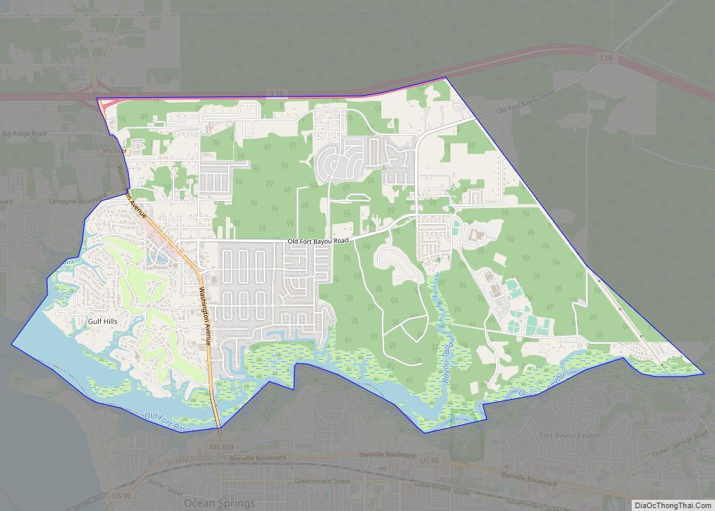
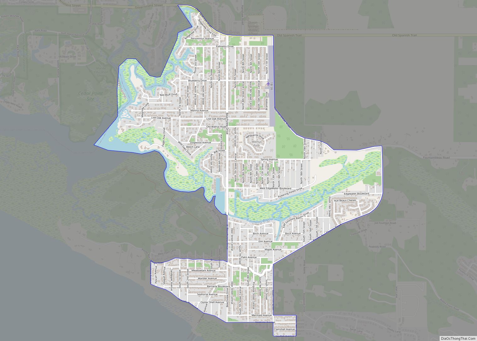
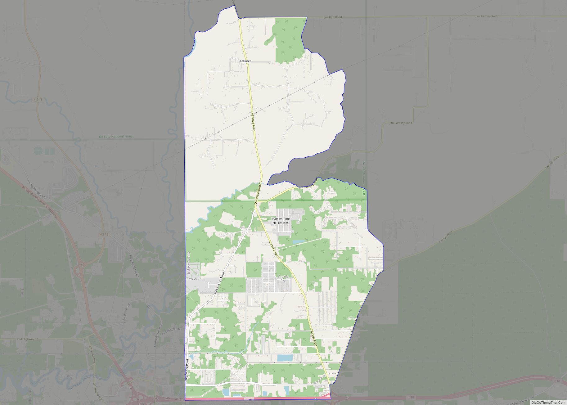
Online Interactive Map
Click on ![]() to view map in "full screen" mode.
to view map in "full screen" mode.
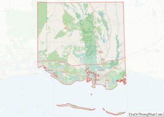
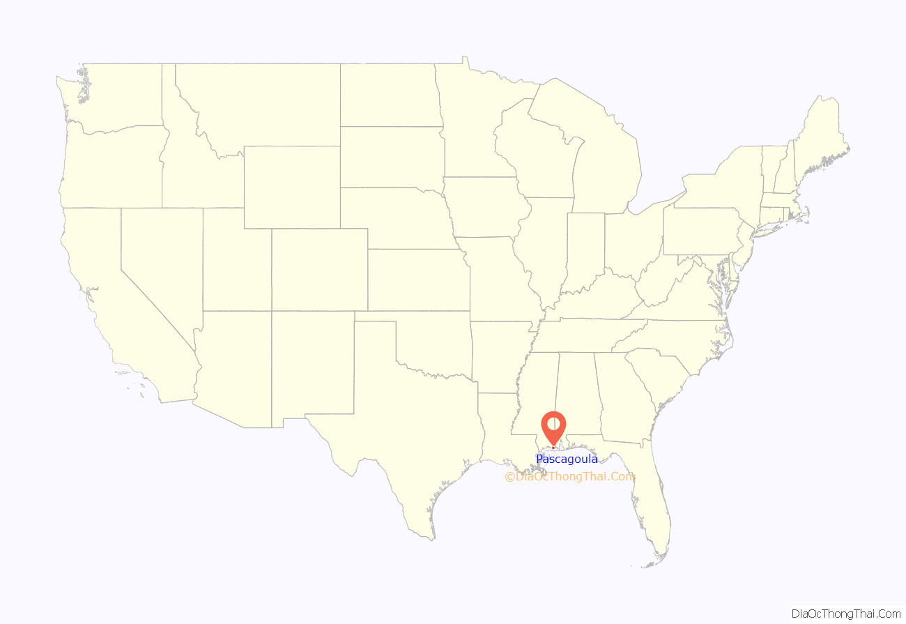
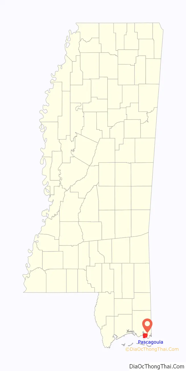
Pascagoula location map. Where is Pascagoula city?
History
Early history
The name Pascagoula, which means “bread eater”, is taken from the Pascagoula, a group of Native Americans found in villages along the Pascagoula River some distance above its mouth. Hernando de Soto seems to have made the first contact with them in the 1540s, though little is known of that encounter. Pierre Le Moyne d’Iberville, founder of the colony of Louisiana, left a more detailed account from an expedition of this region in 1700.
The first detailed account comes from Jean-Baptiste Le Moyne de Bienville, younger brother of Iberville, whom the Pascagoula visited at Fort Maurepas in present-day Ocean Springs, shortly after it was settled and while the older brother was away in France. There are few details that are certain about these people, except that their language seemed not to have shared an etymological root with the larger native groups to the north, the Choctaw particularly, who speak a Muskogean language. There has been speculation that their language may be related to Biloxi. The Biloxi people spoke a now extinct Siouan language, which is related to the languages spoken by the Sioux, Crow, and Ho-Chunk.
The territory of the Biloxi people seems to have ranged from the areas of what are now called Biloxi Bay to Bayou La Batre (Alabama) and 25 miles (40 km) up the Pascagoula River, and the Pascagoula people’s territory seems to have ranged between some distance north of there to the confluence of the Leaf and Chickasawhay rivers. However, the Pascagoula language is completely undocumented – thus, genealogical affiliations from other authors are speculation.
The first European settlers of Pascagoula were Jean Baptiste Baudreau Dit Graveline, Joseph Simon De La Pointe and his aunt, Madame Chaumont.
Modern history
The region changed hands over the next century, being occupied variously by the English, French, and Spanish until well after the American Revolutionary War. It came into the permanent possession of the United States in 1812 when it was added to the Mississippi Territory. At one point, for 74 days in 1810, Pascagoula was a part of what was known as the Republic of West Florida. Pascagoula was incorporated as a village in 1892. It obtained city status in 1901. Today’s downtown Pascagoula used to be the town of Scranton, Mississippi, incorporated in 1870. The two towns merged in 1904 by Governor’s proclamation and in 1912 by Mississippi legislative act.
In October 1973, an alleged unidentified flying object sighting and alien abduction is said to have occurred when co-workers Charles Hickson and Calvin Parker claimed they were abducted by aliens while fishing near Pascagoula. The incident, Pascagoula Abduction, earned substantial mass media attention. In June 2019, Pascagoula placed an historical marker near the alleged abduction site.
Hurricane Katrina
On August 29, 2005, Hurricane Katrina’s 20-foot (6.1 m) storm surge devastated Pascagoula, much like Biloxi and Gulfport and the rest of the Mississippi Gulf Coast. Katrina came ashore during the high tide of 6:12 AM, 2.1 ft (0.64 m) more. Nearly 92% of Pascagoula was flooded. Most homes along Beach Boulevard were destroyed, and FEMA trailers became an omnipresent sight.
Due to the media focus on the plight of New Orleans and Biloxi-Gulfport in the aftermath of Katrina, many Pascagoula citizens have expressed feeling neglected or even forgotten following the storm. Most Pascagoula residents did not possess flood insurance, and many were required to put their homes on pilings before being given a permit to rebuild. TITANTubes, sometimes referred to as geotubes, were installed under the beach to serve as low-profile dune cores to protect the evacuation route.
United States Navy officials announced that two Arleigh Burke-class guided missile destroyers that were under construction at Northrop Grumman Ship Systems in Pascagoula had been damaged by the storm, as well as the amphibious assault ship USS Makin Island.
Hurricane Katrina damaged over forty Mississippi libraries, flooding the Pascagoula Public Library’s first floor and causing mold in the building.
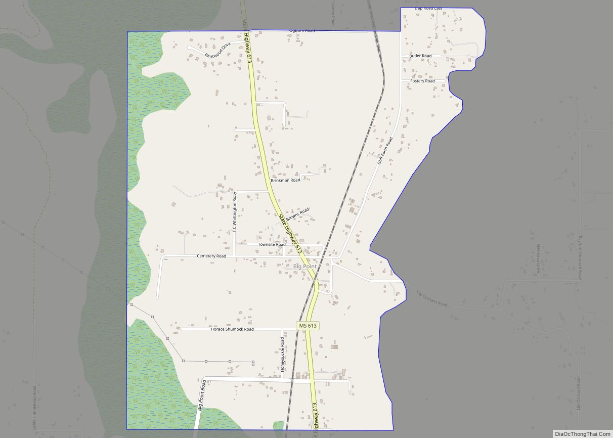
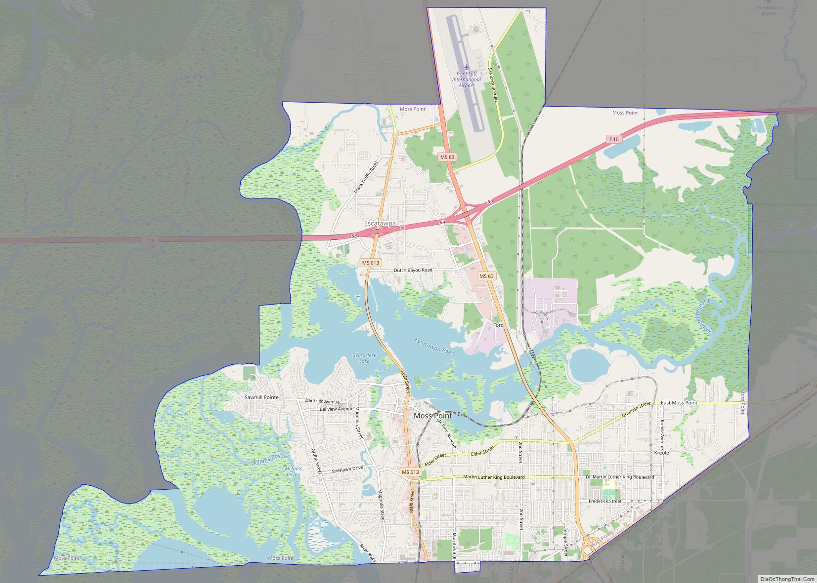
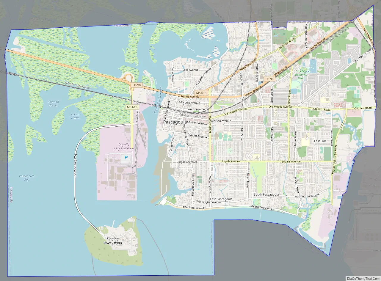
Pascagoula Road Map
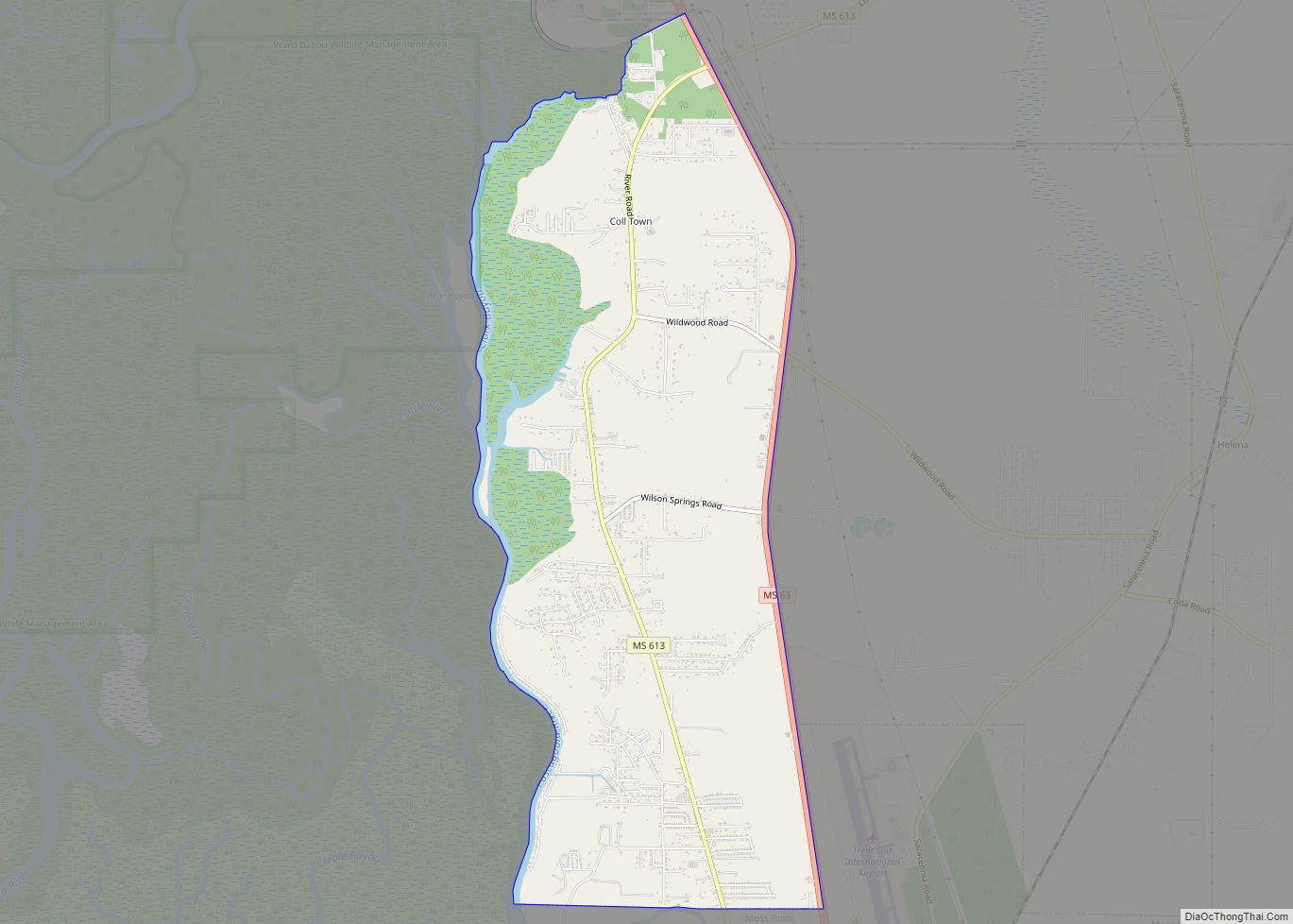
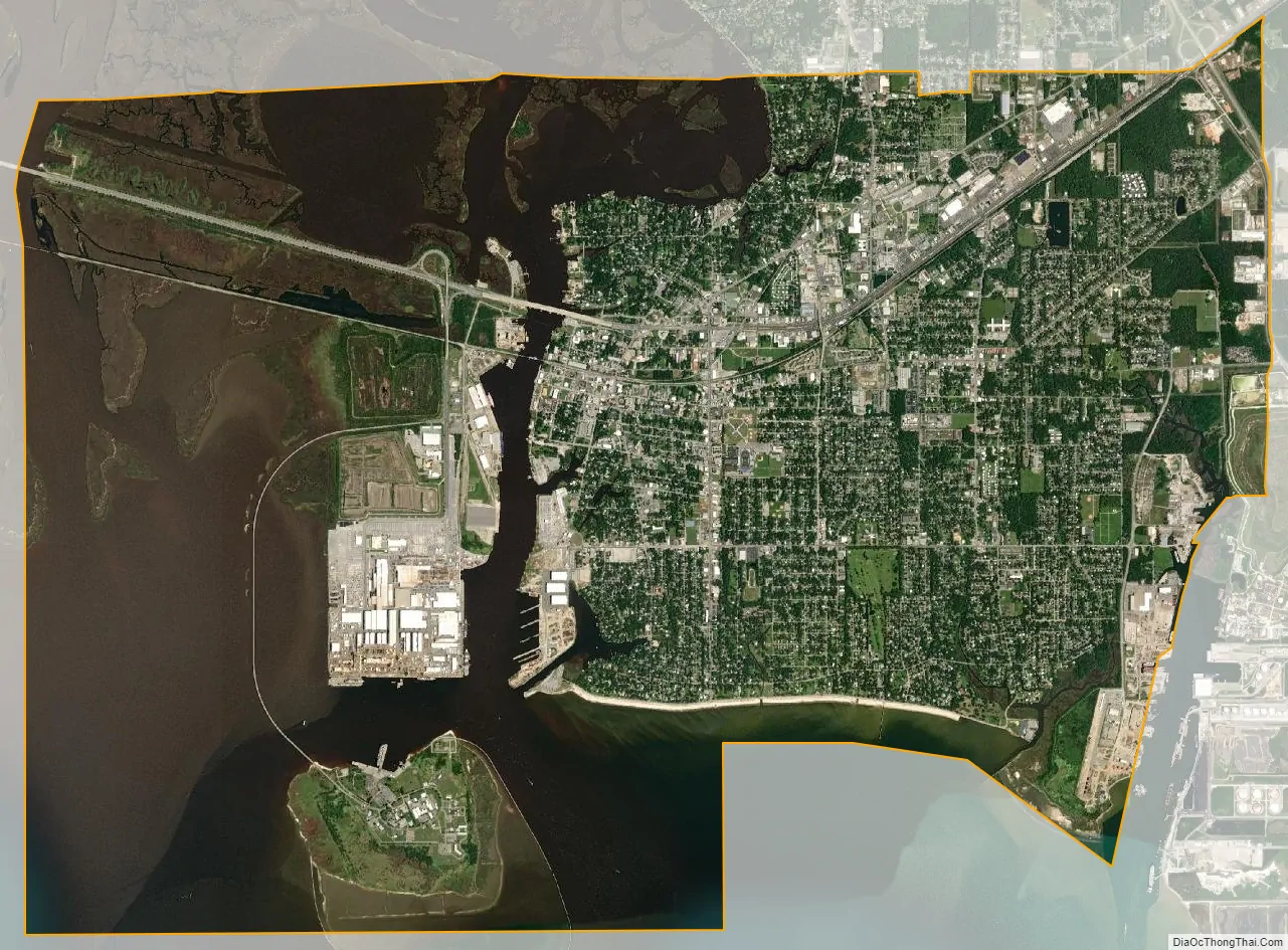
Pascagoula city Satellite Map
Geography
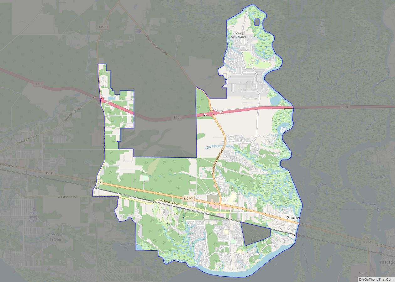
Pascagoula is located along Mississippi Sound, on the east side of the mouth of the Pascagoula River. It is bordered to the north by Moss Point and to the west, across the Pascagoula River, by Gautier. The city has a total area of 24.5 square miles (63.4 km), of which 15.4 square miles (39.8 km) are land and 9.1 square miles (23.6 km), or 37.25%, are water.
U.S. Route 90 (Denny Avenue) passes through the city, leading northeast 16 miles (26 km) to Grand Bay, Alabama, and west 21 miles (34 km) to Biloxi. Mississippi Highway 613 (Telephone Road) leads north from US-90 into Moss Point and 5 miles (8 km) to Interstate 10.
See also
Map of Mississippi State and its subdivision:- Adams
- Alcorn
- Amite
- Attala
- Benton
- Bolivar
- Calhoun
- Carroll
- Chickasaw
- Choctaw
- Claiborne
- Clarke
- Clay
- Coahoma
- Copiah
- Covington
- Desoto
- Forrest
- Franklin
- George
- Greene
- Grenada
- Hancock
- Harrison
- Hinds
- Holmes
- Humphreys
- Issaquena
- Itawamba
- Jackson
- Jasper
- Jefferson
- Jefferson Davis
- Jones
- Kemper
- Lafayette
- Lamar
- Lauderdale
- Lawrence
- Leake
- Lee
- Leflore
- Lincoln
- Lowndes
- Madison
- Marion
- Marshall
- Monroe
- Montgomery
- Neshoba
- Newton
- Noxubee
- Oktibbeha
- Panola
- Pearl River
- Perry
- Pike
- Pontotoc
- Prentiss
- Quitman
- Rankin
- Scott
- Sharkey
- Simpson
- Smith
- Stone
- Sunflower
- Tallahatchie
- Tate
- Tippah
- Tishomingo
- Tunica
- Union
- Walthall
- Warren
- Washington
- Wayne
- Webster
- Wilkinson
- Winston
- Yalobusha
- Yazoo
- Alabama
- Alaska
- Arizona
- Arkansas
- California
- Colorado
- Connecticut
- Delaware
- District of Columbia
- Florida
- Georgia
- Hawaii
- Idaho
- Illinois
- Indiana
- Iowa
- Kansas
- Kentucky
- Louisiana
- Maine
- Maryland
- Massachusetts
- Michigan
- Minnesota
- Mississippi
- Missouri
- Montana
- Nebraska
- Nevada
- New Hampshire
- New Jersey
- New Mexico
- New York
- North Carolina
- North Dakota
- Ohio
- Oklahoma
- Oregon
- Pennsylvania
- Rhode Island
- South Carolina
- South Dakota
- Tennessee
- Texas
- Utah
- Vermont
- Virginia
- Washington
- West Virginia
- Wisconsin
- Wyoming