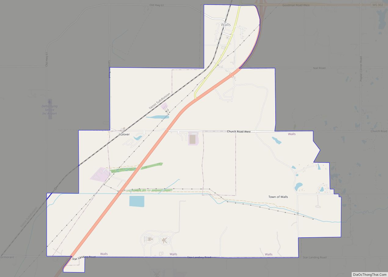
Walls is a town located in northern DeSoto County, Mississippi, United States, near the Mississippi River, part of the larger region known as “The Delta”, and known for its rich, dark soil. As it is in the upper northwest corner of Mississippi, it is in the Memphis, Tennessee metropolitan area. Its ZIP code is 38680. As of the 2010 census it had a population of 1,162, with an estimated population of 1,463 in 2018.
| Name: | Walls town |
|---|---|
| LSAD Code: | 43 |
| LSAD Description: | town (suffix) |
| State: | Mississippi |
| County: | DeSoto County |
| Elevation: | 211 ft (64 m) |
| Total Area: | 11.96 sq mi (30.98 km²) |
| Land Area: | 11.84 sq mi (30.66 km²) |
| Water Area: | 0.13 sq mi (0.33 km²) |
| Total Population: | 1,351 |
| Population Density: | 114.13/sq mi (44.07/km²) |
| FIPS code: | 2877400 |
| Website: | www.townofwalls.com |
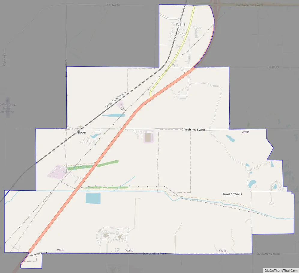
Online Interactive Map
Click on ![]() to view map in "full screen" mode.
to view map in "full screen" mode.
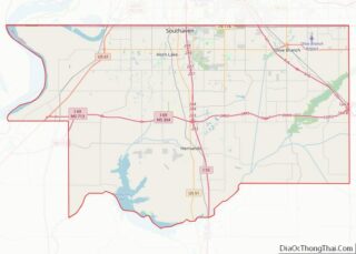
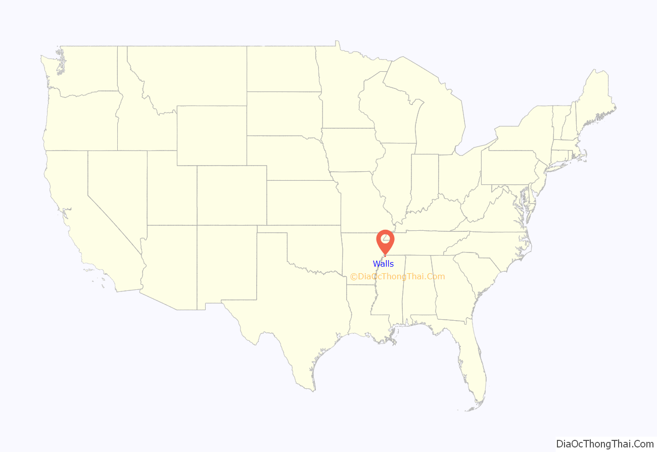
Walls location map. Where is Walls town?
History
A relatively young community, Walls was originally named “Alpika”, an old Chickasaw Native American word. The name was changed to Walls in 1906.
Walls was named after Captain June Walls, who served in the Civil War. Captain Walls was an early settler and merchant of the region in the 1880s.
A Mississippian culture village site near Walls, the Walls Site, gives its name to the Walls phase, the last prehistoric cultural expression before European contact. The historic trail of Hernando de Soto leads through DeSoto County to near Walls.
Today, Walls is a community rich in agriculture. Cotton, soybeans, rice and corn are planted each spring. The railroad played a vital part in the growth of the area in the early to mid 1900s. The mechanical revolution of the 1950s and 1960s changed Walls, as well as many other Delta communities.
A significant part of the community is the Sacred Heart League, operator of the Sacred Heart School in Walls. The league raised funds through the sale of a famous statue of Jesus Christ. In the 1960s, the statue could be found on the dashboards of vehicles across America.
The town of Walls, which has been a community since the early 1900s, was connected to the tiny village of Memphis which was incorporated in the early 1970s and was located just south of the Walls community. In 2003/2004, the village of Memphis was annexed, thereby giving the town of Walls the official status of a municipality.
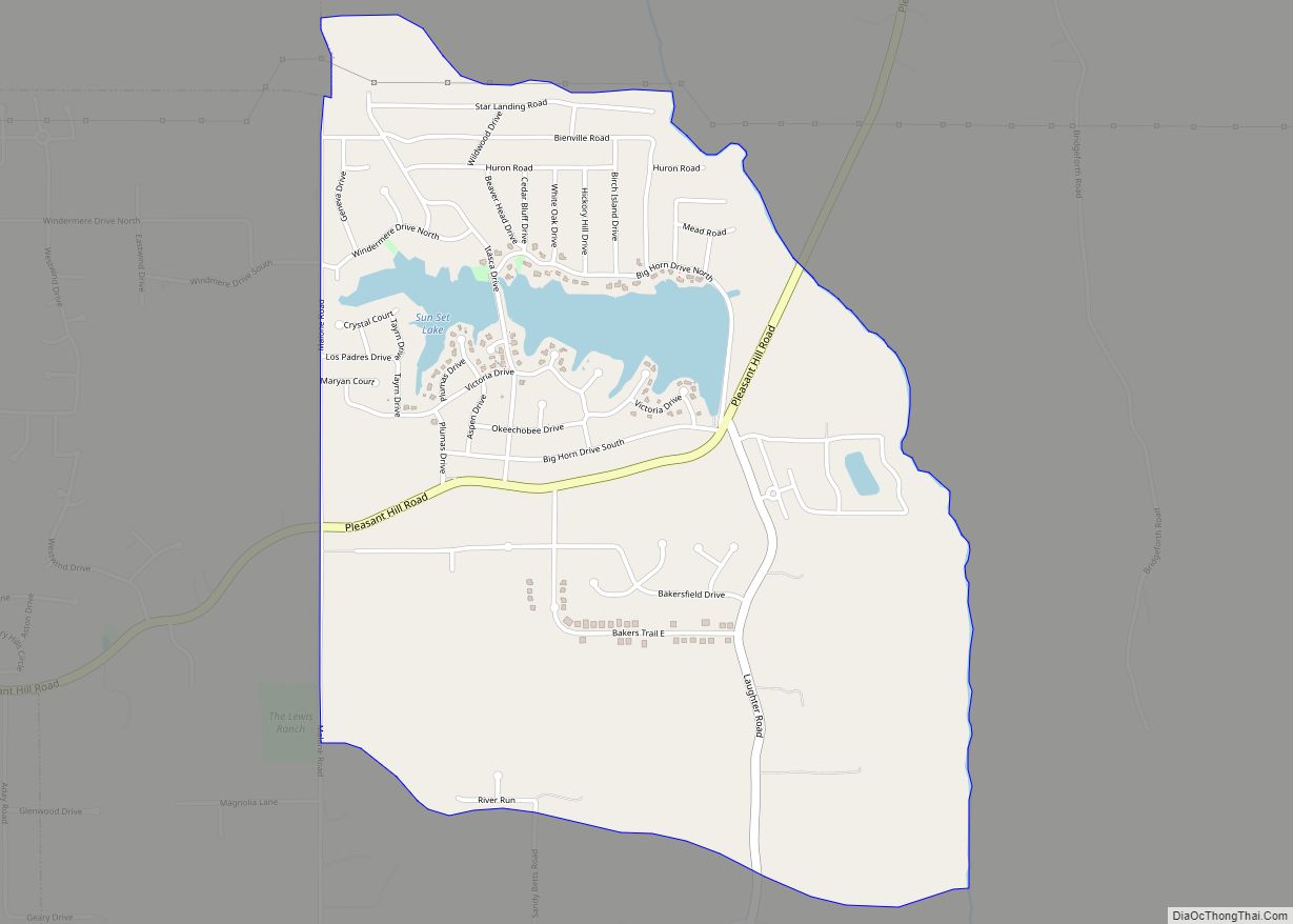
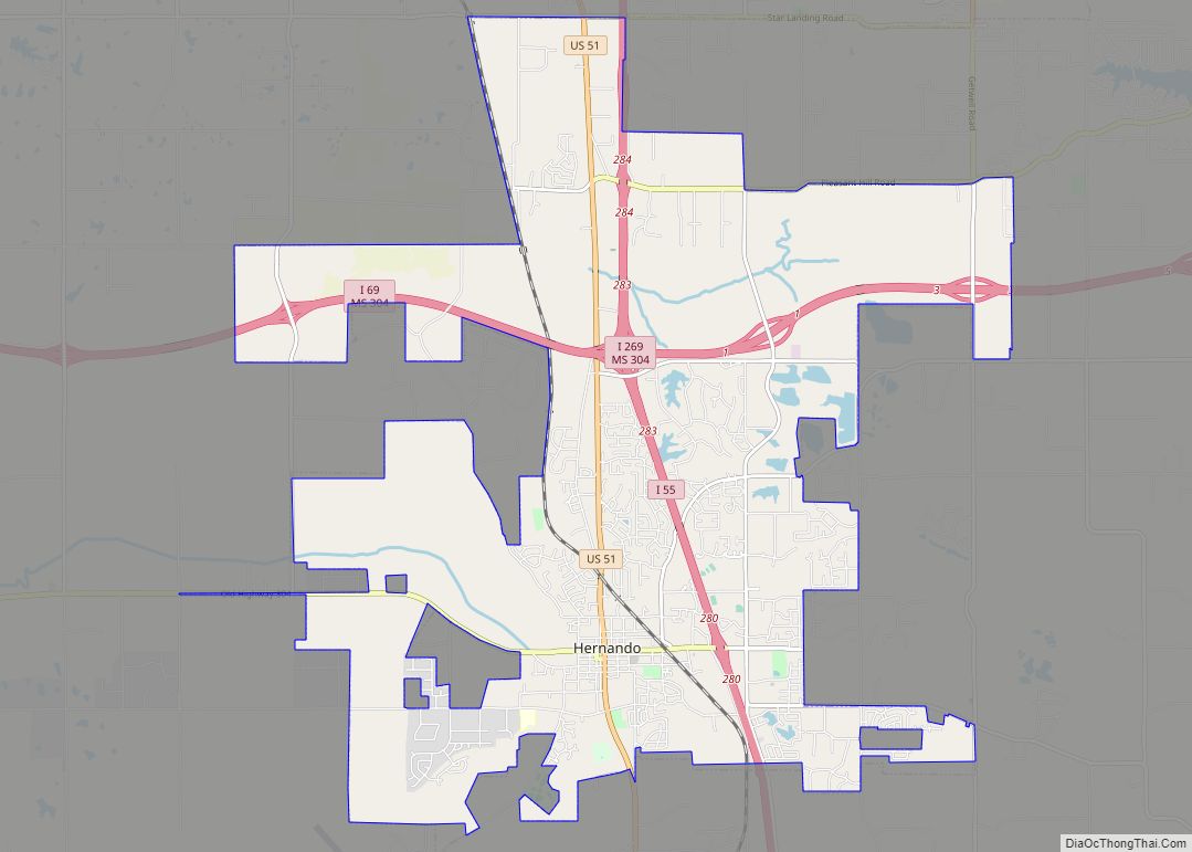
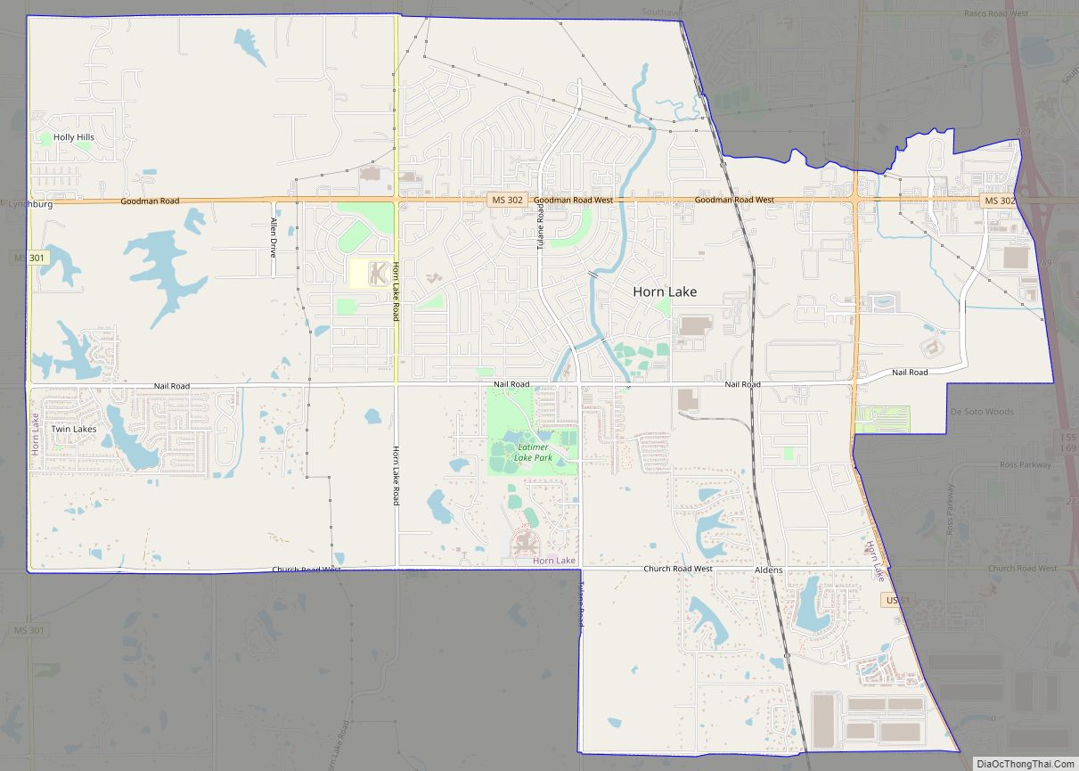
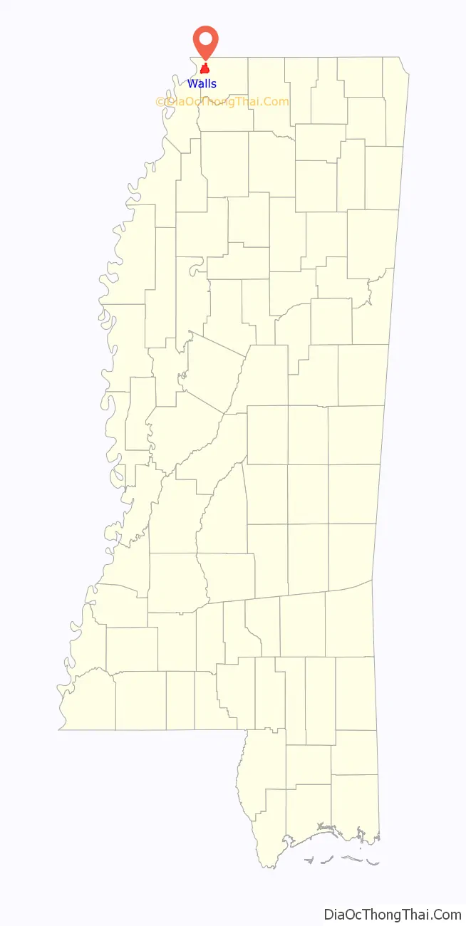
Walls Road Map
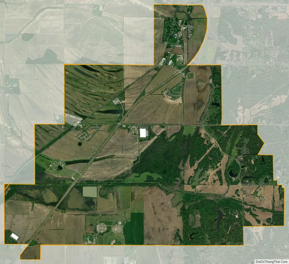
Walls city Satellite Map
Geography
Average temperatures: January = 39.4 F July = 81.1 F
Subdivisions (in the city limits)
- Kaitlin Ridge
- Mallard Park
- Encore
Neighboring cities
- Memphis, Tennessee (north)
- Horn Lake (east)
- Tunica Resorts (southwest)
See also
Map of Mississippi State and its subdivision:- Adams
- Alcorn
- Amite
- Attala
- Benton
- Bolivar
- Calhoun
- Carroll
- Chickasaw
- Choctaw
- Claiborne
- Clarke
- Clay
- Coahoma
- Copiah
- Covington
- Desoto
- Forrest
- Franklin
- George
- Greene
- Grenada
- Hancock
- Harrison
- Hinds
- Holmes
- Humphreys
- Issaquena
- Itawamba
- Jackson
- Jasper
- Jefferson
- Jefferson Davis
- Jones
- Kemper
- Lafayette
- Lamar
- Lauderdale
- Lawrence
- Leake
- Lee
- Leflore
- Lincoln
- Lowndes
- Madison
- Marion
- Marshall
- Monroe
- Montgomery
- Neshoba
- Newton
- Noxubee
- Oktibbeha
- Panola
- Pearl River
- Perry
- Pike
- Pontotoc
- Prentiss
- Quitman
- Rankin
- Scott
- Sharkey
- Simpson
- Smith
- Stone
- Sunflower
- Tallahatchie
- Tate
- Tippah
- Tishomingo
- Tunica
- Union
- Walthall
- Warren
- Washington
- Wayne
- Webster
- Wilkinson
- Winston
- Yalobusha
- Yazoo
- Alabama
- Alaska
- Arizona
- Arkansas
- California
- Colorado
- Connecticut
- Delaware
- District of Columbia
- Florida
- Georgia
- Hawaii
- Idaho
- Illinois
- Indiana
- Iowa
- Kansas
- Kentucky
- Louisiana
- Maine
- Maryland
- Massachusetts
- Michigan
- Minnesota
- Mississippi
- Missouri
- Montana
- Nebraska
- Nevada
- New Hampshire
- New Jersey
- New Mexico
- New York
- North Carolina
- North Dakota
- Ohio
- Oklahoma
- Oregon
- Pennsylvania
- Rhode Island
- South Carolina
- South Dakota
- Tennessee
- Texas
- Utah
- Vermont
- Virginia
- Washington
- West Virginia
- Wisconsin
- Wyoming