East Rutherford is a borough in Bergen County, in the U.S. state of New Jersey. As of the 2020 United States census, the borough’s population was 10,022, an increase of 1,109 (+12.4%) from the 2010 census count of 8,913, which in turn reflected an increase of 197 (+2.3%) from the 8,716 counted in the 2000 census. It is an inner-ring suburb of New York City, located 7 miles (11 km) west of Midtown Manhattan.
Under the terms of an act of the New Jersey Legislature on April 17, 1889, a portion of the old Union Township was incorporated under the name of Boiling Springs Township. The new township took its name from a spring in the community. On March 28, 1894, the Borough of East Rutherford was created, based on the results of a referendum held the previous day, and Boiling Springs Township was dissolved. While there was no change in its borders, the name and form of government were changed. The borough was the second formed during the “Boroughitis” phenomenon then sweeping through Bergen County, in which 26 boroughs were formed in the county in 1894 alone.
East Rutherford is the home of the Meadowlands Sports Complex, which includes Meadowlands Arena and MetLife Stadium, and used to be the location of Giants Stadium. The arena was best known as the former home of the New Jersey Devils of the National Hockey League and of the New Jersey Nets of the National Basketball Association, and for hosting college basketball, arena football, concerts, and other events. MetLife Stadium is home of the New York Giants and New York Jets of the National Football League (NFL), the New York Guardians of the XFL, and hosted Super Bowl XLVIII, which made East Rutherford the smallest city ever to host a Super Bowl. East Rutherford will be one of 16 venues chosen to host games for the 2026 FIFA World Cup, with matches being played at MetLife Stadium. Giants Stadium, which hosted the Giants and Jets until 2009, was also the original home of the New York Red Bulls of Major League Soccer. East Rutherford is the only municipality with fewer than 10,000 residents to have been home to five professional sports teams simultaneously, as well as the smallest city to host any professional sports team within its city limits.
The borough is also the site of American Dream Meadowlands, a large shopping center and entertainment complex that was originally named “Xanadu” which opened on October 25, 2019.
| Name: | East Rutherford borough |
|---|---|
| LSAD Code: | 21 |
| LSAD Description: | borough (suffix) |
| State: | New Jersey |
| County: | Bergen County |
| Incorporated: | April 17, 1889 (as Boiling Springs township) |
| Elevation: | 3 ft (0.9 m) |
| Total Area: | 4.04 sq mi (10.47 km²) |
| Land Area: | 3.71 sq mi (9.61 km²) |
| Water Area: | 0.33 sq mi (0.85 km²) 8.14% |
| Total Population: | 10,022 |
| Population Density: | 2,699.9/sq mi (1,042.4/km²) |
| ZIP code: | 07073 |
| Area code: | 201 and 551 |
| FIPS code: | 3419510 |
| GNISfeature ID: | 0885201 |
| Website: | www.eastrutherfordnj.net |
Online Interactive Map
Click on ![]() to view map in "full screen" mode.
to view map in "full screen" mode.
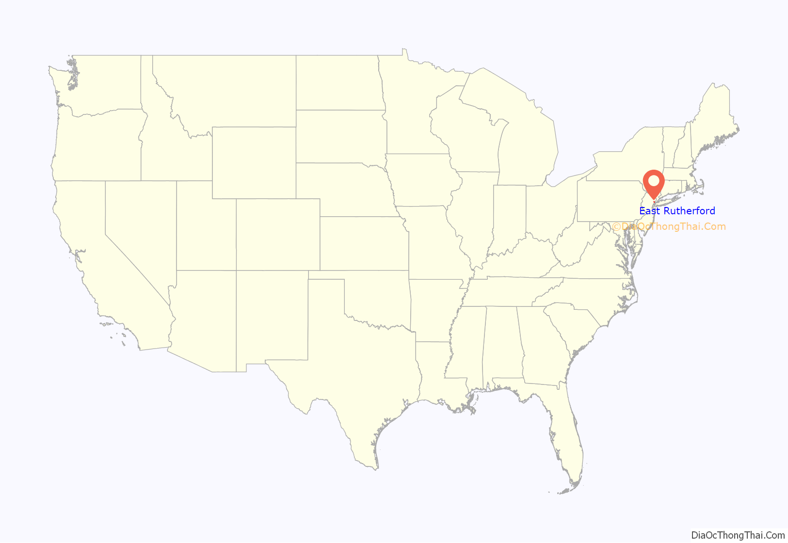
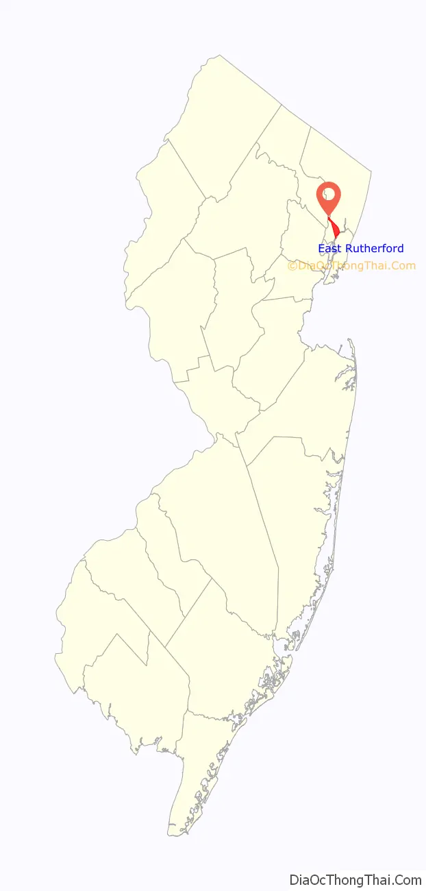
East Rutherford location map. Where is East Rutherford borough?
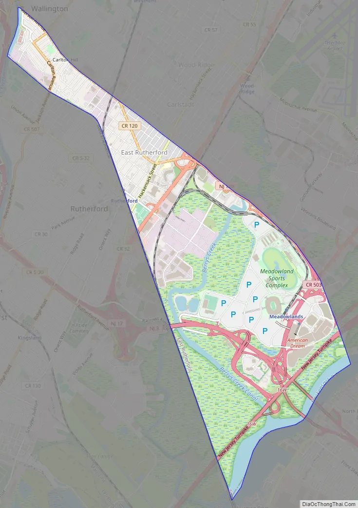
East Rutherford Road Map
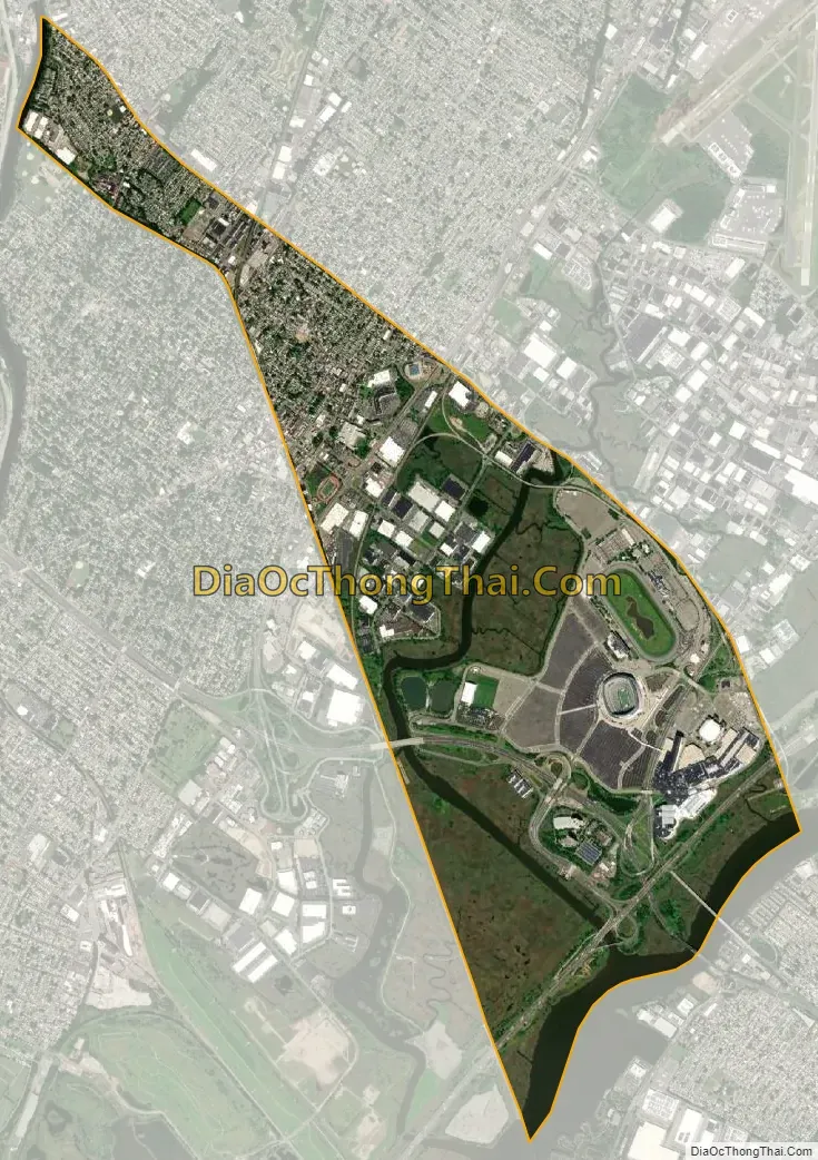
East Rutherford city Satellite Map
Geography
According to the U.S. Census Bureau, the borough had a total area of 4.04 square miles (10.47 km), including 3.71 square miles (9.61 km) of land and 0.33 square miles (0.85 km) of water (8.14%).
East Rutherford is bounded on the north by the boroughs of Carlstadt and Wallington and to the south by the borough of Rutherford in Bergen County; by Secaucus in Hudson County; and by Passaic in Passaic County. The Passaic River is the western boundary, and the Hackensack River is the eastern boundary. The area in which East Rutherford is located is the valley of the Passaic and Hackensack rivers.
Carlton Hill is an unincorporated community located within the township.
See also
Map of New Jersey State and its subdivision: Map of other states:- Alabama
- Alaska
- Arizona
- Arkansas
- California
- Colorado
- Connecticut
- Delaware
- District of Columbia
- Florida
- Georgia
- Hawaii
- Idaho
- Illinois
- Indiana
- Iowa
- Kansas
- Kentucky
- Louisiana
- Maine
- Maryland
- Massachusetts
- Michigan
- Minnesota
- Mississippi
- Missouri
- Montana
- Nebraska
- Nevada
- New Hampshire
- New Jersey
- New Mexico
- New York
- North Carolina
- North Dakota
- Ohio
- Oklahoma
- Oregon
- Pennsylvania
- Rhode Island
- South Carolina
- South Dakota
- Tennessee
- Texas
- Utah
- Vermont
- Virginia
- Washington
- West Virginia
- Wisconsin
- Wyoming


