Glen Rock is a borough in Bergen County, in the U.S. state of New Jersey. As of the 2020 United States census, the borough’s population was 12,133, an increase of 532 (+4.6%) from the 2010 census count of 11,601, which in turn reflected increased by 55 (+0.5%) from the 11,546 counted in the 2000 census.
The borough has been one of the state’s highest-income communities. Based on data from the American Community Survey for 2013–2017, Glen Rock residents had a median household income of $162,443, ranked 6th in the state among municipalities with more than 10,000 residents, more than double the statewide median of $76,475.
Glen Rock was voted one of the best places to live in New Jersey for its low crime rate, good schools, close proximity to New York City and its high property values, including in 2018, when Niche ranked it the 19th best place to live in New Jersey.
| Name: | Glen Rock borough |
|---|---|
| LSAD Code: | 21 |
| LSAD Description: | borough (suffix) |
| State: | New Jersey |
| County: | Bergen County |
| Incorporated: | September 14, 1894 |
| Elevation: | 131 ft (40 m) |
| Total Area: | 2.72 sq mi (7.04 km²) |
| Land Area: | 2.70 sq mi (7.00 km²) |
| Water Area: | 0.01 sq mi (0.04 km²) 0.51% |
| Total Population: | 12,133 |
| Population Density: | 4,488.7/sq mi (1,733.1/km²) |
| ZIP code: | 07452 |
| Area code: | 201 |
| FIPS code: | 3426640 |
| GNISfeature ID: | 0885233 |
| Website: | www.glenrocknj.net |
Online Interactive Map
Click on ![]() to view map in "full screen" mode.
to view map in "full screen" mode.
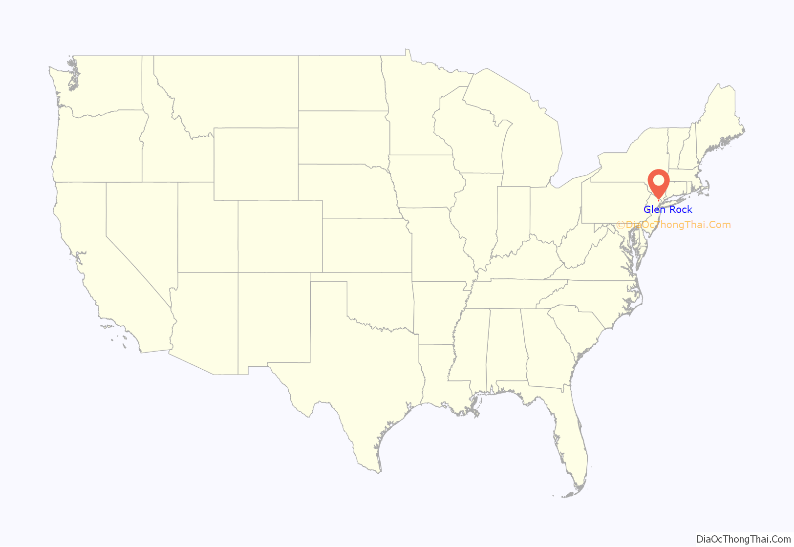
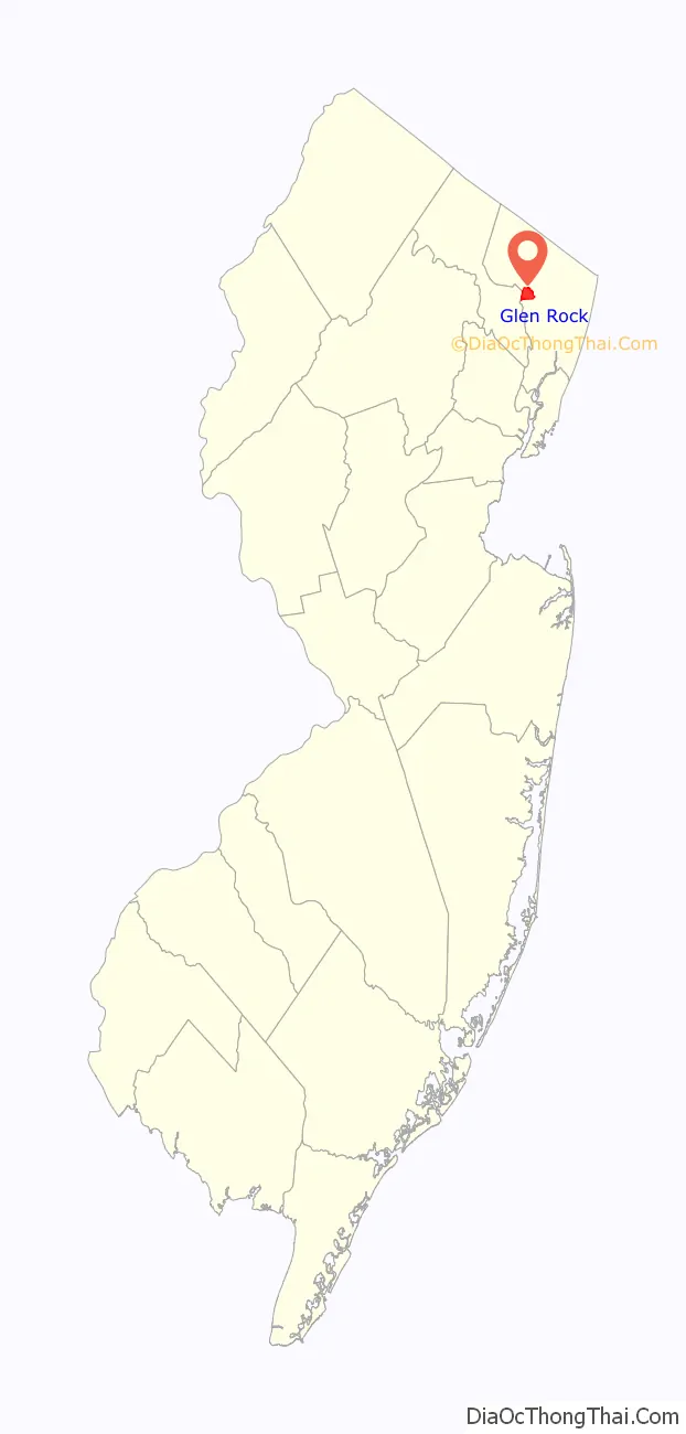
Glen Rock location map. Where is Glen Rock borough?
History
Glen Rock was formed on September 14, 1894, from portions of Ridgewood Township and Saddle River Township during the “Boroughitis” phenomenon then sweeping through Bergen County, in which 26 boroughs were formed in the county in 1894 alone. The main impetus for the break from Ridgewood Township was the decision to have Glen Rock students attend a new school closer to the center of Ridgewood instead of their one-room schoolhouse located at the intersection of Ackerman Avenue and Rock Road. Originally, the borough was to be named “South Ridgewood”, but in order to prevent confusion with the neighboring Ridgewood Village, resident Monsieur Viel suggested the alternative name of Glen Rock.
The borough was settled around the Glen Rock, a large boulder in a small valley (glen), from which the borough gets its name. The rock, a glacial erratic weighing in at 570 short tons (520 t) and located where Doremus Avenue meets Rock Road, is believed to have been carried to the site by a glacier that picked up the rock 15,000 years ago near Peekskill, New York, and carried it for 20 miles (32 km) to its present location. The Lenape Native Americans called the boulder “Pamachapuka” (meaning “stone from heaven” or “stone from the sky”) and used it for signal fires and as a trail marker.
The borough was the site of one of Bergen County’s most serious public transportation accidents. In 1911, a trolley operator for the North Jersey Rapid Transit Company, one day away from retirement, died in a crash with an opposing trolley around the intersection of Prospect and Grove Streets that was caused by signal problems. In addition to the death of the opposing trolley operator, 12 people were injured. This crash in part hastened the demise of this transportation mode which ran from Elmwood Park, New Jersey, to Suffern, New York, and competed with the Erie Railroad. The right of way for this trolley line was purchased by the Public Service Enterprise Group and is still visible today.
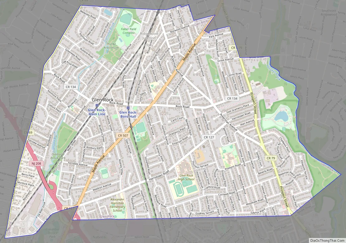
Glen Rock Road Map
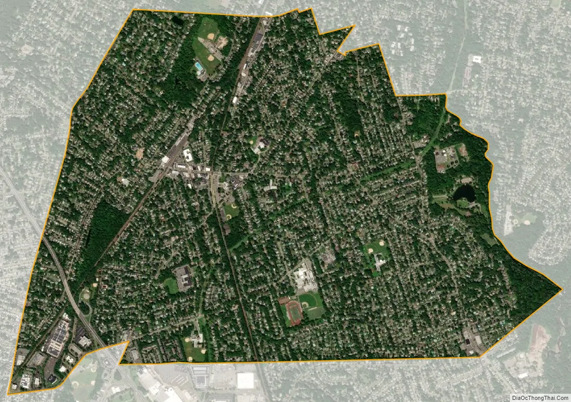
Glen Rock city Satellite Map
Geography
According to the United States Census Bureau, the borough had a total area of 2.72 square miles (7.04 km), including 2.70 square miles (7.00 km) of land and 0.01 square miles (0.04 km) of water (0.51%).
Unincorporated communities, localities and place names located partially or completely within the borough include Ferndale.
The borough borders the municipalities of Fair Lawn, Paramus and Ridgewood in Bergen County, and Hawthorne in Passaic County.
See also
Map of New Jersey State and its subdivision: Map of other states:- Alabama
- Alaska
- Arizona
- Arkansas
- California
- Colorado
- Connecticut
- Delaware
- District of Columbia
- Florida
- Georgia
- Hawaii
- Idaho
- Illinois
- Indiana
- Iowa
- Kansas
- Kentucky
- Louisiana
- Maine
- Maryland
- Massachusetts
- Michigan
- Minnesota
- Mississippi
- Missouri
- Montana
- Nebraska
- Nevada
- New Hampshire
- New Jersey
- New Mexico
- New York
- North Carolina
- North Dakota
- Ohio
- Oklahoma
- Oregon
- Pennsylvania
- Rhode Island
- South Carolina
- South Dakota
- Tennessee
- Texas
- Utah
- Vermont
- Virginia
- Washington
- West Virginia
- Wisconsin
- Wyoming


