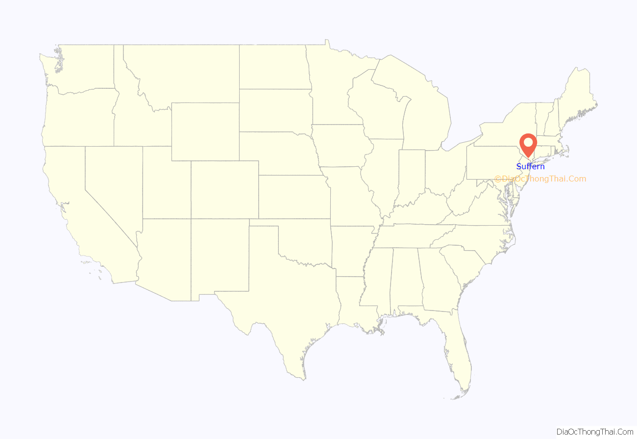
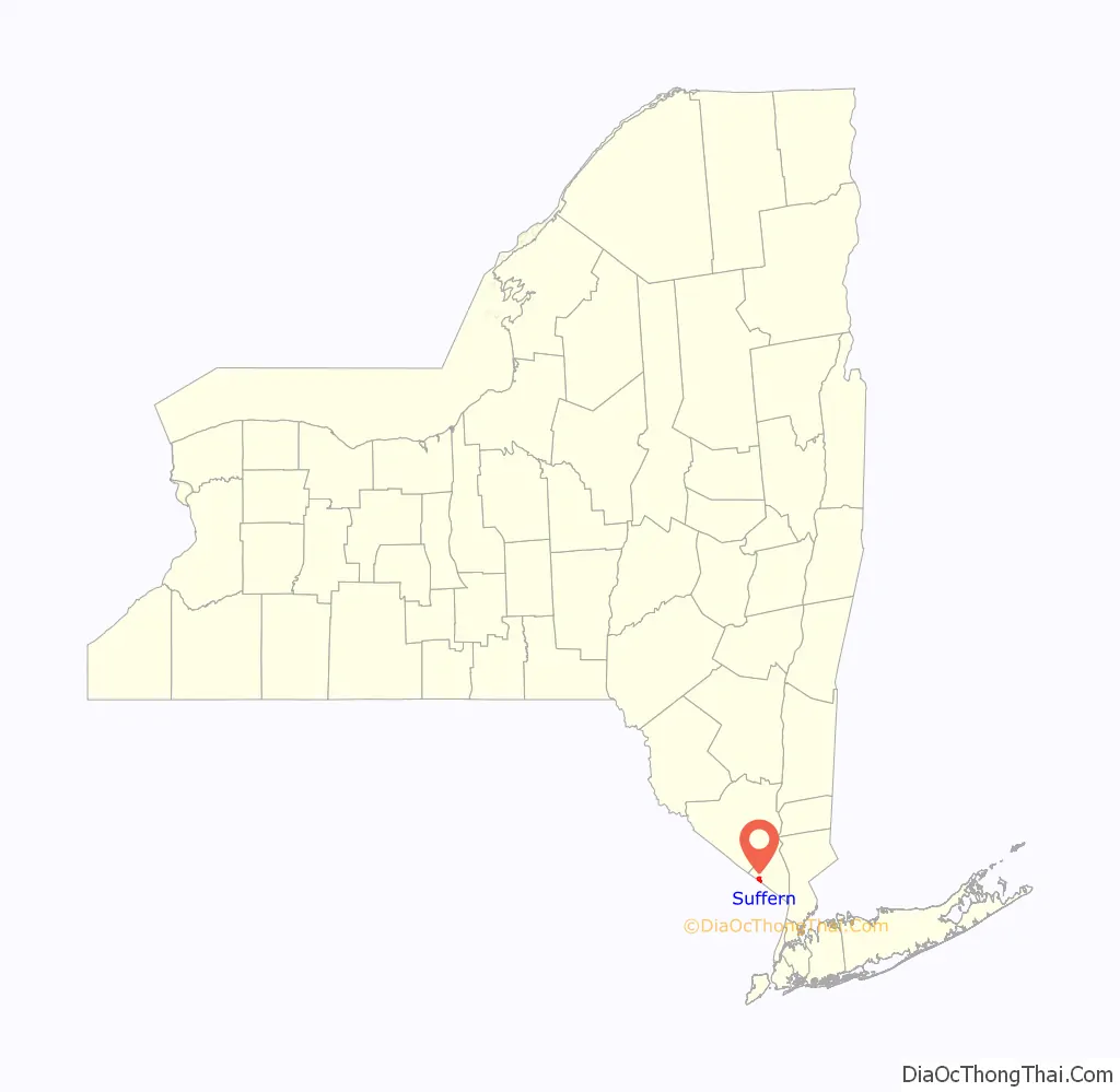
Suffern is a village that was incorporated in 1796 in the town of Ramapo in Rockland County, New York. Suffern is located 31 miles northwest of Manhattan. As of the 2010 census, Suffern’s population was 10,723.
| Name: | Suffern village |
|---|---|
| LSAD Code: | 47 |
| LSAD Description: | village (suffix) |
| State: | New York |
| County: | Rockland County |
| Incorporated: | 1796 |
| Elevation: | 312 ft (95 m) |
| Total Area: | 2.13 sq mi (5.52 km²) |
| Land Area: | 2.10 sq mi (5.43 km²) |
| Water Area: | 0.03 sq mi (0.08 km²) |
| Total Population: | 11,441 |
| Population Density: | 5,455.89/sq mi (2,106.45/km²) |
| ZIP code: | 10901 |
| Area code: | 845 |
| FIPS code: | 3671894 |
| GNISfeature ID: | 2391161 |
| Website: | www.suffernny.gov |
Online Interactive Map
Click on ![]() to view map in "full screen" mode.
to view map in "full screen" mode.
Suffern location map. Where is Suffern village?
History
“The Point of the Mountains” or “Sidman’s Clove” were names used before the American Revolution to designate the present village of Suffern. The area originally was inhabited by the Ramapough, a tribe of Munsee, who were a division of the Lenape tribe. Upon Sidman’s death, this land passed into the hands of his son-in-law, John Smith, who sold it to John Suffern.
The village of Suffern was founded in 1796. John Suffern, first Rockland County judge, 1798–1806, settled near the base of the Ramapo Mountains in 1773, and called the place New Antrim, after his home in County Antrim, Northern Ireland. His French Huguenot ancestors had settled there after fleeing religious persecution in France. New Antrim’s location was considered strategically important in the Revolutionary War because it was at an important crossroads near Ramapo Pass. General George Washington and other important military leaders used John Suffern’s home as headquarters when they were in the area.
This history has been recognized by the town. Suffern is a stop on the Washington–Rochambeau Revolutionary Route National Historic Trail, under the auspices of the National Park Service. This trail commemorates the route followed by General Washington and the French Comte de Rochambeau as they traveled to the siege of Yorktown, Virginia, which led to victory for the United States in gaining independence.
Rochambeau made encampment with his 5,000 soldiers in Suffern on August 25, 1781, on his way to Yorktown, and again on September 13, 1782, as he retraced his steps to New York. An historical marker on the Washington Avenue side of the Lafayette Theatre identifies this site of “Rochambeau’s Encampment 1781–1782”. The National Park Service has installed a wayside panel near the gazebo in Suffern to commemorate Rochambeau’s encampment in Suffern. At the time of the encampment, this site was directly across the road from village founder John Suffern’s home and tavern where the Count de Rochambeau stayed. Based on an 1860 painting of John Suffern’s home that showed the well in the side yard, his home would have been in at the area of Licata Insurance. The well is in the basement of the furniture store.
During the war, Commander-in-Chief General Washington and his regiment made camp in the village several times. Lafayette Avenue, the main street of Suffern, is named in honor of Revolutionary War hero Marie-Joseph Paul Yves Roch Gilbert du Motier, better known as the Marquis de Lafayette.
Other guests who took advantage of Suffern’s hospitality included Lieutenant Colonel Aaron Burr, who later became the third Vice President of the United States; General George Clinton, who became the first (and longest-serving) elected Governor of New York, as well as the fourth Vice President of the United States (under both Thomas Jefferson and James Madison); and Alexander Hamilton, first United States Secretary of the Treasury under President Washington.
From Suffern to Monroe was a main route of travel through the western Hudson Highlands. The main road was the Albany Post Road, one of the oldest roads in the state, which served as the stagecoach line between Albany and New York City . Once the Hudson River froze in winter, the Post Road was heavily traveled as an alternate. The 20 miles (32 km) of road through Ramapo Pass was later developed as the Orange Turnpike (now known as Route 17). Tolls were collected from 1800 until 1886 to maintain and improve the road. The New York State Thruway now runs through the pass. The south entrance to the town was garrisoned during the Revolution, with General Washington ordering as many as 400 soldiers to be stationed there at all times.
The first railroad line across Rockland County, the Erie Railroad, was built in 1841 and ran from Piermont to Ramapo. By 1851, the line was extended to Lake Erie, and was considered an engineering marvel. The tracks are now owned by the Norfolk Southern line. In consideration for the right-of-way given it by Judge Edward Suffern, son of founder John, to lay track across his 6 miles (10 km) of land, the Erie Railroad named their depot “Suffern’s Station.” The village became known as Suffern, not New Antrim, as it had been called by John Suffern.
In 1897, Avon Products, known then as California Perfume Company, built a 3,000-square-foot (280 m) laboratory in Suffern. By 1971 the lab had been expanded into the 323,000-square-foot (30,000 m) Avon Suffern Research and Development facility. In late 2005, construction was finished on a state-of-the art, 225,000-square-foot (20,900 m) facility that would become Avon’s global hub for research and development. The new building was constructed on the same site as their previous R&D facility, which was demolished for site parking.
In 1916, what would become New York State Route 59, which reached from Nyack to Spring Valley in 1915, was extended to Suffern and Ramapo Hamlet.
In 1924, the Lafayette Theatre, named for the Revolutionary War hero the Marquis de Lafayette, opened its doors.
In 1972, the Salvation Army moved their School for Officer Training to a 30-acre (120,000 m) site in Suffern. They took over the former School of the Holy Child, a Catholic school for girls.
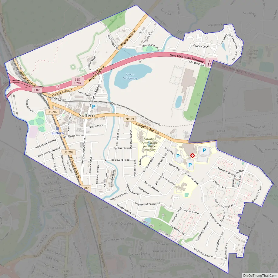
Suffern Road Map
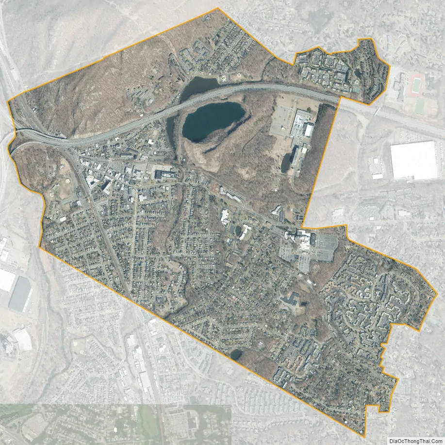
Suffern city Satellite Map
Geography
According to the United States Census Bureau, the village has a total area of 2.1 square miles (5.4 km), of which 0.04 square miles (0.10 km), or 1.42%, is water.
Suffern is designated as a gateway to the Hudson River Valley National Heritage Area.
See also
Map of New York State and its subdivision:- Albany
- Allegany
- Bronx
- Broome
- Cattaraugus
- Cayuga
- Chautauqua
- Chemung
- Chenango
- Clinton
- Columbia
- Cortland
- Delaware
- Dutchess
- Erie
- Essex
- Franklin
- Fulton
- Genesee
- Greene
- Hamilton
- Herkimer
- Jefferson
- Kings
- Lake Ontario
- Lewis
- Livingston
- Madison
- Monroe
- Montgomery
- Nassau
- New York
- Niagara
- Oneida
- Onondaga
- Ontario
- Orange
- Orleans
- Oswego
- Otsego
- Putnam
- Queens
- Rensselaer
- Richmond
- Rockland
- Saint Lawrence
- Saratoga
- Schenectady
- Schoharie
- Schuyler
- Seneca
- Steuben
- Suffolk
- Sullivan
- Tioga
- Tompkins
- Ulster
- Warren
- Washington
- Wayne
- Westchester
- Wyoming
- Yates
- Alabama
- Alaska
- Arizona
- Arkansas
- California
- Colorado
- Connecticut
- Delaware
- District of Columbia
- Florida
- Georgia
- Hawaii
- Idaho
- Illinois
- Indiana
- Iowa
- Kansas
- Kentucky
- Louisiana
- Maine
- Maryland
- Massachusetts
- Michigan
- Minnesota
- Mississippi
- Missouri
- Montana
- Nebraska
- Nevada
- New Hampshire
- New Jersey
- New Mexico
- New York
- North Carolina
- North Dakota
- Ohio
- Oklahoma
- Oregon
- Pennsylvania
- Rhode Island
- South Carolina
- South Dakota
- Tennessee
- Texas
- Utah
- Vermont
- Virginia
- Washington
- West Virginia
- Wisconsin
- Wyoming


