Moonachie (/muːˈnɑːki/; moo-NAH-kee) is a borough in Bergen County, in the U.S. state of New Jersey, in the Hackensack River watershed. As of the 2020 United States census, the borough’s population was 3,133, an increase of 425 (+15.7%) from the 2010 census count of 2,708, which in turn reflected a decline of 46 (−1.7%) from the 2,754 counted in the 2000 census.
Tradition is that the borough was named after Monaghie, an Iroquois chief who inhabited the local cedar forests in the 1600s. Moonachie was incorporated as a borough by an act of the New Jersey Legislature on April 11, 1910, from portions of Lodi Township, based on the results of a referendum held on May 3, 1910. On March 26, 1917, portions of Moonachie were taken to form Teterboro.
The name of the borough is pronounced “moo-nah-kee”; however, in January 1987, then-mayor of New York City Ed Koch pronounced it “mah-NOO-chee” when he made his now-famous quip that the New York Giants should hold their victory parade in the borough after the team had just won Super Bowl XXI. Koch had refused to grant the Giants permission to hold a parade within the city limits because the team plays its home games in New Jersey, not in New York City.
| Name: | Moonachie borough |
|---|---|
| LSAD Code: | 21 |
| LSAD Description: | borough (suffix) |
| State: | New Jersey |
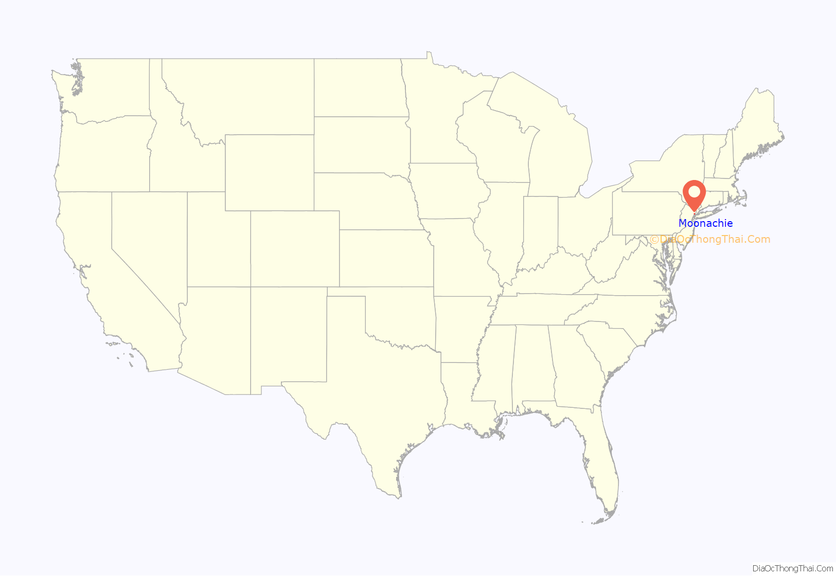
| County: | Bergen County |
| Incorporated: | May 3, 1910 |
| Elevation: | 3 ft (0.9 m) |
| Total Area: | 1.74 sq mi (4.51 km²) |
| Land Area: | 1.73 sq mi (4.48 km²) |
| Water Area: | 0.01 sq mi (0.03 km²) 0.69% |
| Total Population: | 3,133 |
| Population Density: | 1,810.9/sq mi (699.2/km²) |
| ZIP code: | 07074 |
| Area code: | 201 |
| FIPS code: | 3447700 |
| GNISfeature ID: | 0885307 |
| Website: | www.moonachie.us |
Online Interactive Map
Click on ![]() to view map in "full screen" mode.
to view map in "full screen" mode.
Moonachie location map. Where is Moonachie borough?
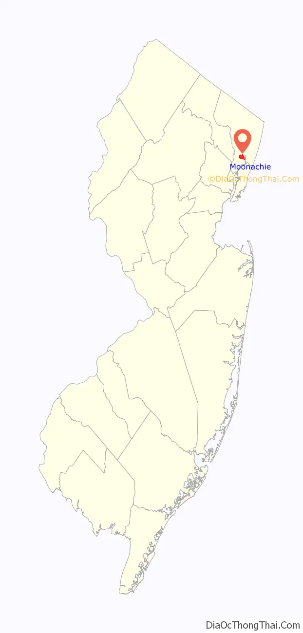
Moonachie Road Map

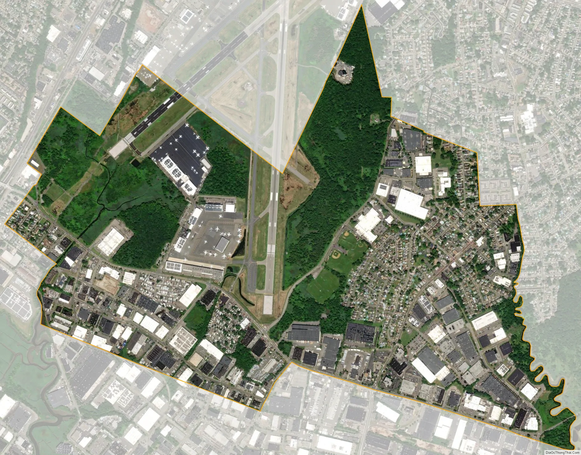
Moonachie city Satellite Map
Geography
According to the United States Census Bureau, the borough had a total area of 1.74 square miles (4.51 km), including 1.73 square miles (4.48 km) of land and 0.01 square miles (0.03 km) of water (0.69%).
The borough is approximately 9 miles (14 km) northwest of downtown Manhattan in New York City. Nearby is East Rutherford, in which can be found the Meadowlands Sports Complex, home to the National Football League’s New York Giants and New York Jets, and a racetrack at which both thoroughbred horse racing and harness racing are conducted. Portions of Teterboro Airport are located in Moonachie.
The borough borders the Bergen County municipalities of Carlstadt, Hasbrouck Heights, Little Ferry, South Hackensack, Teterboro and Wood-Ridge.
See also
Map of New Jersey State and its subdivision: Map of other states:- Alabama
- Alaska
- Arizona
- Arkansas
- California
- Colorado
- Connecticut
- Delaware
- District of Columbia
- Florida
- Georgia
- Hawaii
- Idaho
- Illinois
- Indiana
- Iowa
- Kansas
- Kentucky
- Louisiana
- Maine
- Maryland
- Massachusetts
- Michigan
- Minnesota
- Mississippi
- Missouri
- Montana
- Nebraska
- Nevada
- New Hampshire
- New Jersey
- New Mexico
- New York
- North Carolina
- North Dakota
- Ohio
- Oklahoma
- Oregon
- Pennsylvania
- Rhode Island
- South Carolina
- South Dakota
- Tennessee
- Texas
- Utah
- Vermont
- Virginia
- Washington
- West Virginia
- Wisconsin
- Wyoming


