Wildwood Crest is a borough in Cape May County, in the U.S. state of New Jersey. The borough, and all of Cape May County, is part of the Ocean City metropolitan statistical area, and is part of the Philadelphia–Wilmington–Camden, PA-NJ-DE–MD combined statistical area, also known as the Delaware Valley or Philadelphia metropolitan area. As of the 2020 United States census, the borough’s population was 3,101, a decrease of 169 (−5.2%) from the 2010 census count of 3,270, which in turn reflected a decline of 710 (−17.8%) from the 3,980 counted in the 2000 census.
Wildwood Crest was incorporated as a borough by an act of the New Jersey Legislature on April 6, 1910, from portions of Lower Township. The area of the borough was first developed by Philip Baker in the 1910s as a southern extension to the resort of Wildwood. The borough’s name comes from Wildwood, which in turn was named for the area’s wild flowers.
It is a dry town, where alcohol cannot be sold, affirmed by the results of a referendum held in 1940. Wildwood Crest joins Cape May Point and Ocean City among municipalities in Cape May restricting the sale of alcohol. Adjoining Wildwood allows the sale of alcohol, including at bars on its boardwalk.
The borough was ranked the second-best beach in New Jersey in the 2008 “Top 10 Beaches Contest” sponsored by the New Jersey Marine Sciences Consortium. Wildwood Crest is one of five municipalities in the state that offer free public access to oceanfront beaches monitored by lifeguards, joining Atlantic City, North Wildwood, Wildwood and Upper Township’s Strathmere section.
| Name: | Wildwood Crest borough |
|---|---|
| LSAD Code: | 21 |
| LSAD Description: | borough (suffix) |
| State: | New Jersey |
| County: | Cape May County |
| Incorporated: | April 6, 1910 |
| Elevation: | 3 ft (0.9 m) |
| Total Area: | 1.48 sq mi (3.84 km²) |
| Land Area: | 1.30 sq mi (3.36 km²) |
| Water Area: | 0.18 sq mi (0.48 km²) 12.50% |
| Total Population: | 3,101 |
| Population Density: | 2,388.6/sq mi (922.2/km²) |
| ZIP code: | 08260 |
| Area code: | 609 |
| FIPS code: | 3481200 |
| GNISfeature ID: | 0885445 |
| Website: | www.wildwoodcrest.org |
Online Interactive Map
Click on ![]() to view map in "full screen" mode.
to view map in "full screen" mode.
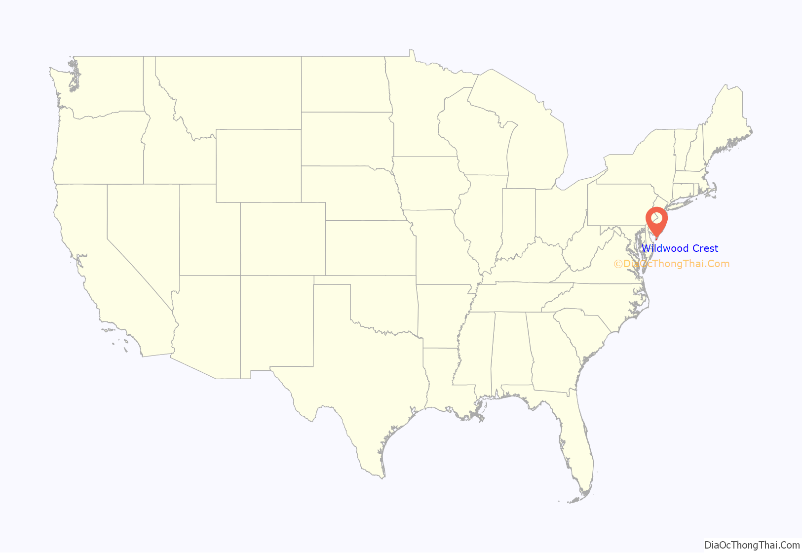
Wildwood Crest location map. Where is Wildwood Crest borough?
History
The motels of Wildwood Crest are characterized by a distinctive “Doo Wop” or Googie style of architecture. Collectively, Wildwood and Wildwood Crest contain the nation’s largest collection of mid-century “Doo Wop” resort architecture.
The term “Doo Wop” was coined by the Mid-Atlantic Center For The Arts in the early 1990s to describe the unique, space-age architectural style that was common in the 1950s and 1960s. Post World War II America was an optimistic, confident, and enthusiastic society. The new age style of architecture evolved into a showcase of colorful, flashy, modernistic architecture that captured the spirit of the times; it incorporated modern, sweeping angles, bright colors, starbursts, boomerang shapes, plastic palm trees, and angular wall and roof styles. “Doo Wop” was a celebration of the architecture, design, music, and pop culture of the 1950s and 1960s. During the 1950s, the economy had grown to unprecedented levels. Americans achieved a level of prosperity they had never known before. In response to this unprecedented growth, hundreds of motels were constructed in Wildwood and Wildwood Crest with the distinct “Doo Wop” style of architecture. The first motel to reflect this style was the Ebb Tide Motel, constructed in 1957, which was designed and built by Will and Lou Morey, who specialized in such designs.
Several “Doo Wop” motels, such as the Caribbean Motel, are registered on the National Register of Historic Places. In recent years, historic “Doo Wop” motels have been demolished to make way for the construction of condominiums, leading to organized efforts to preserve the remaining examples.
Wildwood Crest and its neighboring towns of Wildwood, North Wildwood, and West Wildwood make up “The Wildwoods” resort, a popular vacation destination for those living in all parts of New Jersey as well as the Philadelphia and New York City metropolitan areas. Many vacationers and tourists have come from as far away as, New England and Canada and have made The Wildwoods a vacation hotspot, due to the area’s mild summer climate. Unlike its sister communities of Wildwood and North Wildwood, Wildwood Crest is generally set apart from the all-hours excitement that the resort area is known for. Many vacationers will find some of the quietest and most undisturbed beach space.
In recent years, condominiums have replaced many of the motels the area was known for, such as The Grand, The Ocean Breeze, El Coronado, and The Arcadia. Some restaurants have been torn down and replaced with condominiums, including The Captain’s Table, The Surfside, and Duffenetti’s. These changes in housing have significantly changed the demographics of this area, from being a more family oriented one-vacation-per-summer place (for the middle class) to being a weekend retreat for wealthier families.
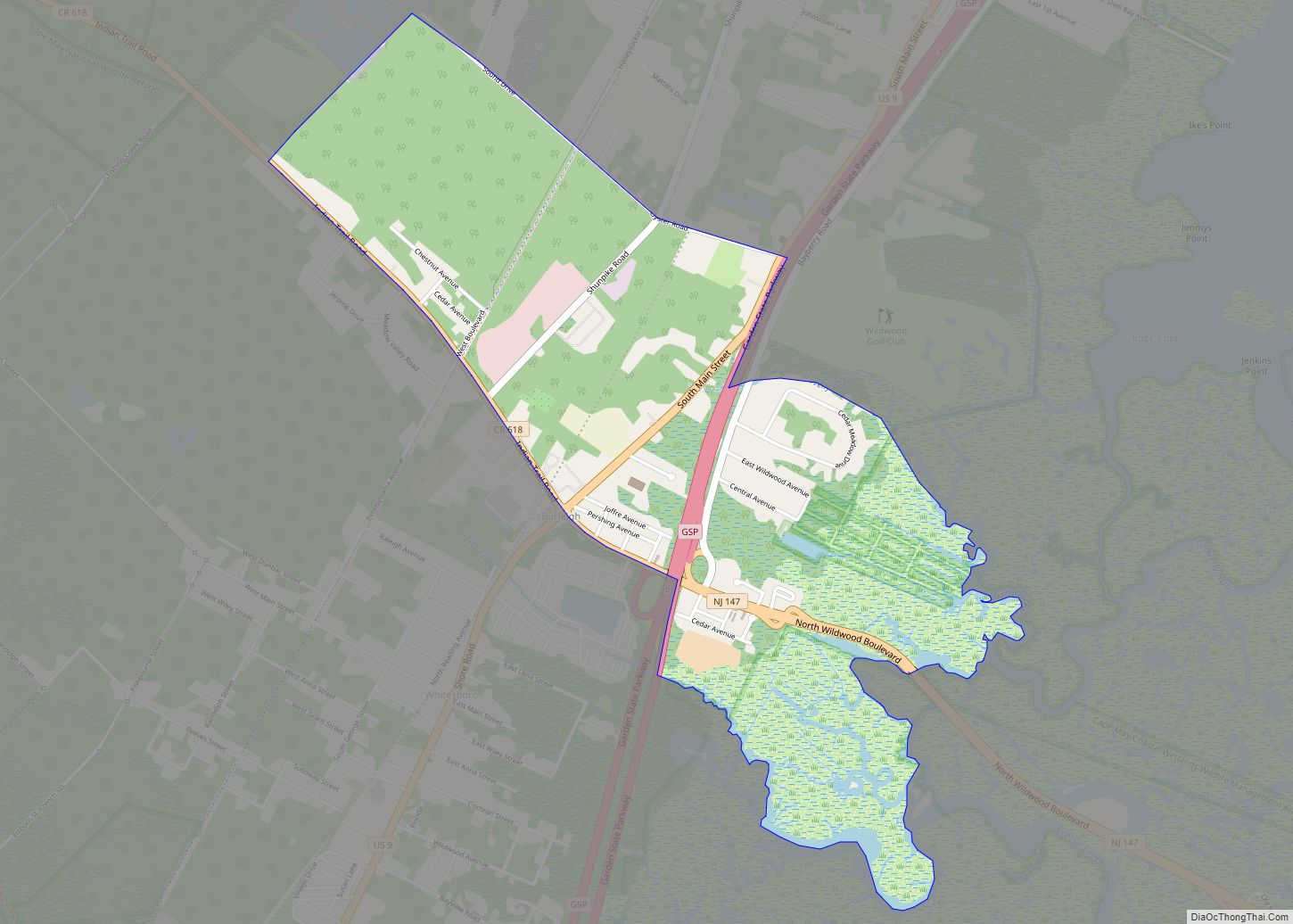
Wildwood Crest Road Map
Wildwood Crest city Satellite Map
Geography
According to the United States Census Bureau, the borough had a total area of 1.48 square miles (3.84 km), including 1.30 square miles (3.36 km) of land and 0.19 square miles (0.48 km) of water (12.50%).
Part of the borough’s beachfront has been closed off for the protection of native birds such as the piping plover. These small birds have this area all to themselves so that their eggs may be protected from beachgoers. There is a nature trail one may take through the dunes to explore this sheltered area of the beach.
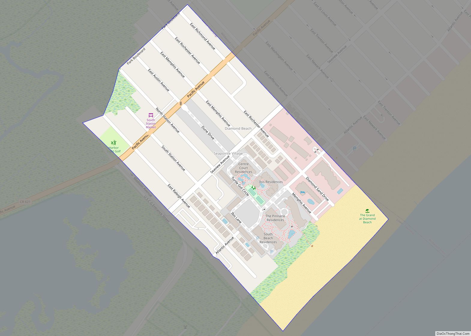
Wildwood Crest borders the Diamond Beach section of Lower Township to the south, the City of Wildwood to the north, and the Atlantic Ocean.
See also
Map of New Jersey State and its subdivision: Map of other states:- Alabama
- Alaska
- Arizona
- Arkansas
- California
- Colorado
- Connecticut
- Delaware
- District of Columbia
- Florida
- Georgia
- Hawaii
- Idaho
- Illinois
- Indiana
- Iowa
- Kansas
- Kentucky
- Louisiana
- Maine
- Maryland
- Massachusetts
- Michigan
- Minnesota
- Mississippi
- Missouri
- Montana
- Nebraska
- Nevada
- New Hampshire
- New Jersey
- New Mexico
- New York
- North Carolina
- North Dakota
- Ohio
- Oklahoma
- Oregon
- Pennsylvania
- Rhode Island
- South Carolina
- South Dakota
- Tennessee
- Texas
- Utah
- Vermont
- Virginia
- Washington
- West Virginia
- Wisconsin
- Wyoming
