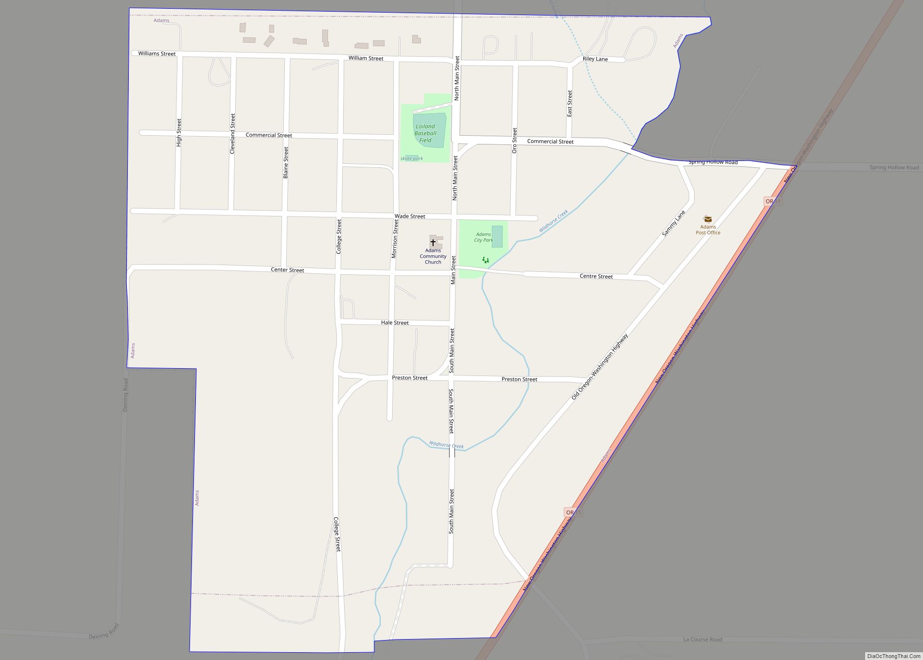
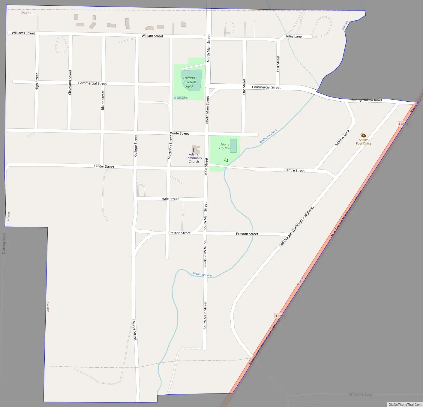
Adams is a city in Umatilla County, Oregon, United States, located about 13 miles (21 km) northeast of Pendleton on Oregon Route 11. The population was 350 at the 2010 census. It is part of the Pendleton–Hermiston Micropolitan Statistical Area.
| Name: | Adams city |
|---|---|
| LSAD Code: | 25 |
| LSAD Description: | city (suffix) |
| State: | Oregon |
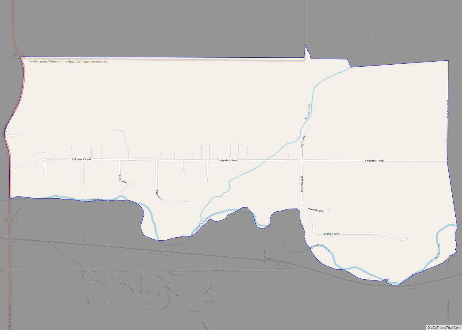
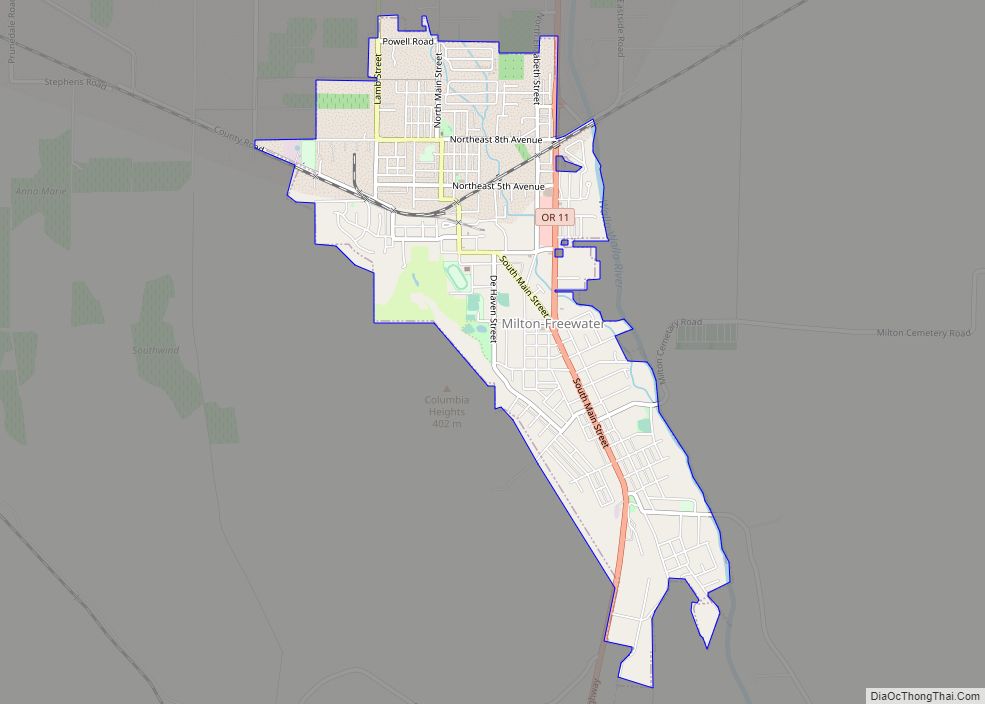
| County: | Umatilla County |
| Incorporated: | 1893 |
| Elevation: | 1,526 ft (465 m) |
| Total Area: | 0.35 sq mi (0.92 km²) |
| Land Area: | 0.35 sq mi (0.92 km²) |
| Water Area: | 0.00 sq mi (0.00 km²) |
| Total Population: | 389 |
| Population Density: | 1,095.77/sq mi (422.82/km²) |
| ZIP code: | 97810 |
| FIPS code: | 4100350 |
| GNISfeature ID: | 1116762 |
| Website: | www.cityofadamsoregon.com |
Online Interactive Map
Click on ![]() to view map in "full screen" mode.
to view map in "full screen" mode.
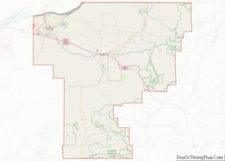
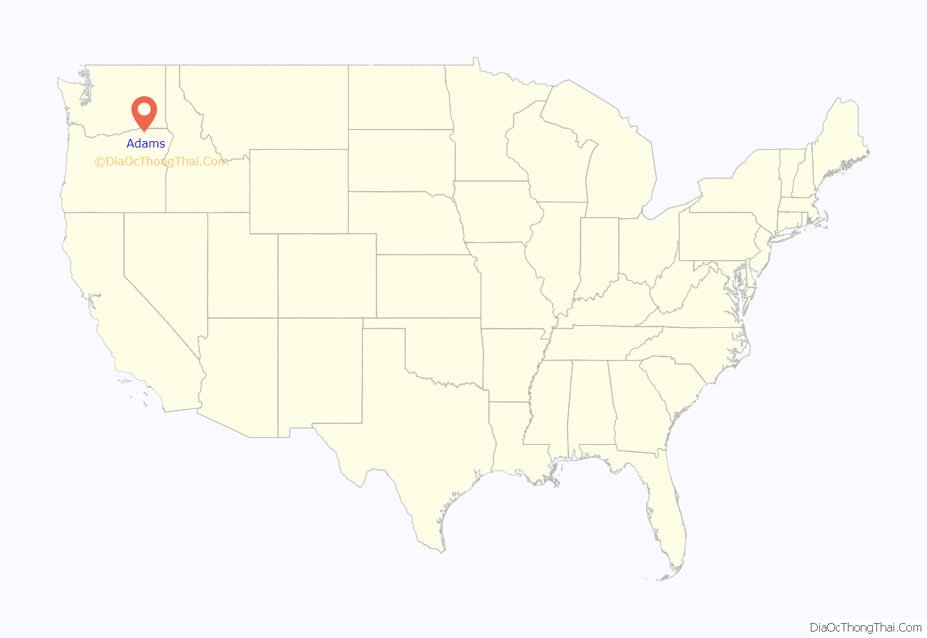
Adams location map. Where is Adams city?

History
Adams was named for a local homesteader, John F. Adams. Adams post office was established in 1883. The city was incorporated by the Oregon Legislative Assembly on February 10, 1893.
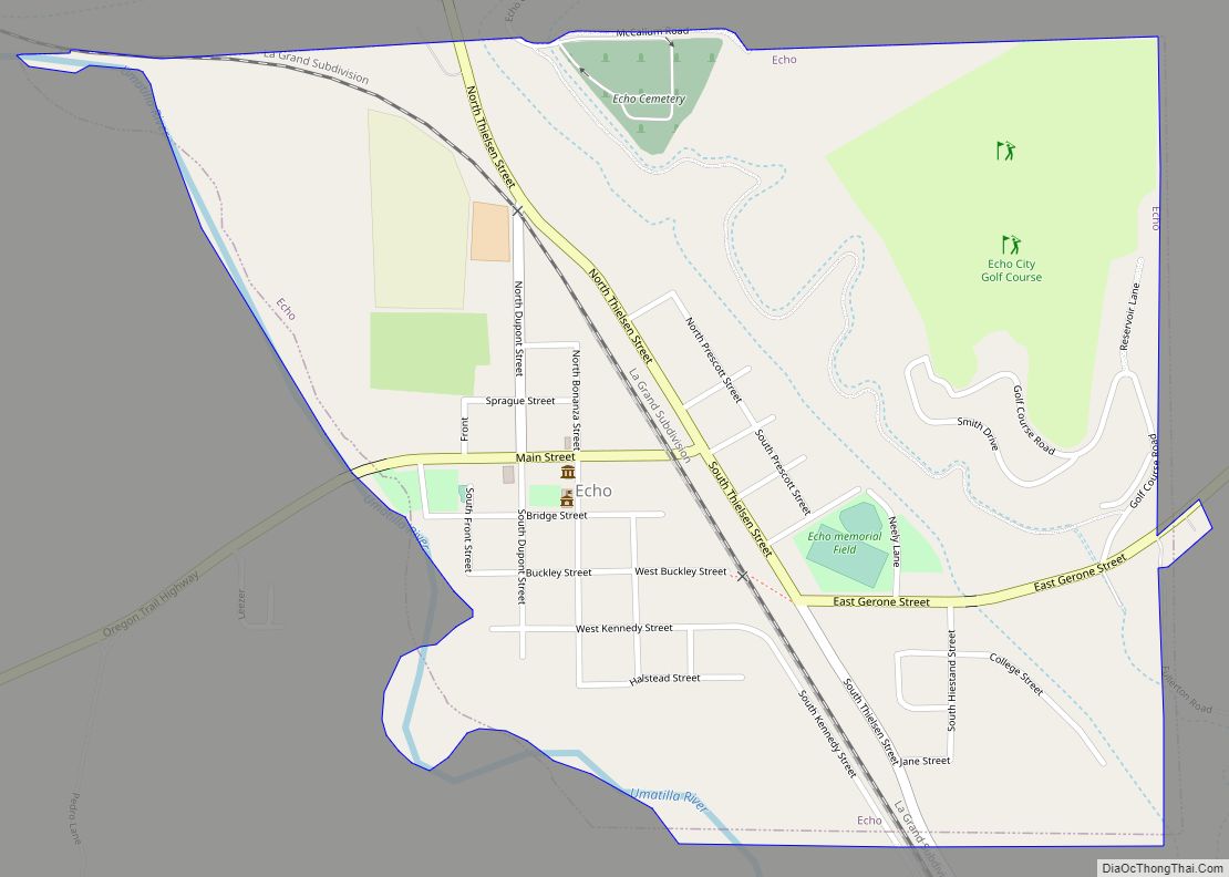
Adams Road Map
Adams city Satellite Map

Geography
According to the United States Census Bureau, the city has a total area of 0.36 square miles (0.93 km), all of it land.
Climate
According to the Köppen Climate Classification system, Adams has a warm-summer Mediterranean climate, abbreviated “Csa” on climate maps.
See also
Map of Oregon State and its subdivision: Map of other states:- Alabama
- Alaska
- Arizona
- Arkansas
- California
- Colorado
- Connecticut
- Delaware
- District of Columbia
- Florida
- Georgia
- Hawaii
- Idaho
- Illinois
- Indiana
- Iowa
- Kansas
- Kentucky
- Louisiana
- Maine
- Maryland
- Massachusetts
- Michigan
- Minnesota
- Mississippi
- Missouri
- Montana
- Nebraska
- Nevada
- New Hampshire
- New Jersey
- New Mexico
- New York
- North Carolina
- North Dakota
- Ohio
- Oklahoma
- Oregon
- Pennsylvania
- Rhode Island
- South Carolina
- South Dakota
- Tennessee
- Texas
- Utah
- Vermont
- Virginia
- Washington
- West Virginia
- Wisconsin
- Wyoming