Pendleton is a city and the county seat of Umatilla County, Oregon. The population was 17,107 at the time of the 2020 census, which includes approximately 1,600 people who are incarcerated at Eastern Oregon Correctional Institution.
Pendleton is the smaller of the two principal cities of the Hermiston–Pendleton Micropolitan Statistical Area. This micropolitan area covers Morrow and Umatilla counties and had a combined population of 92,261 at the 2020 census.
| Name: | Pendleton city |
|---|---|
| LSAD Code: | 25 |
| LSAD Description: | city (suffix) |
| State: | Oregon |
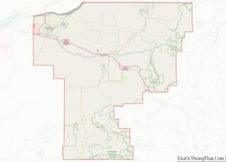
| County: | Umatilla County |
| Incorporated: | 1880 |
| Elevation: | 1,200 ft (400 m) |
| Total Area: | 11.51 sq mi (29.81 km²) |
| Land Area: | 11.51 sq mi (29.81 km²) |
| Water Area: | 0.00 sq mi (0.00 km²) |
| Total Population: | 17,107 |
| Population Density: | 1,486.27/sq mi (573.85/km²) |
| ZIP code: | 97801 |
| Area code: | 458 and 541 |
| FIPS code: | 4157150 |
| GNISfeature ID: | 1125283 |
| Website: | www.pendleton.or.us |
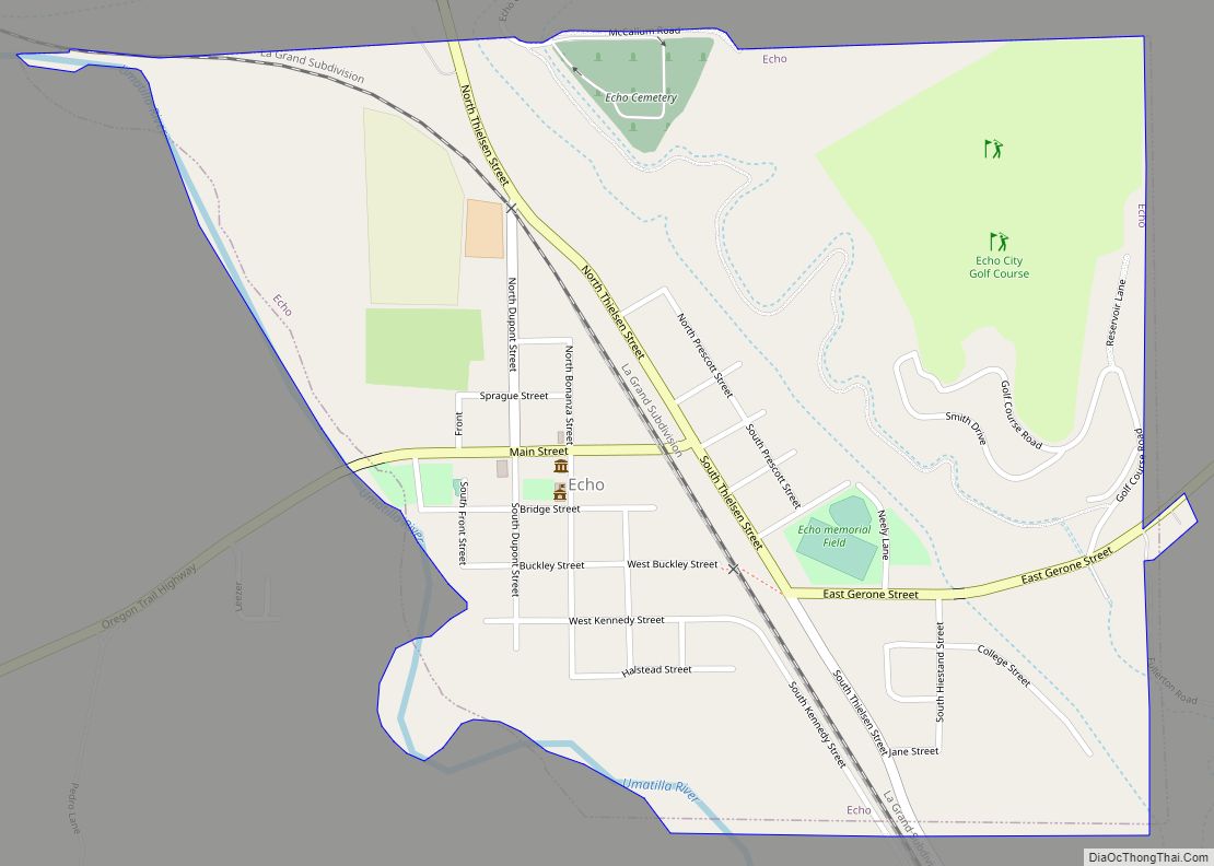
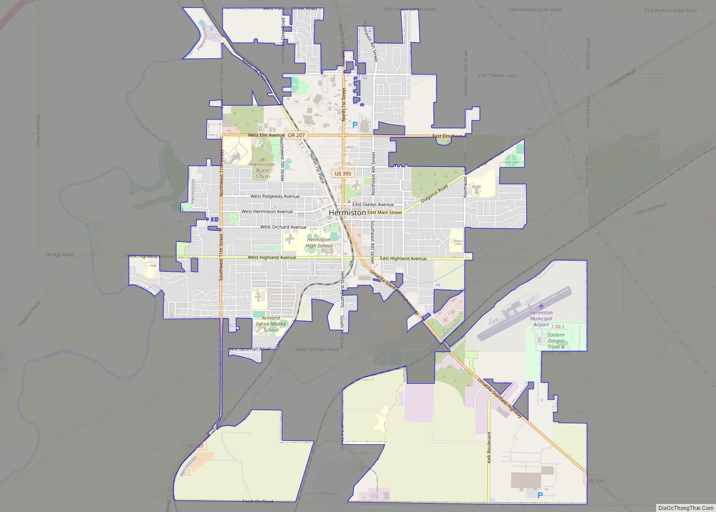
Online Interactive Map
Click on ![]() to view map in "full screen" mode.
to view map in "full screen" mode.
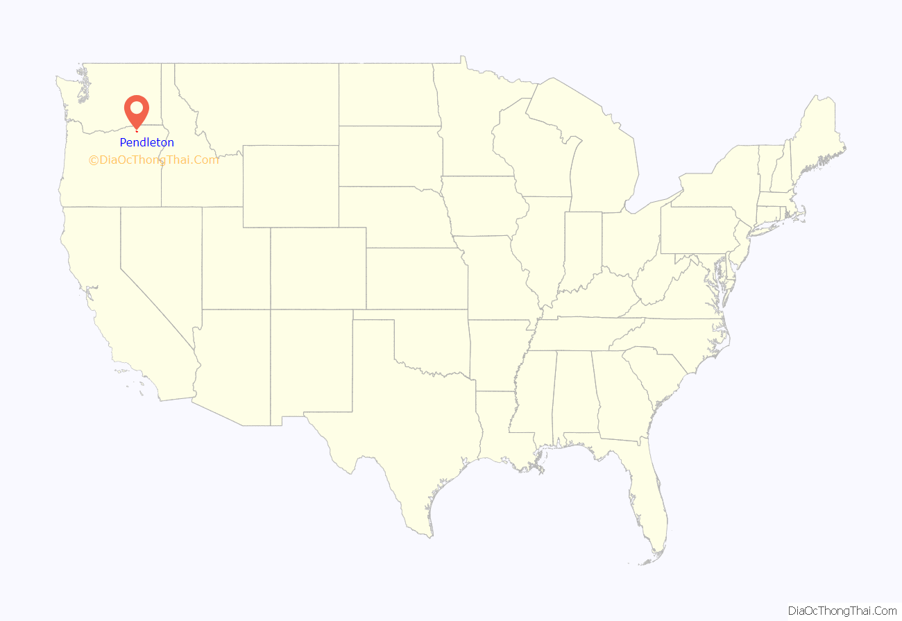
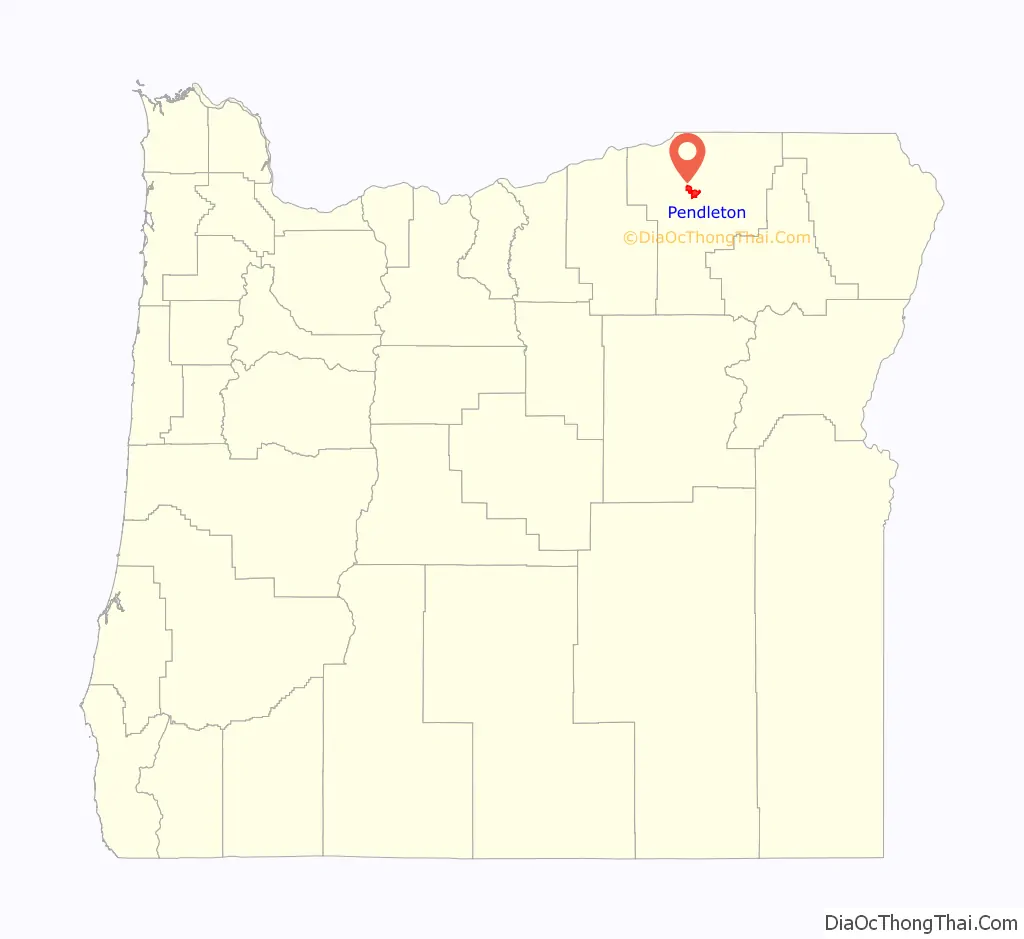
Pendleton location map. Where is Pendleton city?
History
A European-American commercial center began to develop here in 1851, when Dr. William C. McKay established a trading post at the mouth of McKay Creek. A United States Post Office named Marshall (for the owner, and sometime gambler, of another local store) was established April 21, 1865, and later renamed Pendleton, after politician and diplomat George H. Pendleton (1825–1889), who served as a U.S. Representative and Senator from Ohio. The city was incorporated by the Oregon Legislative Assembly on October 25, 1880.
By 1900, Pendleton had a population of 4,406 and was the fourth-largest city in Oregon. The Pendleton Woolen Mills and Pendleton Round Up became features of the city captured in early paintings by Walter S. Bowman. Like many cities in Eastern Oregon, where thousands of Chinese immigrant workers built the transcontinental railroad, it had a flourishing Chinatown that developed as the workers settled here. The sector is supposed to have been underlain by a network of tunnels, which are now a tourist attraction. The authenticity as a Chinese tunnel system has been questioned.
The town is the cultural center of Eastern Oregon. Pendleton’s “Old town” is listed as a Historic District on the National Register of Historic Places.
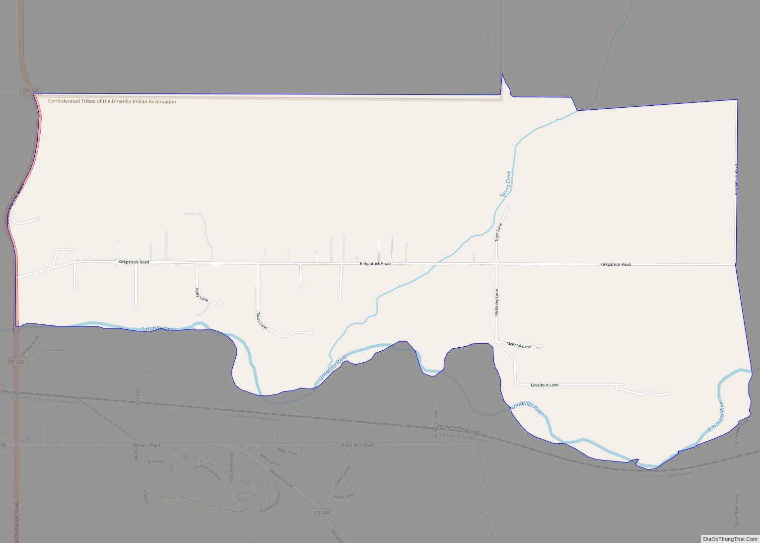
The Confederated Tribes of the Umatilla Indian Reservation (CTUIR) have their property nearby. They have established the Wildhorse Resort & Casino and golf course on the reservation to generate revenue for development and welfare. They have also built the Tamástslikt Cultural Institute, for education and interpretation of their cultures.
Pendleton Road Map

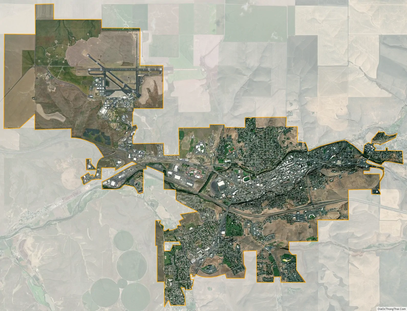
Pendleton city Satellite Map
Geography
According to the United States Census Bureau, the city has a total area of 10.52 square miles (27.25 km), all of it land.
The city was built on both sides of the Umatilla River, which has periodically flooded and caused some damage. In the beginning, the river was vital as a transportation and trading route for settlers, as well as a water and power source. It connected the city to the Columbia River.
Pendleton has a semi-arid climate (Köppen BSk) with short, cool winters and hot summers. Pendleton had the highest temperature recorded in Oregon at 119 °F (48 °C) on August 10, 1898, which was later proven to be unreliable. The highest reliable temperature recorded in Pendleton was 117 °F (47 °C) on June 29, 2021.
See also
Map of Oregon State and its subdivision: Map of other states:- Alabama
- Alaska
- Arizona
- Arkansas
- California
- Colorado
- Connecticut
- Delaware
- District of Columbia
- Florida
- Georgia
- Hawaii
- Idaho
- Illinois
- Indiana
- Iowa
- Kansas
- Kentucky
- Louisiana
- Maine
- Maryland
- Massachusetts
- Michigan
- Minnesota
- Mississippi
- Missouri
- Montana
- Nebraska
- Nevada
- New Hampshire
- New Jersey
- New Mexico
- New York
- North Carolina
- North Dakota
- Ohio
- Oklahoma
- Oregon
- Pennsylvania
- Rhode Island
- South Carolina
- South Dakota
- Tennessee
- Texas
- Utah
- Vermont
- Virginia
- Washington
- West Virginia
- Wisconsin
- Wyoming