Echo is a city in Umatilla County, Oregon, United States. The population was 699 at the 2010 census. It is part of the Pendleton–Hermiston Micropolitan Statistical Area.
| Name: | Echo city |
|---|---|
| LSAD Code: | 25 |
| LSAD Description: | city (suffix) |
| State: | Oregon |
| County: | Umatilla County |
| Incorporated: | 1904 |
| Elevation: | 635 ft (194 m) |
| Total Area: | 0.58 sq mi (1.50 km²) |
| Land Area: | 0.58 sq mi (1.50 km²) |
| Water Area: | 0.00 sq mi (0.00 km²) |
| Total Population: | 632 |
| Population Density: | 1,093.43/sq mi (422.20/km²) |
| ZIP code: | 97826 |
| Area code: | 458 and 541 |
| FIPS code: | 4122200 |
| GNISfeature ID: | 1120378 |
| Website: | www.echo-oregon.com |
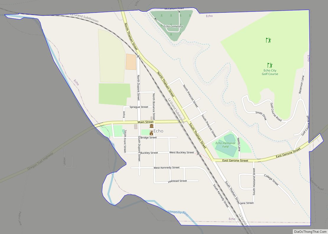
Online Interactive Map
Click on ![]() to view map in "full screen" mode.
to view map in "full screen" mode.
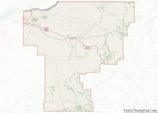
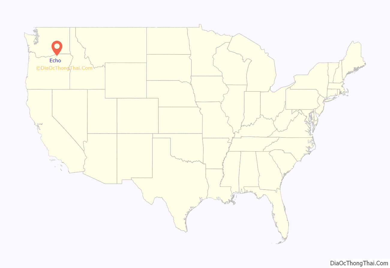
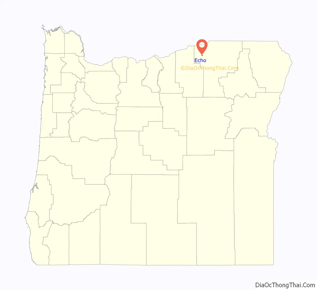
Echo location map. Where is Echo city?
History
The original Oregon Trail passed just south of Echo. When the Columbia Plateau Route opened in 1847, it passed directly through Echo, crossing the Umatilla River. This eventually became the primary route of the Oregon Trail. Frequently pioneers would stay in Lower Crossing Camp, also located in Echo (the Upper Crossing being at Pendleton). In the 1860s, settlers began moving into the area, and built a ferry crossing the Umatilla River at Echo. The city of Echo is named after Echo Koontz, daughter of Cynthia and J. H. Koontz. Agriculture was the first draw, with alfalfa and corn being the main crops. A town was platted by 1880, and the Oregon Railroad and Navigation Company built a railroad through the Echo by 1883, which made the town a shipping point for wool, cattle and sheep during the early 1900s. Echo was incorporated in 1904. On December 22, 1927, William Edward Hickman, the murderer of Marion Parker in Los Angeles on December 17, was arrested by police near the town. The place of Hickman’s arrest was commemorated by a billboard.
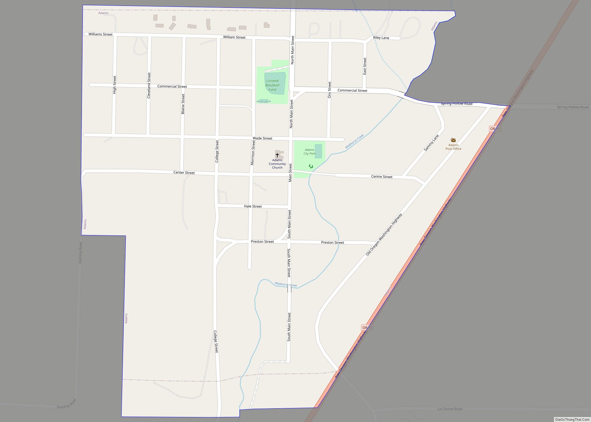
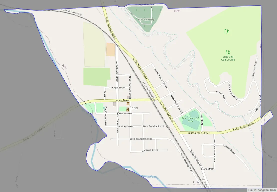
Echo Road Map
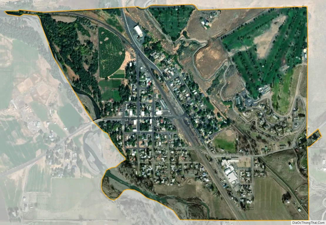
Echo city Satellite Map
Geography
Echo is 8 miles (13 km) south of Hermiston and 20 miles (32 km) west of Pendleton in northeastern Oregon. It lies along the Umatilla River about 1 mile (2 km) south of Interstate 84 and U.S. Route 395.
According to the United States Census Bureau, the city has a total area of 0.58 square miles (1.50 km), all of it land.
Climate
According to the Köppen Climate Classification system, Echo has a semi-arid climate, abbreviated “BSk” on climate maps.
See also
Map of Oregon State and its subdivision: Map of other states:- Alabama
- Alaska
- Arizona
- Arkansas
- California
- Colorado
- Connecticut
- Delaware
- District of Columbia
- Florida
- Georgia
- Hawaii
- Idaho
- Illinois
- Indiana
- Iowa
- Kansas
- Kentucky
- Louisiana
- Maine
- Maryland
- Massachusetts
- Michigan
- Minnesota
- Mississippi
- Missouri
- Montana
- Nebraska
- Nevada
- New Hampshire
- New Jersey
- New Mexico
- New York
- North Carolina
- North Dakota
- Ohio
- Oklahoma
- Oregon
- Pennsylvania
- Rhode Island
- South Carolina
- South Dakota
- Tennessee
- Texas
- Utah
- Vermont
- Virginia
- Washington
- West Virginia
- Wisconsin
- Wyoming