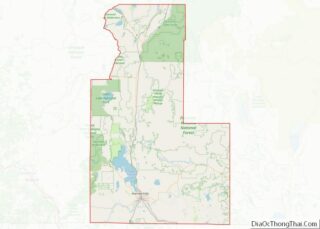
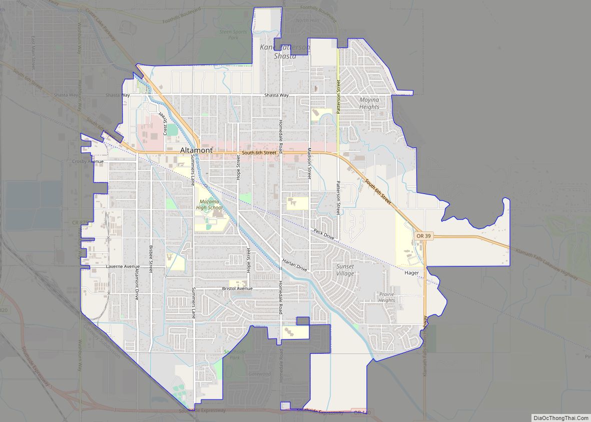
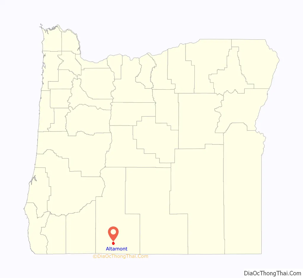
Altamont is a census-designated place (CDP) and unincorporated community in Klamath County, Oregon, United States, southeast of Klamath Falls. As of the 2010 Census, the population was 19,257. All mailing addresses in Altamont are Klamath Falls addresses, although Altamont is outside of the city limits of Klamath Falls.
| Name: | Altamont CDP |
|---|---|
| LSAD Code: | 57 |
| LSAD Description: | CDP (suffix) |
| State: | Oregon |
| County: | Klamath County |
| Elevation: | 4,144 ft (1,263 m) |
| Total Area: | 8.08 sq mi (20.93 km²) |
| Land Area: | 8.08 sq mi (20.93 km²) |
| Water Area: | 0.00 sq mi (0.00 km²) |
| Total Population: | 20,233 |
| Population Density: | 2,503.15/sq mi (966.52/km²) |
| FIPS code: | 4101850 |
| GNISfeature ID: | 1116894 |
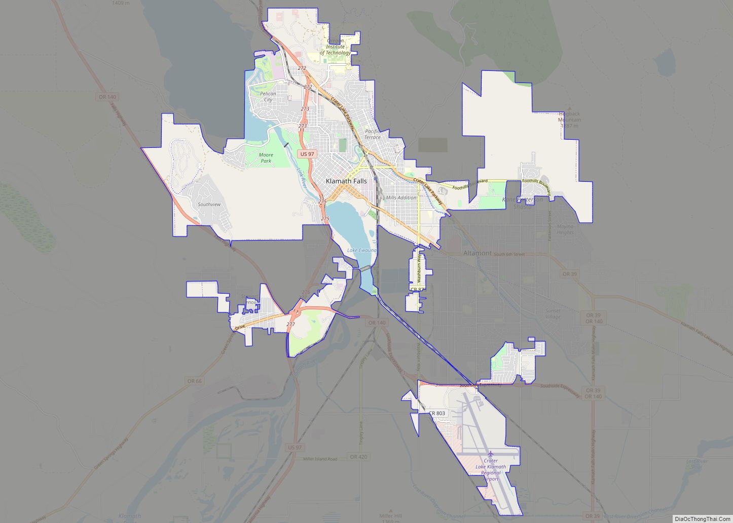
Online Interactive Map
Click on ![]() to view map in "full screen" mode.
to view map in "full screen" mode.
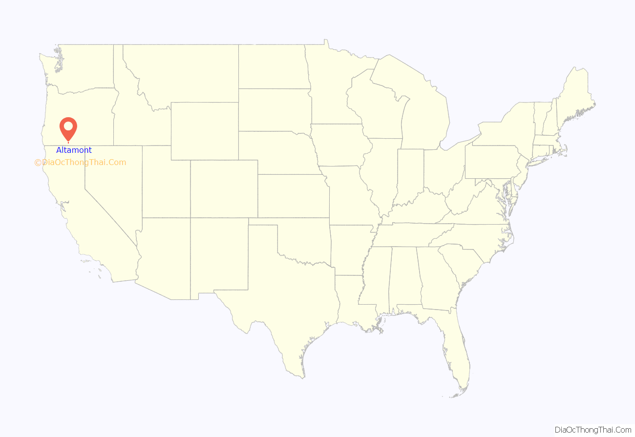
Altamont location map. Where is Altamont CDP?
History
Altamont may have been named after a locally famous trotting horse named Altamont, by a prominent local horseman, Jay Beach. An Altamont post office was in operation from 1895 to 1902.
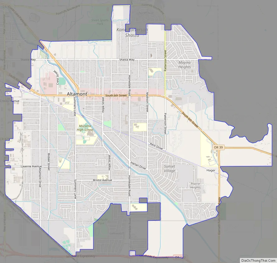
Altamont Road Map
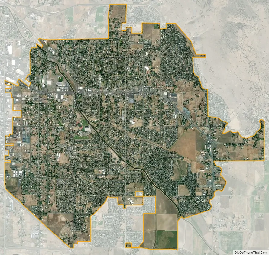
Altamont city Satellite Map
Geography
Altamont is located in southern Klamath County at 4,144 feet (1,263 m) above sea level. It is bordered to the north and west by the city of Klamath Falls, the county seat. Oregon Route 39 passes through the center of the community as South 6th Street and the Crater Lake Parkway, while Oregon Route 140 (Southside Expressway) runs along the southern edge of the community. OR 39 leads northwest into Klamath Falls and southeast 21 miles (34 km) to the California border at Hatfield, while OR 140 leads east 93 miles (150 km) to Lakeview and west 72 miles (116 km) to White City near Medford.
According to the United States Census Bureau, the Altamont CDP has a total area of 8.1 square miles (21.0 km), all land.
See also
Map of Oregon State and its subdivision: Map of other states:- Alabama
- Alaska
- Arizona
- Arkansas
- California
- Colorado
- Connecticut
- Delaware
- District of Columbia
- Florida
- Georgia
- Hawaii
- Idaho
- Illinois
- Indiana
- Iowa
- Kansas
- Kentucky
- Louisiana
- Maine
- Maryland
- Massachusetts
- Michigan
- Minnesota
- Mississippi
- Missouri
- Montana
- Nebraska
- Nevada
- New Hampshire
- New Jersey
- New Mexico
- New York
- North Carolina
- North Dakota
- Ohio
- Oklahoma
- Oregon
- Pennsylvania
- Rhode Island
- South Carolina
- South Dakota
- Tennessee
- Texas
- Utah
- Vermont
- Virginia
- Washington
- West Virginia
- Wisconsin
- Wyoming