Athena is a city in Umatilla County, Oregon, United States. The population was 1,126 at the 2010 census. It is part of the Hermiston-Pendleton Micropolitan Statistical Area.
| Name: | Athena city |
|---|---|
| LSAD Code: | 25 |
| LSAD Description: | city (suffix) |
| State: | Oregon |
| County: | Umatilla County |
| Incorporated: | 1904 |
| Elevation: | 1,710 ft (520 m) |
| Total Area: | 0.55 sq mi (1.42 km²) |
| Land Area: | 0.55 sq mi (1.42 km²) |
| Water Area: | 0.00 sq mi (0.00 km²) |
| Total Population: | 1,209 |
| Population Density: | 2,202.19/sq mi (850.92/km²) |
| ZIP code: | 97813 |
| Area code: | 541 |
| FIPS code: | 4103200 |
| GNISfeature ID: | 1167693 |
| Website: | cityofathena.com |
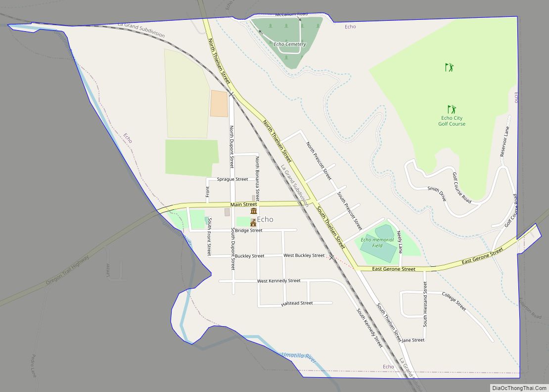
Online Interactive Map
Click on ![]() to view map in "full screen" mode.
to view map in "full screen" mode.
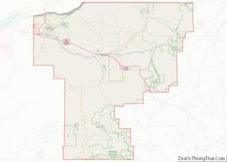
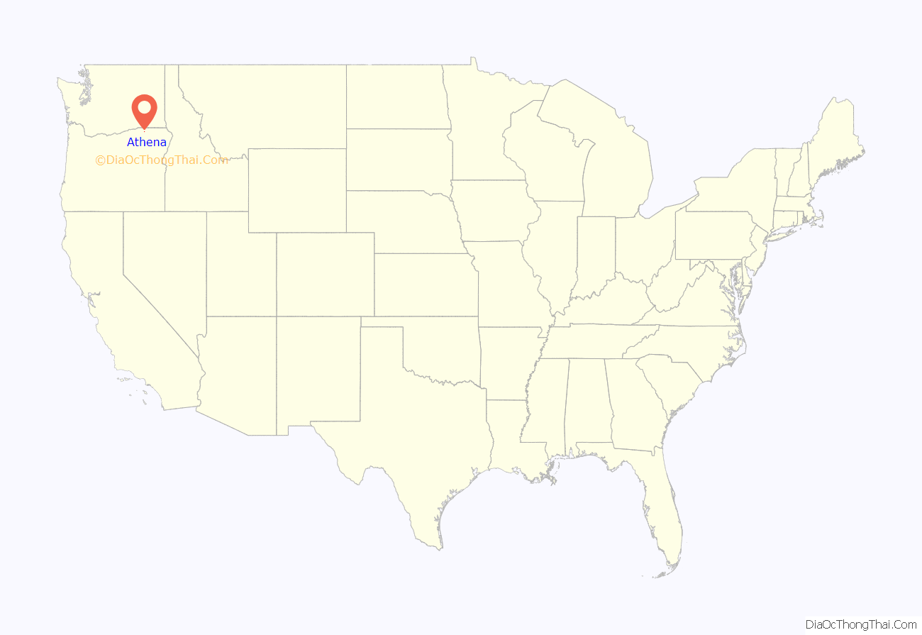
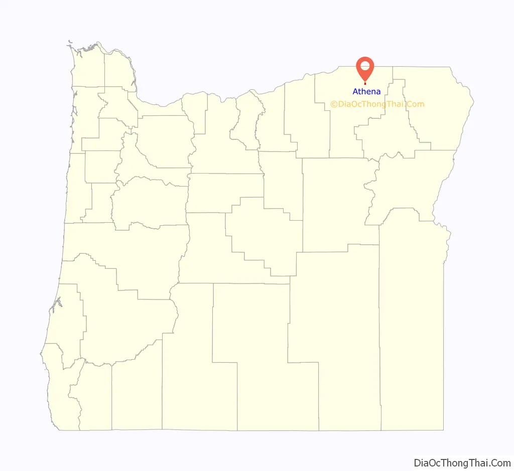
Athena location map. Where is Athena city?
History
Athena, about halfway between Pendleton, Oregon, and Walla Walla, Washington, was originally called Centerville. However, confusion about the name sometimes arose because Oregon had another Centerville, in Washington County, and the state of Washington had a Centerville, in Klickitat County. In 1889, local government officials asked the Centerville school principal, D. W. Jarvis, to recommend a different name. He chose Athena after the Greek goddess, and they agreed.
Centerville got its first post office on October 11, 1878. The first postmaster was William T. Cook. The post office name was changed to Athena on May 16, 1889.
Nineteenth-century settlers of Scottish descent brought to Athena an interest in the customs and music of Scotland. Before World War I, Athena had a Caledonian Society that held an annual picnic featuring Scottish dancing and bagpipes. Weston-McEwen High School in Athena revived the tradition in the 1950s when it organized a Scots dance group and a pipe band. The band has since performed at many venues in the United States and has traveled to Scotland and England to play.
Athena was also a filming location in the 1930 F.W. Murnau film “City Girl” starring Charles Farrell and Mary Duncan.
The city of Athena was born on Scottish heritage and wants to keep the history and culture alive in the small rural town. Every July the city hosts the Caledonian games. This event hosts food venues, picnic, and a wide variety of games that are common in Scottish heritage. The event holds “Scottish heritage and athletes competing in events based on historic farm skills.”
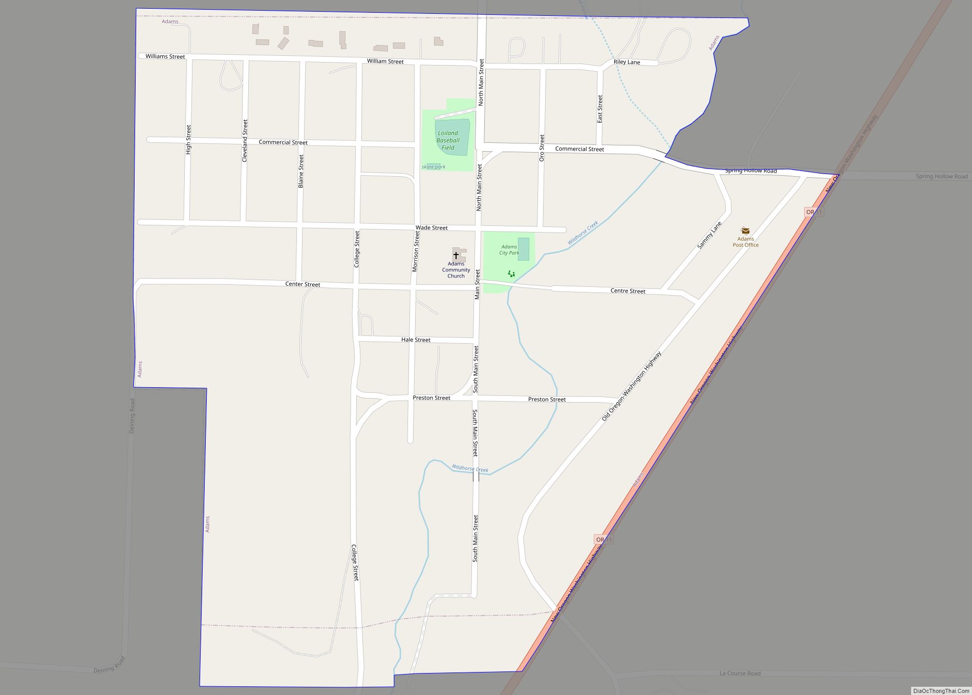
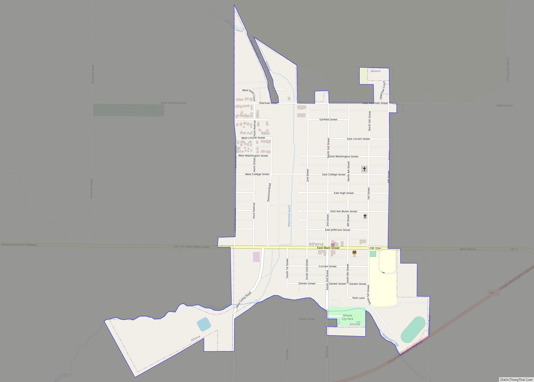
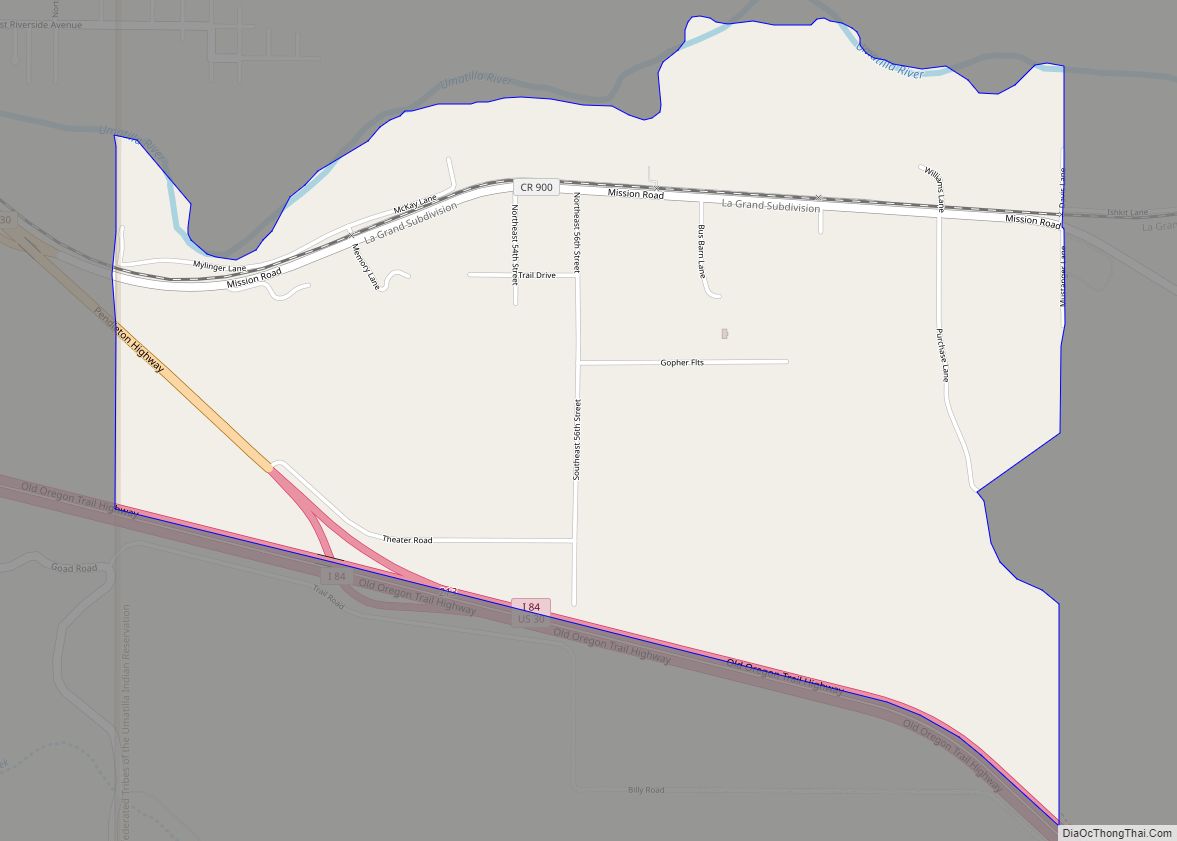
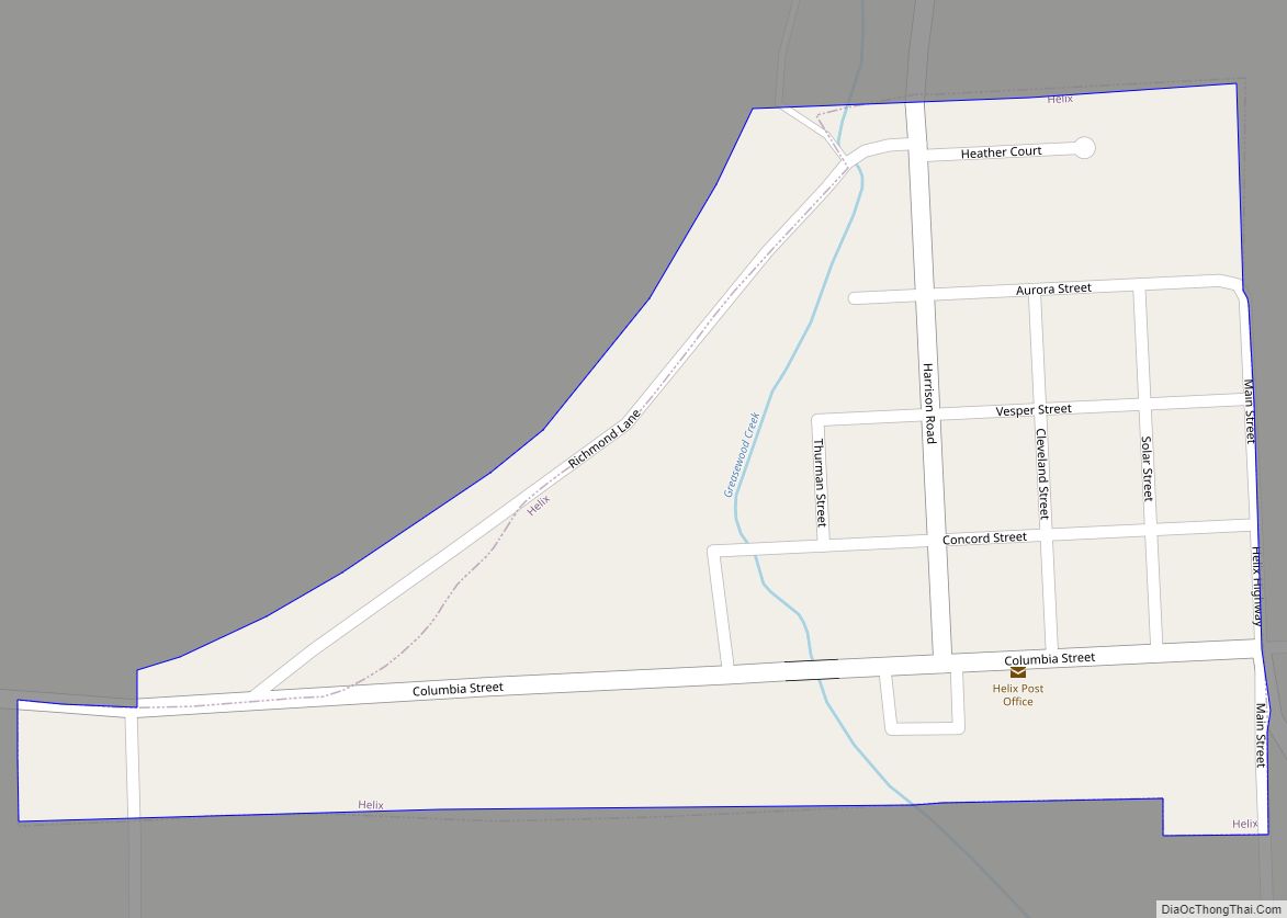
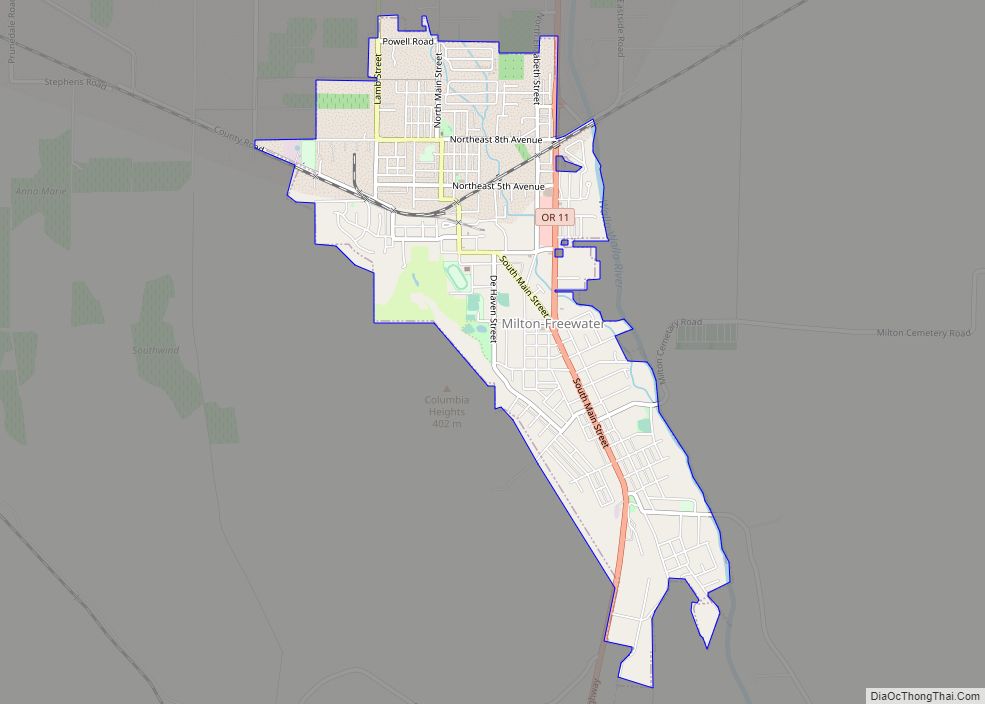
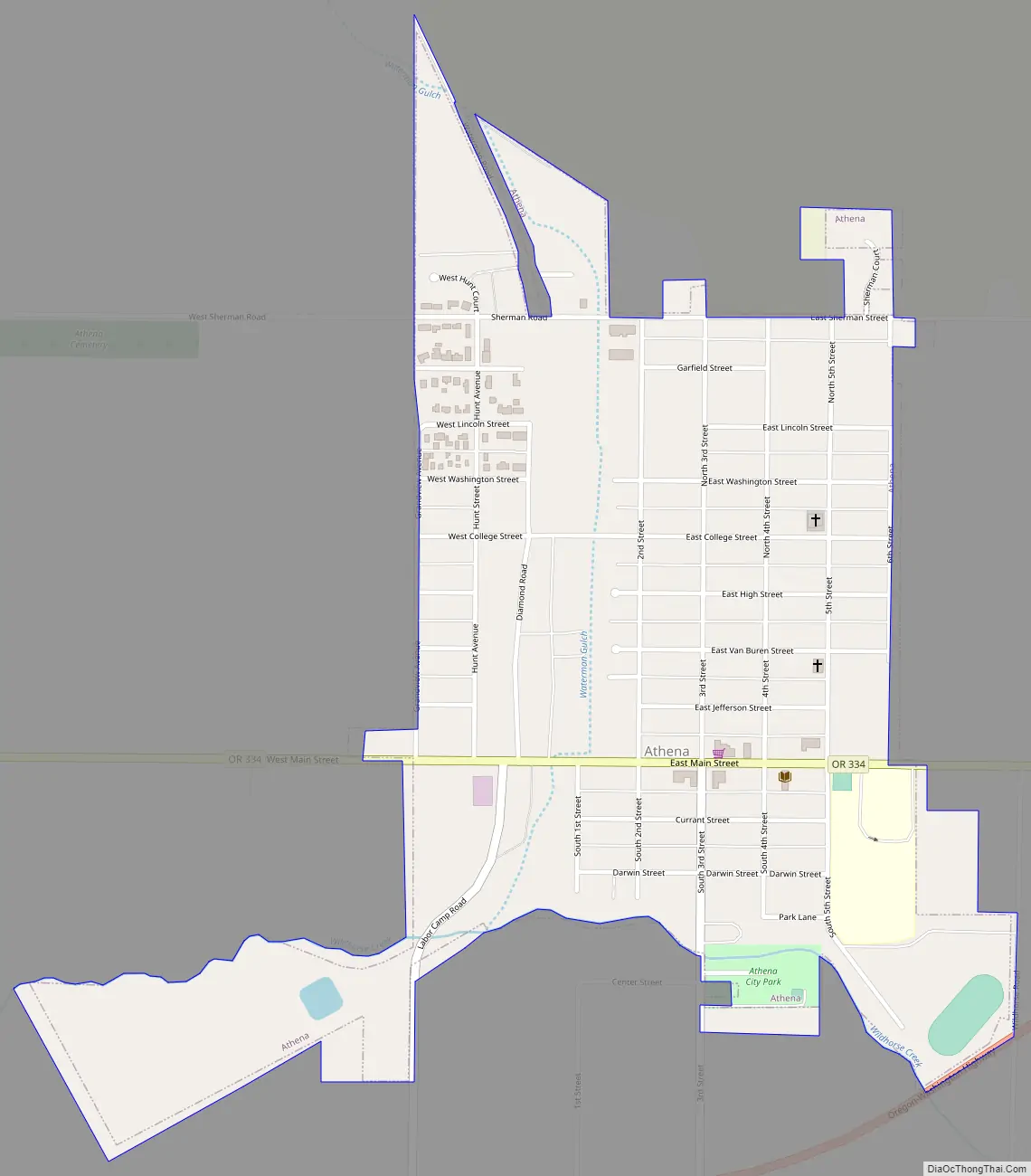
Athena Road Map
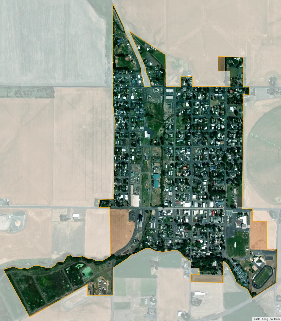
Athena city Satellite Map
Geography
According to the United States Census Bureau, the city has a total area of 0.57 square miles (1.48 km), all of it land.
Climate
According to the Köppen Climate Classification system, Athena has a warm-summer Mediterranean climate, abbreviated “Csa” on climate maps.
See also
Map of Oregon State and its subdivision: Map of other states:- Alabama
- Alaska
- Arizona
- Arkansas
- California
- Colorado
- Connecticut
- Delaware
- District of Columbia
- Florida
- Georgia
- Hawaii
- Idaho
- Illinois
- Indiana
- Iowa
- Kansas
- Kentucky
- Louisiana
- Maine
- Maryland
- Massachusetts
- Michigan
- Minnesota
- Mississippi
- Missouri
- Montana
- Nebraska
- Nevada
- New Hampshire
- New Jersey
- New Mexico
- New York
- North Carolina
- North Dakota
- Ohio
- Oklahoma
- Oregon
- Pennsylvania
- Rhode Island
- South Carolina
- South Dakota
- Tennessee
- Texas
- Utah
- Vermont
- Virginia
- Washington
- West Virginia
- Wisconsin
- Wyoming