Cascade Locks is a city in Hood River County, Oregon, United States. The city got its name from a set of locks built to improve navigation past the Cascades Rapids of the Columbia River. The U.S. federal government approved the plan for the locks in 1875, construction began in 1878, and the locks were completed on November 5, 1896. The locks were subsequently submerged in 1938, replaced by Bonneville Lock and Dam, although the city did not lose land from the expansion of Lake Bonneville behind the dam some 4 miles (6 km) downstream of the city. The city population was 1,144 at the 2010 census.
Cascade Locks is just upstream from the Bridge of the Gods, a toll bridge that spans the Columbia River. It is the only bridge across the Columbia between Portland and Hood River. Cascade Locks is a few miles upstream of Eagle Creek Gorge, a popular scenic area that doubles as an alternate route for the Pacific Crest Trail. Cascade Locks is used frequently by hikers along the Pacific Crest Trail (PCT) to cross the Columbia River. Cascade Locks is the lowest point along the trail, which runs from the Mexico–US border in California to the Canada–US border in Washington, and the largest city directly on the trail.
Since 1999 the Confederated Tribes of Warm Springs have been pursuing an off-reservation casino to be sited in Cascade Locks. Since 2008 city officials have been pursuing an arrangement that would allow them to trade city well water for state-owned spring water and to sell it to Nestlé for bottling. In May 2016, Hood River County voters voted over 68% in favor to stop the project permanently.
| Name: | Cascade Locks city |
|---|---|
| LSAD Code: | 25 |
| LSAD Description: | city (suffix) |
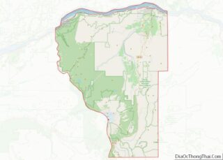
| State: | Oregon |
| County: | Hood River County |
| Incorporated: | 1935 |
| Elevation: | 170 ft (50 m) |
| Total Area: | 3.03 sq mi (7.85 km²) |
| Land Area: | 2.08 sq mi (5.40 km²) |
| Water Area: | 0.95 sq mi (2.46 km²) |
| Total Population: | 1,427 |
| Population Density: | 661.39/sq mi (255.42/km²) |
| ZIP code: | 97014 |
| Area code: | 541 and 458 |
| FIPS code: | 4111600 |
| GNISfeature ID: | 1139422 |
| Website: | cascade-locks.or.us |
Online Interactive Map
Click on ![]() to view map in "full screen" mode.
to view map in "full screen" mode.
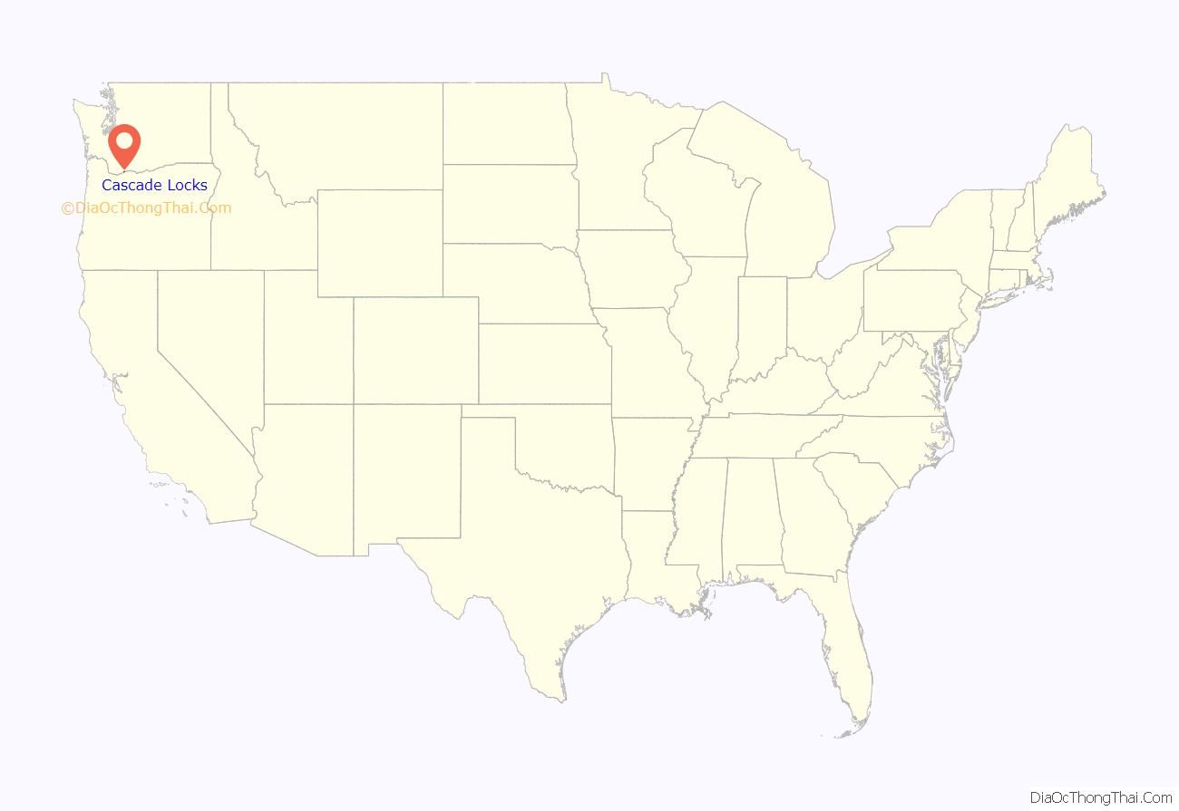
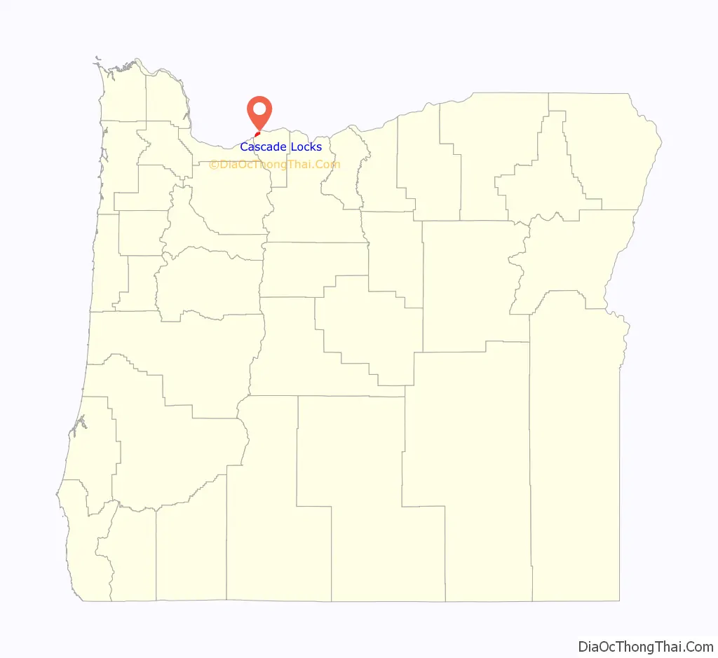
Cascade Locks location map. Where is Cascade Locks city?
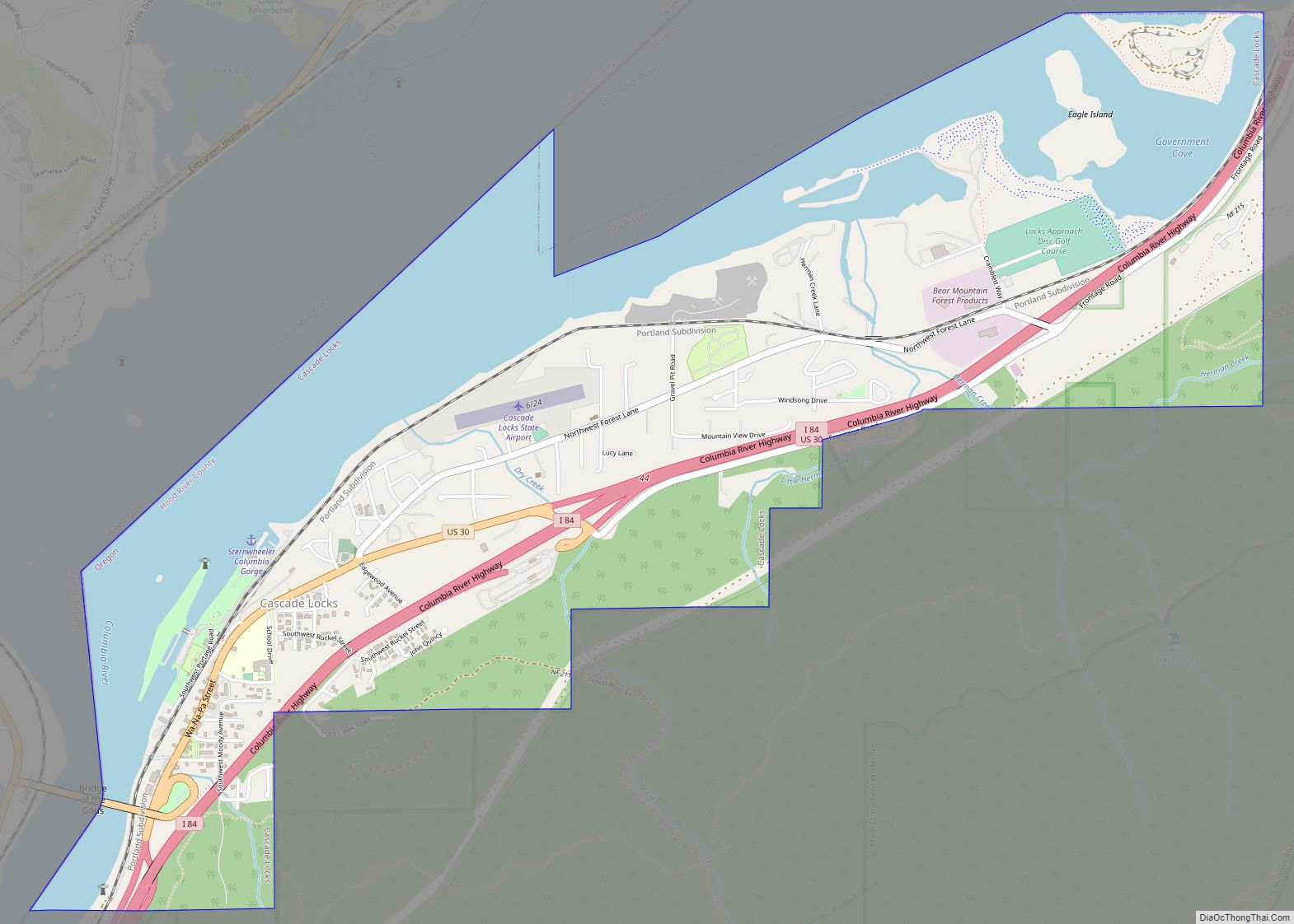
Cascade Locks Road Map

Cascade Locks city Satellite Map
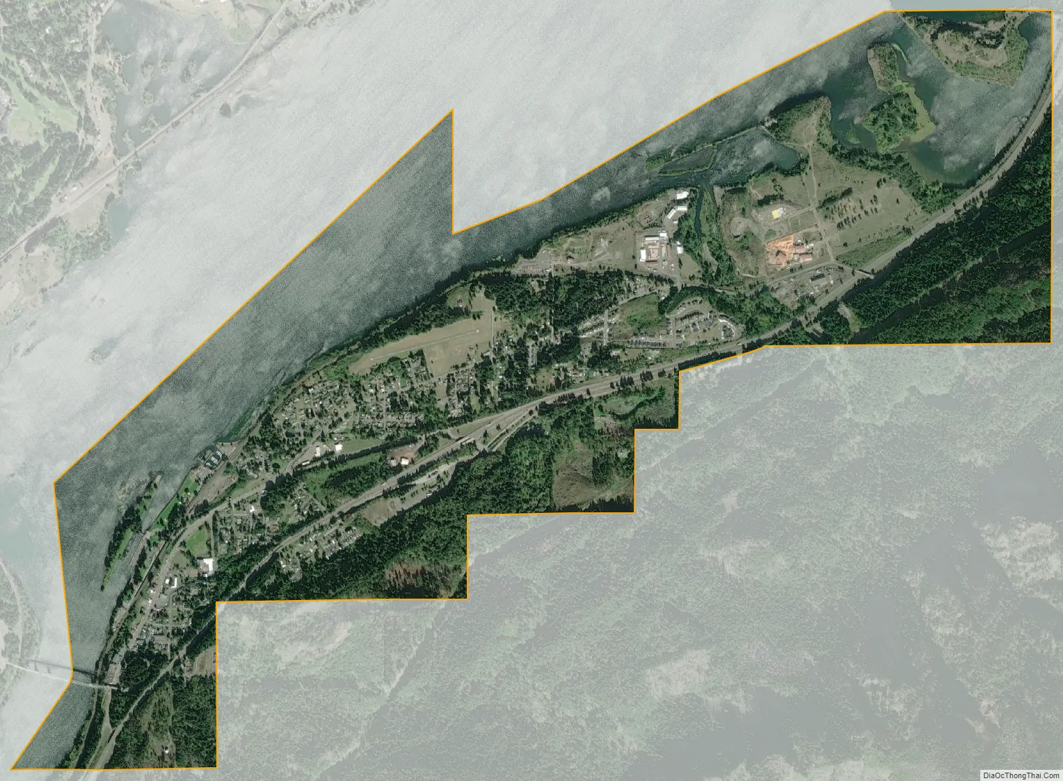
Geography
Cascade Locks is in the northwest corner of Hood River County, on the south side of the Columbia River. It is bordered to the north (in the middle of the river) by Skamania County, Washington. The city of Stevenson, Washington, is north of Cascade Locks across the river.
U.S. Route 30 passes through the center of Cascade Locks as Wa Na Pa Street, joining Interstate 84 at the east and west end of the downtown. Both exits with I-84 are labeled “44”. I-84 and US 30 lead east 19 miles (31 km) to Hood River and west 43 miles (69 km) to Portland. US 30 provides access to the Bridge of the Gods, a toll bridge which crosses the Columbia River to connect with Washington State Route 14 between North Bonneville and Stevenson.
According to the United States Census Bureau, the city of Cascade Locks has a total area of 3.04 square miles (7.87 km), of which 2.08 square miles (5.39 km) are land and 0.96 square miles (2.49 km) are water.
Climate
This region experiences warm (but not hot) and dry summers, with no average monthly temperatures above 71.6 °F (22.0 °C). According to the Köppen climate classification system, Cascade Locks has a warm-summer Mediterranean climate which is abbreviated as “Csb” on climate maps. The city receives an average of 76.27 in (1,937 mm) of precipitation per year.
See also
Map of Oregon State and its subdivision: Map of other states:- Alabama
- Alaska
- Arizona
- Arkansas
- California
- Colorado
- Connecticut
- Delaware
- District of Columbia
- Florida
- Georgia
- Hawaii
- Idaho
- Illinois
- Indiana
- Iowa
- Kansas
- Kentucky
- Louisiana
- Maine
- Maryland
- Massachusetts
- Michigan
- Minnesota
- Mississippi
- Missouri
- Montana
- Nebraska
- Nevada
- New Hampshire
- New Jersey
- New Mexico
- New York
- North Carolina
- North Dakota
- Ohio
- Oklahoma
- Oregon
- Pennsylvania
- Rhode Island
- South Carolina
- South Dakota
- Tennessee
- Texas
- Utah
- Vermont
- Virginia
- Washington
- West Virginia
- Wisconsin
- Wyoming