Dayton is a city in Yamhill County, Oregon, United States. The population was 2,678 at the 2020 census.
| Name: | Dayton city |
|---|---|
| LSAD Code: | 25 |
| LSAD Description: | city (suffix) |
| State: | Oregon |
| County: | Yamhill County |
| Incorporated: | 1880 |
| Elevation: | 161 ft (48.7 m) |
| Total Area: | 0.84 sq mi (2.17 km²) |
| Land Area: | 0.84 sq mi (2.17 km²) |
| Water Area: | 0.00 sq mi (0.00 km²) |
| Total Population: | 2,678 |
| Population Density: | 3,203.35/sq mi (1,236.55/km²) |
| ZIP code: | 97114 |
| Area code: | 503 |
| FIPS code: | 4118250 |
| GNISfeature ID: | 1166639 |
| Website: | www.daytonoregon.gov |
Online Interactive Map
Click on ![]() to view map in "full screen" mode.
to view map in "full screen" mode.
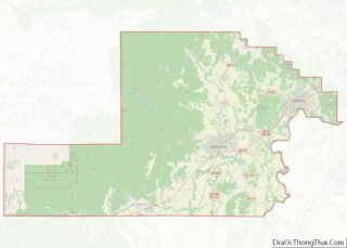
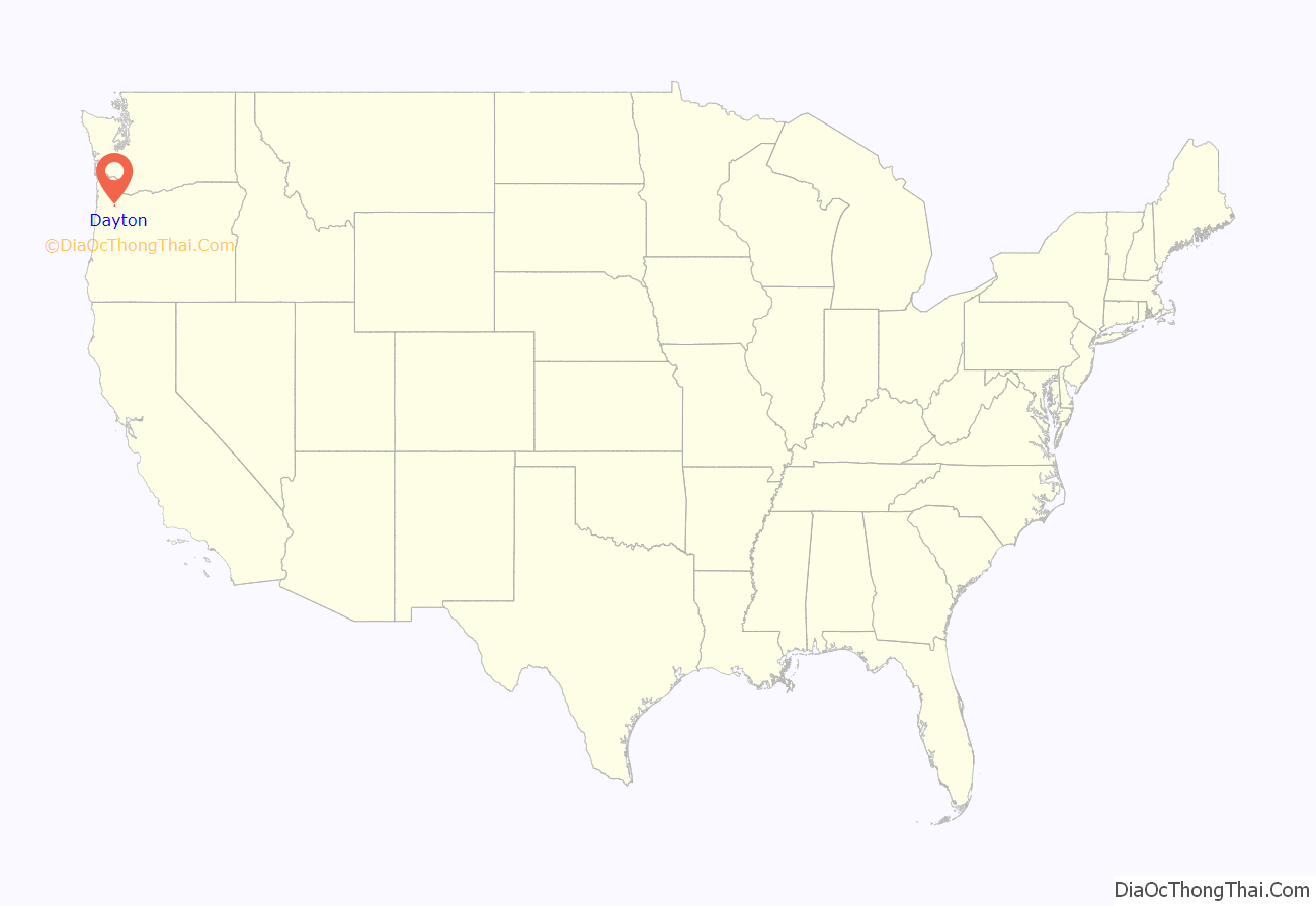
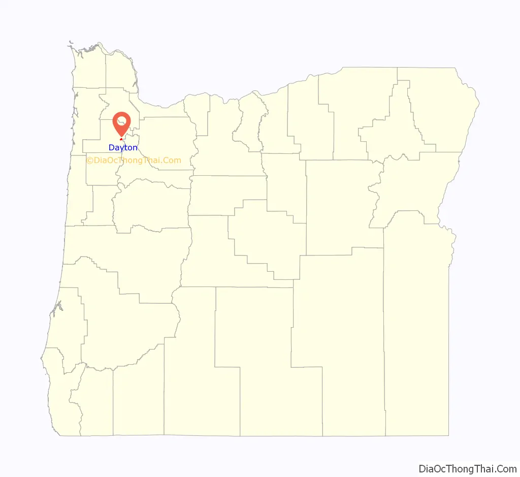
Dayton location map. Where is Dayton city?
History
The city was founded in 1850 by Andrew Smith and Joel Palmer. Palmer, who also served as superintendent of Indian affairs for Oregon, built a flour mill there. Dayton was named for Smith’s hometown, Dayton, Ohio. Dayton post office was opened in 1851, with Christopher Taylor serving as postmaster.
There are many historic landmarks throughout the city. The oldest standing structure is the Joel Palmer House, built in 1852 or 1857. It has been on the National Register of Historic Places since March 16, 1987, and has been painstakingly restored. Since 1996, it has been home to a four-star restaurant of the same name as the historic house.
Nearby, in Courthouse Square Park, is the Fort Yamhill Block House, which was brought to Dayton in 1911 to prevent its demolition. The structure had been built by Willamette Valley settlers on Fort Hill in the Grand Ronde Valley in 1855 and 1856. John G. Lewis, a citizen of Dayton, secured permission from authorities to move the logs to Dayton, where they were reassembled.
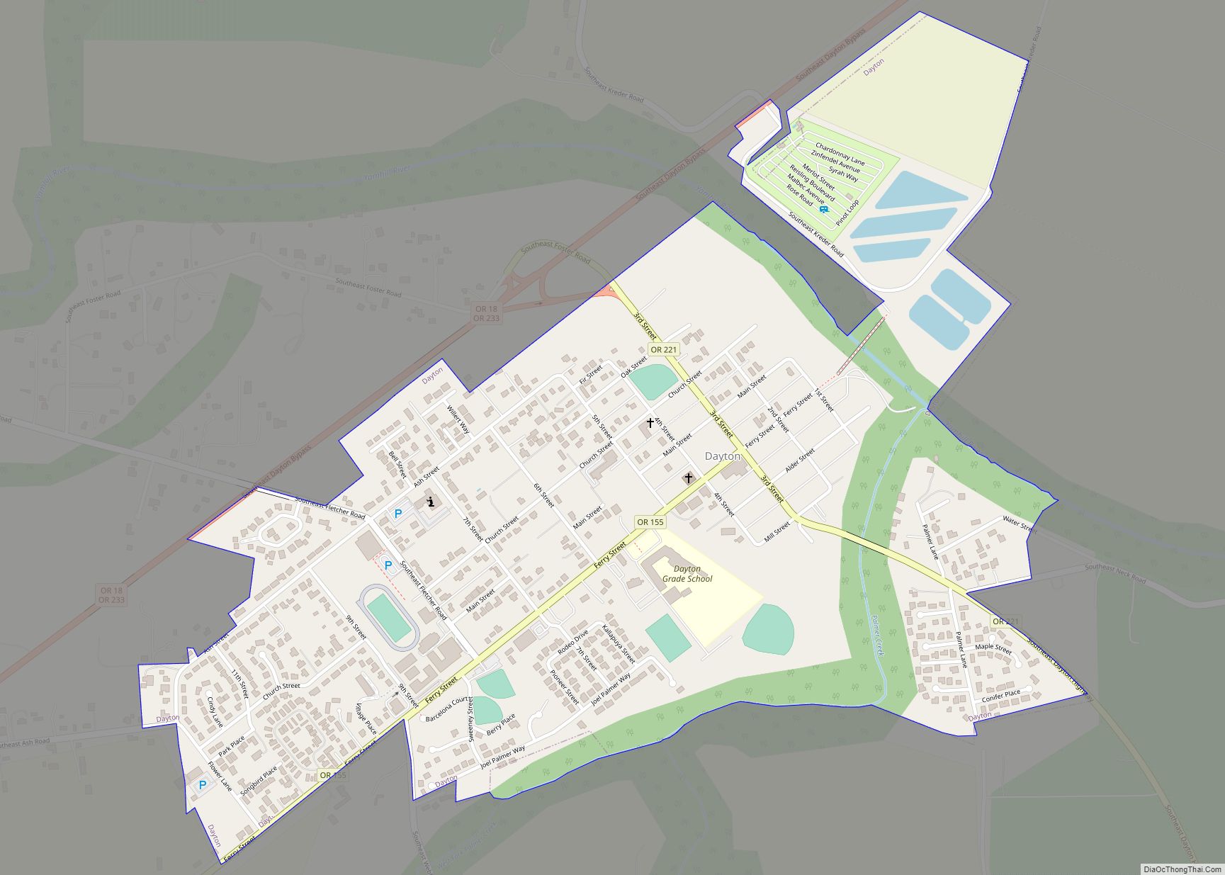
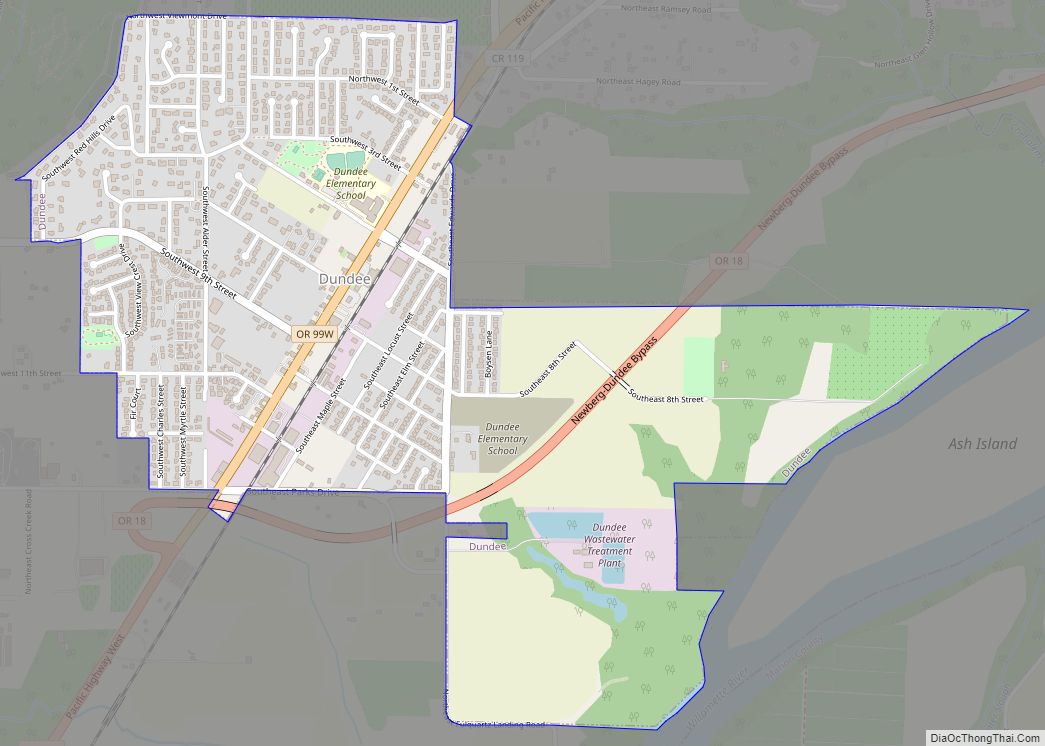
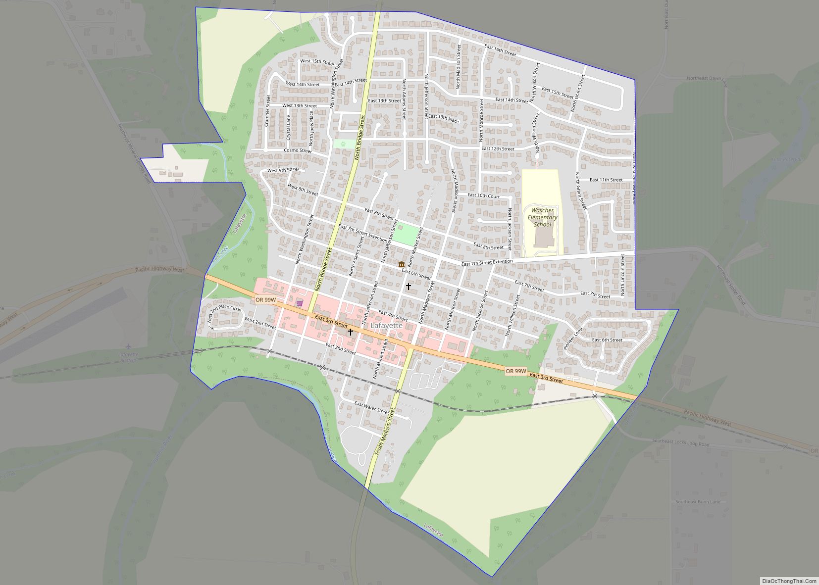
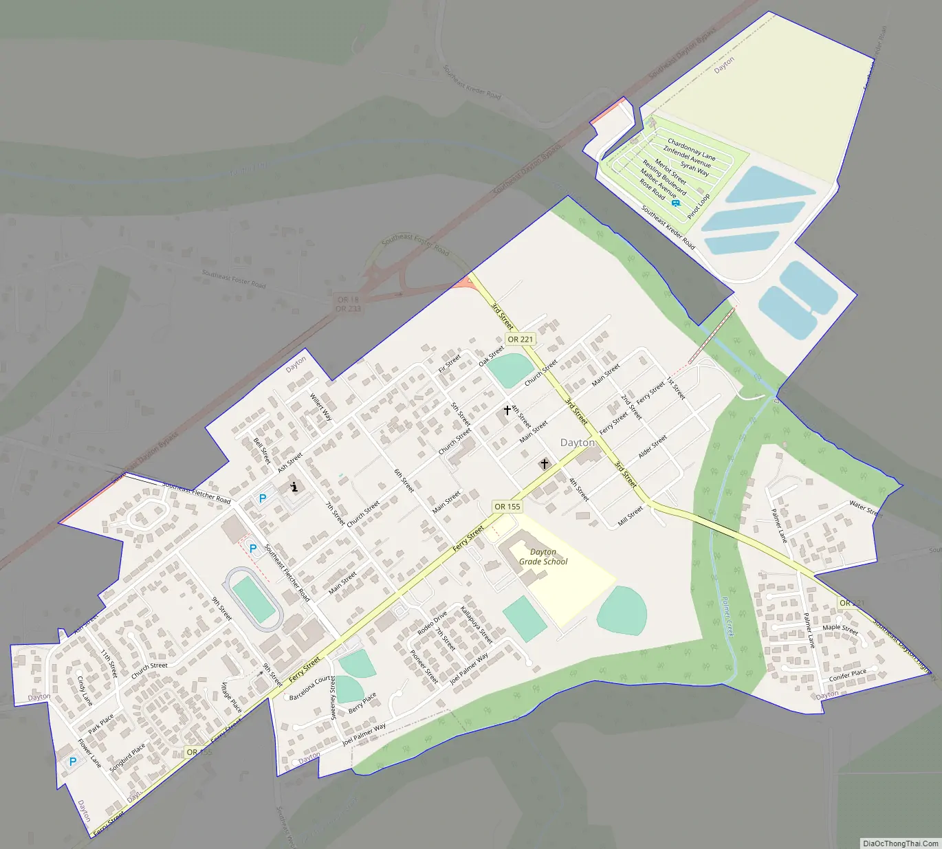
Dayton Road Map
Dayton city Satellite Map
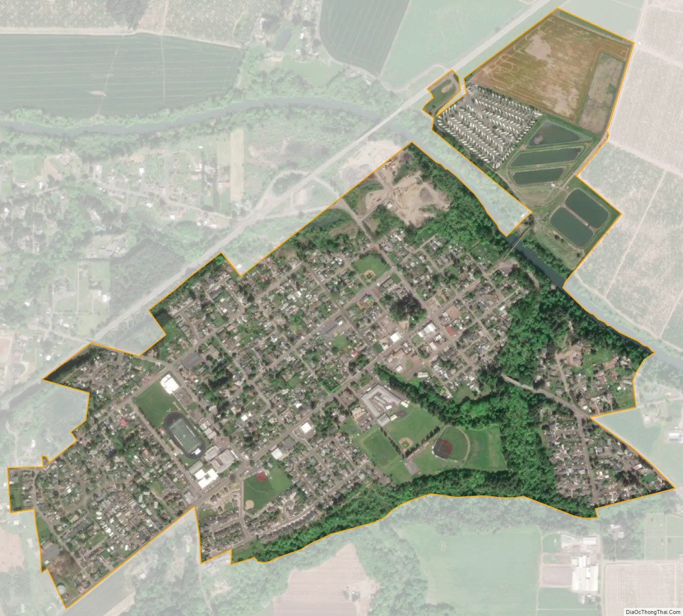
Geography
Dayton is located in the Willamette Valley, approximately 25 miles (40 km) southwest of Portland and seven miles (11 km) east of McMinnville.
According to the United States Census Bureau, the city has a total area of 0.84 square miles (2.18 km), all of it land.
See also
Map of Oregon State and its subdivision: Map of other states:- Alabama
- Alaska
- Arizona
- Arkansas
- California
- Colorado
- Connecticut
- Delaware
- District of Columbia
- Florida
- Georgia
- Hawaii
- Idaho
- Illinois
- Indiana
- Iowa
- Kansas
- Kentucky
- Louisiana
- Maine
- Maryland
- Massachusetts
- Michigan
- Minnesota
- Mississippi
- Missouri
- Montana
- Nebraska
- Nevada
- New Hampshire
- New Jersey
- New Mexico
- New York
- North Carolina
- North Dakota
- Ohio
- Oklahoma
- Oregon
- Pennsylvania
- Rhode Island
- South Carolina
- South Dakota
- Tennessee
- Texas
- Utah
- Vermont
- Virginia
- Washington
- West Virginia
- Wisconsin
- Wyoming