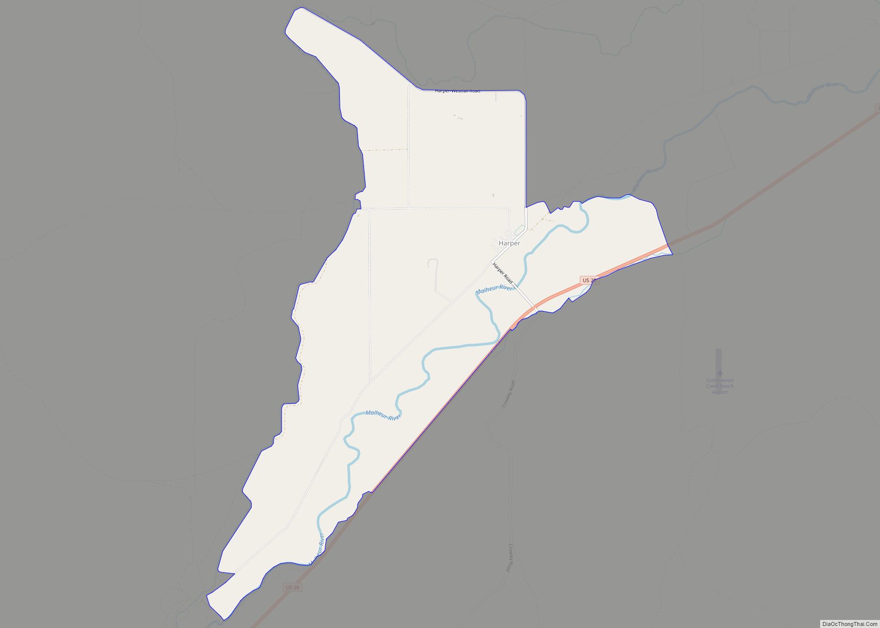
Harper is an unincorporated community in Malheur County, Oregon, United States. Although it is unincorporated, it has a post office with a ZIP code 97906. Harper lies off U.S. Route 20 southwest of Vale.
| Name: | Harper CDP |
|---|---|
| LSAD Code: | 57 |
| LSAD Description: | CDP (suffix) |
| State: | Oregon |
| County: | Malheur County |
| Elevation: | 2,520 ft (770 m) |
| Total Area: | 7.00 sq mi (18.14 km²) |
| Land Area: | 7.00 sq mi (18.14 km²) |
| Water Area: | 0.00 sq mi (0.00 km²) |
| Total Population: | 113 |
| Population Density: | 16.14/sq mi (6.23/km²) |
| ZIP code: | 97906 |
| FIPS code: | 4132400 |
Online Interactive Map
Click on ![]() to view map in "full screen" mode.
to view map in "full screen" mode.
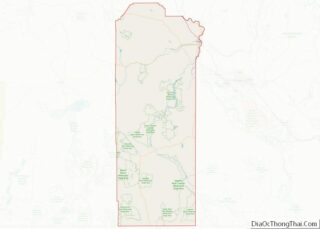
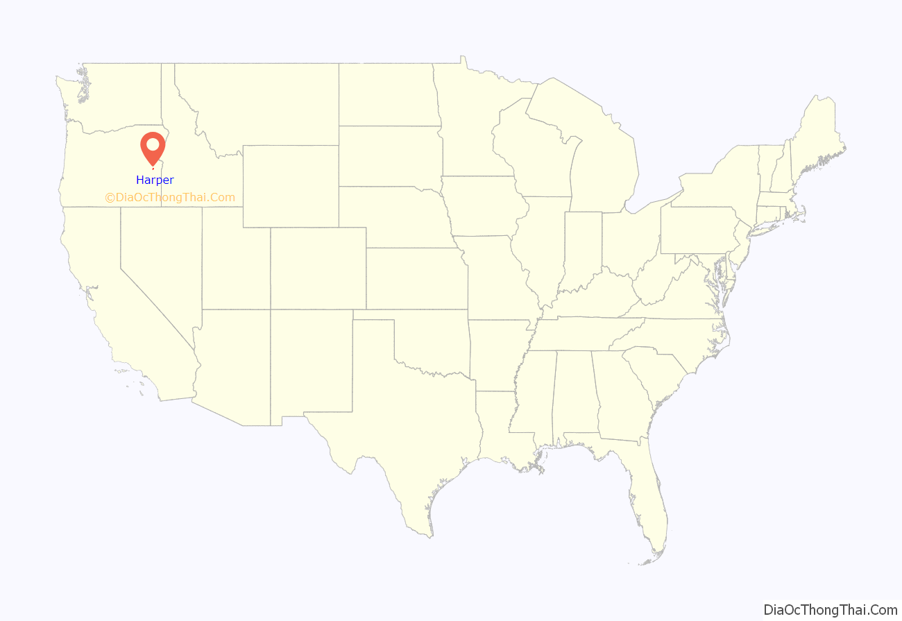
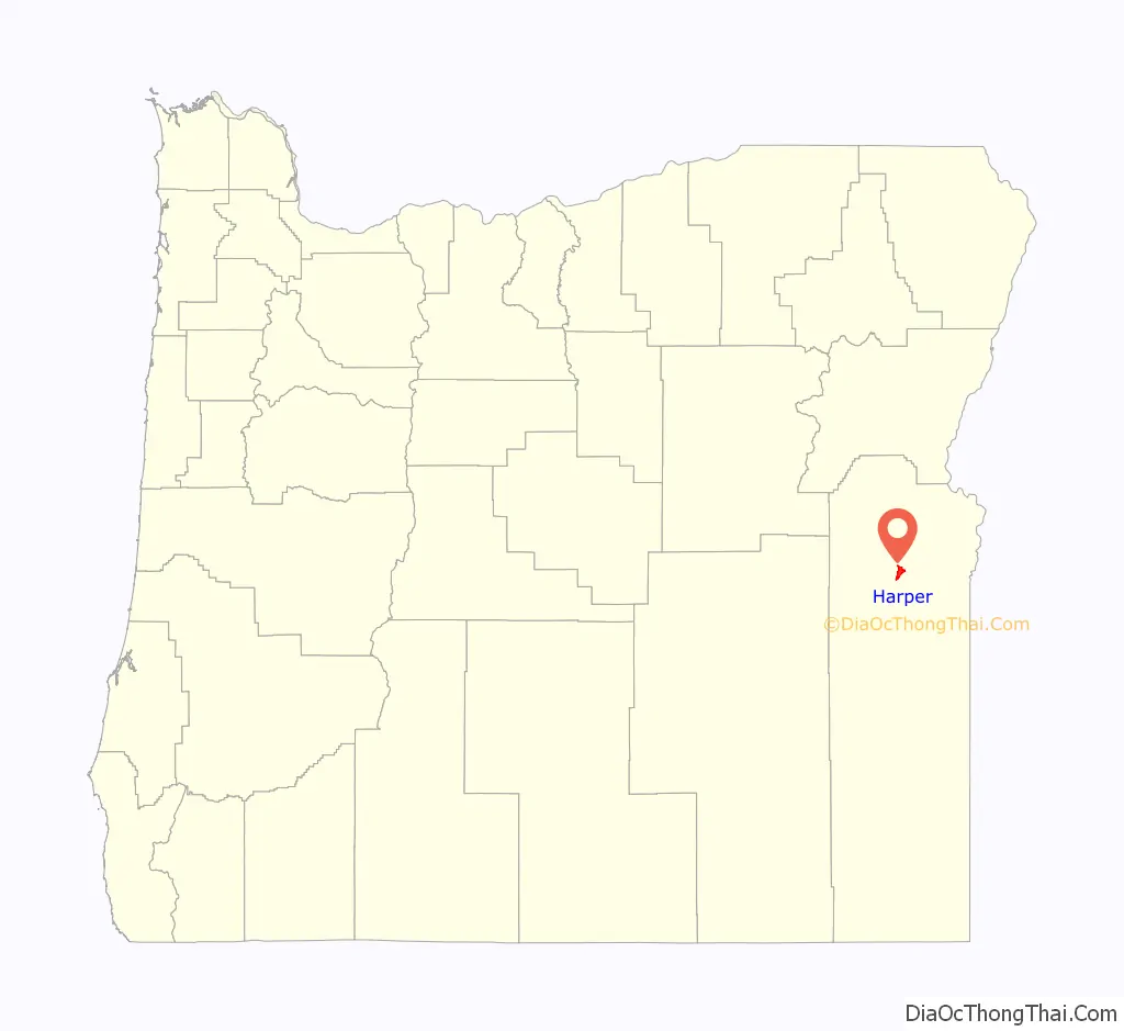
Harper location map. Where is Harper CDP?
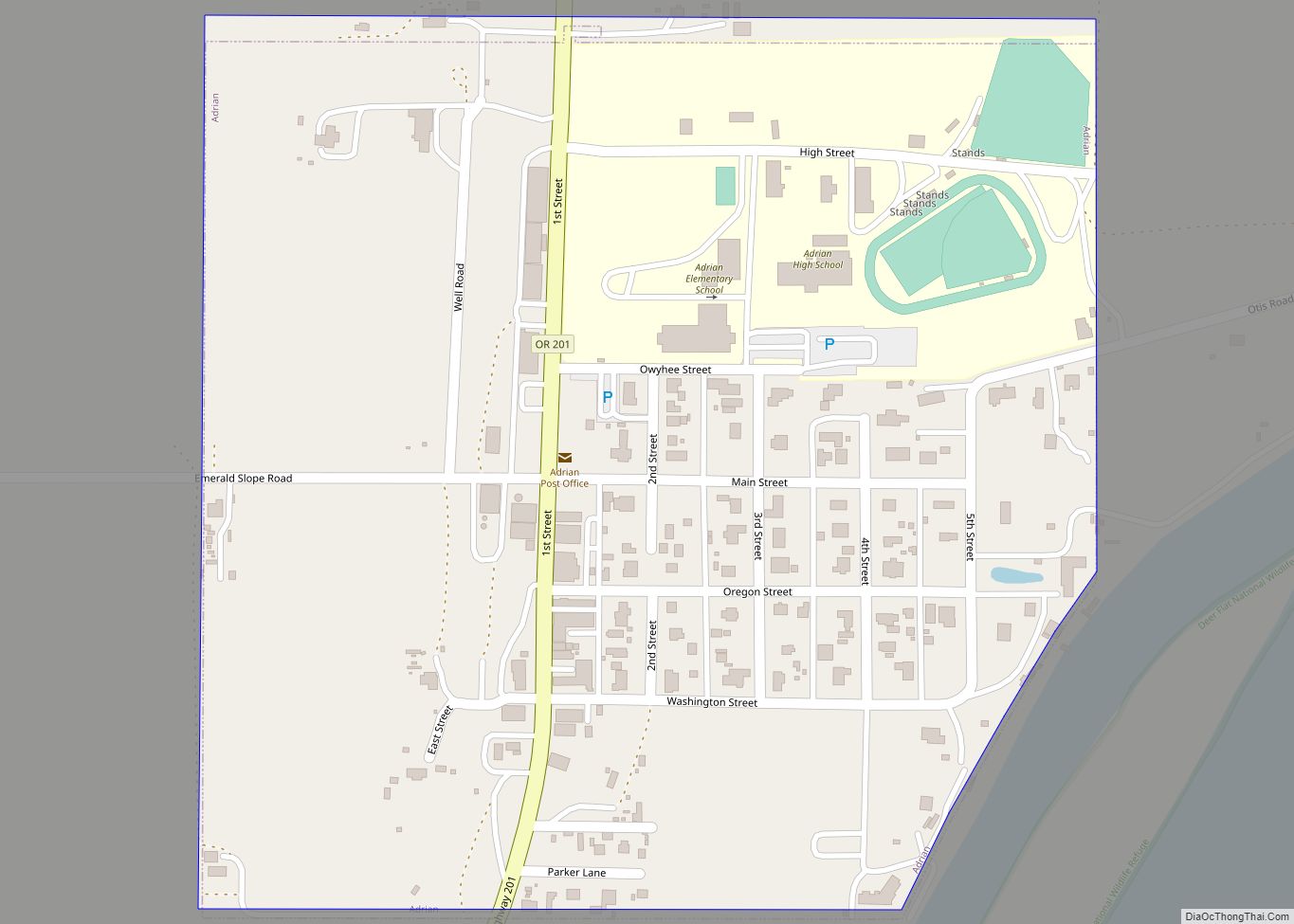
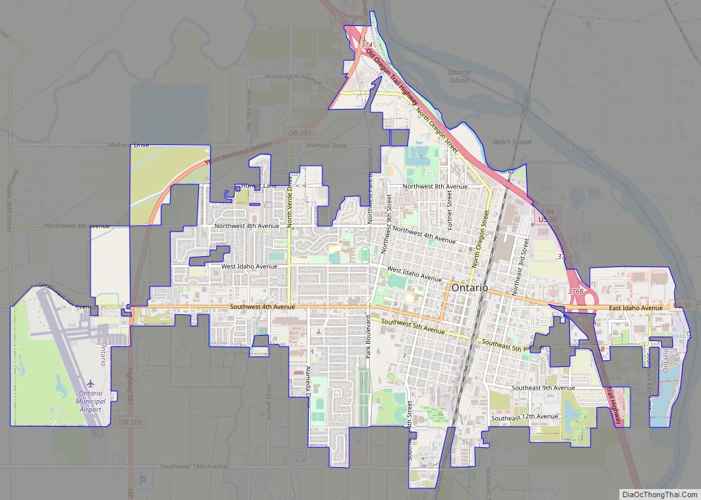
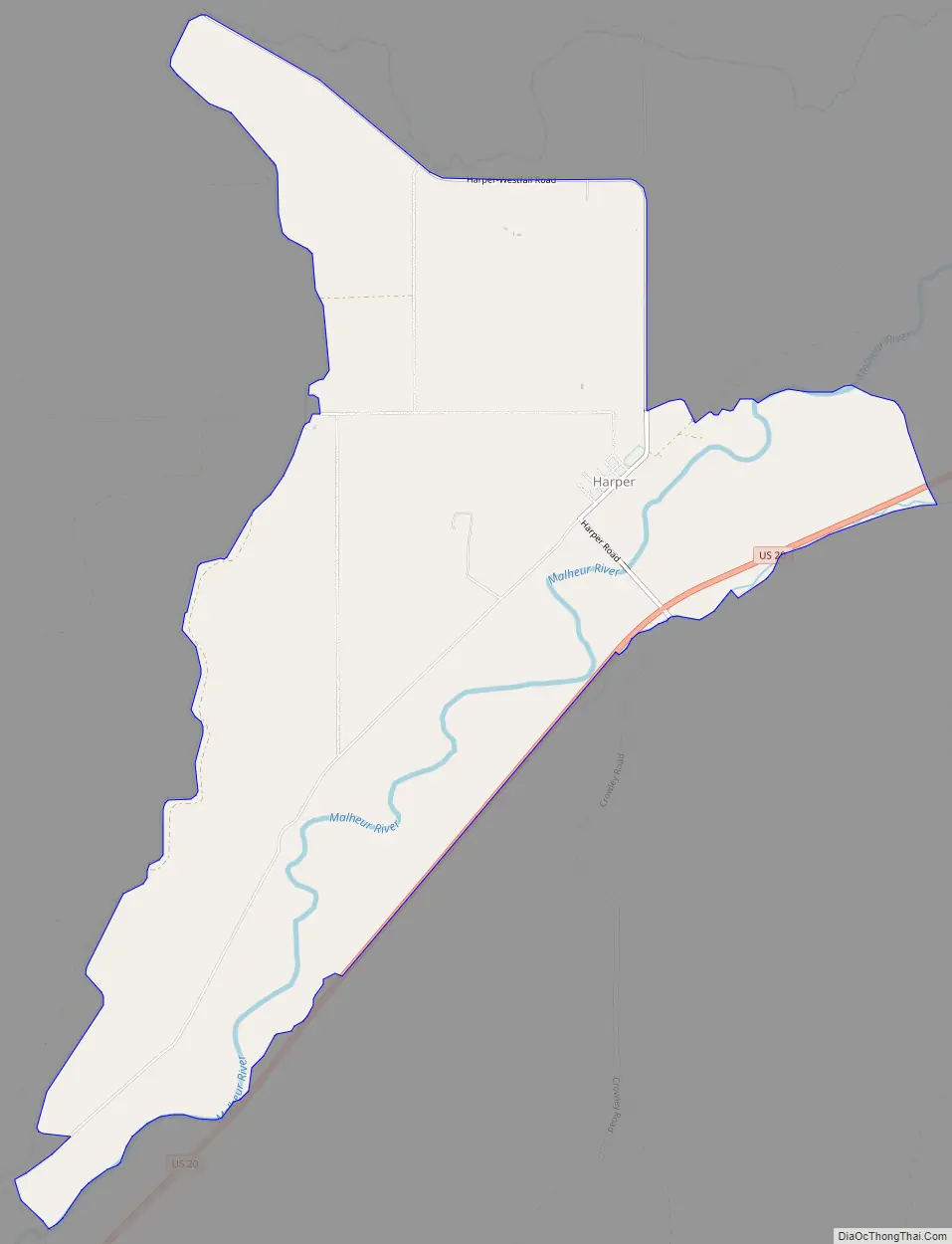
Harper Road Map
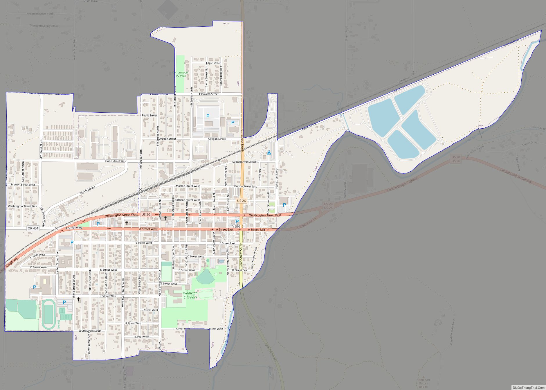
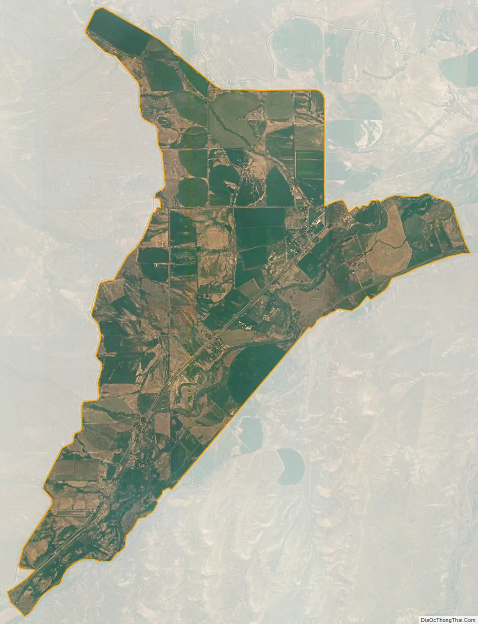
Harper city Satellite Map
See also
Map of Oregon State and its subdivision: Map of other states:- Alabama
- Alaska
- Arizona
- Arkansas
- California
- Colorado
- Connecticut
- Delaware
- District of Columbia
- Florida
- Georgia
- Hawaii
- Idaho
- Illinois
- Indiana
- Iowa
- Kansas
- Kentucky
- Louisiana
- Maine
- Maryland
- Massachusetts
- Michigan
- Minnesota
- Mississippi
- Missouri
- Montana
- Nebraska
- Nevada
- New Hampshire
- New Jersey
- New Mexico
- New York
- North Carolina
- North Dakota
- Ohio
- Oklahoma
- Oregon
- Pennsylvania
- Rhode Island
- South Carolina
- South Dakota
- Tennessee
- Texas
- Utah
- Vermont
- Virginia
- Washington
- West Virginia
- Wisconsin
- Wyoming