Helix is a city in Umatilla County, Oregon, United States. The population was 184 at the 2010 census. It is part of the Pendleton–Hermiston Micropolitan Statistical Area.
| Name: | Helix city |
|---|---|
| LSAD Code: | 25 |
| LSAD Description: | city (suffix) |
| State: | Oregon |
| County: | Umatilla County |
| Incorporated: | 1903 |
| Elevation: | 1,754 ft (535 m) |
| Total Area: | 0.13 sq mi (0.33 km²) |
| Land Area: | 0.13 sq mi (0.33 km²) |
| Water Area: | 0.00 sq mi (0.00 km²) |
| Total Population: | 194 |
| Population Density: | 1,527.56/sq mi (590.84/km²) |
| ZIP code: | 97835 |
| Area code: | 458 and 541 |
| FIPS code: | 4133250 |
| GNISfeature ID: | 1121739 |
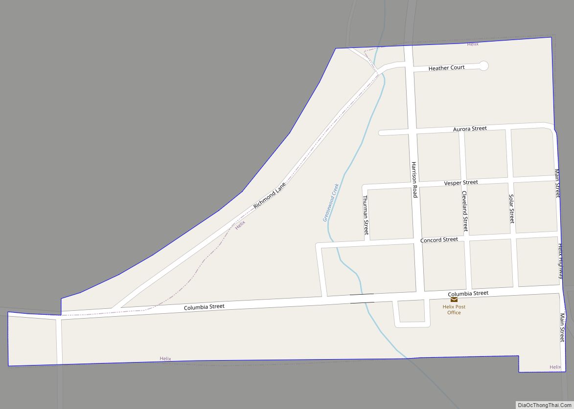
Online Interactive Map
Click on ![]() to view map in "full screen" mode.
to view map in "full screen" mode.
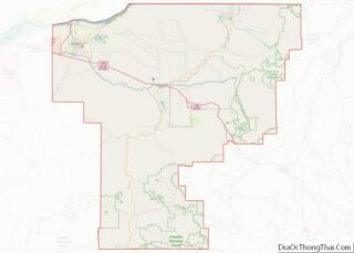
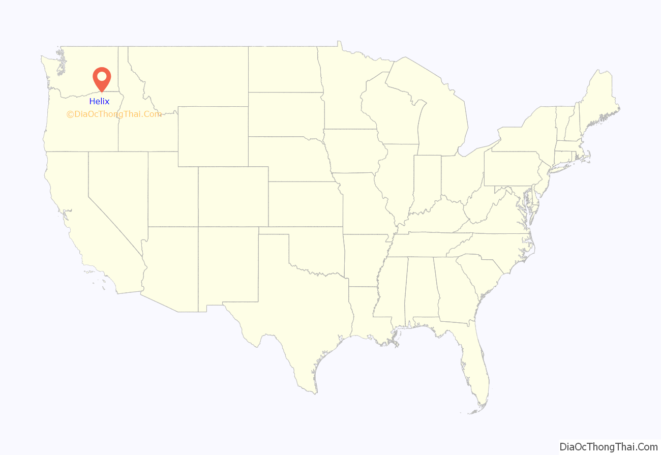
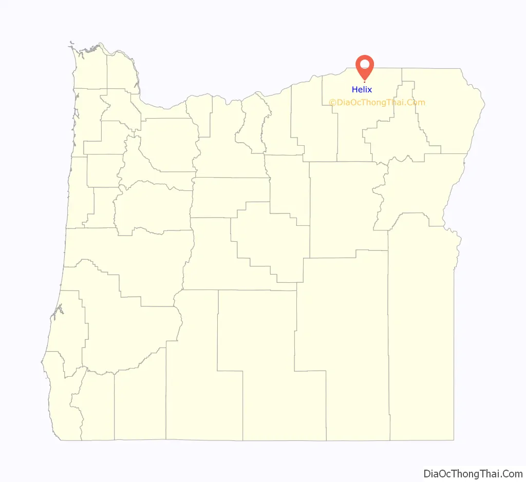
Helix location map. Where is Helix city?
History
Helix, a geometry term and a part of the ear, was originally to be named Oxford, but authorities declined that option when the community’s post office was to be named in 1880. The citizens then decided on Helix since a resident had recently had ear surgery. The author of Oregon Geographic Names, Lewis A. McArthur, had his doubts about the story.
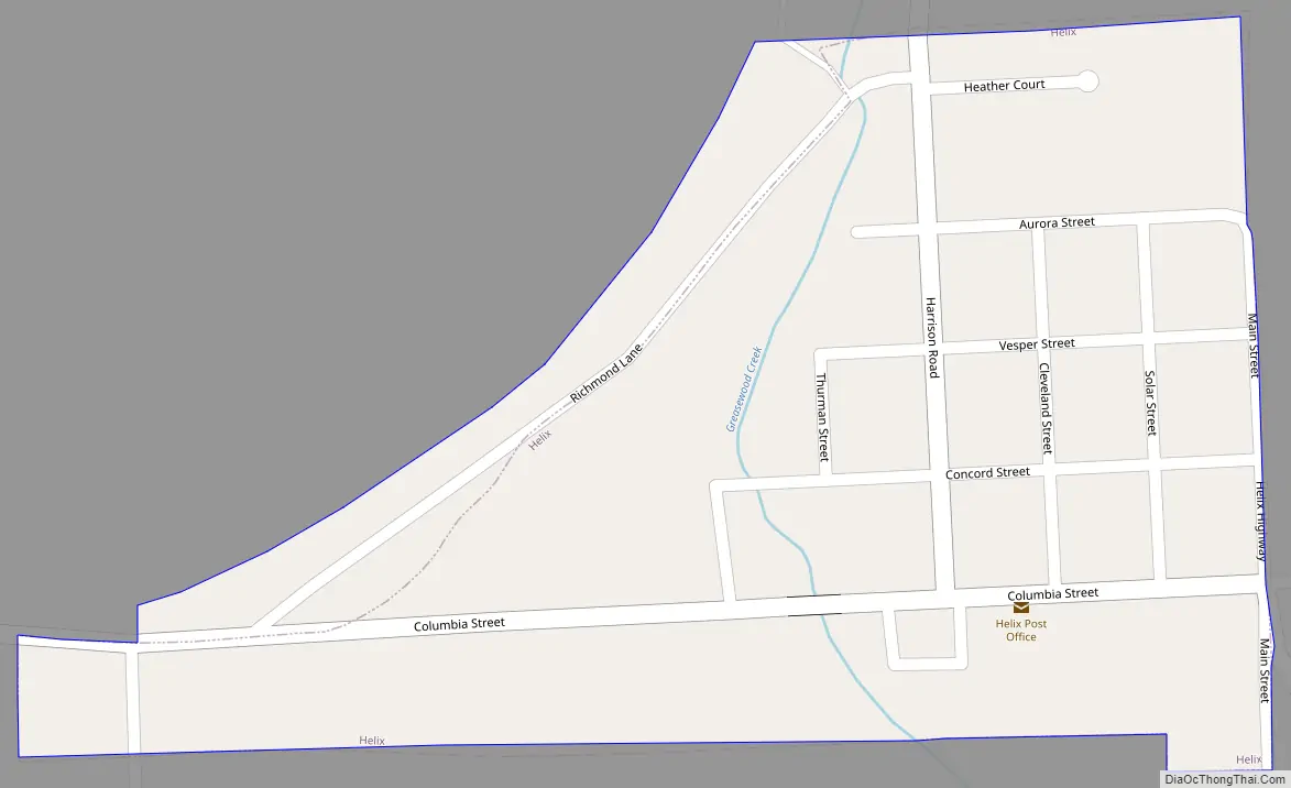
Helix Road Map
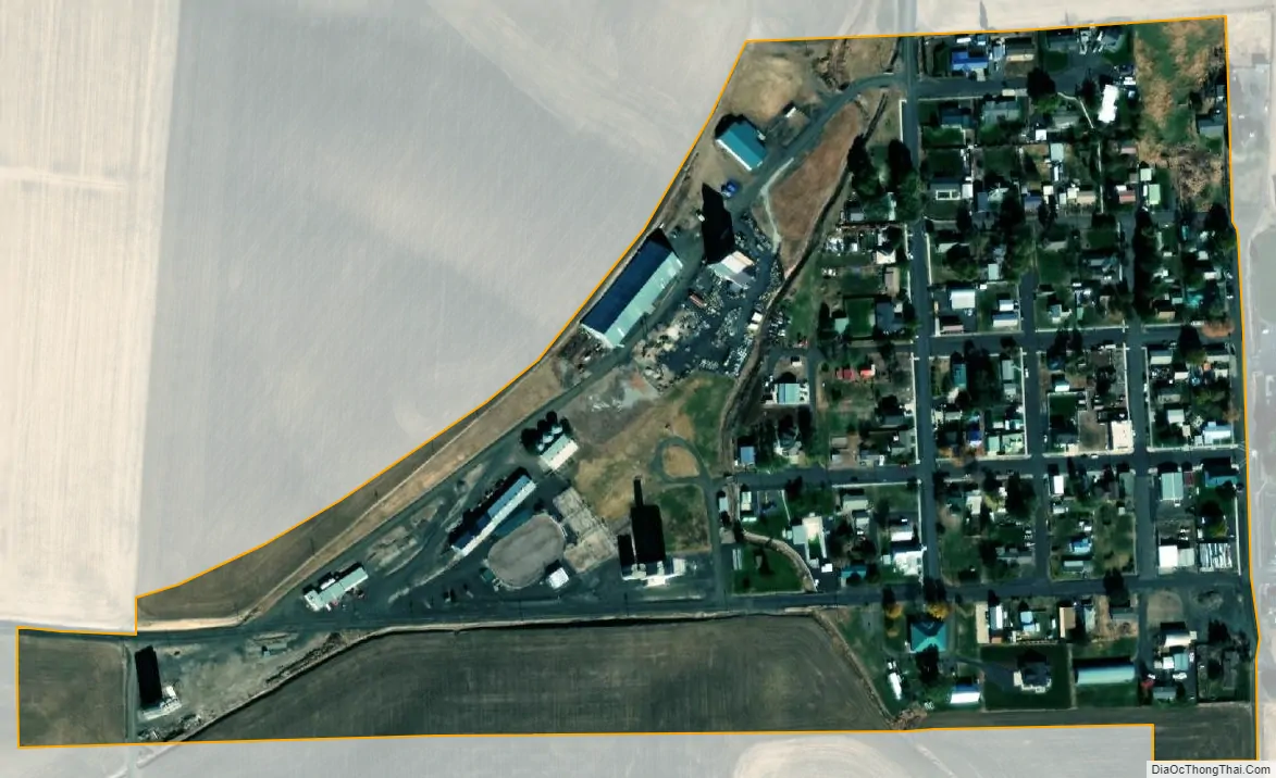
Helix city Satellite Map
Geography
According to the United States Census Bureau, the city has a total area of 0.13 square miles (0.34 km), all of it land.
See also
Map of Oregon State and its subdivision: Map of other states:- Alabama
- Alaska
- Arizona
- Arkansas
- California
- Colorado
- Connecticut
- Delaware
- District of Columbia
- Florida
- Georgia
- Hawaii
- Idaho
- Illinois
- Indiana
- Iowa
- Kansas
- Kentucky
- Louisiana
- Maine
- Maryland
- Massachusetts
- Michigan
- Minnesota
- Mississippi
- Missouri
- Montana
- Nebraska
- Nevada
- New Hampshire
- New Jersey
- New Mexico
- New York
- North Carolina
- North Dakota
- Ohio
- Oklahoma
- Oregon
- Pennsylvania
- Rhode Island
- South Carolina
- South Dakota
- Tennessee
- Texas
- Utah
- Vermont
- Virginia
- Washington
- West Virginia
- Wisconsin
- Wyoming