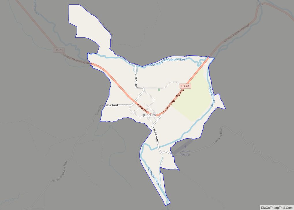
Juntura is an unincorporated community in Malheur County, Oregon, United States on U.S. Route 20. The word juntura is Spanish for “juncture”, and the community was named for its proximity to the confluence of the Malheur River with the North Fork Malheur River. The name was probably selected by local settler B. L. Milligan, who arrived in the area in the 1880s and who later served as county school superintendent. Juntura post office was established in 1890 and is still operating. The community’s development slowed after World War II, and on November 2, 1976, the town voted to disincorporate. Juntura is part of the Ontario micropolitan area.
| Name: | Juntura CDP |
|---|---|
| LSAD Code: | 57 |
| LSAD Description: | CDP (suffix) |
| State: | Oregon |
| County: | Malheur County |
| Elevation: | 3,044 ft (928 m) |
| Total Area: | 57 |
| ZIP code: | 97911 |
| FIPS code: | 4138150 |
Online Interactive Map
Click on ![]() to view map in "full screen" mode.
to view map in "full screen" mode.
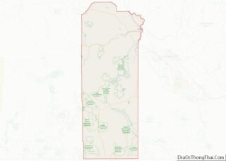
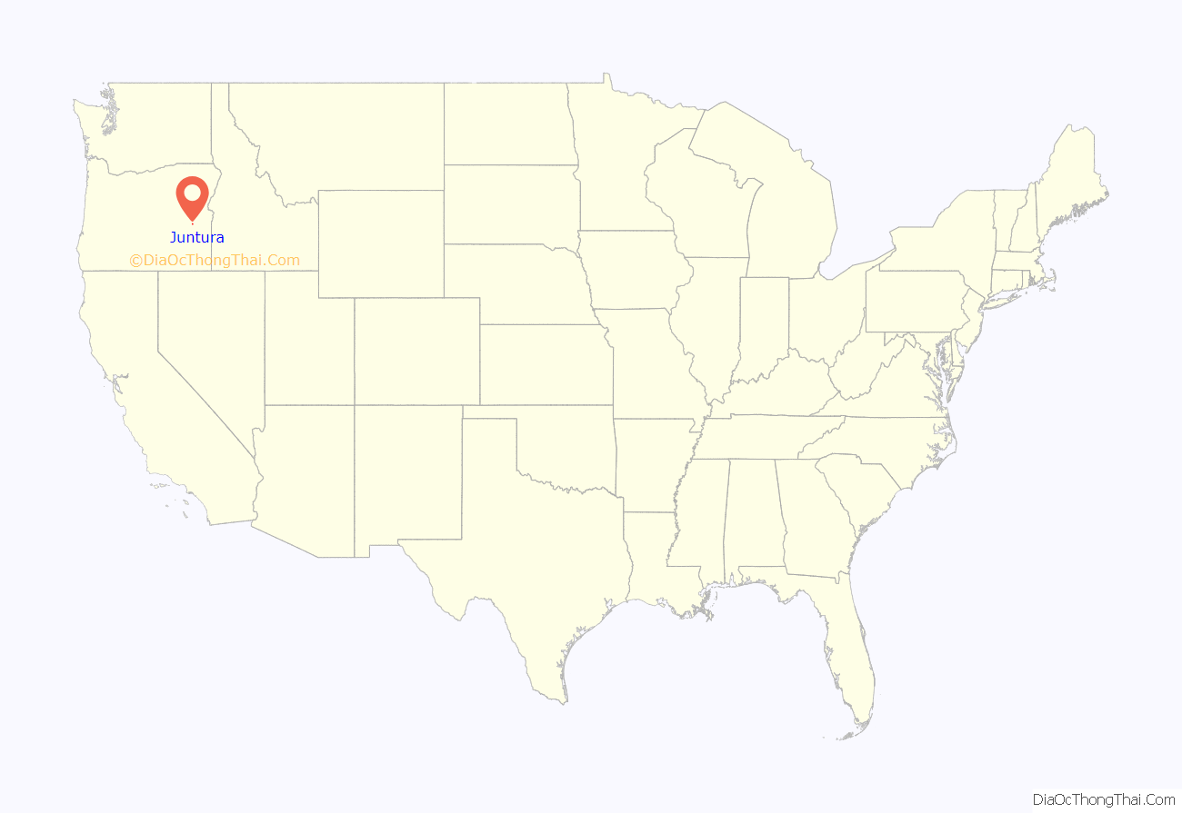
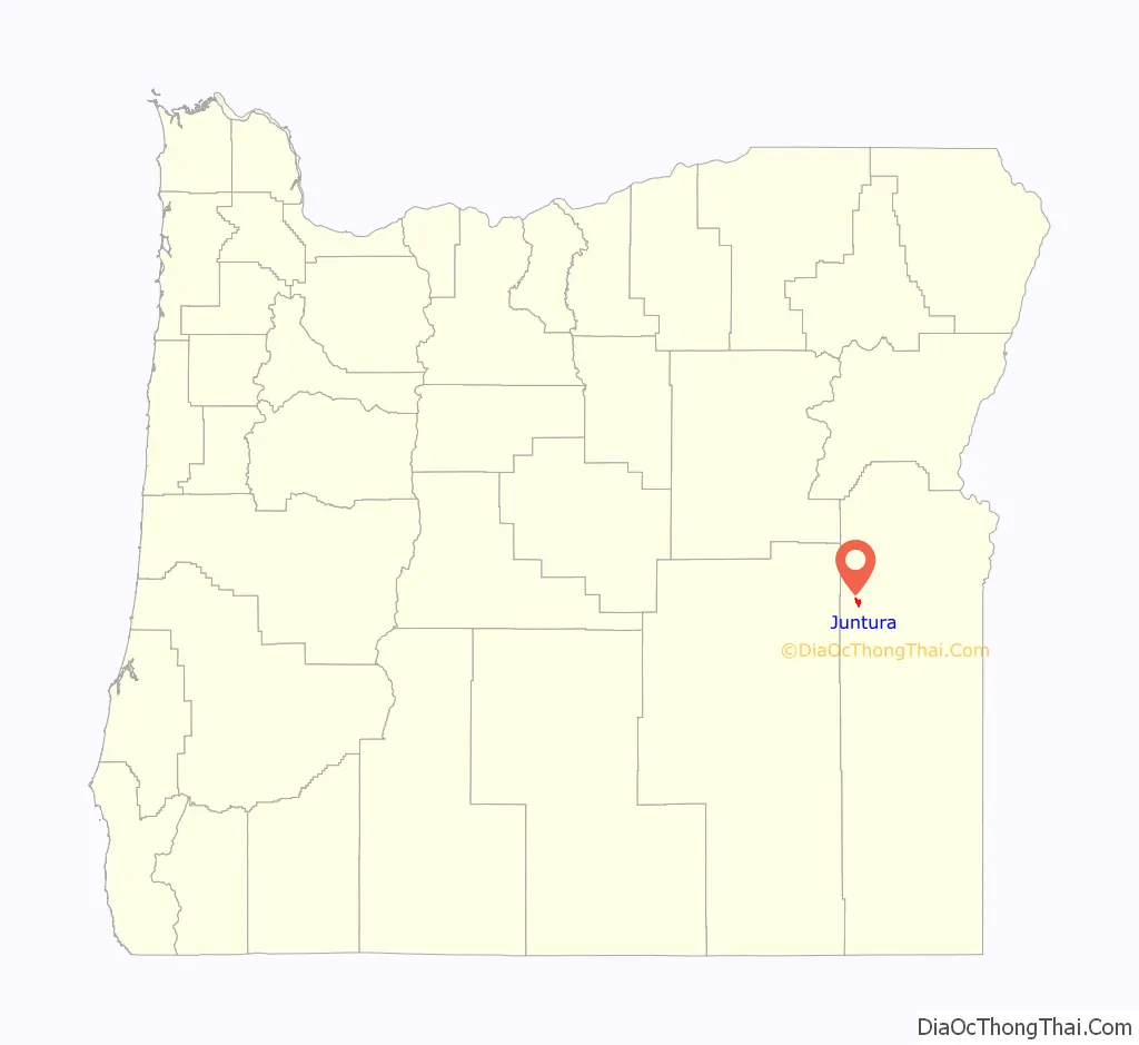
Juntura location map. Where is Juntura CDP?
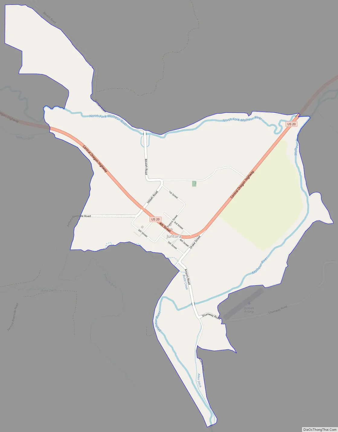
Juntura Road Map
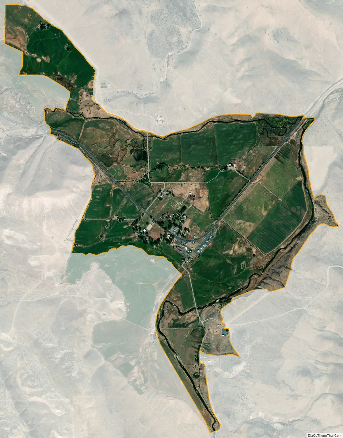
Juntura city Satellite Map
See also
Map of Oregon State and its subdivision: Map of other states:- Alabama
- Alaska
- Arizona
- Arkansas
- California
- Colorado
- Connecticut
- Delaware
- District of Columbia
- Florida
- Georgia
- Hawaii
- Idaho
- Illinois
- Indiana
- Iowa
- Kansas
- Kentucky
- Louisiana
- Maine
- Maryland
- Massachusetts
- Michigan
- Minnesota
- Mississippi
- Missouri
- Montana
- Nebraska
- Nevada
- New Hampshire
- New Jersey
- New Mexico
- New York
- North Carolina
- North Dakota
- Ohio
- Oklahoma
- Oregon
- Pennsylvania
- Rhode Island
- South Carolina
- South Dakota
- Tennessee
- Texas
- Utah
- Vermont
- Virginia
- Washington
- West Virginia
- Wisconsin
- Wyoming