Malin is a city in Klamath County, Oregon, United States. The population was 805 at the 2010 census.
| Name: | Malin city |
|---|---|
| LSAD Code: | 25 |
| LSAD Description: | city (suffix) |
| State: | Oregon |
| County: | Klamath County |
| Incorporated: | 1922 |
| Elevation: | 4,062 ft (1,238 m) |
| Total Area: | 0.50 sq mi (1.29 km²) |
| Land Area: | 0.50 sq mi (1.29 km²) |
| Water Area: | 0.00 sq mi (0.00 km²) |
| Total Population: | 731 |
| Population Density: | 1,464.93/sq mi (565.36/km²) |
| ZIP code: | 97632 |
| Area code: | 458 and 541 |
| FIPS code: | 4145400 |
| GNISfeature ID: | 1136509 |
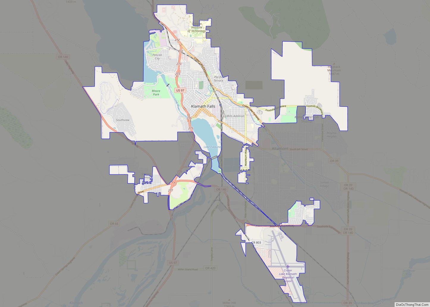
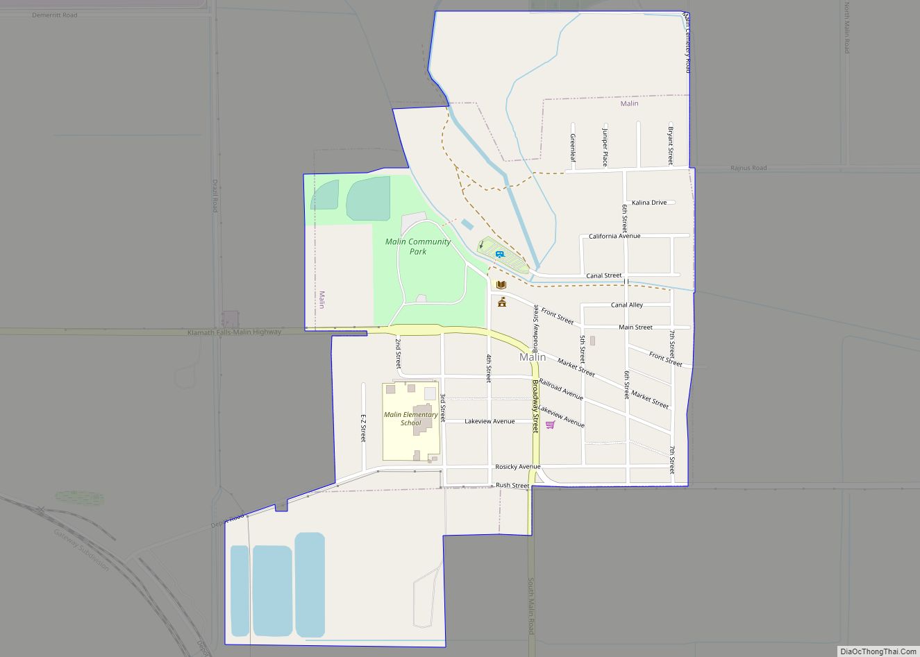
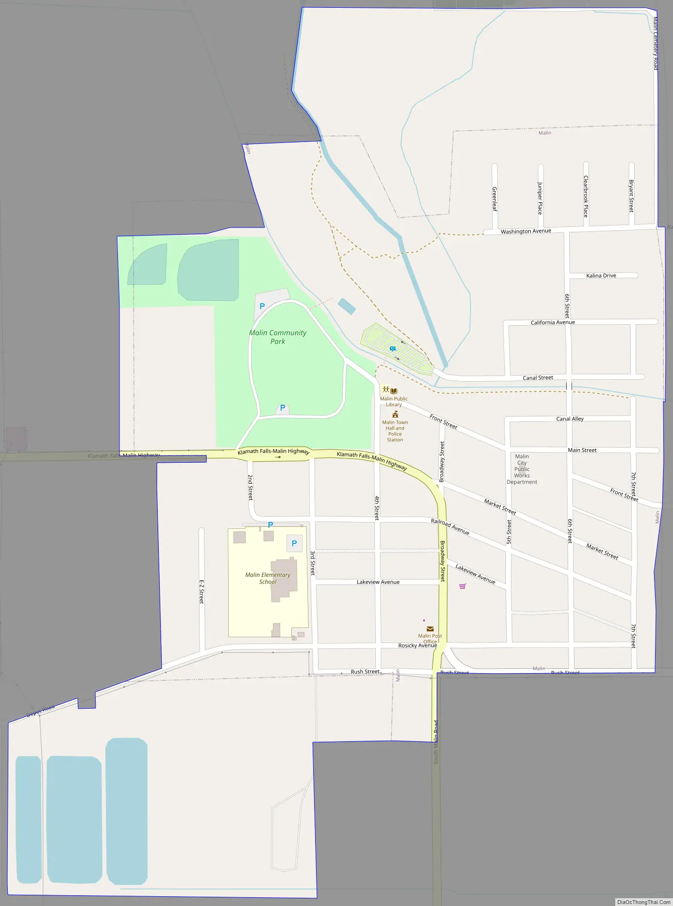
Online Interactive Map
Click on ![]() to view map in "full screen" mode.
to view map in "full screen" mode.
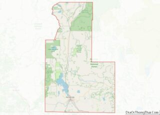
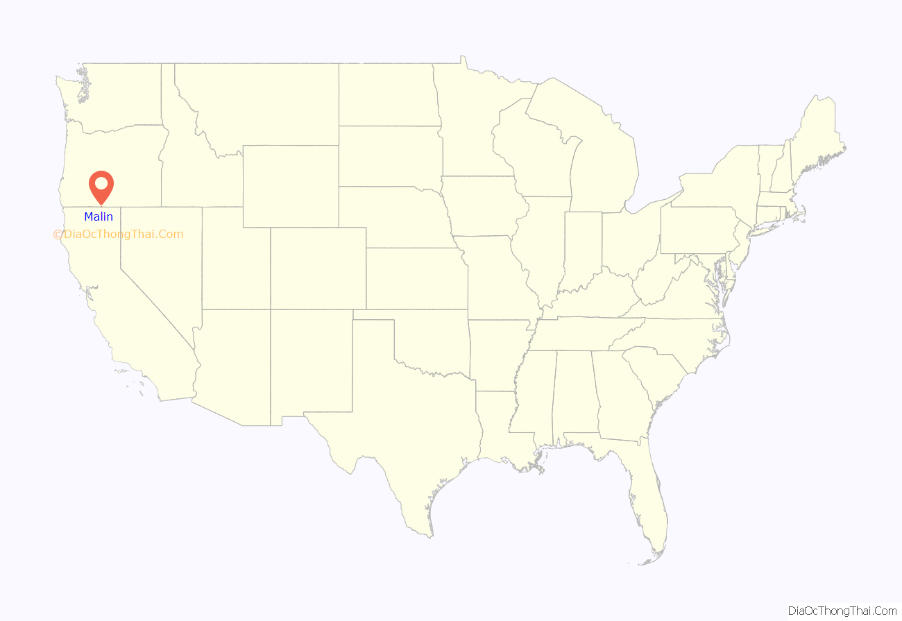
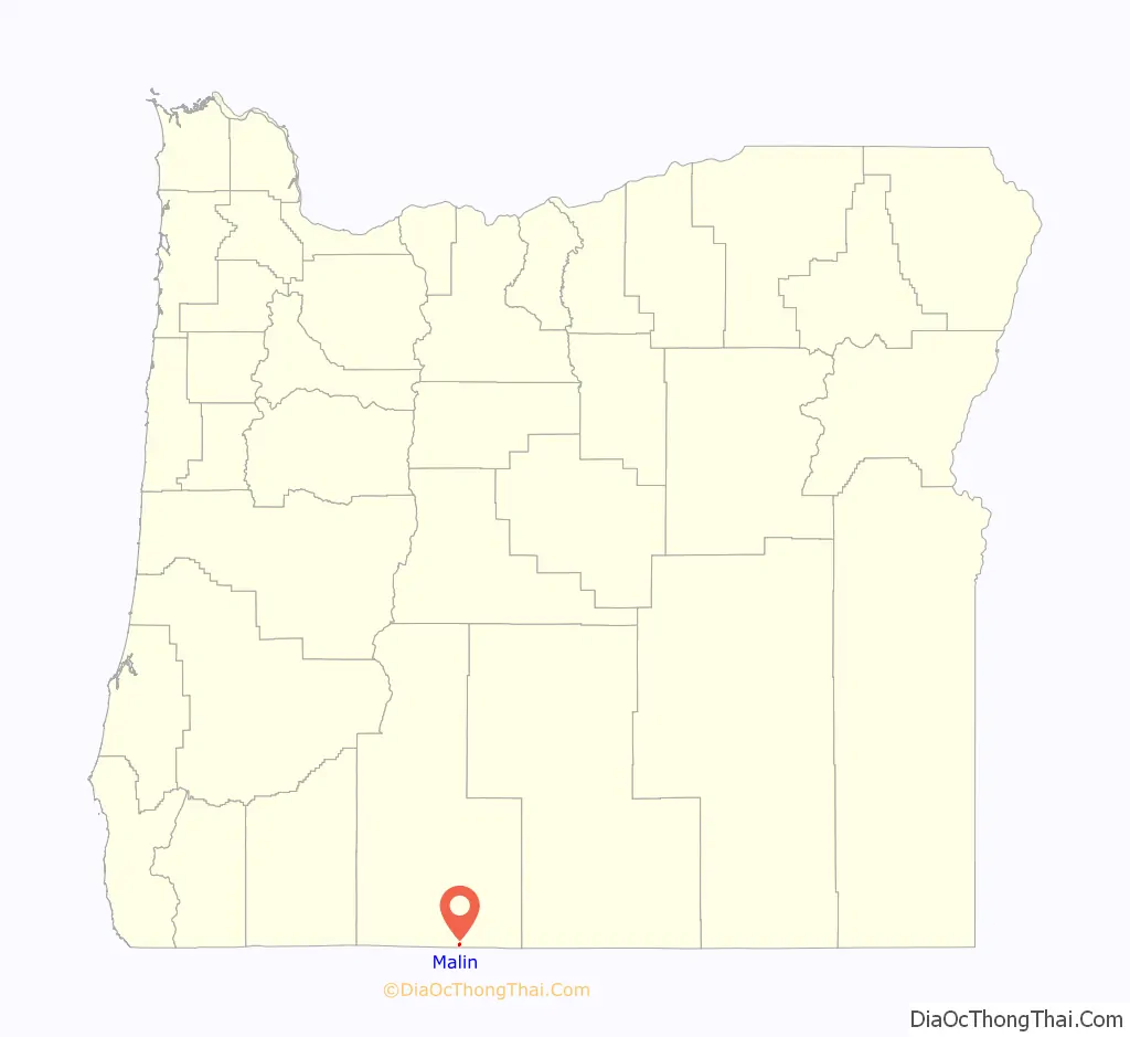
Malin location map. Where is Malin city?
History
According to Lewis A. McArthur, Malin was settled September 30, 1909, on land that was formerly at the bottom of Tule Lake by 65 Bohemian families who named the new town for the Czech town Malin, now part of Kutná Hora. The settlers had found a large horseradish, and Malin is famous for that plant. McArthur also alludes to the discovery of fossils near Malin in 1925. Many surviving descendants of these original Czech families still call Malin home and maintain family farms.
Malin Road Map
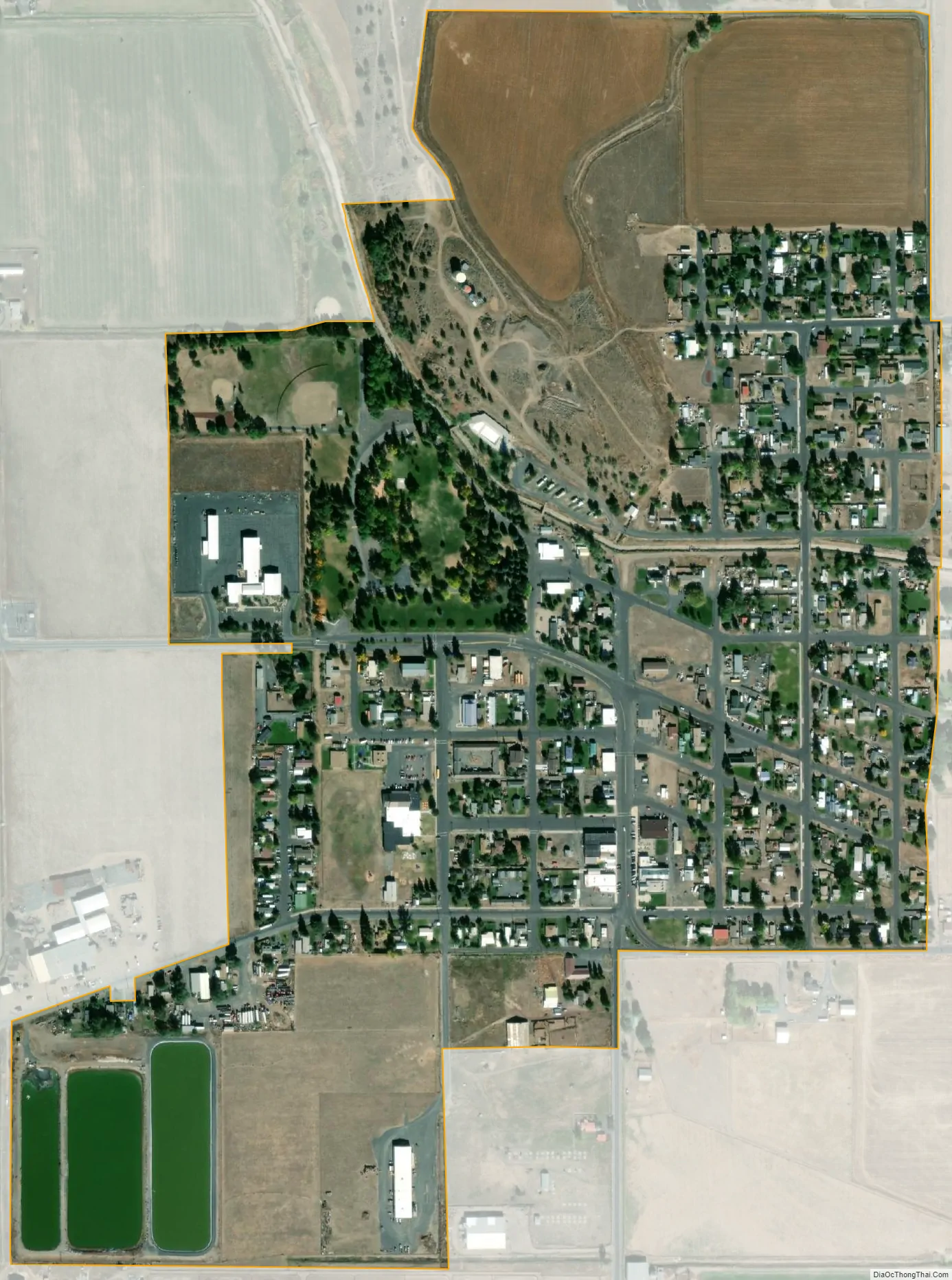
Malin city Satellite Map
Geography
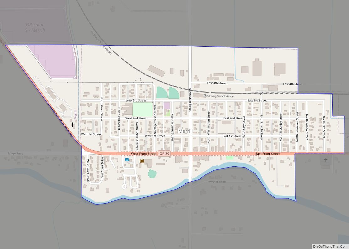
Malin is at an elevation of 4,062 feet (1,238 m) in southern Klamath County near the Oregon–California border. It is along a spur of Oregon Route 39, southeast of Klamath Falls, east of Merrill, and northeast of Tulelake. Lava Beds National Monument is to the south, nearby in California. By highway, the city is 30 miles (48 km) from Klamath Falls and 309 miles (497 km) from Portland.
According to the United States Census Bureau, the city has a total area of 0.50 square miles (1.29 km), all of it land.
See also
Map of Oregon State and its subdivision: Map of other states:- Alabama
- Alaska
- Arizona
- Arkansas
- California
- Colorado
- Connecticut
- Delaware
- District of Columbia
- Florida
- Georgia
- Hawaii
- Idaho
- Illinois
- Indiana
- Iowa
- Kansas
- Kentucky
- Louisiana
- Maine
- Maryland
- Massachusetts
- Michigan
- Minnesota
- Mississippi
- Missouri
- Montana
- Nebraska
- Nevada
- New Hampshire
- New Jersey
- New Mexico
- New York
- North Carolina
- North Dakota
- Ohio
- Oklahoma
- Oregon
- Pennsylvania
- Rhode Island
- South Carolina
- South Dakota
- Tennessee
- Texas
- Utah
- Vermont
- Virginia
- Washington
- West Virginia
- Wisconsin
- Wyoming