Tulelake (/ˈtuːlileɪk/ TOO-lee-layk) is a city in northeastern Siskiyou County, California, United States. The town is named after nearby Tule Lake. Its population is 902 as of the 2020 census, down from 1,010 from the 2010 census.
Tulelake peace officers are authorized by state law, along with cooperation of the state of Oregon, to serve as and be recognized as peace officers within Malin, Oregon, along with the inverse being true for peace officers employed within Malin, wherein they are recognized as peace officers within Tulelake by the California Penal Code.
| Name: | Tulelake city |
|---|---|
| LSAD Code: | 25 |
| LSAD Description: | city (suffix) |
| State: | California |
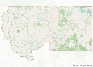
| County: | Siskiyou County |
| Incorporated: | March 1, 1937 |
| Elevation: | 4,035 ft (1,230 m) |
| Total Area: | 0.41 sq mi (1.07 km²) |
| Land Area: | 0.41 sq mi (1.06 km²) |
| Water Area: | 0.00 sq mi (0.01 km²) 0.58% |
| Total Population: | 902 |
| Population Density: | 2,200/sq mi (840/km²) |
| ZIP code: | 96134 |
| Area code: | 530 |
| FIPS code: | 0680686 |
| GNISfeature ID: | 1660040 |
| Website: | www.cityoftulelake.com |
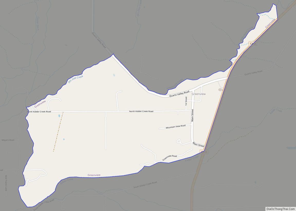
Online Interactive Map
Click on ![]() to view map in "full screen" mode.
to view map in "full screen" mode.
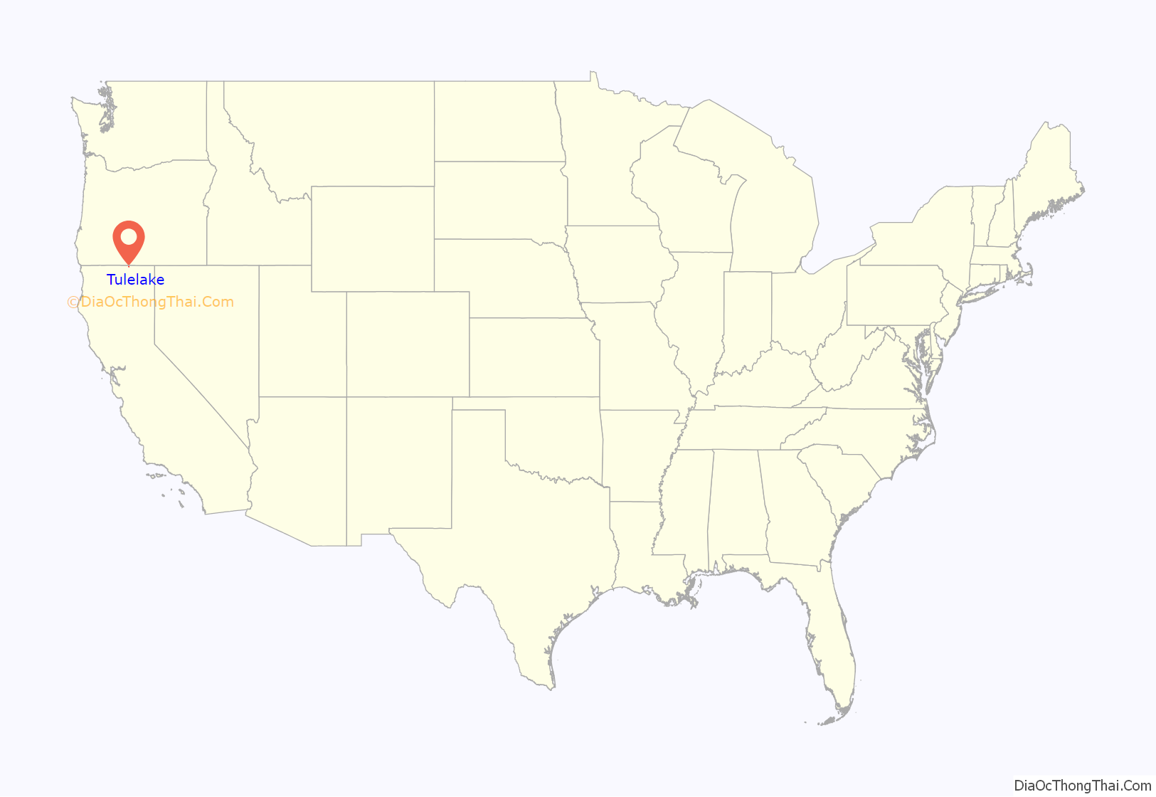
Tulelake location map. Where is Tulelake city?

History
The first public auction of Tulelake land parcels took place on April 15, 1931. Over 100 lots were sold for prices ranging from $65 to $350. In 1937, the city was incorporated. Today there are over 400 housing units.
Two World War II internment camps were located near Tulelake. Camp Tulelake was an Italian and German prisoner-of-war camp to the west of town, located on Hill Road along Sheepy Ridge. Also referred to as Gillems Bluff, Sheepy Ridge is a small range adjacent to Tule Lake. The other internment camp housed nearly 18,000 Japanese Americans and Japanese alien residents and was in operation from May 1942 to March 1946. The Tule Lake War Relocation Center was one of ten Japanese internment camps in the United States. It was located approximately seven miles southeast of Tulelake. Today the western portion of the camp is occupied by the townsite of Newell.
Nightfire Island, an archeological site over 5000 years old, is west of Tule Lake along the shores of Indian Tom Lake.
Tulelake Road Map
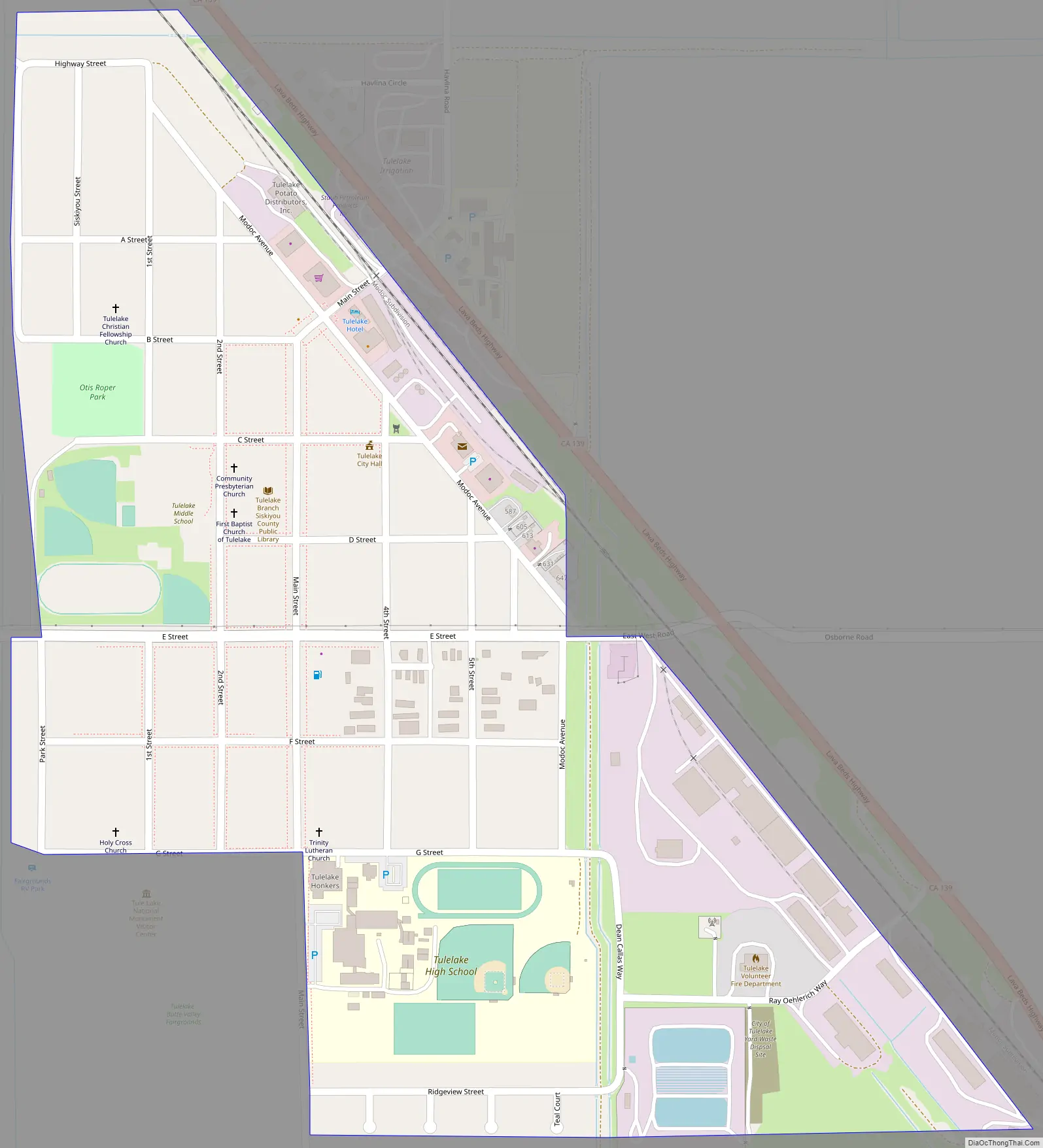
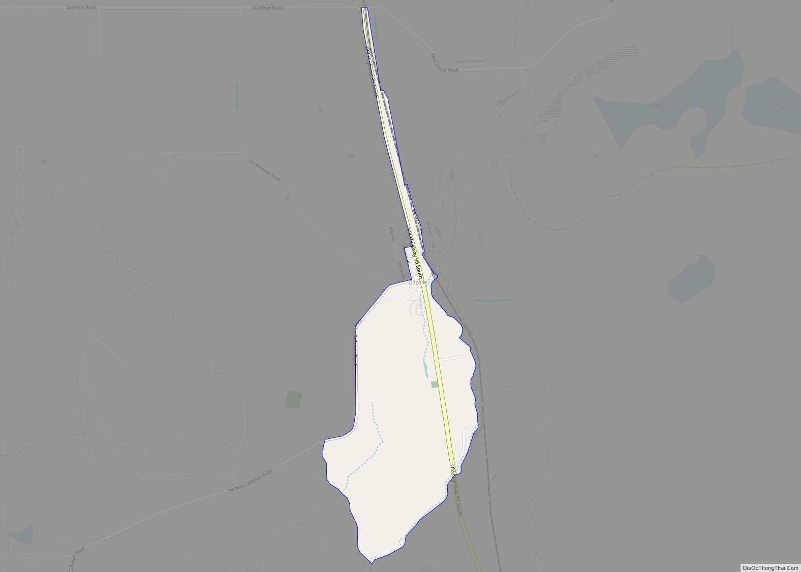
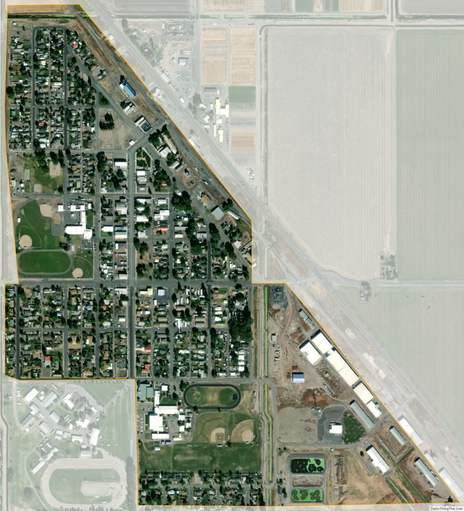
Tulelake city Satellite Map
Geography
Tulelake is located near the Siskiyou-Modoc County line. At the northwest corner of the Great Basin and Range.
According to the United States Census Bureau, the city has a total area of 0.4 square miles (1.0 km), 99.42% of it land and 0.58% of it water.
Climate
Tulelake has a steppe climate (BSk) according to the Köppen climate classification system.
See also
Map of California State and its subdivision:- Alameda
- Alpine
- Amador
- Butte
- Calaveras
- Colusa
- Contra Costa
- Del Norte
- El Dorado
- Fresno
- Glenn
- Humboldt
- Imperial
- Inyo
- Kern
- Kings
- Lake
- Lassen
- Los Angeles
- Madera
- Marin
- Mariposa
- Mendocino
- Merced
- Modoc
- Mono
- Monterey
- Napa
- Nevada
- Orange
- Placer
- Plumas
- Riverside
- Sacramento
- San Benito
- San Bernardino
- San Diego
- San Francisco
- San Joaquin
- San Luis Obispo
- San Mateo
- Santa Barbara
- Santa Clara
- Santa Cruz
- Shasta
- Sierra
- Siskiyou
- Solano
- Sonoma
- Stanislaus
- Sutter
- Tehama
- Trinity
- Tulare
- Tuolumne
- Ventura
- Yolo
- Yuba
- Alabama
- Alaska
- Arizona
- Arkansas
- California
- Colorado
- Connecticut
- Delaware
- District of Columbia
- Florida
- Georgia
- Hawaii
- Idaho
- Illinois
- Indiana
- Iowa
- Kansas
- Kentucky
- Louisiana
- Maine
- Maryland
- Massachusetts
- Michigan
- Minnesota
- Mississippi
- Missouri
- Montana
- Nebraska
- Nevada
- New Hampshire
- New Jersey
- New Mexico
- New York
- North Carolina
- North Dakota
- Ohio
- Oklahoma
- Oregon
- Pennsylvania
- Rhode Island
- South Carolina
- South Dakota
- Tennessee
- Texas
- Utah
- Vermont
- Virginia
- Washington
- West Virginia
- Wisconsin
- Wyoming