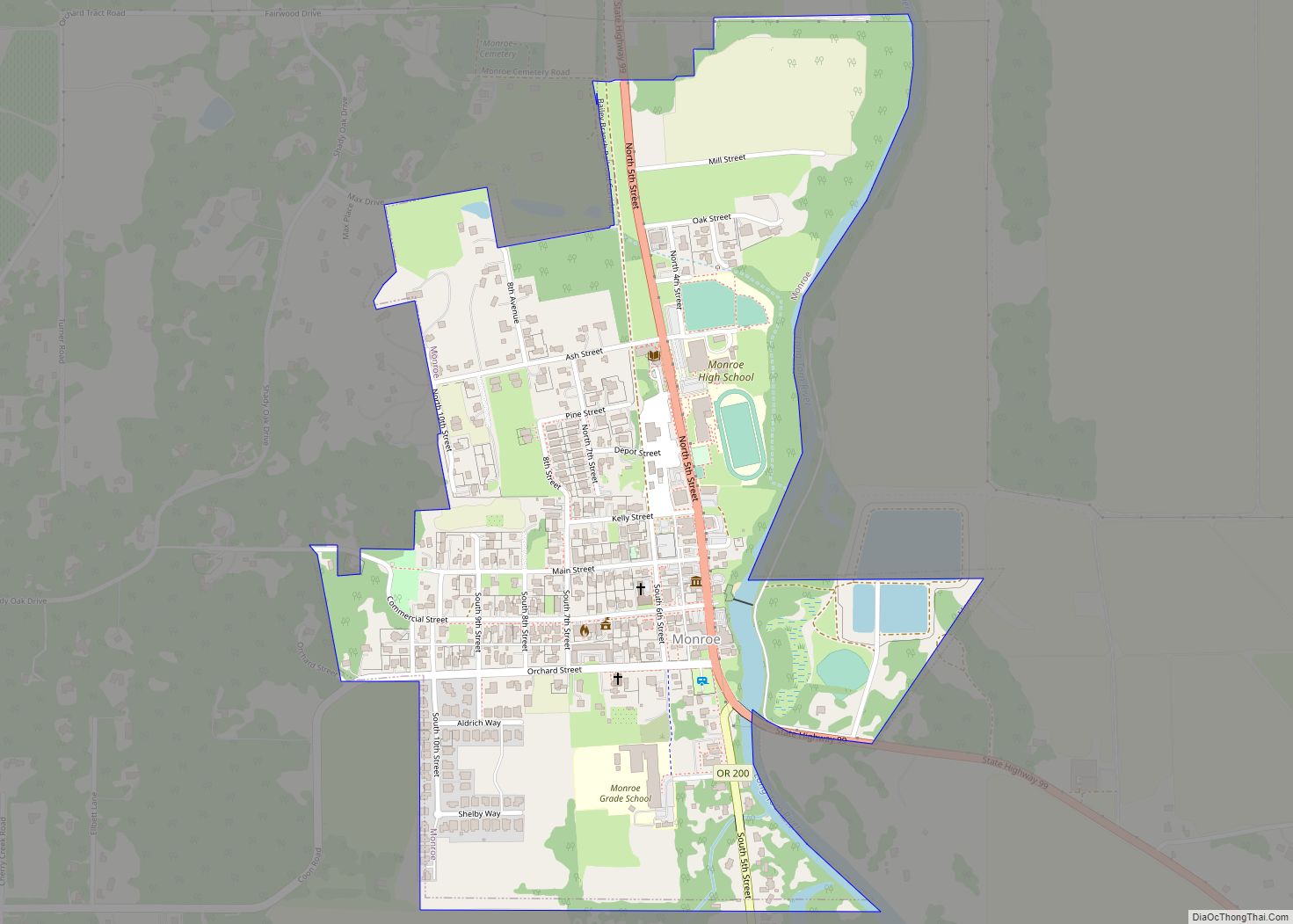
Monroe is a city in Benton County, Oregon, United States. The population was 651 at the 2018 census. It is part of the Corvallis, Oregon Metropolitan Statistical Area. Monroe is located midway between Eugene and Corvallis along Highway 99W and the city experiences a strong friendly rivalry between fans of the Oregon Ducks and the Oregon State Beavers.
| Name: | Monroe city |
|---|---|
| LSAD Code: | 25 |
| LSAD Description: | city (suffix) |
| State: | Oregon |
| County: | Benton County |
| Incorporated: | 1914 |
| Elevation: | 288 ft (88 m) |
| Total Area: | 0.52 sq mi (1.33 km²) |
| Land Area: | 0.52 sq mi (1.33 km²) |
| Water Area: | 0.00 sq mi (0.00 km²) |
| Total Population: | 647 |
| Population Density: | 1,256.31/sq mi (485.38/km²) |
| ZIP code: | 97456 |
| Area code: | 541 |
| FIPS code: | 4149600 |
| GNISfeature ID: | 1124292 |
Online Interactive Map
Click on ![]() to view map in "full screen" mode.
to view map in "full screen" mode.
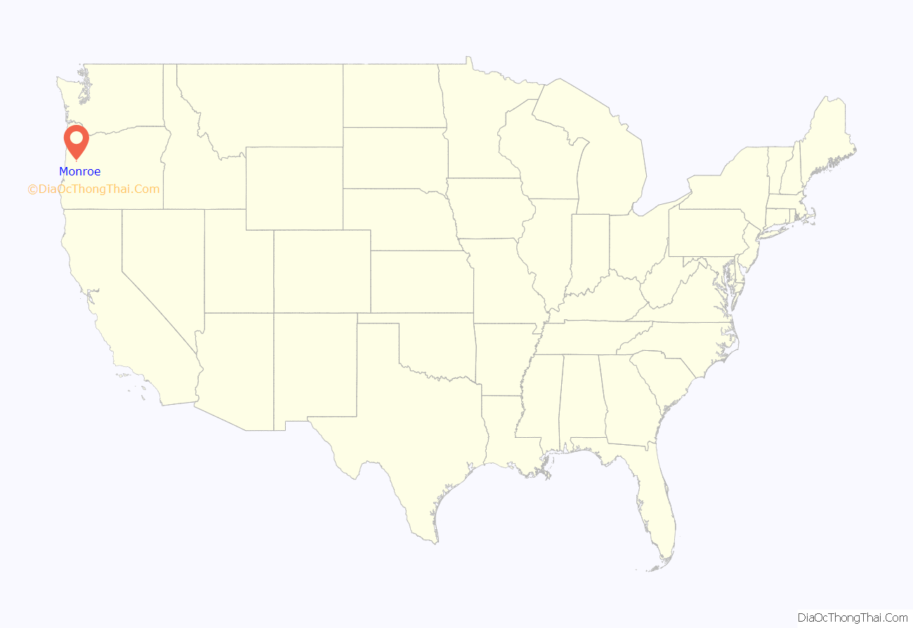
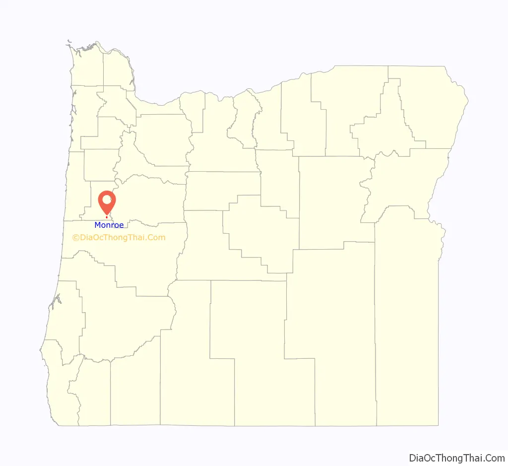
Monroe location map. Where is Monroe city?
History
The city formed around a small sawmill established by Joseph White in 1852. By 1853, there was a small settlement known as White’s Mill. Around the same time, Roland Hinton formed the town of Starr Point north of White’s Mill. In 1857, Starr Point combined with White’s Mill to form the town of Monroe. The city quickly became a center for paddle boat traffic.
It was one of the largest cities in the state for many years. Monroe High School was built in the 1920s. Since the construction of the Interstate 5 highway in the 1960s, the city has turned into a rural farming community. It is the site of the historic Hull-Oakes Lumber Mill, the only steam-powered sawmill operating in the U.S.
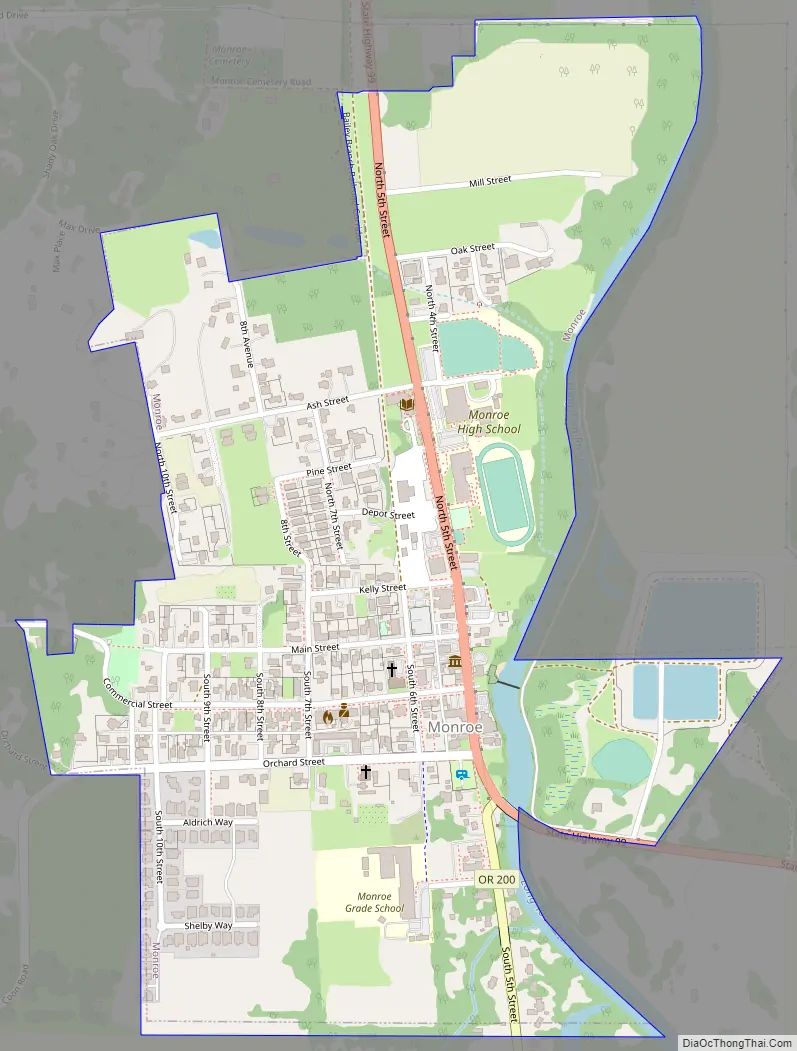
Monroe Road Map
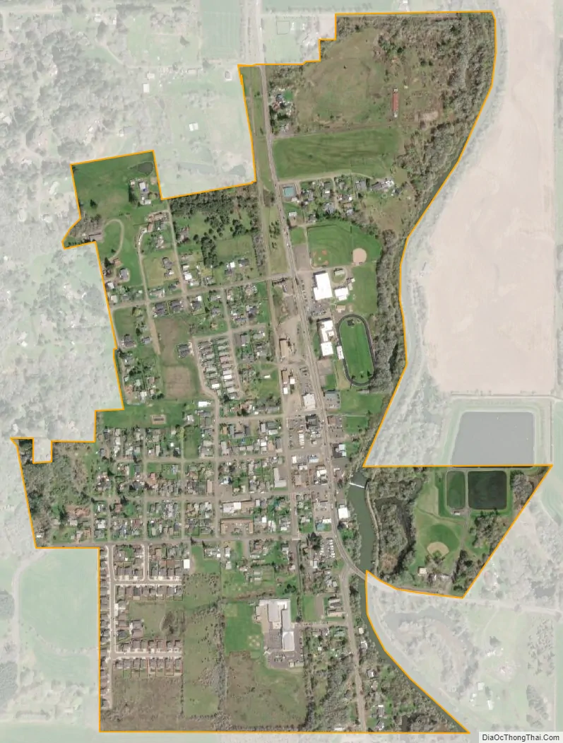
Monroe city Satellite Map
Geography
According to the United States Census Bureau, the city has a total area of 0.51 square miles (1.32 km), all of it land.
See also
Map of Oregon State and its subdivision: Map of other states:- Alabama
- Alaska
- Arizona
- Arkansas
- California
- Colorado
- Connecticut
- Delaware
- District of Columbia
- Florida
- Georgia
- Hawaii
- Idaho
- Illinois
- Indiana
- Iowa
- Kansas
- Kentucky
- Louisiana
- Maine
- Maryland
- Massachusetts
- Michigan
- Minnesota
- Mississippi
- Missouri
- Montana
- Nebraska
- Nevada
- New Hampshire
- New Jersey
- New Mexico
- New York
- North Carolina
- North Dakota
- Ohio
- Oklahoma
- Oregon
- Pennsylvania
- Rhode Island
- South Carolina
- South Dakota
- Tennessee
- Texas
- Utah
- Vermont
- Virginia
- Washington
- West Virginia
- Wisconsin
- Wyoming