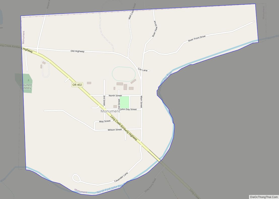
Monument is a city in Grant County, Oregon, United States. The population was 128 at the 2010 census. It is located near the confluence of the North and Middle Forks of the John Day River. Its post office was established in 1874 and named for a nearby mountain or rock formation.
As of 2000, the Monument School District, consisting of the Monument School, had a 7,000-square-foot (650 m) science building for its environmental sciences curriculum, which was paid for by a federal grant of about a $500,000. The program taught students about the ecology of local Ponderosa Pine forest and sagebrush steppe and the water quality and habitat of streams. The school had over 100 students in 1997, but the decline of ranching and timber production caused many families to move, bringing the number of children at the school down to 62 by the year 2000. Annual federal timber payments to the city of Monument declined from $100,000 in 1990 to $5,000 in 2000. With a population of 165 in 2000, Monument had “a grocery store, restaurant, tavern, three churches, a senior center, fire station and the offices of the Columbia Power Electric Cooperative utility.”
| Name: | Monument city |
|---|---|
| LSAD Code: | 25 |
| LSAD Description: | city (suffix) |
| State: | Oregon |
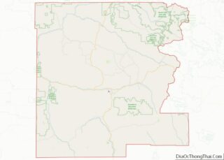
| County: | Grant County |
| Incorporated: | February 6, 1905 |
| Elevation: | 2,000 ft (600 m) |
| Total Area: | 0.51 sq mi (1.32 km²) |
| Land Area: | 0.51 sq mi (1.32 km²) |
| Water Area: | 0.00 sq mi (0.00 km²) |
| Total Population: | 115 |
| Population Density: | 225.93/sq mi (87.27/km²) |
| ZIP code: | 97864 |
| Area code: | 458 and 541 |
| FIPS code: | 4149750 |
| GNISfeature ID: | 1146400 |
| Website: | http://www.cityofmonument.com |
Online Interactive Map
Click on ![]() to view map in "full screen" mode.
to view map in "full screen" mode.
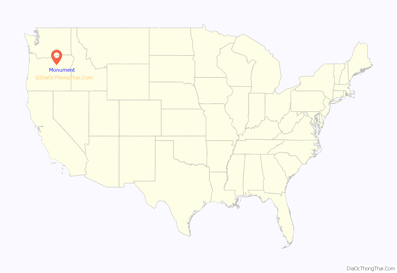
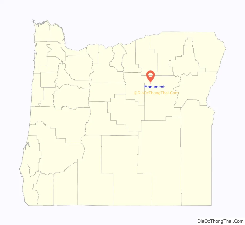
Monument location map. Where is Monument city?
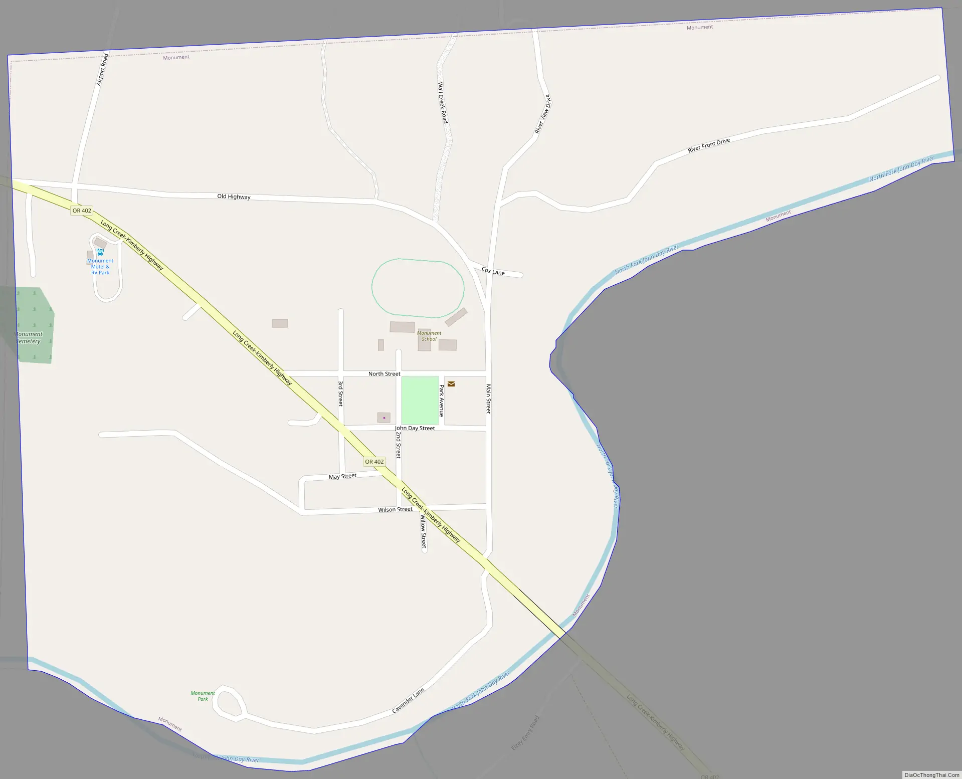
Monument Road Map
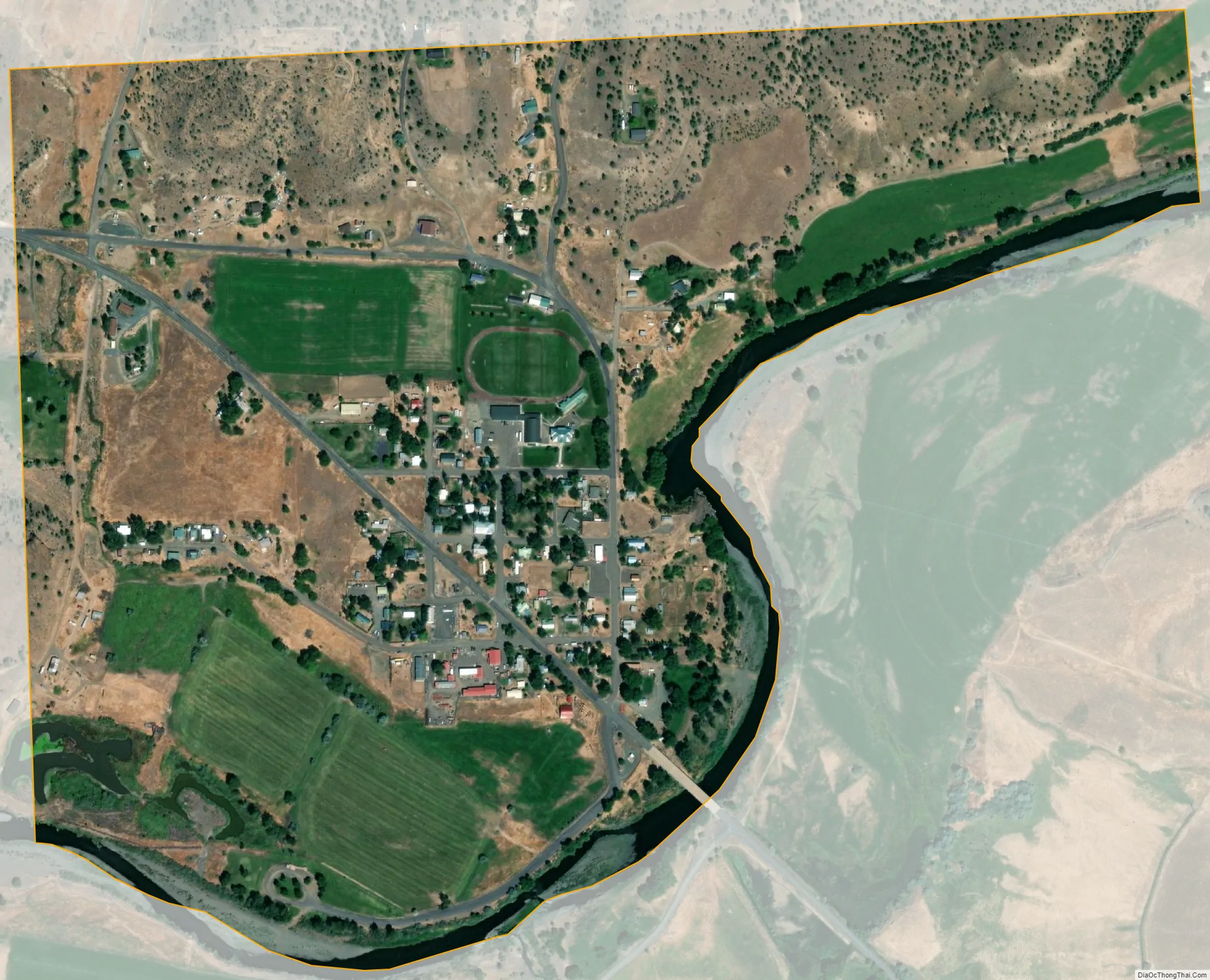
Monument city Satellite Map
Geography
According to the United States Census Bureau, the city has a total area of 0.51 square miles (1.32 km), all land. By road, Monument is 110 miles (180 km) southwest of Pendleton, about 64 miles (103 km) northwest of John Day, and about 156 miles (251 km) northeast of Bend.
See also
Map of Oregon State and its subdivision: Map of other states:- Alabama
- Alaska
- Arizona
- Arkansas
- California
- Colorado
- Connecticut
- Delaware
- District of Columbia
- Florida
- Georgia
- Hawaii
- Idaho
- Illinois
- Indiana
- Iowa
- Kansas
- Kentucky
- Louisiana
- Maine
- Maryland
- Massachusetts
- Michigan
- Minnesota
- Mississippi
- Missouri
- Montana
- Nebraska
- Nevada
- New Hampshire
- New Jersey
- New Mexico
- New York
- North Carolina
- North Dakota
- Ohio
- Oklahoma
- Oregon
- Pennsylvania
- Rhode Island
- South Carolina
- South Dakota
- Tennessee
- Texas
- Utah
- Vermont
- Virginia
- Washington
- West Virginia
- Wisconsin
- Wyoming