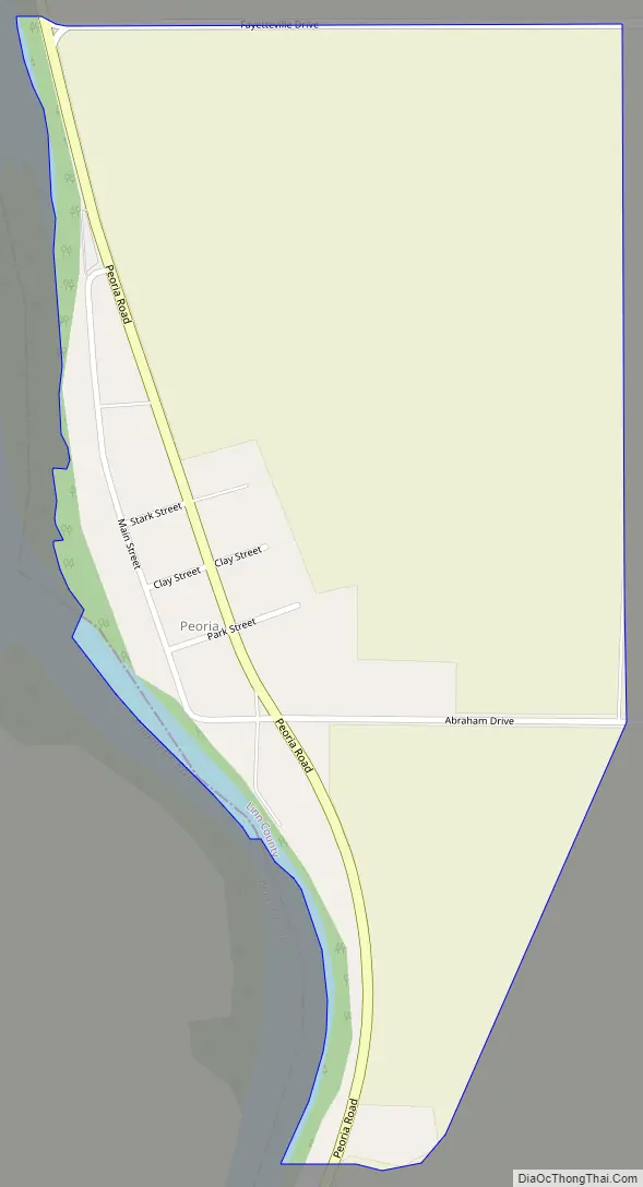
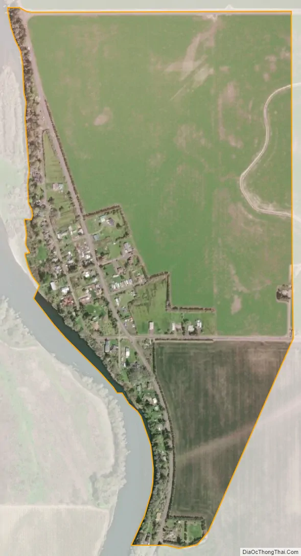
Peoria is an unincorporated community and census-designated place (CDP) in Linn County, Oregon, United States. It is on the right bank of the Willamette River at river mile 141 between Eugene and Corvallis. Lacking stores and services, it is a cluster of houses plus a county park along Peoria Road, about 8 miles (13 km) south of Oregon Route 34 and 12 miles (19 km) north of Harrisburg. As of the 2010 census, the population was 94.
| Name: | Peoria CDP |
|---|---|
| LSAD Code: | 57 |
| LSAD Description: | CDP (suffix) |
| State: | Oregon |
| County: | Linn County |
| Elevation: | 262 ft (80 m) |
| Total Area: | 0.47 sq mi (1.23 km²) |
| Land Area: | 0.47 sq mi (1.23 km²) |
| Water Area: | 0.00 sq mi (0.00 km²) |
| Total Population: | 103 |
| Population Density: | 216.84/sq mi (83.72/km²) |
| Area code: | 541 |
| FIPS code: | 4157300 |
| GNISfeature ID: | 1125295 |
Online Interactive Map
Click on ![]() to view map in "full screen" mode.
to view map in "full screen" mode.
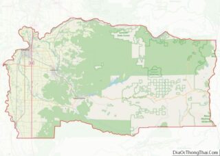
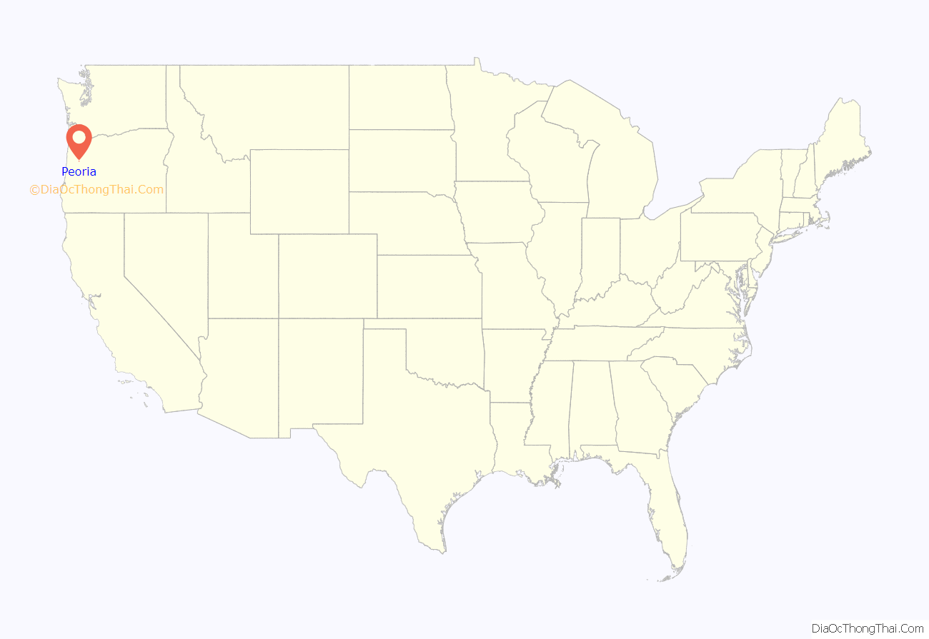
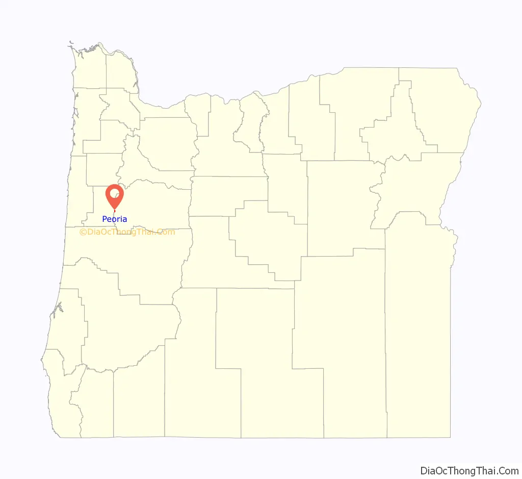
Peoria location map. Where is Peoria CDP?
History
Peoria, named for Peoria, Illinois, was first settled in 1851 by H. A. McCartney. By 1875, the community was prosperous enough to have four grain warehouses and a school with 60 pupils. However, after the Oregon and California Railroad established a line through Shedd and Halsey further east, business in Peoria declined.
A post office in this vicinity opened in 1855 under the name “Burlington”. The name was changed to “Peoria” in 1857, and the office closed in 1900. Through the early decades of the 20th century, a river ferry operated out of Peoria.
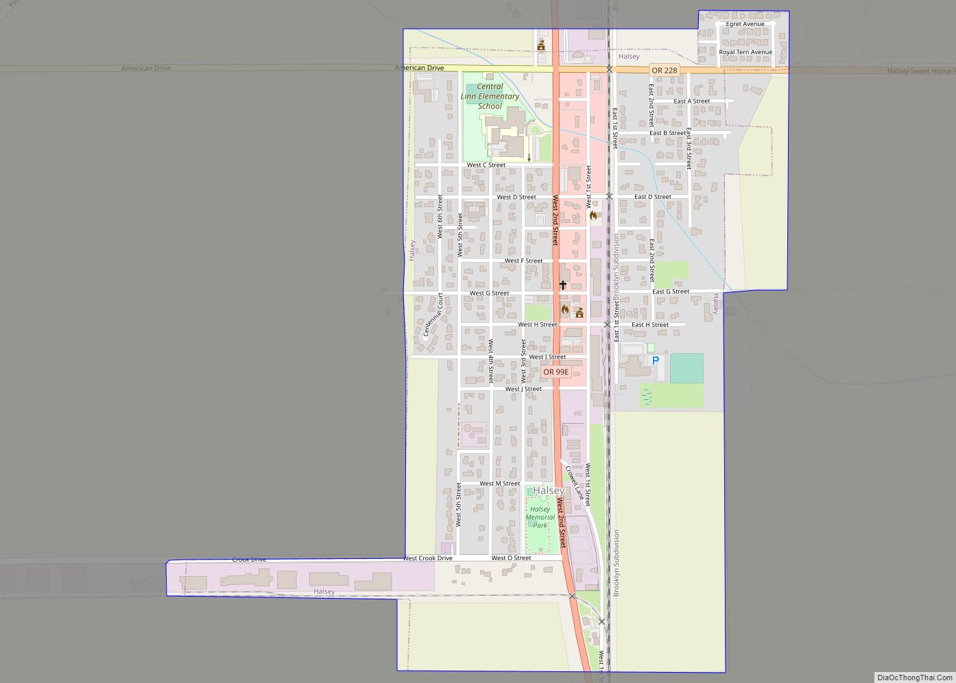
Peoria Road Map
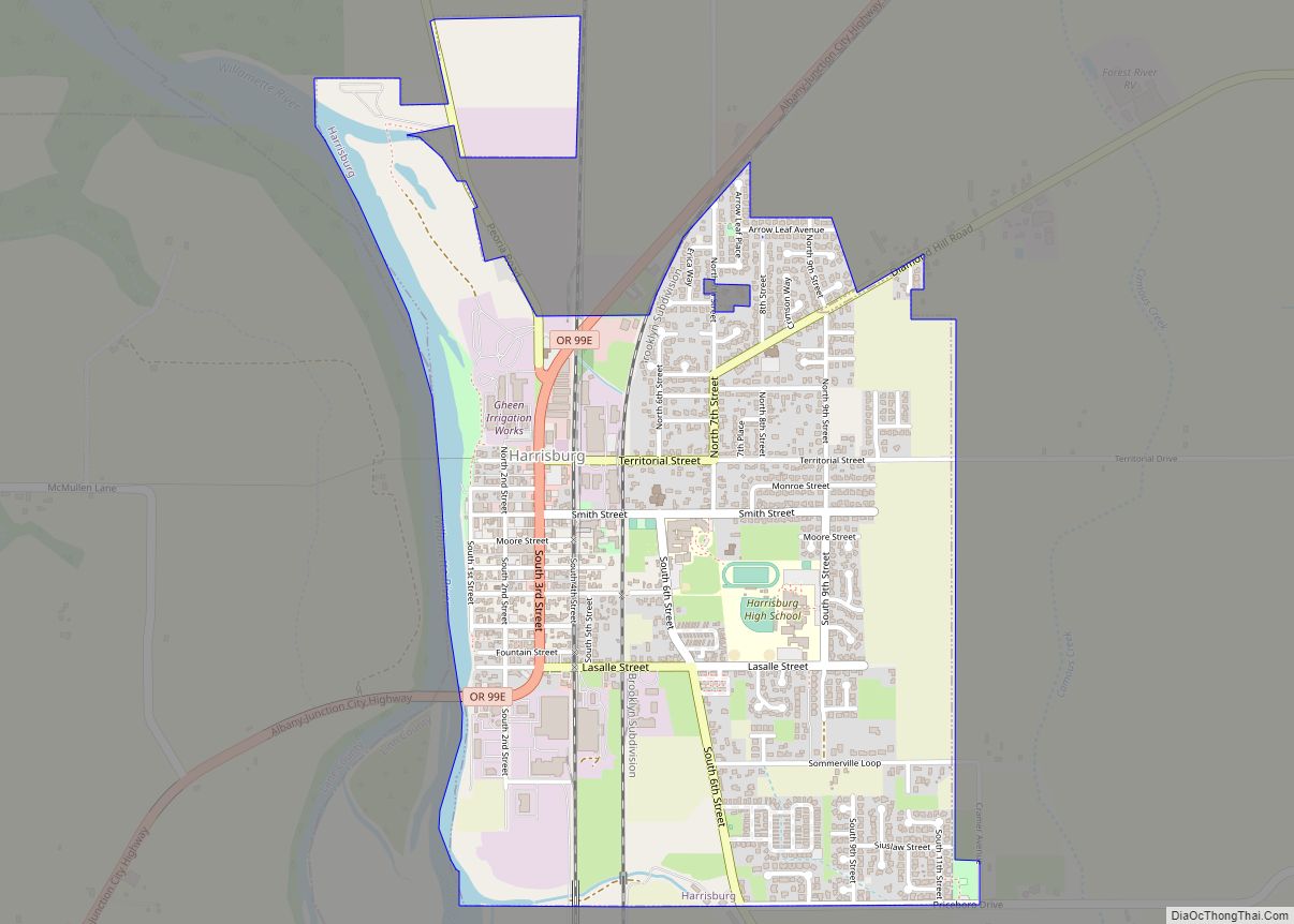
Peoria city Satellite Map
See also
Map of Oregon State and its subdivision: Map of other states:- Alabama
- Alaska
- Arizona
- Arkansas
- California
- Colorado
- Connecticut
- Delaware
- District of Columbia
- Florida
- Georgia
- Hawaii
- Idaho
- Illinois
- Indiana
- Iowa
- Kansas
- Kentucky
- Louisiana
- Maine
- Maryland
- Massachusetts
- Michigan
- Minnesota
- Mississippi
- Missouri
- Montana
- Nebraska
- Nevada
- New Hampshire
- New Jersey
- New Mexico
- New York
- North Carolina
- North Dakota
- Ohio
- Oklahoma
- Oregon
- Pennsylvania
- Rhode Island
- South Carolina
- South Dakota
- Tennessee
- Texas
- Utah
- Vermont
- Virginia
- Washington
- West Virginia
- Wisconsin
- Wyoming