Redmond is a city in Deschutes County, Oregon, United States. Incorporated on July 6, 1910, the city is on the eastern side of Oregon’s Cascade Range, in the High Desert in Central Oregon. From Redmond there is access to recreational opportunities. Redmond is a full-service municipality and one of the fastest-growing industrial and residential communities in Oregon. Redmond had a population of 32,421 in 2019, and the population continues to grow at a rate of about 6.7 percent each year.
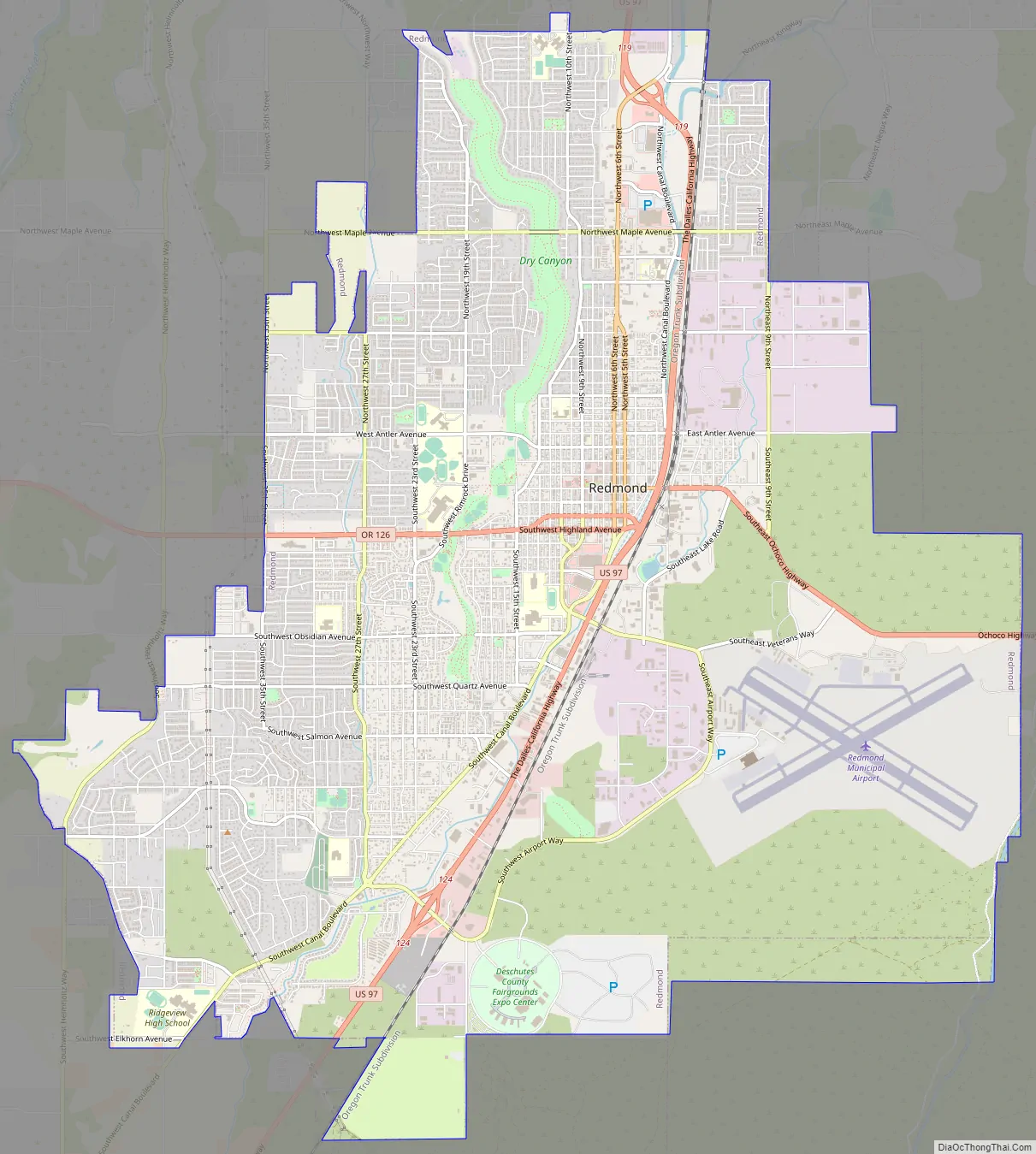
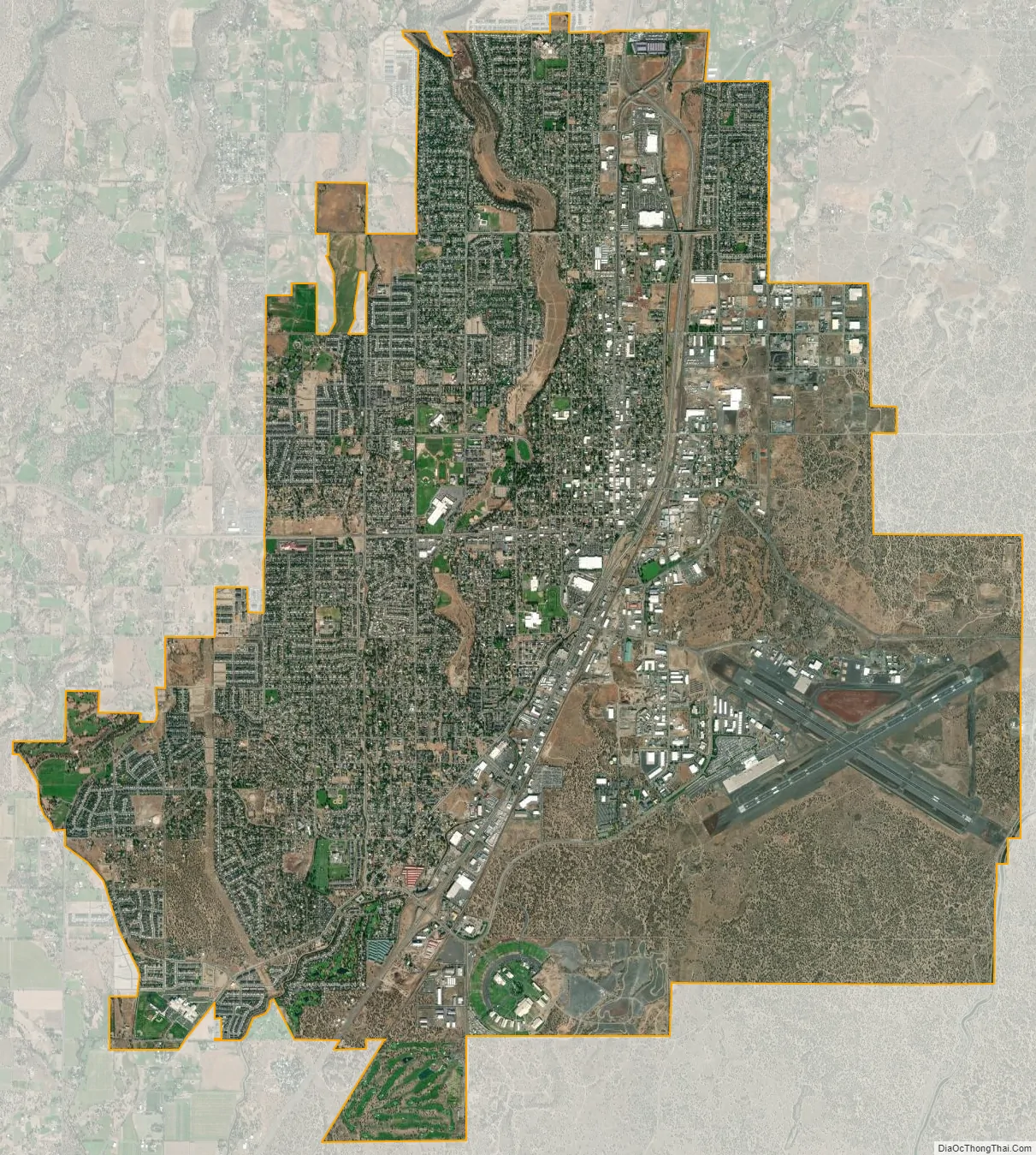
The city encompasses 15.5 square miles (40 km) and is on a plateau, at an elevation of 3,077 feet (938 m). Redmond is 15 miles (24 km) north of Bend—the county seat of Deschutes County—144 miles (232 km) from Portland, 129 miles (208 km) from Salem—the capital of Oregon—and 126 miles (203 km) from Eugene.
| Name: | Redmond city |
|---|---|
| LSAD Code: | 25 |
| LSAD Description: | city (suffix) |
| State: | Oregon |
| County: | Deschutes County |
| Incorporated: | 1910 |
| Elevation: | 3,077 ft (938 m) |
| Land Area: | 18.36 sq mi (47.55 km²) |
| Water Area: | 0.00 sq mi (0.00 km²) |
| Population Density: | 1,812.21/sq mi (699.70/km²) |
| ZIP code: | 97756 |
| Area code: | 541 |
| FIPS code: | 4161200 |
| GNISfeature ID: | 1125912 |
| Website: | www.ci.redmond.or.us |
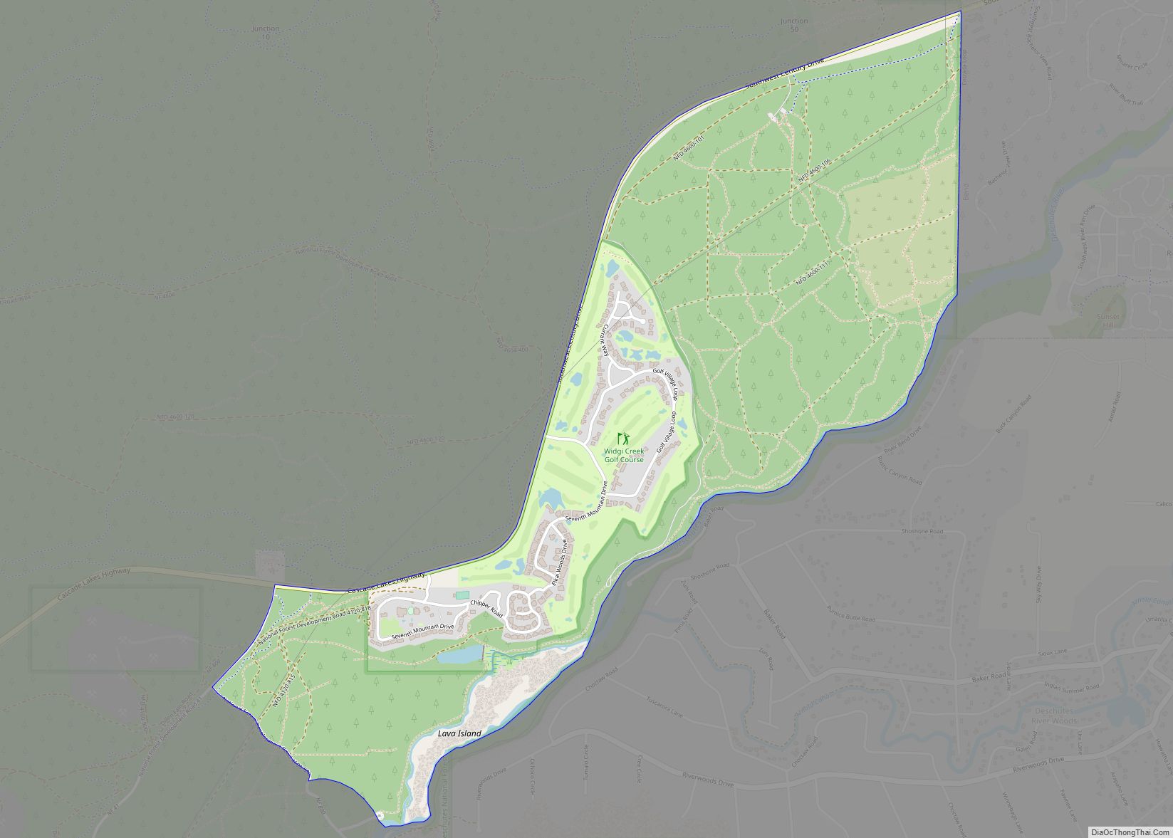
Online Interactive Map
Click on ![]() to view map in "full screen" mode.
to view map in "full screen" mode.
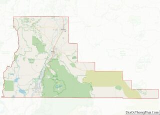
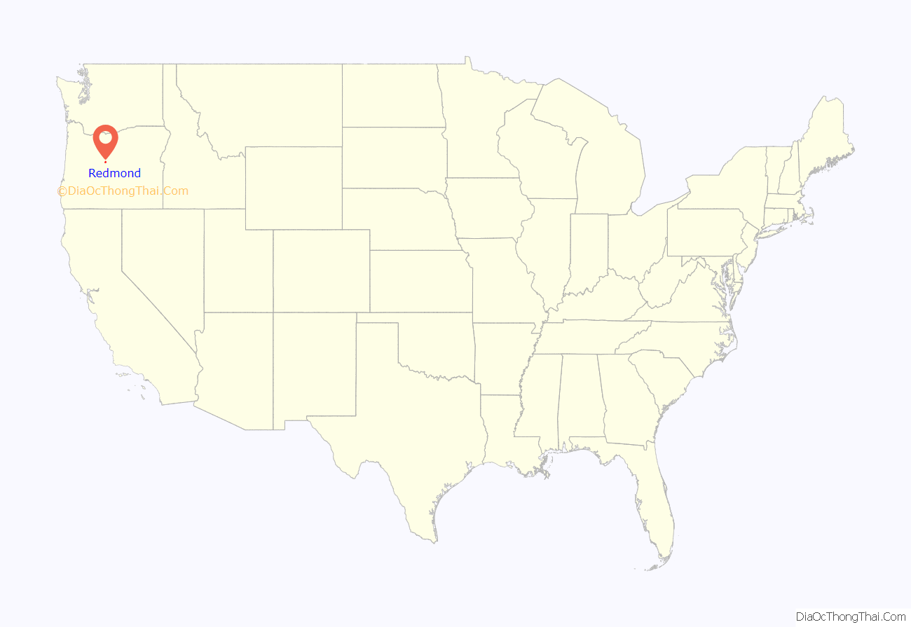
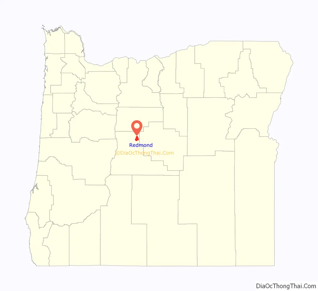
Redmond location map. Where is Redmond city?
History
Redmond was named after Frank T. Redmond, who settled in the area in 1905. It was platted in 1906 by a company which would become part of Central Oregon Irrigation District building a canal. Electrification and the Oregon Trunk Railway reached Redmond in 1911. The rail link opened markets for farmers and merchants. By 1930, the town had grown to 1,000 and by 1940 had nearly doubled. In the 1940s, Redmond was a U.S. Army Air base and commercial air service was established at Roberts Field after World War II. From the 1950s through most of the 1980s, the population remained relatively static, growing slowly around a small commercial/retail center and manufacturing industry. However, during the 1990s, the population began to grow along with most of Deschutes County. Between 2000 and 2006, Redmond’s population grew 74.3%, placing it among Oregon’s fastest-growing cities each year. This growth continued through 2006, increasing the population to 23,500. Its growth is fueled by employment and a lower cost of living.
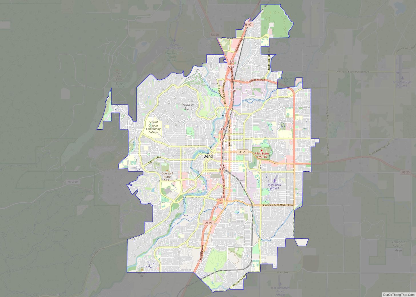
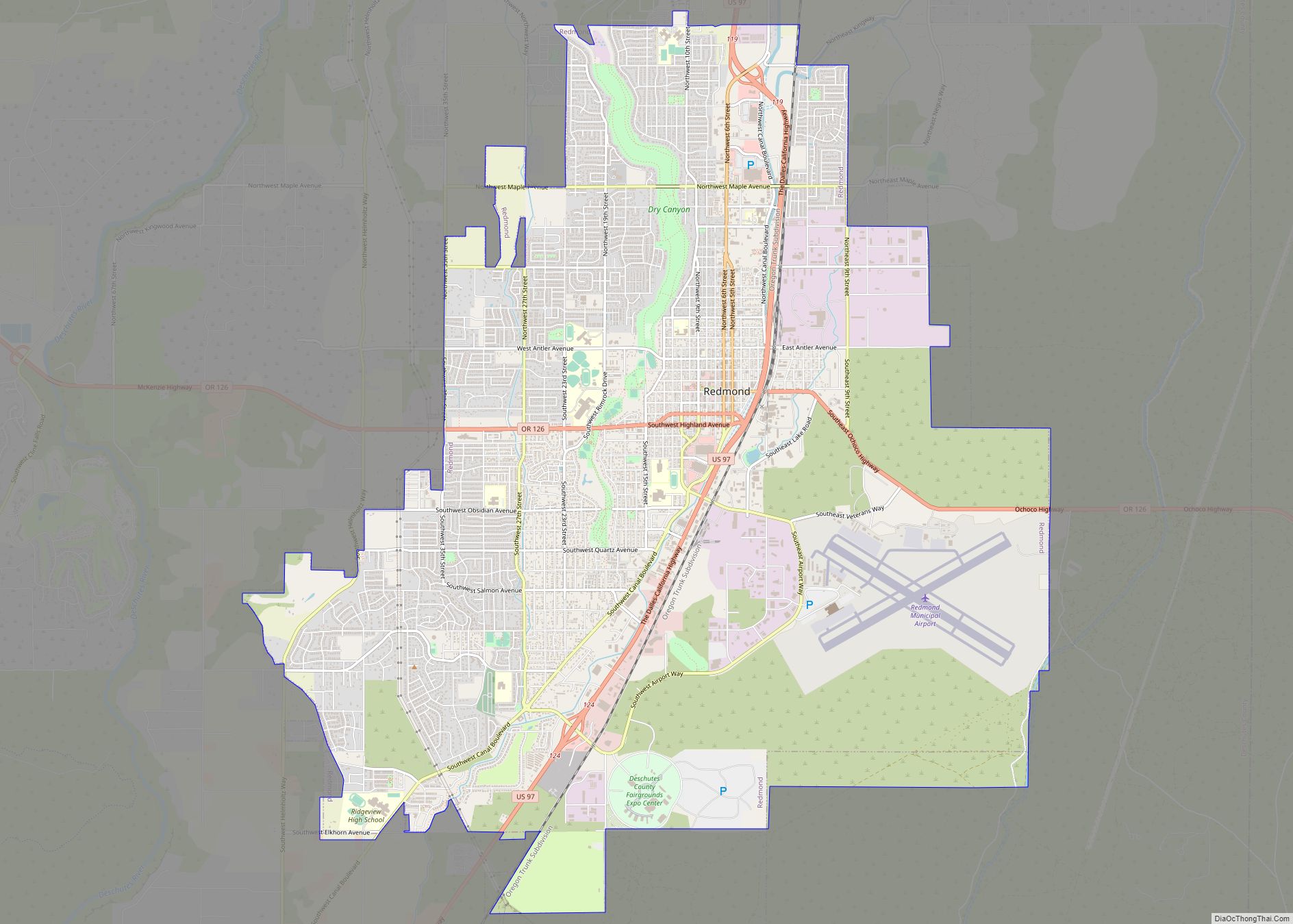
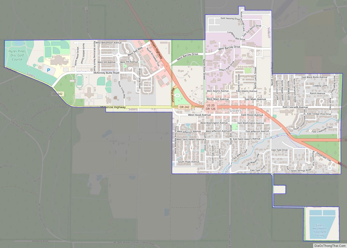
Redmond Road Map
Redmond city Satellite Map
Geography
The Horse Lava Tube System enters the city at the point of the Redmond Caves. The lava flow that created the system continues into the Redmond Canyon to Crooked River Ranch.
See also
Map of Oregon State and its subdivision: Map of other states:- Alabama
- Alaska
- Arizona
- Arkansas
- California
- Colorado
- Connecticut
- Delaware
- District of Columbia
- Florida
- Georgia
- Hawaii
- Idaho
- Illinois
- Indiana
- Iowa
- Kansas
- Kentucky
- Louisiana
- Maine
- Maryland
- Massachusetts
- Michigan
- Minnesota
- Mississippi
- Missouri
- Montana
- Nebraska
- Nevada
- New Hampshire
- New Jersey
- New Mexico
- New York
- North Carolina
- North Dakota
- Ohio
- Oklahoma
- Oregon
- Pennsylvania
- Rhode Island
- South Carolina
- South Dakota
- Tennessee
- Texas
- Utah
- Vermont
- Virginia
- Washington
- West Virginia
- Wisconsin
- Wyoming