Seaside is a city in Clatsop County, Oregon, United States, on the coast of the Pacific Ocean. The name Seaside is derived from Seaside House, a historic summer resort built in the 1870s by railroad magnate Ben Holladay. The city’s population was 6,457 at the 2010 census.
| Name: | Seaside city |
|---|---|
| LSAD Code: | 25 |
| LSAD Description: | city (suffix) |
| State: | Oregon |
| County: | Clatsop County |
| Incorporated: | 1899 |
| Elevation: | 17 ft (5.2 m) |
| Total Area: | 4.05 sq mi (10.49 km²) |
| Land Area: | 3.89 sq mi (10.09 km²) |
| Water Area: | 0.16 sq mi (0.41 km²) |
| Total Population: | 7,115 |
| Population Density: | 1,827.17/sq mi (705.40/km²) |
| ZIP code: | 97138 |
| Area code: | 503 and 971 |
| FIPS code: | 4165950 |
| GNISfeature ID: | 1136735 |
| Website: | www.cityofseaside.us |
Online Interactive Map
Click on ![]() to view map in "full screen" mode.
to view map in "full screen" mode.
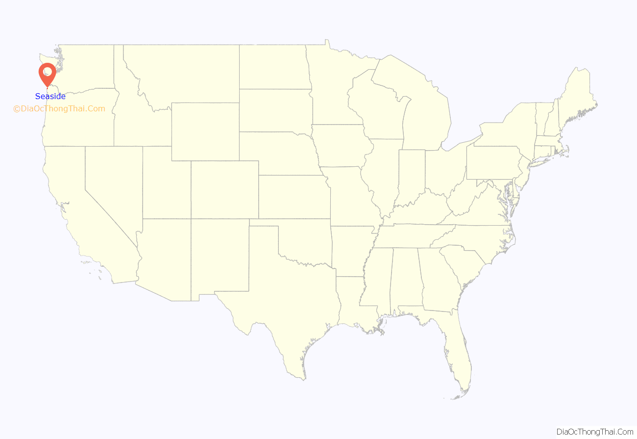
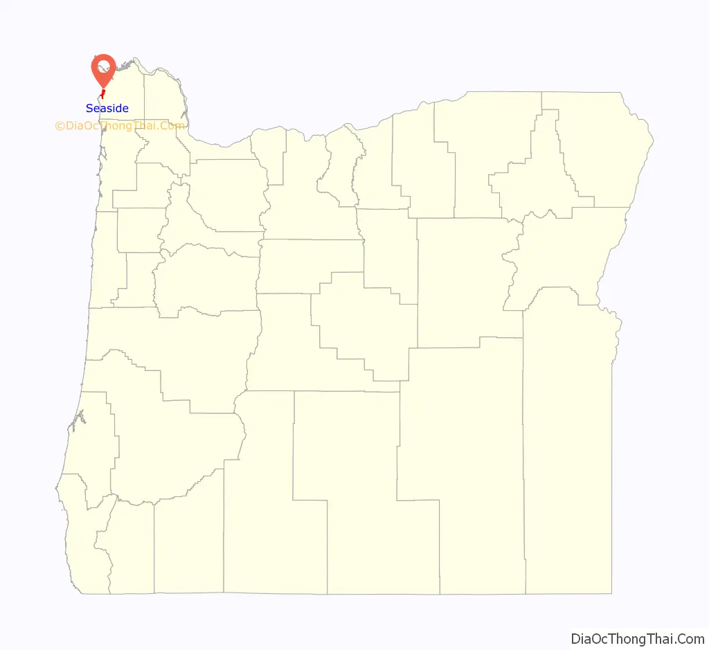
Seaside location map. Where is Seaside city?
History
The Clatsop were a historic Native American tribe that had a village named Ne-co-tat (in their Chinook language) in this area. Indigenous peoples had long inhabited the coastal area.
About January 1, 1806, a group of men from the Lewis and Clark Expedition built a salt-making cairn at the site later developed as Seaside. The city was not incorporated until February 17, 1899, when coastal resort areas were being settled. It is about 79 miles (127 km) by car northwest of Portland, Oregon, a major population center.
In 1912, Alexandre Gilbert (1843–1932) was elected Mayor of Seaside. Gilbert was a French immigrant, a veteran of the Franco Prussian War (1870-1871). After living in San Francisco, California and Astoria, Oregon, Gilbert moved to Seaside where he had a beach cottage (built in 1885). Gilbert was a real estate developer who donated land to the City of Seaside for its one-and-a-half-mile-long Promenade, or “Prom,” along the Pacific beach.
In 1892, he added to his beach cottage. Nearly 100 years later, what was known as the Gilbert House was operated commercially as the Gilbert Inn since the mid-1980s. Both it and Gilbert’s eponymous “Gilbert Block” office building on Broadway still survive.
Gilbert died at home in Seaside and is interred in Ocean View Abbey Mausoleum in Warrenton.
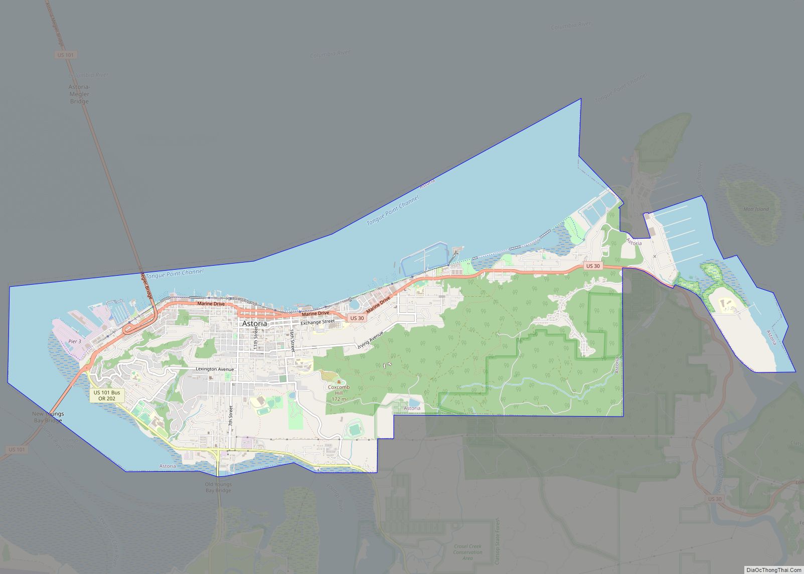
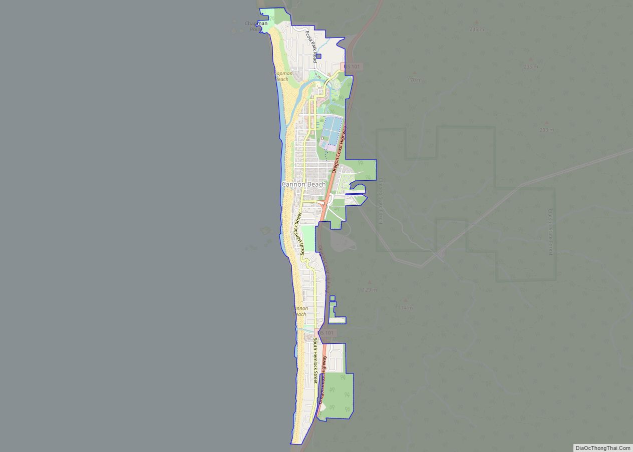
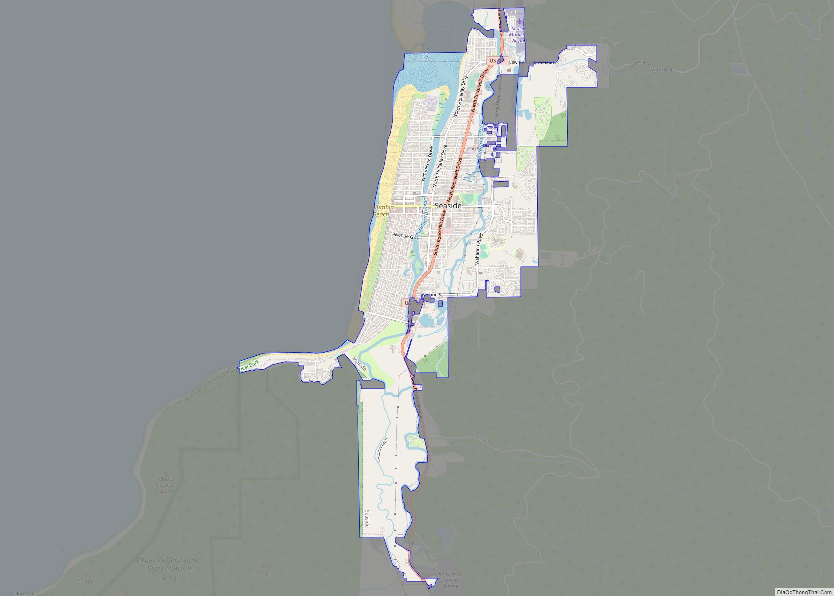
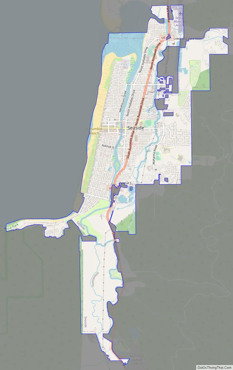
Seaside Road Map
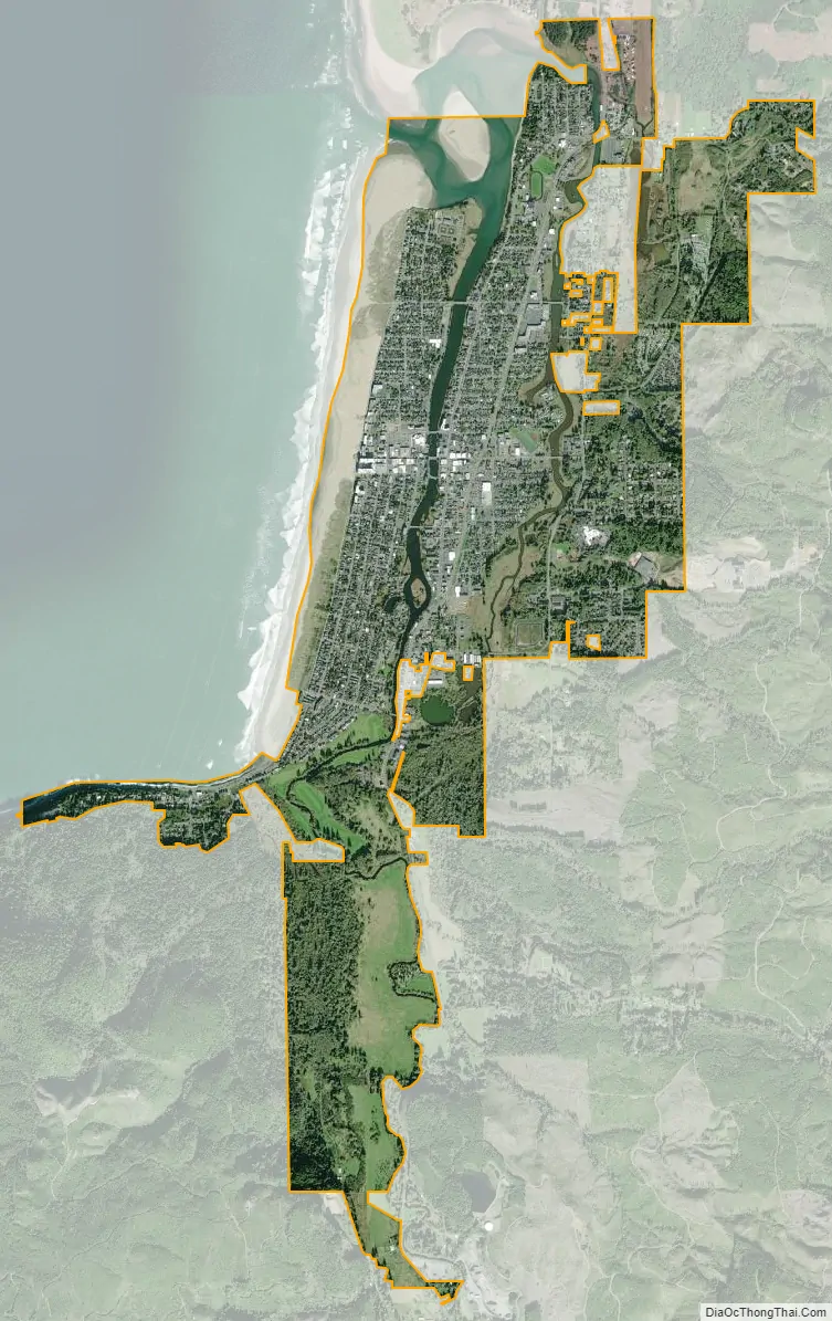
Seaside city Satellite Map
Geography
According to the United States Census Bureau, the city has a total area of 4.14 square miles (10.72 km), of which 3.94 square miles (10.20 km) is land and 0.20 square miles (0.52 km) is water.
Seaside lies on the edge of the Pacific Ocean, at the southern end of the Clatsop Plains, about 29 km (18 mi) south of where the Columbia River empties into the Pacific. The city is developed on both sides of the Necanicum River, which flows to the ocean at the city’s northern edge. Tillamook Head towers over the southern edge of the city.
The geography associated with the gradual slope of the broad sandy beaches of Clatsop Spit provide excellent conditions for the formation of beds of millions of Pacific razor clams annually. The razor clams attract thousands of visitors to Seaside Beach each year. Waves attract surfers all year round from the challenging point break off the tip of Tillamook Head to the sandy shores at “the cove” parking lot at Ocean Vista Drive.
Climate
Seaside has an oceanic climate (Köppen Cfb), typical Pacific Northwest climate, bordering very closely on a warm-summer Mediterranean climate (Köppen Csb). It receives rainy winters and mild-to-cool summers. Mean high temperature in the warmest month, August, is roughly 68 °F (20 °C). The warmest heatwaves, however, occur in September. The hottest day on record was 95 °F (35 °C), which occurred on both September 23, 1943 and September 24, 1974. The coldest temperature ever recorded was 5 °F (−15 °C) which occurred on December 8, 1972.
Tsunami inundation zone
Part of Seaside is located in a tsunami inundation zone. Among other preparation, the City of Seaside has embarked on a program in which residents above the zone are asked to volunteer to store within their homes barrels of medical supplies, water purification systems, emergency rations, tarps, and radios, with each barrel having enough supplies to last 20 individuals for at least 3 days. As of January 2017, there are 119 barrels within volunteer households and a waiting list of interested households.
Seismologists estimate that there is a one in three chance that Seaside will be hit by an earthquake and tsunami within the next fifty years. On Tues. Nov. 8, 2016, Seaside citizens voted 65% to 35% to issue $99.7 million in bonds to move the remaining three schools out of the tsunami inundation zone.
See also
Map of Oregon State and its subdivision: Map of other states:- Alabama
- Alaska
- Arizona
- Arkansas
- California
- Colorado
- Connecticut
- Delaware
- District of Columbia
- Florida
- Georgia
- Hawaii
- Idaho
- Illinois
- Indiana
- Iowa
- Kansas
- Kentucky
- Louisiana
- Maine
- Maryland
- Massachusetts
- Michigan
- Minnesota
- Mississippi
- Missouri
- Montana
- Nebraska
- Nevada
- New Hampshire
- New Jersey
- New Mexico
- New York
- North Carolina
- North Dakota
- Ohio
- Oklahoma
- Oregon
- Pennsylvania
- Rhode Island
- South Carolina
- South Dakota
- Tennessee
- Texas
- Utah
- Vermont
- Virginia
- Washington
- West Virginia
- Wisconsin
- Wyoming