Hockinson is a census-designated place (CDP) in Clark County, Washington, United States. The population was 4,771 at the 2010 census.
Based on per capita income, one of the more reliable measures of affluence, Hockinson ranks 86th of 522 areas in the state of Washington to be ranked.
| Name: | Hockinson CDP |
|---|---|
| LSAD Code: | 57 |
| LSAD Description: | CDP (suffix) |
| State: | Washington |
| County: | Clark County |
| Elevation: | 308 ft (94 m) |
| Total Area: | 14.0 sq mi (36.3 km²) |
| Land Area: | 14.0 sq mi (36.3 km²) |
| Water Area: | 0.0 sq mi (0.0 km²) |
| Total Population: | 4,771 |
| Population Density: | 341/sq mi (131.5/km²) |
| FIPS code: | 5331530 |
| GNISfeature ID: | 1520828 |
Online Interactive Map
Click on ![]() to view map in "full screen" mode.
to view map in "full screen" mode.
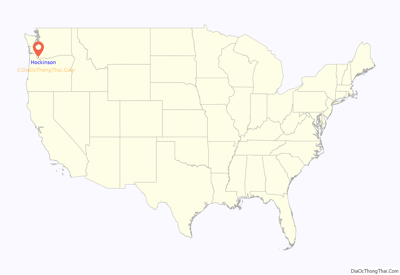
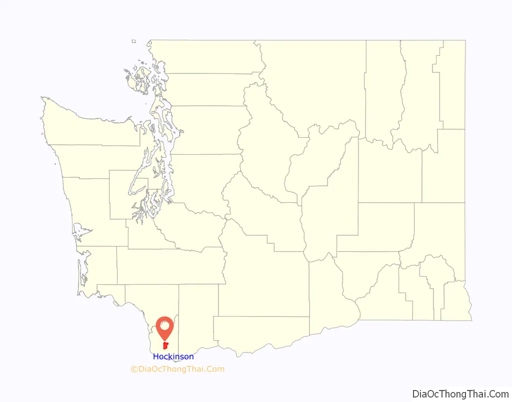
Hockinson location map. Where is Hockinson CDP?
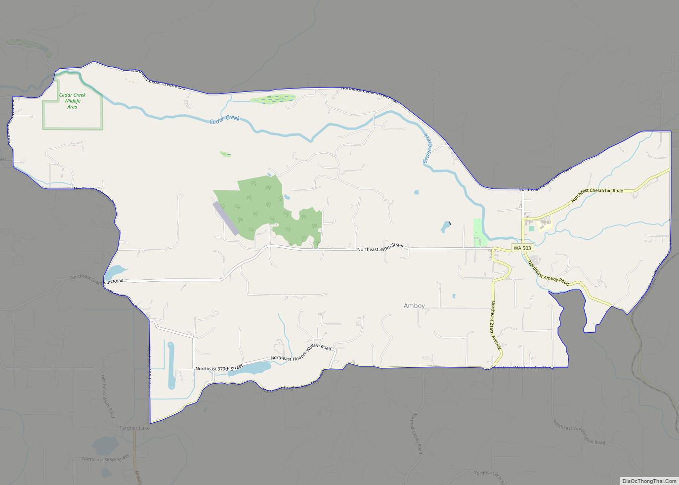
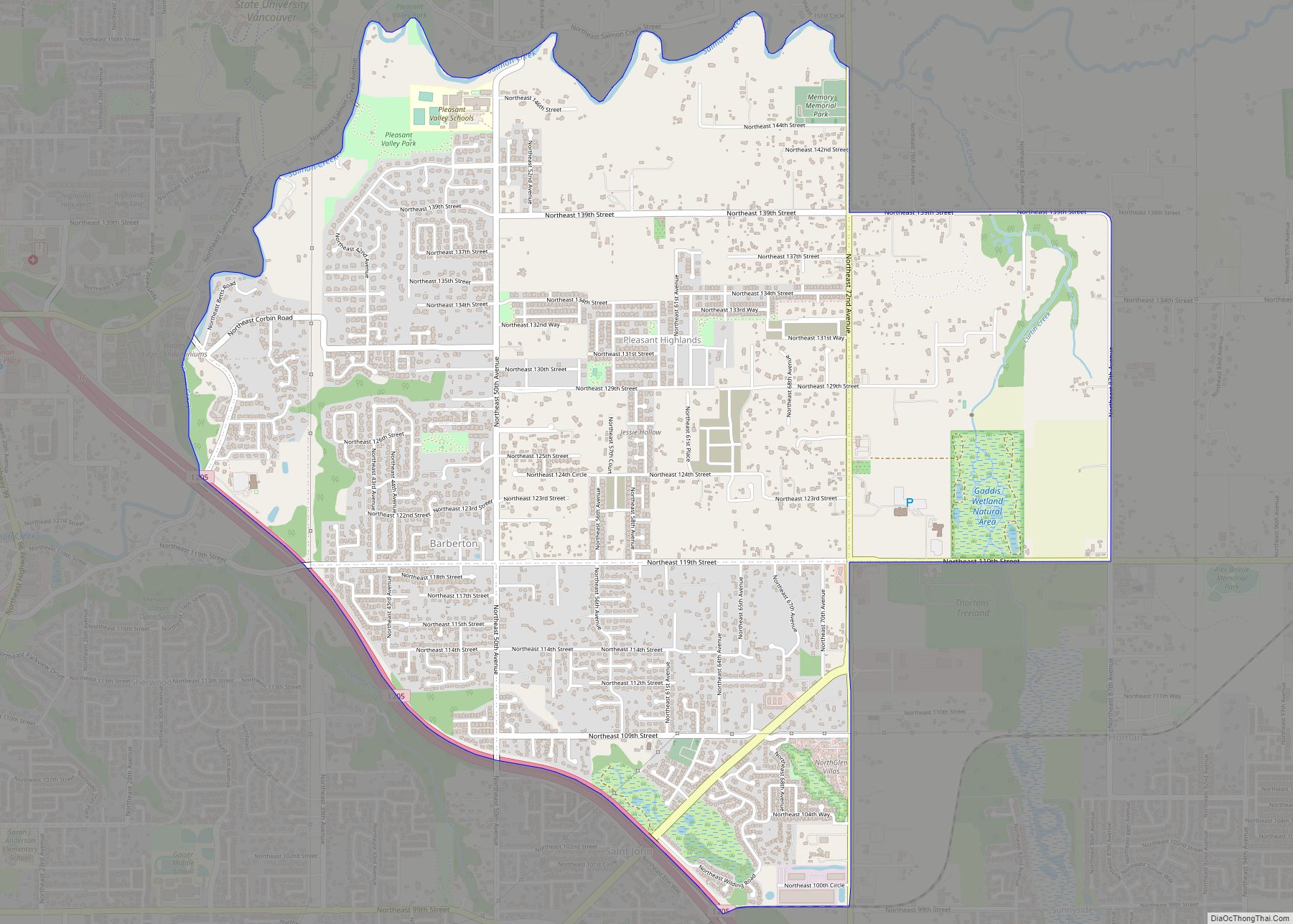
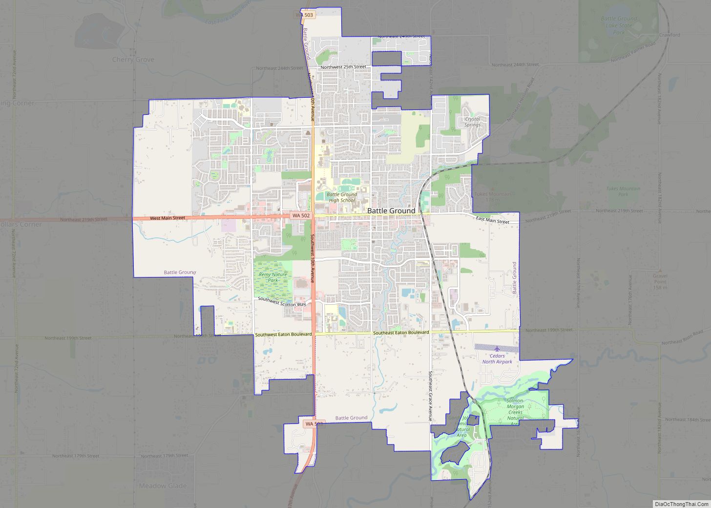
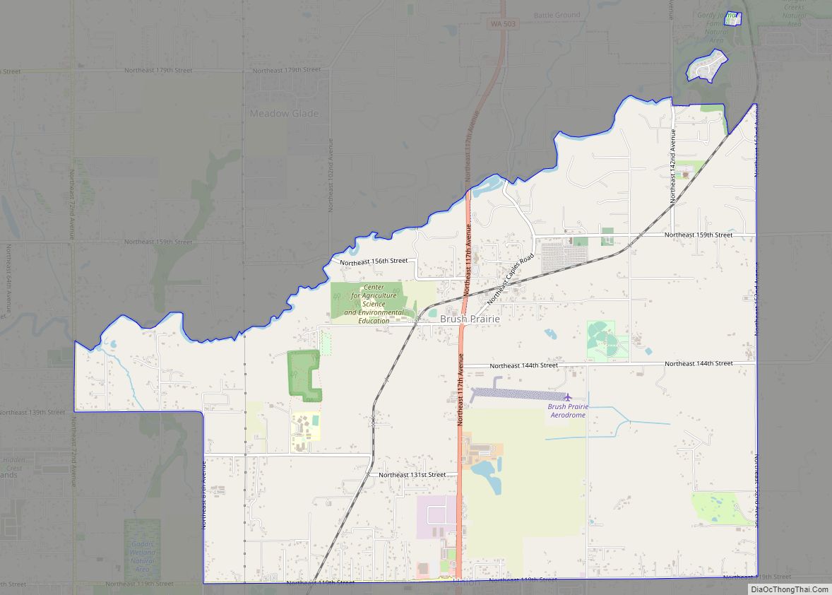
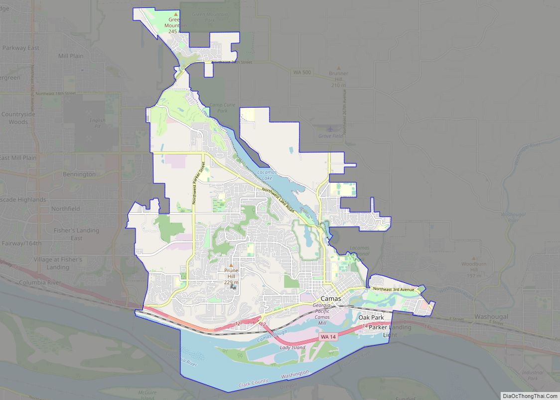
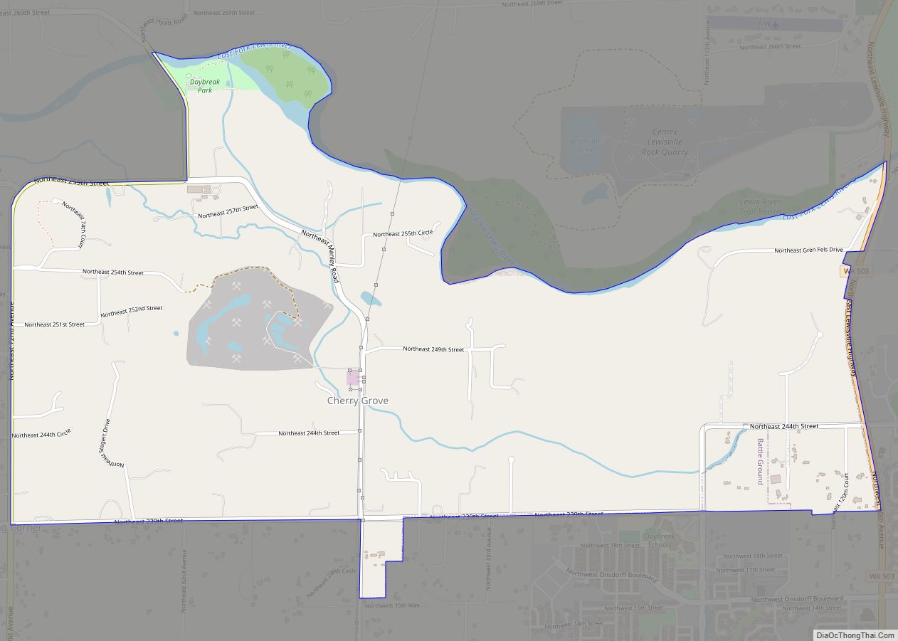
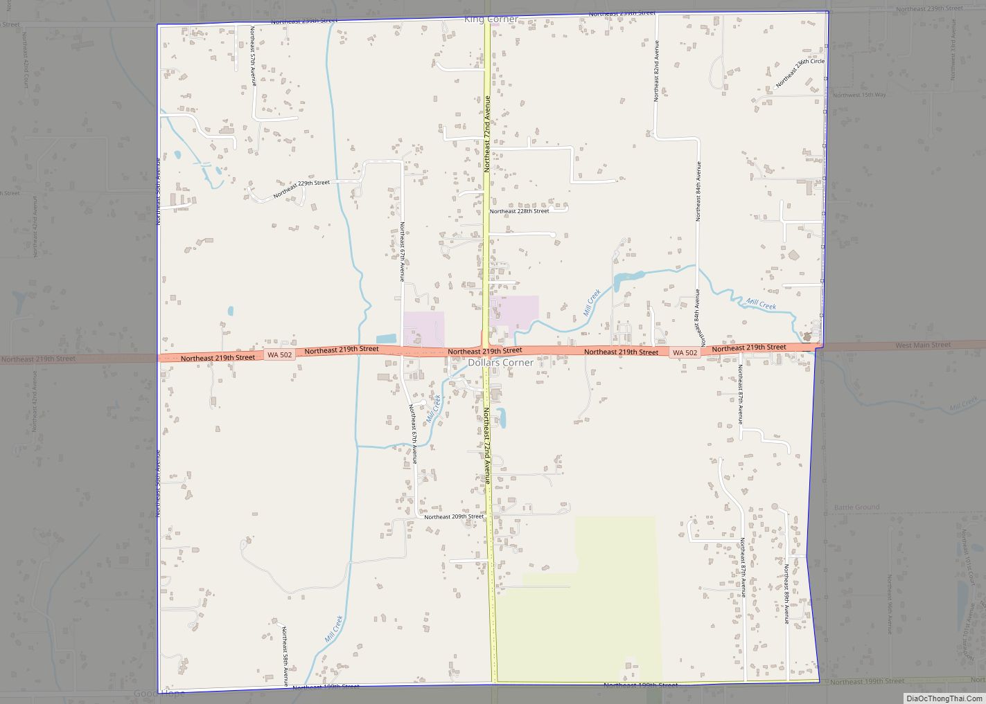
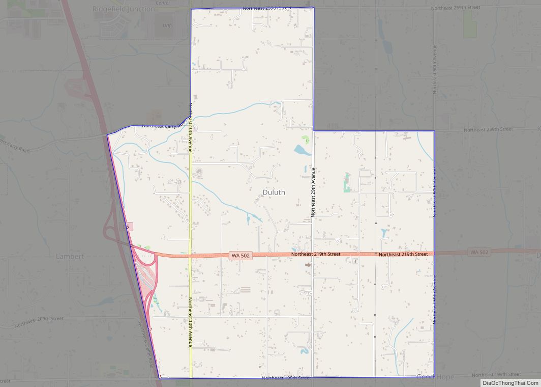
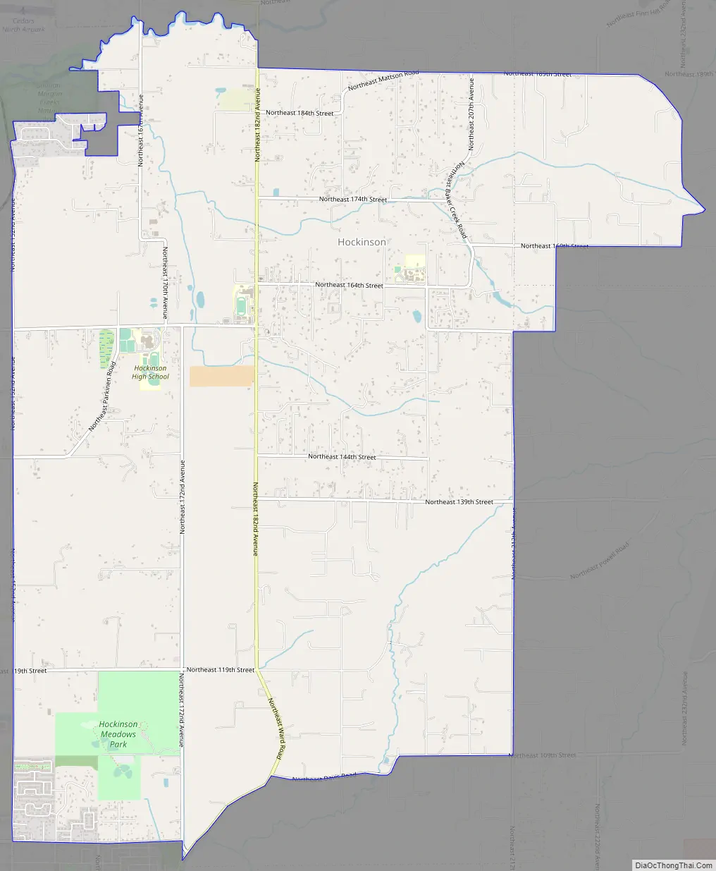
Hockinson Road Map
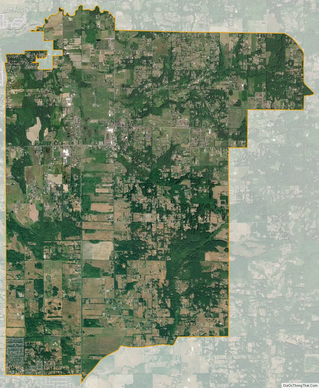
Hockinson city Satellite Map
Geography
Hockinson is located near the center of Clark County at 45°44′41″N 122°28′26″W / 45.74472°N 122.47389°W / 45.74472; -122.47389 (45.744757, -122.473901). It is bordered to the north by Venersborg, to the northwest by the city of Battle Ground, to the west by Brush Prairie, and to the southwest by Orchards. It is 14 miles (23 km) northeast of downtown Vancouver.
According to the United States Census Bureau, the Hockinson CDP has a total area of 14.0 square miles (36.3 km), all land.
See also
Map of Washington State and its subdivision:- Adams
- Asotin
- Benton
- Chelan
- Clallam
- Clark
- Columbia
- Cowlitz
- Douglas
- Ferry
- Franklin
- Garfield
- Grant
- Grays Harbor
- Island
- Jefferson
- King
- Kitsap
- Kittitas
- Klickitat
- Lewis
- Lincoln
- Mason
- Okanogan
- Pacific
- Pend Oreille
- Pierce
- San Juan
- Skagit
- Skamania
- Snohomish
- Spokane
- Stevens
- Thurston
- Wahkiakum
- Walla Walla
- Whatcom
- Whitman
- Yakima
- Alabama
- Alaska
- Arizona
- Arkansas
- California
- Colorado
- Connecticut
- Delaware
- District of Columbia
- Florida
- Georgia
- Hawaii
- Idaho
- Illinois
- Indiana
- Iowa
- Kansas
- Kentucky
- Louisiana
- Maine
- Maryland
- Massachusetts
- Michigan
- Minnesota
- Mississippi
- Missouri
- Montana
- Nebraska
- Nevada
- New Hampshire
- New Jersey
- New Mexico
- New York
- North Carolina
- North Dakota
- Ohio
- Oklahoma
- Oregon
- Pennsylvania
- Rhode Island
- South Carolina
- South Dakota
- Tennessee
- Texas
- Utah
- Vermont
- Virginia
- Washington
- West Virginia
- Wisconsin
- Wyoming