Winlock (/wɪnlək/) is a city in Lewis County, Washington, United States. The population was 1,472 at the 2020 census. It was named after territorial army general, Winlock M. Miller, who briefly resided there. Winlock is mostly famous for having the World’s Largest Egg, reflecting its former status as a major producer of eggs. Early in its history, Winlock attracted many immigrants from Finland, Germany, and Sweden.
| Name: | Winlock city |
|---|---|
| LSAD Code: | 25 |
| LSAD Description: | city (suffix) |
| State: | Washington |
| County: | Lewis County |
| Elevation: | 305 ft (93 m) |
| Total Area: | 1.29 sq mi (3.35 km²) |
| Land Area: | 1.29 sq mi (3.35 km²) |
| Water Area: | 0.00 sq mi (0.00 km²) |
| Total Population: | 1,472 |
| Population Density: | 1,105.26/sq mi (426.73/km²) |
| ZIP code: | 98596 |
| Area code: | 360 |
| FIPS code: | 5379275 |
| GNISfeature ID: | 1509597 |
| Website: | cityofwinlock.com |
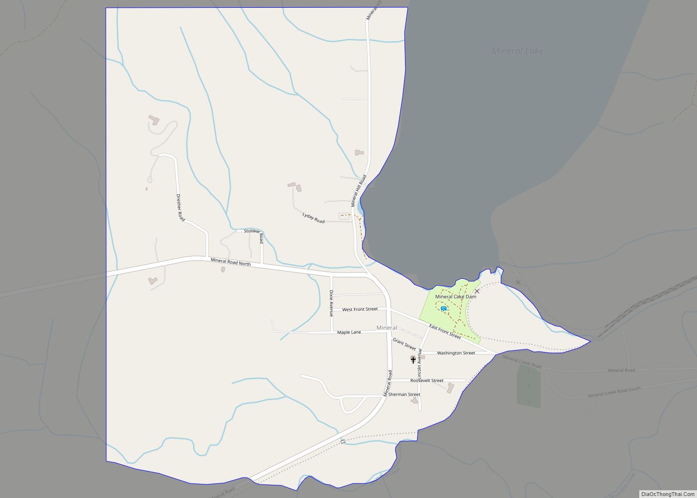
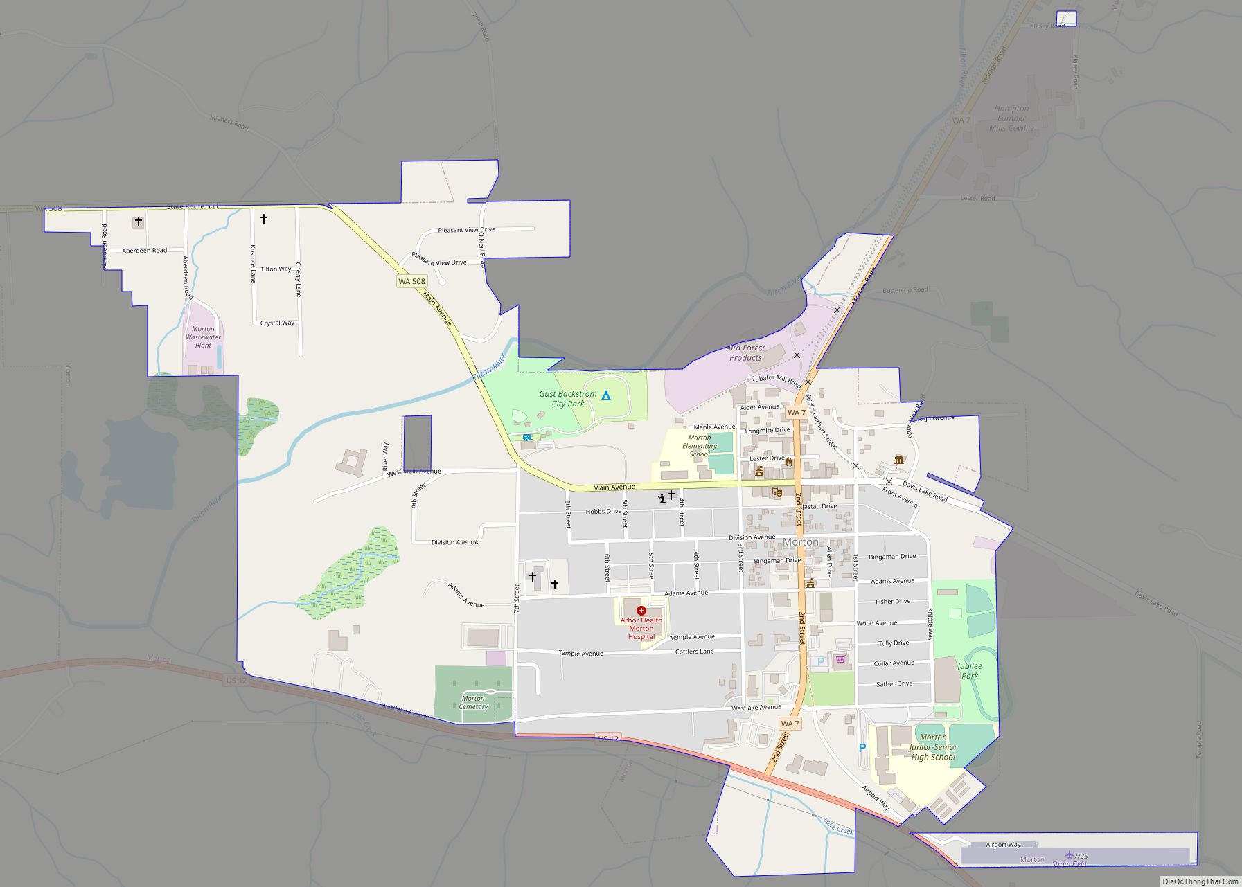
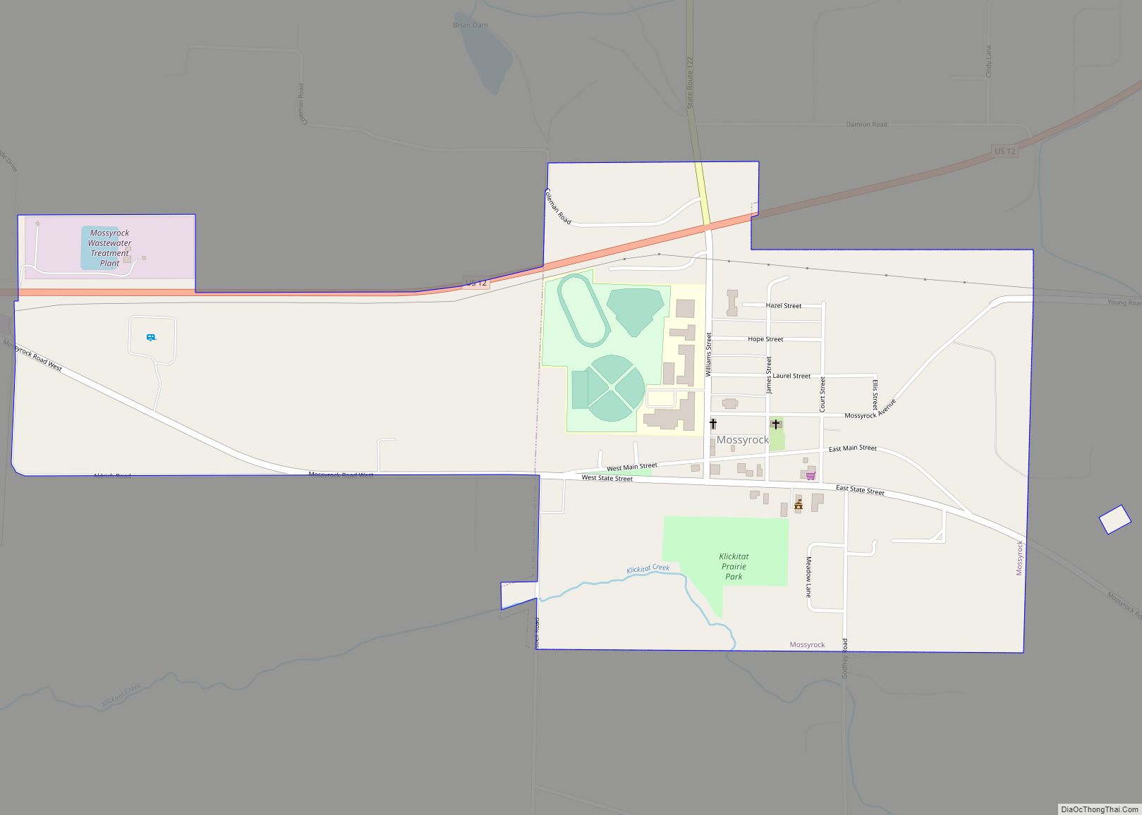
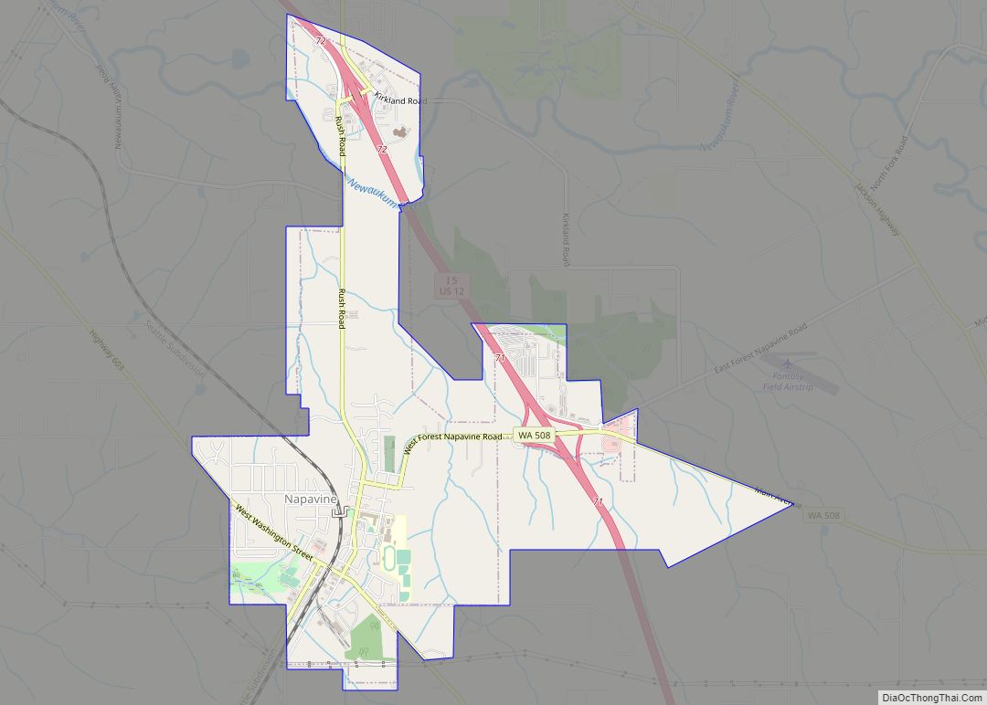
Online Interactive Map
Click on ![]() to view map in "full screen" mode.
to view map in "full screen" mode.
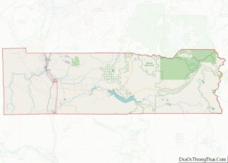
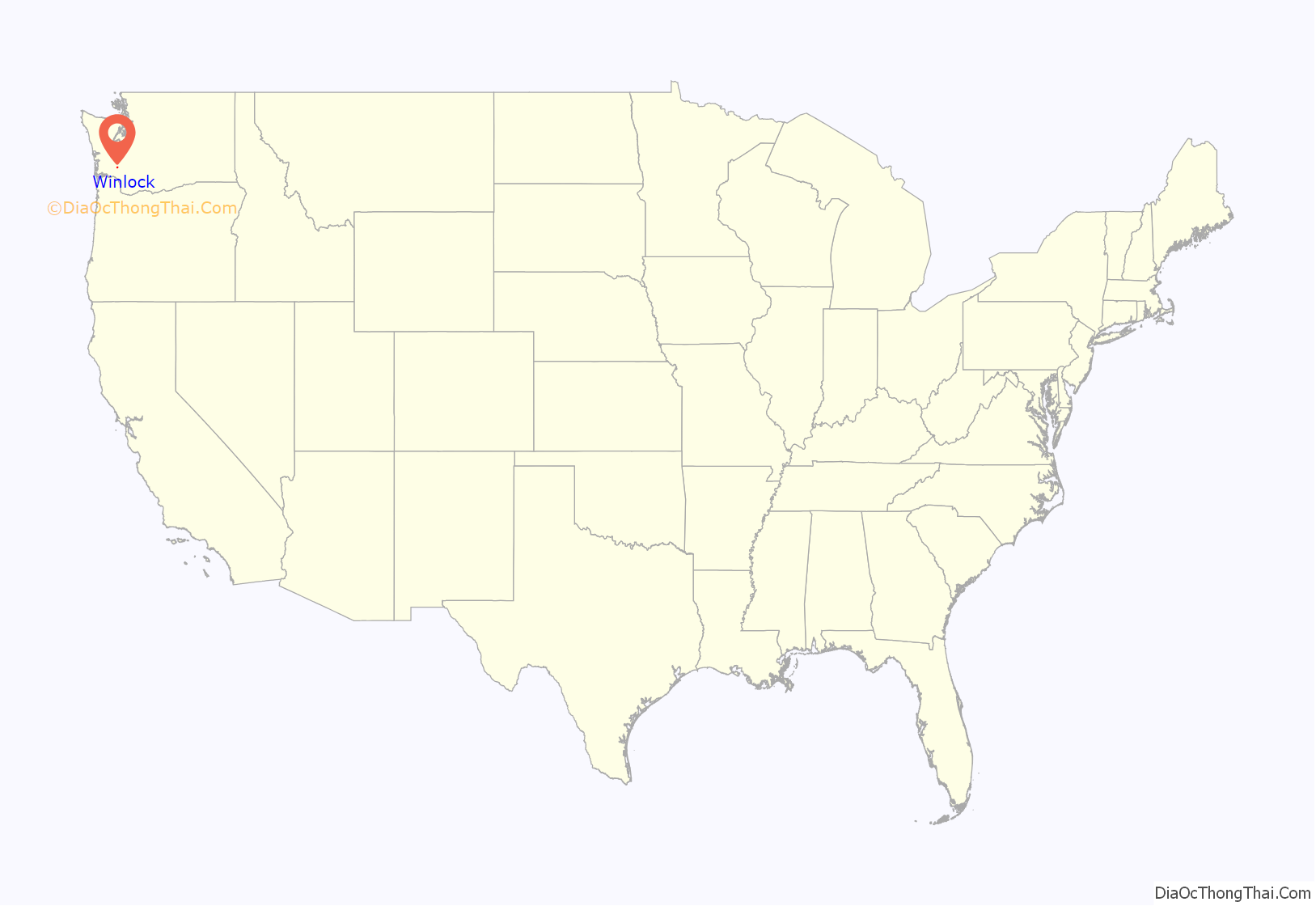
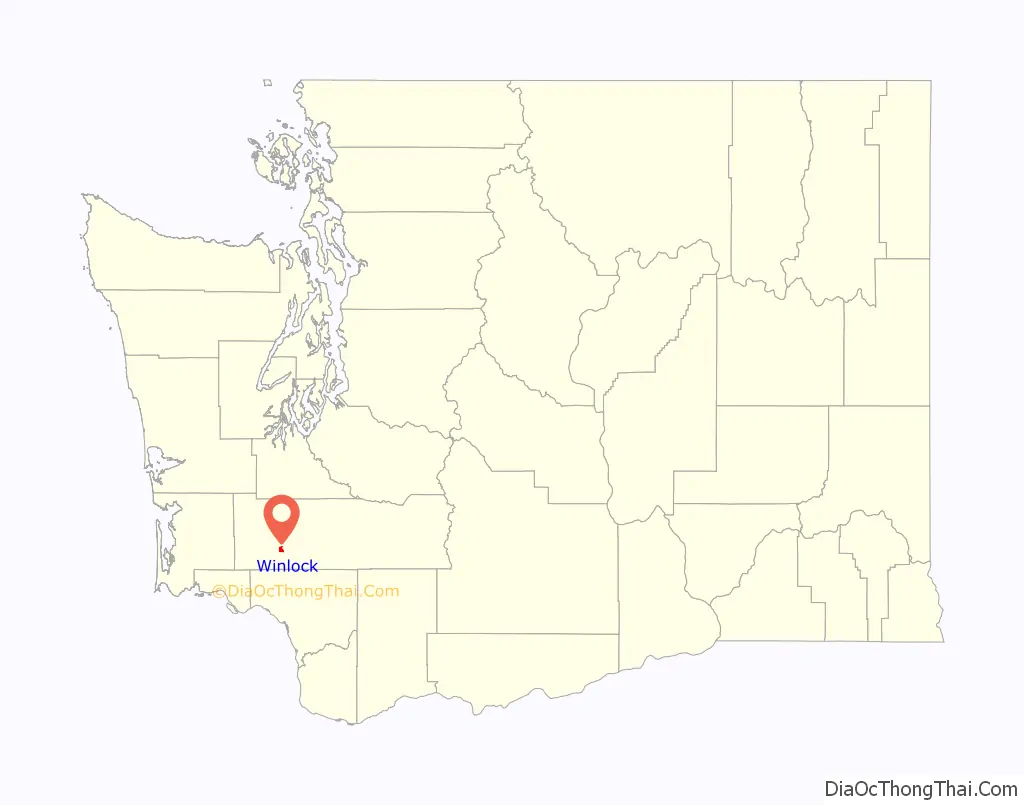
Winlock location map. Where is Winlock city?
History
Origin
Winlock began as a Northern Pacific Railroad construction camp called Wheeler’s Camp in c. 1871. The railroad was then in the process of extending its line from Kalama to Tacoma, Washington. Dr. C. C. Pagett, an early resident, donated the land for the townsite. In 1873, he named it for General William Winlock Miller of Olympia, a man of some renown in the area. Miller had promised to give a school bell to the town if it were to be named after him. The town was incorporated in 1883.
Early economy
Lumbering was the initial economic driver. A number of sawmills were established beginning in the late 1800s. In the late 1920s there were four mills in operation, employing 350 men and producing over 30 million board feet of fir lumber annually.
Agriculture developed in the early 1900s with the impetus on the raising of poultry and the production of eggs. A branch of the Washington Cooperative Egg & Poultry Association located in the town constructed a large building in the north end of town, near the railroad tracks, around 1920. It housed grain storage bins and poultry processing facilities. The building remains standing today. Several hatcheries were located in the town. More than 750,000 baby chicks were produced during the 1928 season.
In 1922 it was noted in a local newspaper that the only American city that produced more eggs than Winlock was Petaluma, California. In a single weekend in 1923, Winlock shipped 38,400 dozen eggs to New York state. Winlock at that time was touted as the “Egg and Poultry Capital of the World”.
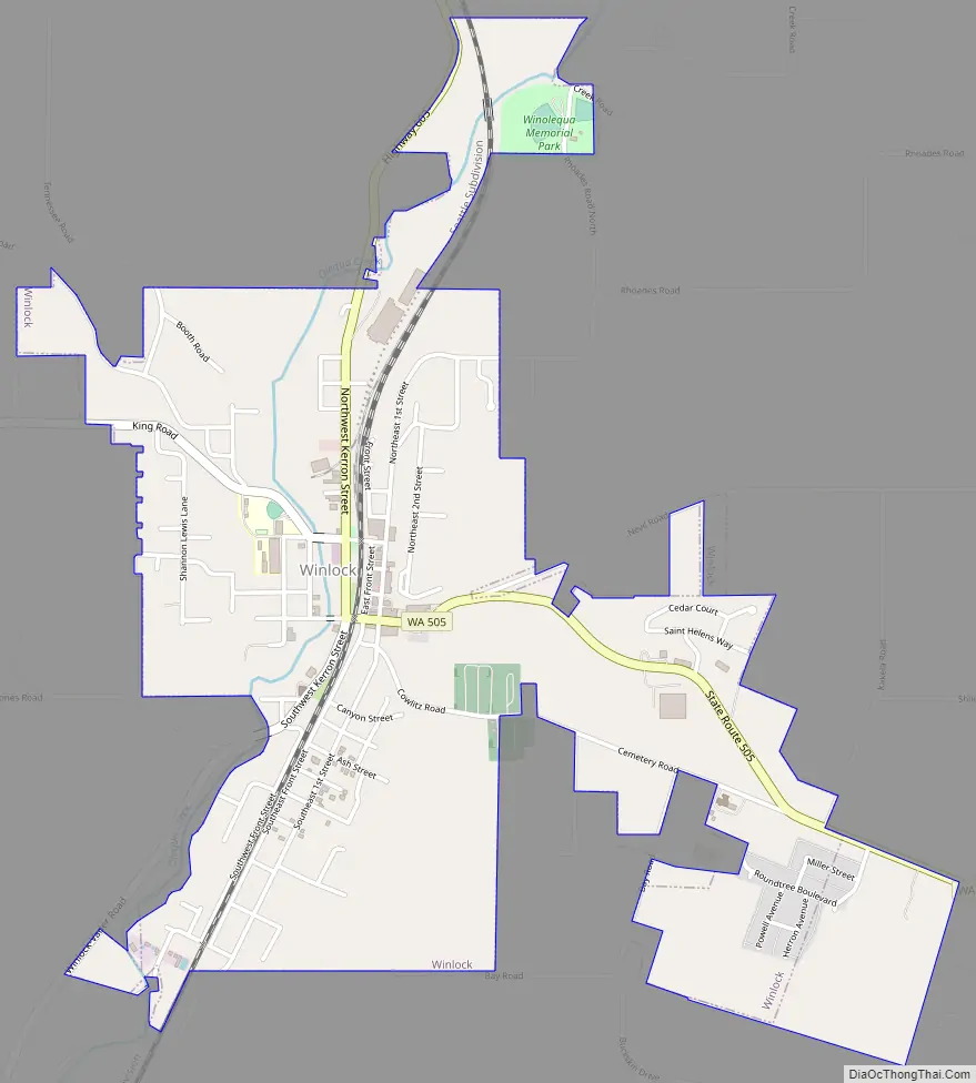
Winlock Road Map
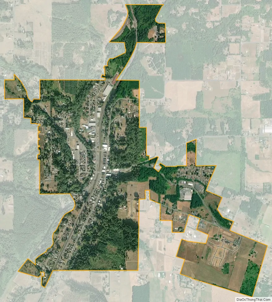
Winlock city Satellite Map
Geography
According to the United States Census Bureau, the city has a total area of 1.29 square miles (3.34 km), all of it land.
Olequa Creek, a main tributary of the Cowlitz River, runs through the center of town from north to south.
The eastern edge of the Willapa Hills lie to the west. To the east are relatively flat prairies. A notable landmark about four miles west of town is Sam Henry Mountain, elevation 1,492 feet (455 m), named for an early section superintendent of the Northern Pacific Railroad. Mt. St. Helens, about forty miles (64 km) to the east can be seen from viewpoints around the area. In May 1980, Winlock was covered with about one inch (2.5 cm) of volcanic ash from the second major eruption of this peak one week after the cataclysmic eruption of May 18.
See also
Map of Washington State and its subdivision:- Adams
- Asotin
- Benton
- Chelan
- Clallam
- Clark
- Columbia
- Cowlitz
- Douglas
- Ferry
- Franklin
- Garfield
- Grant
- Grays Harbor
- Island
- Jefferson
- King
- Kitsap
- Kittitas
- Klickitat
- Lewis
- Lincoln
- Mason
- Okanogan
- Pacific
- Pend Oreille
- Pierce
- San Juan
- Skagit
- Skamania
- Snohomish
- Spokane
- Stevens
- Thurston
- Wahkiakum
- Walla Walla
- Whatcom
- Whitman
- Yakima
- Alabama
- Alaska
- Arizona
- Arkansas
- California
- Colorado
- Connecticut
- Delaware
- District of Columbia
- Florida
- Georgia
- Hawaii
- Idaho
- Illinois
- Indiana
- Iowa
- Kansas
- Kentucky
- Louisiana
- Maine
- Maryland
- Massachusetts
- Michigan
- Minnesota
- Mississippi
- Missouri
- Montana
- Nebraska
- Nevada
- New Hampshire
- New Jersey
- New Mexico
- New York
- North Carolina
- North Dakota
- Ohio
- Oklahoma
- Oregon
- Pennsylvania
- Rhode Island
- South Carolina
- South Dakota
- Tennessee
- Texas
- Utah
- Vermont
- Virginia
- Washington
- West Virginia
- Wisconsin
- Wyoming