Zinc is a town near the east-central edge of Boone County, Arkansas, United States. The population was 92 at the 2020 census. It is part of the Harrison Micropolitan Statistical Area. A chapter of the Ku Klux Klan operates in Zinc.
| Name: | Zinc town |
|---|---|
| LSAD Code: | 43 |
| LSAD Description: | town (suffix) |
| State: | Arkansas |
| County: | Boone County |
| Elevation: | 879 ft (268 m) |
| Total Area: | 0.75 sq mi (1.94 km²) |
| Land Area: | 0.75 sq mi (1.94 km²) |
| Water Area: | 0.00 sq mi (0.00 km²) |
| Total Population: | 92 |
| Population Density: | 122.50/sq mi (47.32/km²) |
| ZIP code: | 72601 |
| Area code: | 870 |
| FIPS code: | 0577600 |
| GNISfeature ID: | 0058929 |
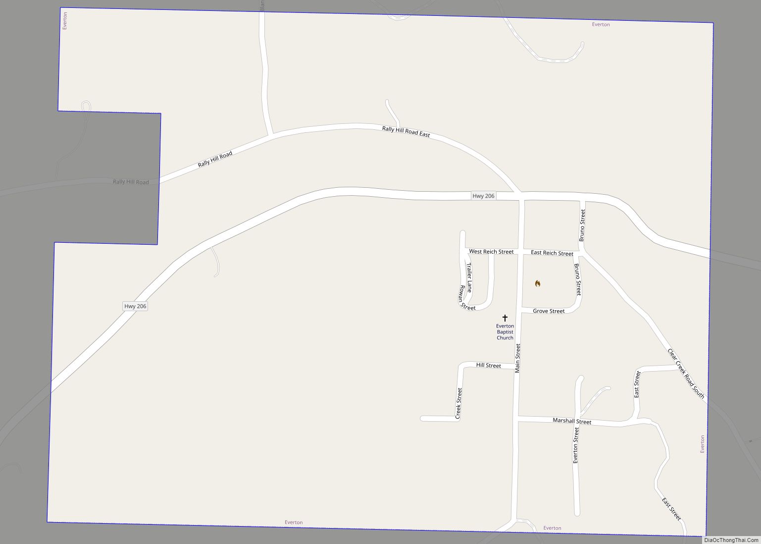
Online Interactive Map
Click on ![]() to view map in "full screen" mode.
to view map in "full screen" mode.
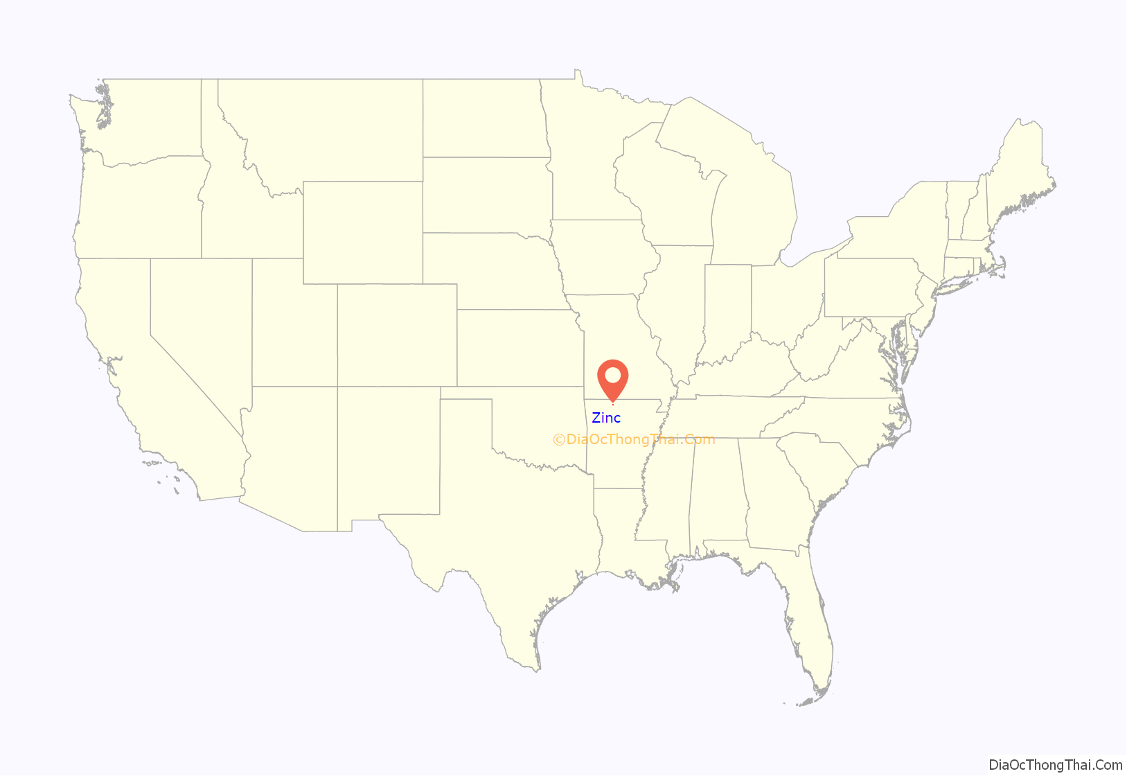
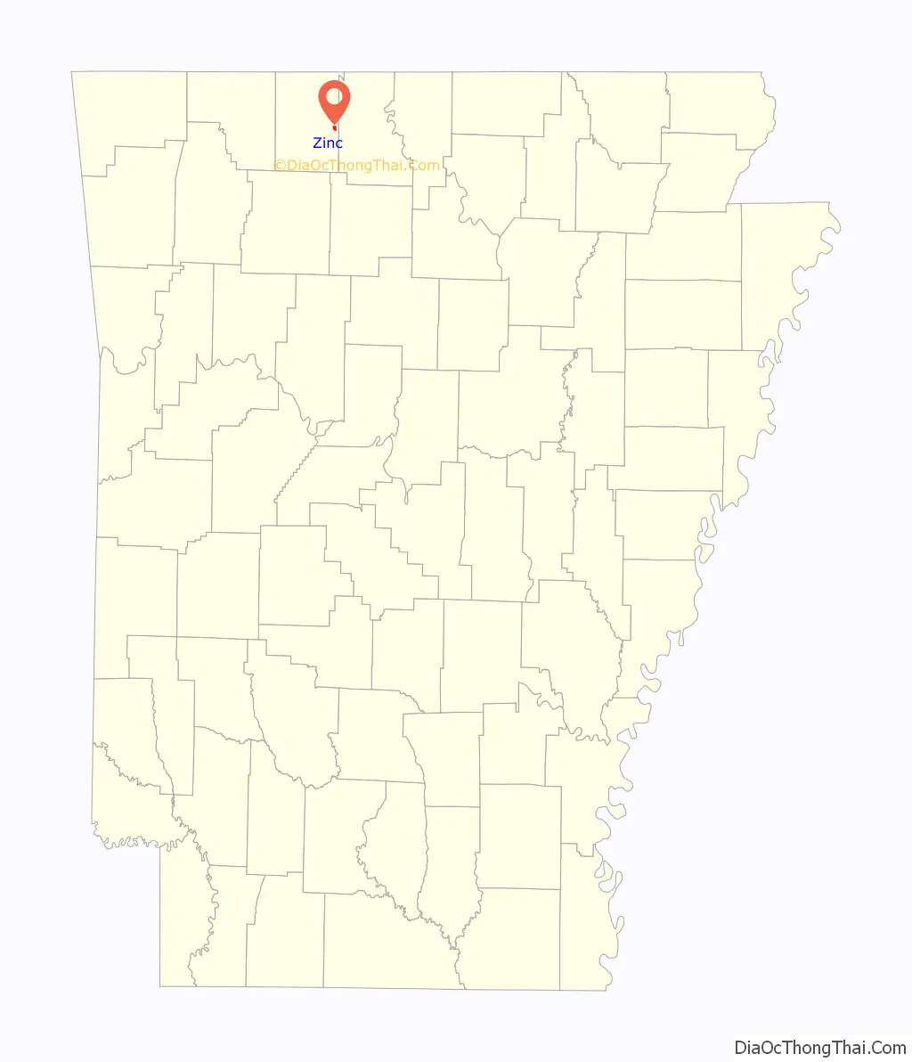
Zinc location map. Where is Zinc town?
History
Zinc mining in the area gave the town its name. Zinc and lead mining began in the 1890s and peaked during World War I (1914–1918). A post office was established in Zinc in 1900 and the town was incorporated in 1904.
The town had a number of business establishments and a school in the 1920s, but a flood in 1927 caused damage to homes and businesses. Zinc’s population was 188 in 1930 and declined thereafter. The last store closed in Zinc in the late 1960s and the post office closed in 1975.
Zinc, in the 21st century, became the headquarters of a chapter of the Knights of the Ku Klux Klan (KKK), classified as a hate group by the Anti-Defamation League and the Southern Poverty Law Center The “Christian Revival Center” near Zinc belongs to a preacher named Thomas Robb who is also the leader of the Knights of the KKK. The center hosts events connected with the KKK, including in 2013 a “Klan Kamp” called the “Soldiers of the Cross Training Institute” to instill “the tools to become actively involved” in the “struggle for our racial redemption”.
Other activities of the KKK near Zinc include the placement of signs along highways with messages such as “Diversity is a code for #whitegenocide”.
In May 2022, English YouTuber Niko Omilana published a video documenting his experiences in Zinc and Harrison whilst disguised as a journalist for the BBC. The video includes an interview with Robb, where Robb unwittingly shouts out fake Instagram users whose names phoneticize phrases such as “BLM”.
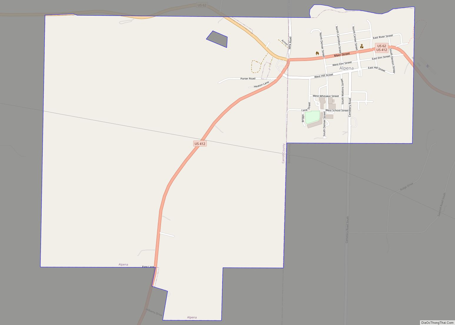
Zinc Road Map
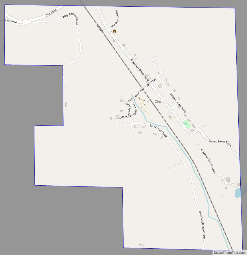
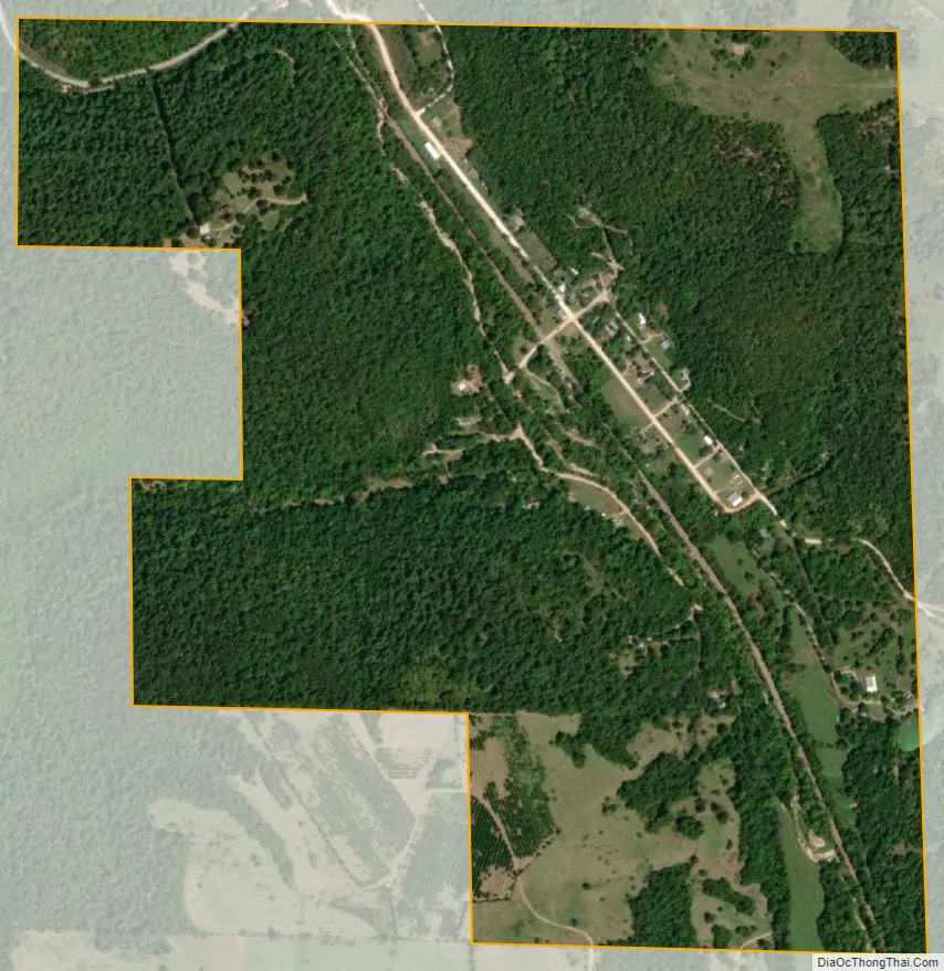
Zinc city Satellite Map
Geography
Zinc is located at 36°17′7″N 92°54′56″W / 36.28528°N 92.91556°W / 36.28528; -92.91556 (36.285384, −92.915419), approximately nine miles east in straight-line distance from the county seat of Harrison. According to the United States Census Bureau, the town has a total area of 0.752 square miles (1.95 km), of which 0.751 square miles (1.95 km) is land and 0.001 square miles (0.0026 km) is water.
Zinc is in the Ozark region and has an elevation of 879 feet (268 m).
See also
Map of Arkansas State and its subdivision:- Arkansas
- Ashley
- Baxter
- Benton
- Boone
- Bradley
- Calhoun
- Carroll
- Chicot
- Clark
- Clay
- Cleburne
- Cleveland
- Columbia
- Conway
- Craighead
- Crawford
- Crittenden
- Cross
- Dallas
- Desha
- Drew
- Faulkner
- Franklin
- Fulton
- Garland
- Grant
- Greene
- Hempstead
- Hot Spring
- Howard
- Independence
- Izard
- Jackson
- Jefferson
- Johnson
- Lafayette
- Lawrence
- Lee
- Lincoln
- Little River
- Logan
- Lonoke
- Madison
- Marion
- Miller
- Mississippi
- Monroe
- Montgomery
- Nevada
- Newton
- Ouachita
- Perry
- Phillips
- Pike
- Poinsett
- Polk
- Pope
- Prairie
- Pulaski
- Randolph
- Saint Francis
- Saline
- Scott
- Searcy
- Sebastian
- Sevier
- Sharp
- Stone
- Union
- Van Buren
- Washington
- White
- Woodruff
- Yell
- Alabama
- Alaska
- Arizona
- Arkansas
- California
- Colorado
- Connecticut
- Delaware
- District of Columbia
- Florida
- Georgia
- Hawaii
- Idaho
- Illinois
- Indiana
- Iowa
- Kansas
- Kentucky
- Louisiana
- Maine
- Maryland
- Massachusetts
- Michigan
- Minnesota
- Mississippi
- Missouri
- Montana
- Nebraska
- Nevada
- New Hampshire
- New Jersey
- New Mexico
- New York
- North Carolina
- North Dakota
- Ohio
- Oklahoma
- Oregon
- Pennsylvania
- Rhode Island
- South Carolina
- South Dakota
- Tennessee
- Texas
- Utah
- Vermont
- Virginia
- Washington
- West Virginia
- Wisconsin
- Wyoming