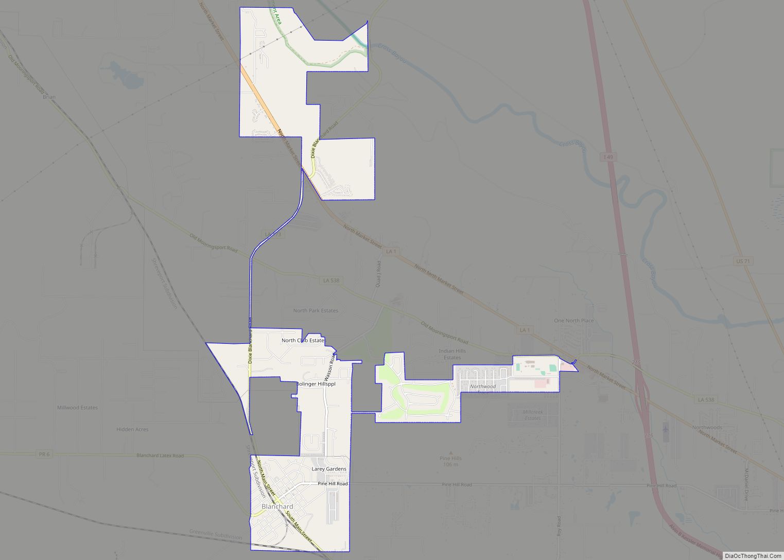
Blanchard is the suburban town in, and the second-largest municipality by population of Caddo Parish in the U.S. state of Louisiana. With a population of 3,538 at the 2020 U.S. census, it is part of the Shreveport–Bossier City metropolitan statistical area.
| Name: | Blanchard town |
|---|---|
| LSAD Code: | 43 |
| LSAD Description: | town (suffix) |
| State: | Louisiana |
| County: | Caddo Parish |
| Elevation: | 223 ft (68 m) |
| Total Area: | 3.49 sq mi (9.03 km²) |
| Land Area: | 3.49 sq mi (9.03 km²) |
| Water Area: | 0.00 sq mi (0.00 km²) |
| Total Population: | 3,538 |
| Population Density: | 1,014.92/sq mi (391.85/km²) |
| Area code: | 318 |
| FIPS code: | 2207730 |
| Website: | www.townofblanchard.us |
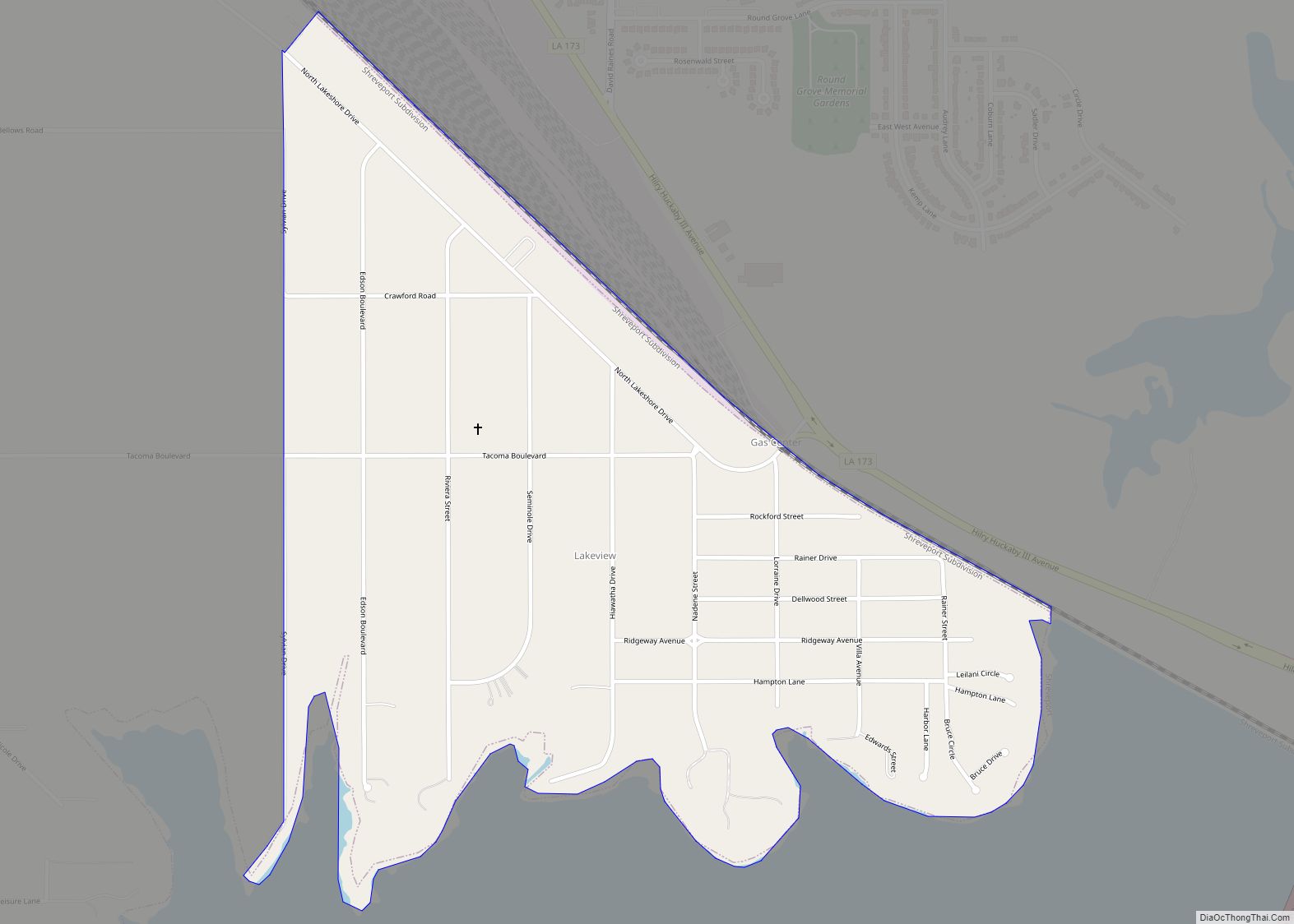
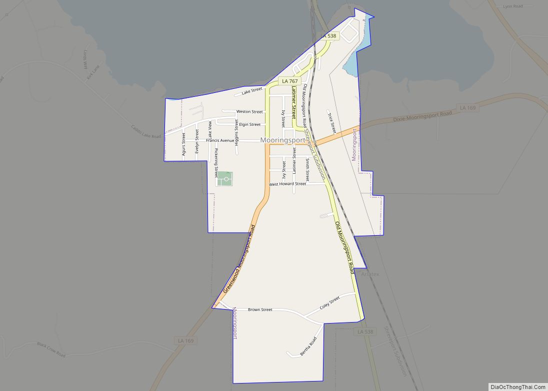
Online Interactive Map
Click on ![]() to view map in "full screen" mode.
to view map in "full screen" mode.
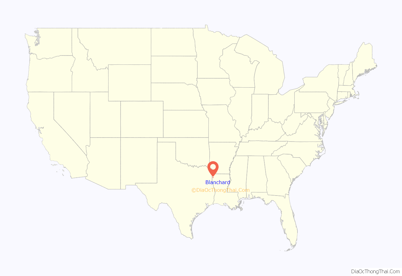
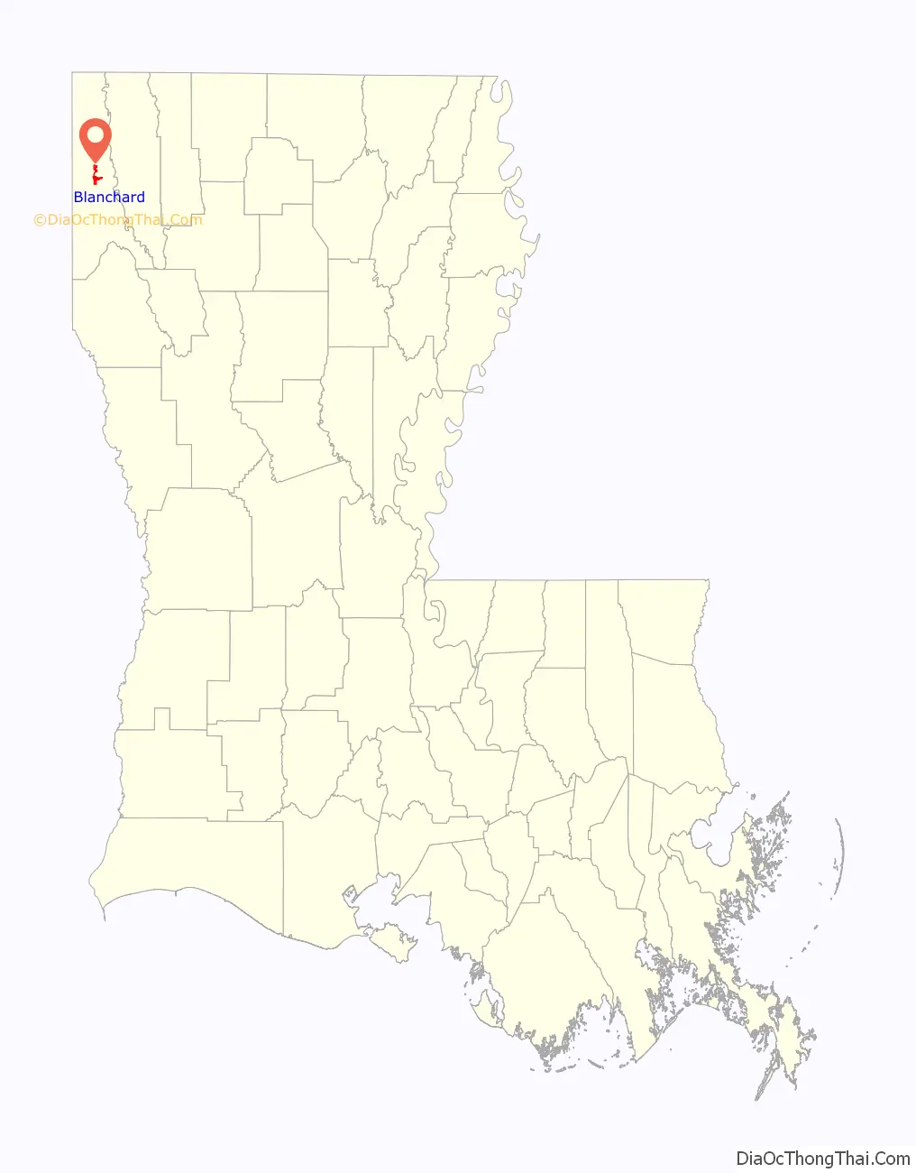
Blanchard location map. Where is Blanchard town?
History
Blanchard was likely named for Newton C. Blanchard, a United States Representative, Senator, and the 33rd Governor of Louisiana.
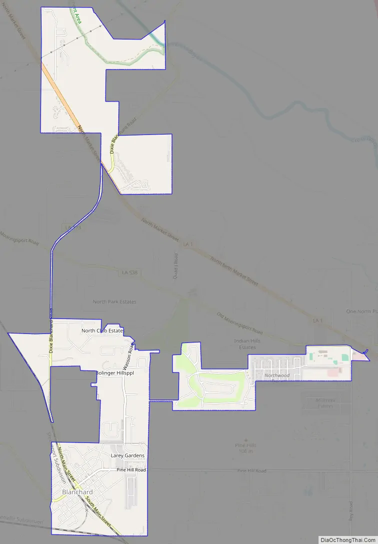
Blanchard Road Map
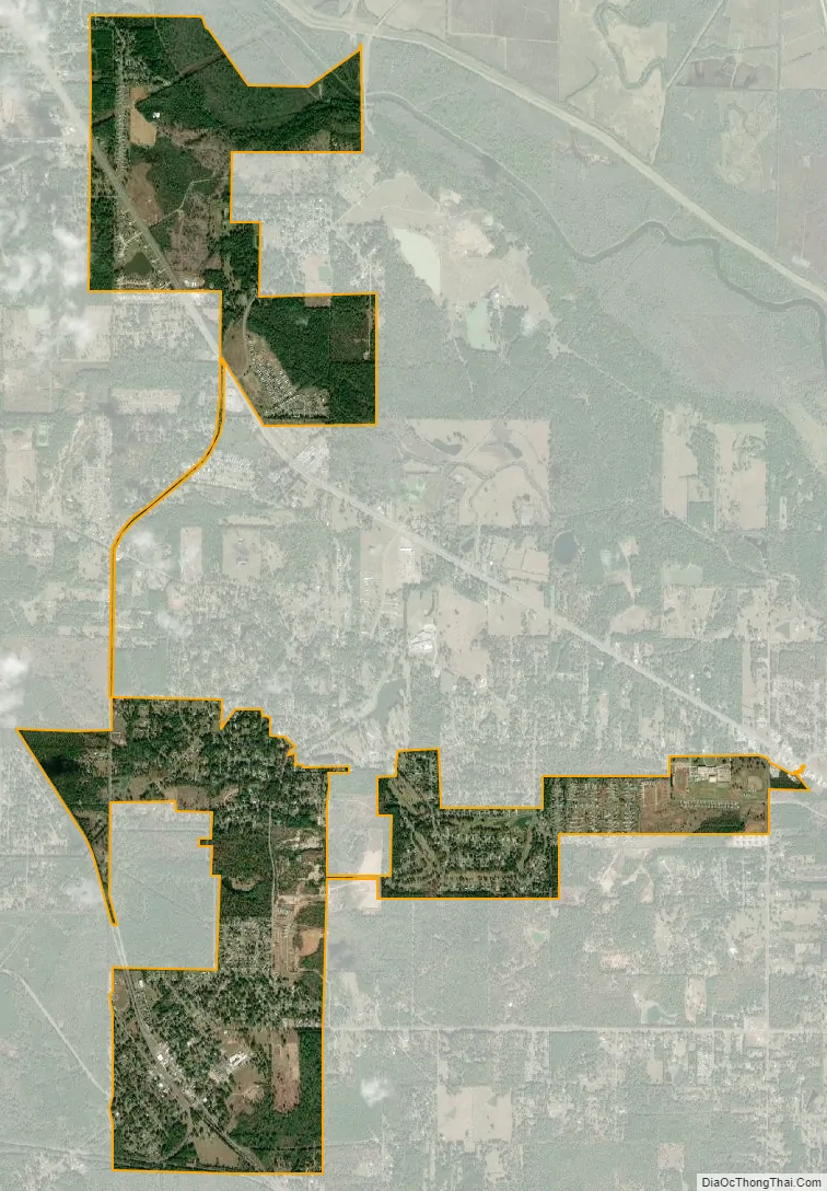
Blanchard city Satellite Map
Geography
Blanchard is located at 32°35′12″N 93°53′15″W / 32.58667°N 93.88750°W / 32.58667; -93.88750 (32.586762, -93.887590). Louisiana Highway 173 passes through the town as Main Street. Downtown Shreveport is 10 miles (16 km) to the southeast. According to the United States Census Bureau, the town has a total area of 4.0 square miles (10.3 km), all land.
See also
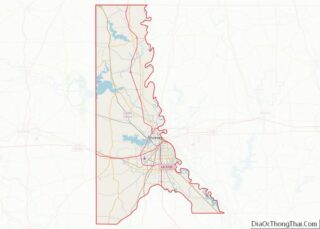
Map of Louisiana State and its subdivision:- Acadia
- Allen
- Ascension
- Assumption
- Avoyelles
- Beauregard
- Bienville
- Bossier
- Caddo
- Calcasieu
- Caldwell
- Cameron
- Catahoula
- Claiborne
- Concordia
- De Soto
- East Baton Rouge
- East Carroll
- East Feliciana
- Evangeline
- Franklin
- Grant
- Iberia
- Iberville
- Jackson
- Jefferson
- Jefferson Davis
- La Salle
- Lafayette
- Lafourche
- Lincoln
- Livingston
- Madison
- Morehouse
- Natchitoches
- Orleans
- Ouachita
- Plaquemines
- Pointe Coupee
- Rapides
- Red River
- Richland
- Sabine
- Saint Bernard
- Saint Charles
- Saint Helena
- Saint James
- Saint John the Baptist
- Saint Landry
- Saint Martin
- Saint Mary
- Saint Tammany
- Tangipahoa
- Tensas
- Terrebonne
- Union
- Vermilion
- Vernon
- Washington
- Webster
- West Baton Rouge
- West Carroll
- West Feliciana
- Winn
- Alabama
- Alaska
- Arizona
- Arkansas
- California
- Colorado
- Connecticut
- Delaware
- District of Columbia
- Florida
- Georgia
- Hawaii
- Idaho
- Illinois
- Indiana
- Iowa
- Kansas
- Kentucky
- Louisiana
- Maine
- Maryland
- Massachusetts
- Michigan
- Minnesota
- Mississippi
- Missouri
- Montana
- Nebraska
- Nevada
- New Hampshire
- New Jersey
- New Mexico
- New York
- North Carolina
- North Dakota
- Ohio
- Oklahoma
- Oregon
- Pennsylvania
- Rhode Island
- South Carolina
- South Dakota
- Tennessee
- Texas
- Utah
- Vermont
- Virginia
- Washington
- West Virginia
- Wisconsin
- Wyoming