Cotton Valley is a town in central Webster Parish, Louisiana, United States. The population was 1,010 at the 2010 census.
| Name: | Cotton Valley town |
|---|---|
| LSAD Code: | 43 |
| LSAD Description: | town (suffix) |
| State: | Louisiana |
| County: | Webster Parish |
| Elevation: | 226 ft (69 m) |
| Total Area: | 2.65 sq mi (6.85 km²) |
| Land Area: | 2.63 sq mi (6.82 km²) |
| Water Area: | 0.01 sq mi (0.03 km²) |
| Total Population: | 787 |
| Population Density: | 299.01/sq mi (115.45/km²) |
| Area code: | 318 |
| FIPS code: | 2217915 |
| Website: | cottonvalleylouisiana.net (archived) |
Online Interactive Map
Click on ![]() to view map in "full screen" mode.
to view map in "full screen" mode.
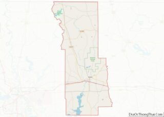
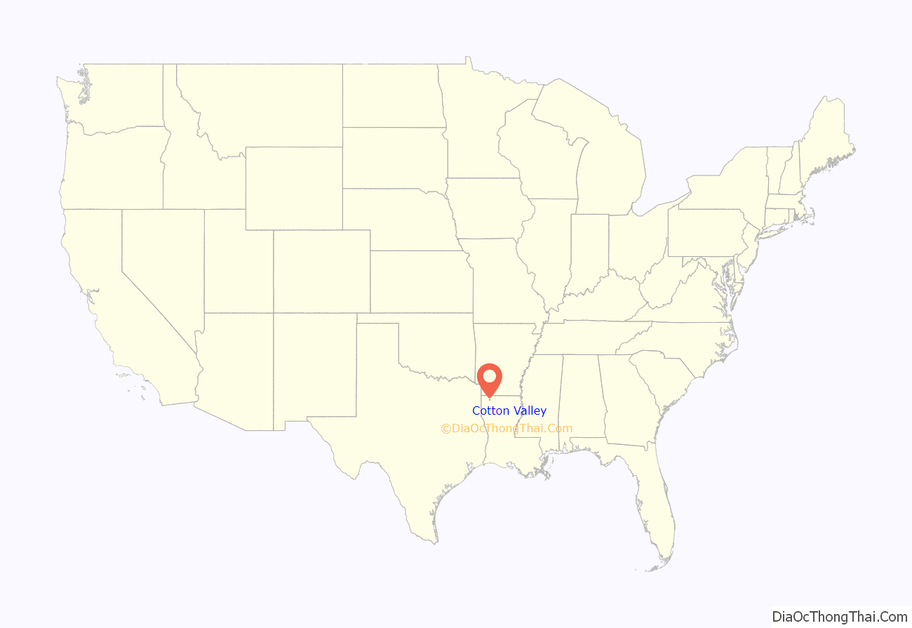
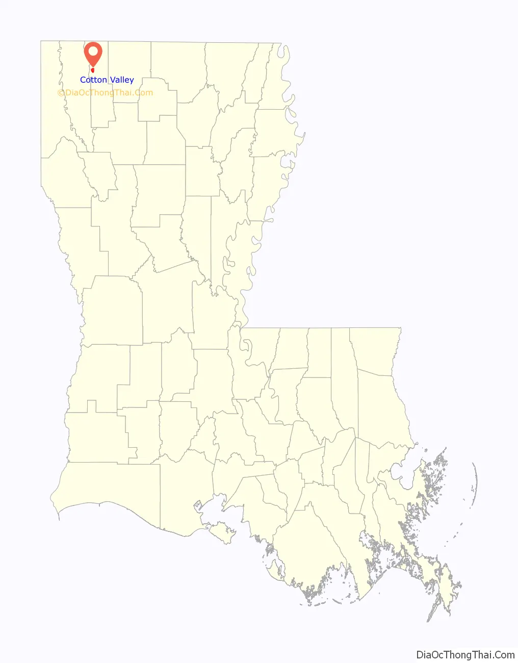
Cotton Valley location map. Where is Cotton Valley town?
History
Mayoral history
Cotton Valley was established in the mid-19th century, and incorporated in 1944 when J. B. Roby, a Democrat, became its first mayor. In 1946, Roby was succeeded by A. C. Borland, who served a total of 22 years. An insurance agent, Borland did not seek reelection in 1968 and was succeeded by E. M. Hollingsworth. Borland was credited with the building of the Cotton Valley city hall, recreation center and municipal park. Keith Chanler {Republican} was elected mayor in 2000 and again in 2004 and chose not to run in 2008. Comerdis Phillips was elected mayor in 2008 Joseph Alexander became mayor in 2016.
Marlon Pope Special Learning Center
Cotton Valley was the home of the former Marlon Pope Special Learning Center, named for Chester Marlon Pope, a civic leader and Republican member of the Webster Parish School Board.
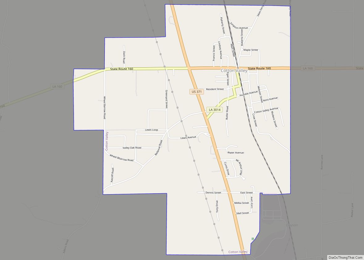
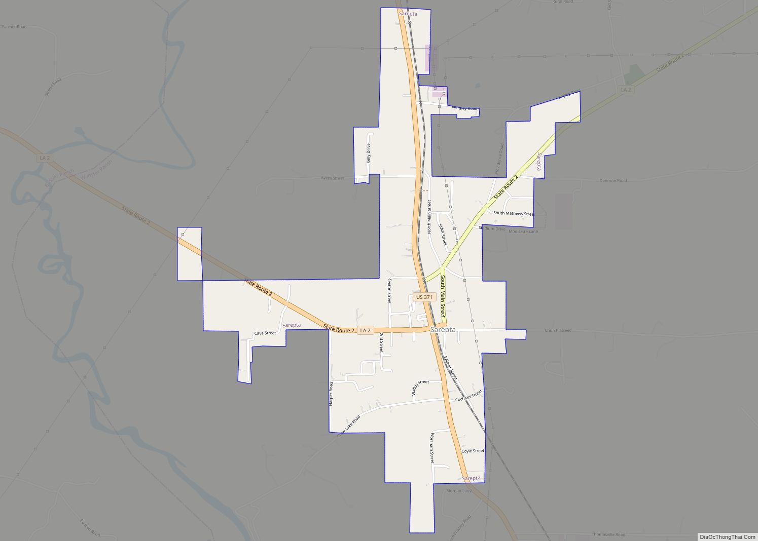
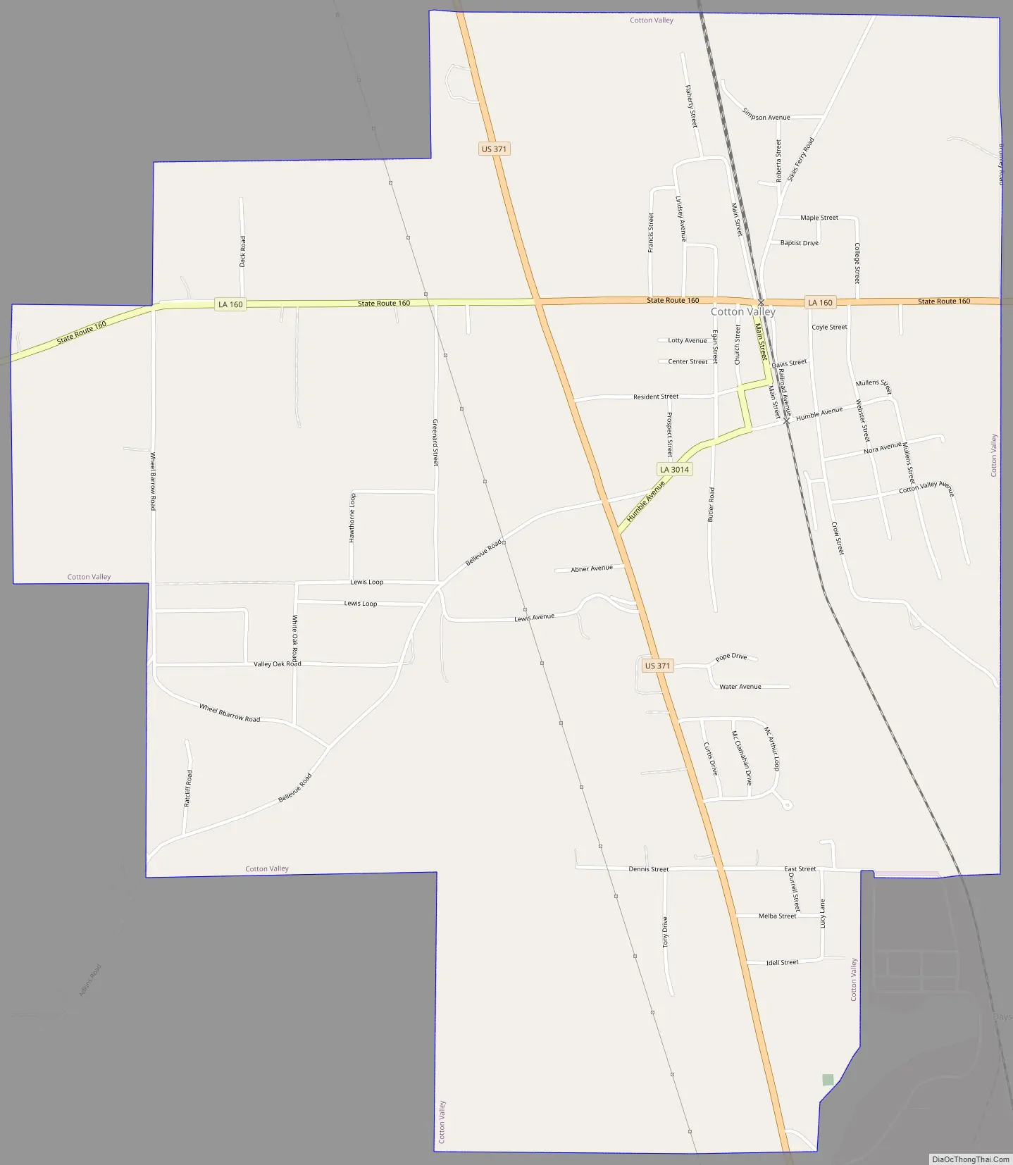
Cotton Valley Road Map
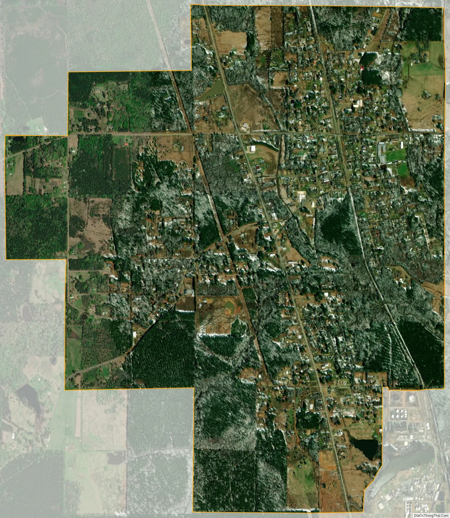
Cotton Valley city Satellite Map
Geography
According to the United States Census Bureau, the town has a total area of 2.6 square miles (6.7 km), all land.
See also
Map of Louisiana State and its subdivision:- Acadia
- Allen
- Ascension
- Assumption
- Avoyelles
- Beauregard
- Bienville
- Bossier
- Caddo
- Calcasieu
- Caldwell
- Cameron
- Catahoula
- Claiborne
- Concordia
- De Soto
- East Baton Rouge
- East Carroll
- East Feliciana
- Evangeline
- Franklin
- Grant
- Iberia
- Iberville
- Jackson
- Jefferson
- Jefferson Davis
- La Salle
- Lafayette
- Lafourche
- Lincoln
- Livingston
- Madison
- Morehouse
- Natchitoches
- Orleans
- Ouachita
- Plaquemines
- Pointe Coupee
- Rapides
- Red River
- Richland
- Sabine
- Saint Bernard
- Saint Charles
- Saint Helena
- Saint James
- Saint John the Baptist
- Saint Landry
- Saint Martin
- Saint Mary
- Saint Tammany
- Tangipahoa
- Tensas
- Terrebonne
- Union
- Vermilion
- Vernon
- Washington
- Webster
- West Baton Rouge
- West Carroll
- West Feliciana
- Winn
- Alabama
- Alaska
- Arizona
- Arkansas
- California
- Colorado
- Connecticut
- Delaware
- District of Columbia
- Florida
- Georgia
- Hawaii
- Idaho
- Illinois
- Indiana
- Iowa
- Kansas
- Kentucky
- Louisiana
- Maine
- Maryland
- Massachusetts
- Michigan
- Minnesota
- Mississippi
- Missouri
- Montana
- Nebraska
- Nevada
- New Hampshire
- New Jersey
- New Mexico
- New York
- North Carolina
- North Dakota
- Ohio
- Oklahoma
- Oregon
- Pennsylvania
- Rhode Island
- South Carolina
- South Dakota
- Tennessee
- Texas
- Utah
- Vermont
- Virginia
- Washington
- West Virginia
- Wisconsin
- Wyoming