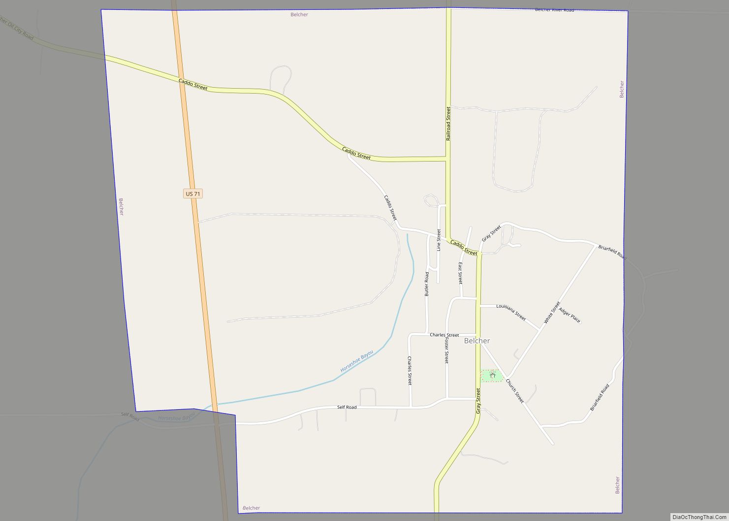
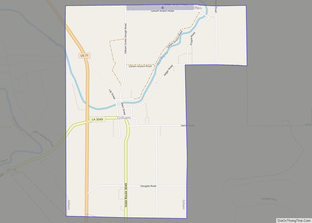
Gilliam is a village in Caddo Parish, Louisiana, United States. The population was 164 at the 2010 census. It is part of the Shreveport–Bossier City Metropolitan Statistical Area.
| Name: | Gilliam village |
|---|---|
| LSAD Code: | 47 |
| LSAD Description: | village (suffix) |
| State: | Louisiana |
| County: | Caddo Parish |
| Elevation: | 190 ft (60 m) |
| Total Area: | 2.37 sq mi (6.13 km²) |
| Land Area: | 2.37 sq mi (6.13 km²) |
| Water Area: | 0.00 sq mi (0.00 km²) |
| Total Population: | 123 |
| Population Density: | 52.01/sq mi (20.08/km²) |
| Area code: | 318 |
| FIPS code: | 2229010 |
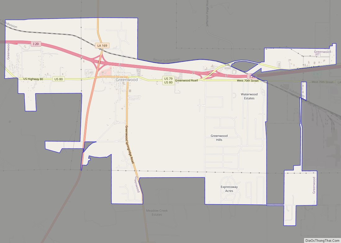
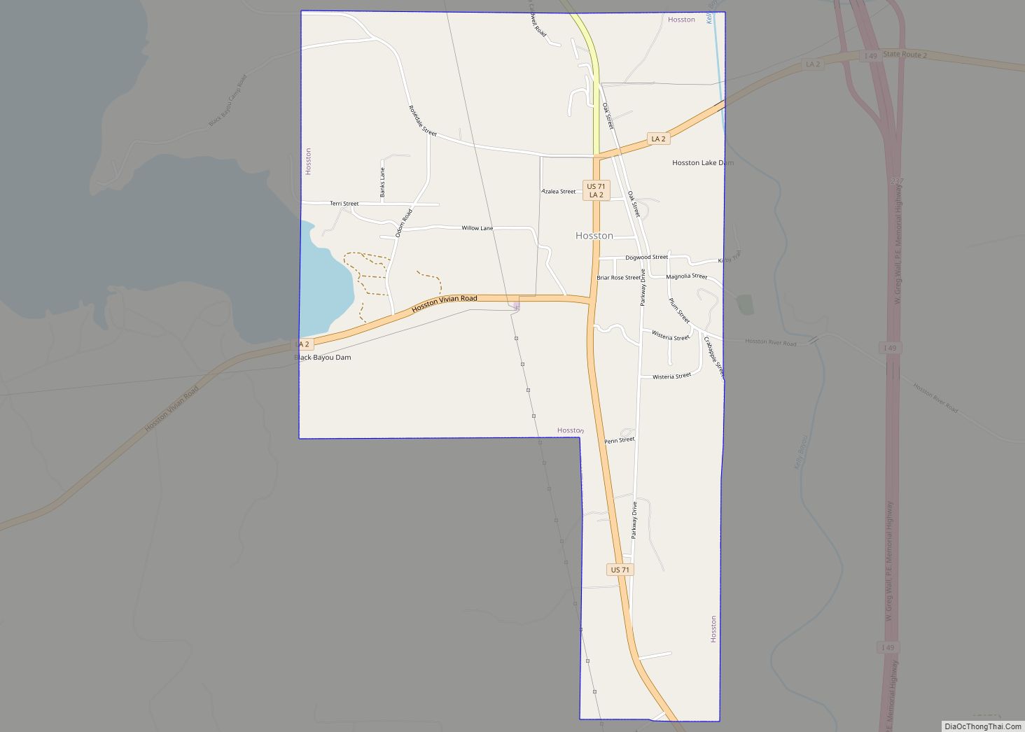
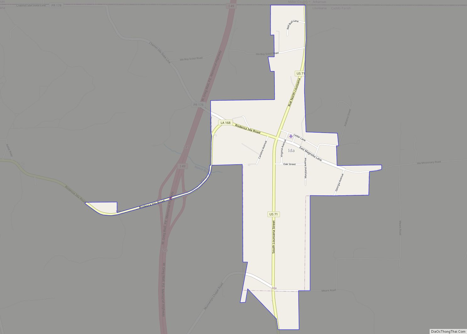
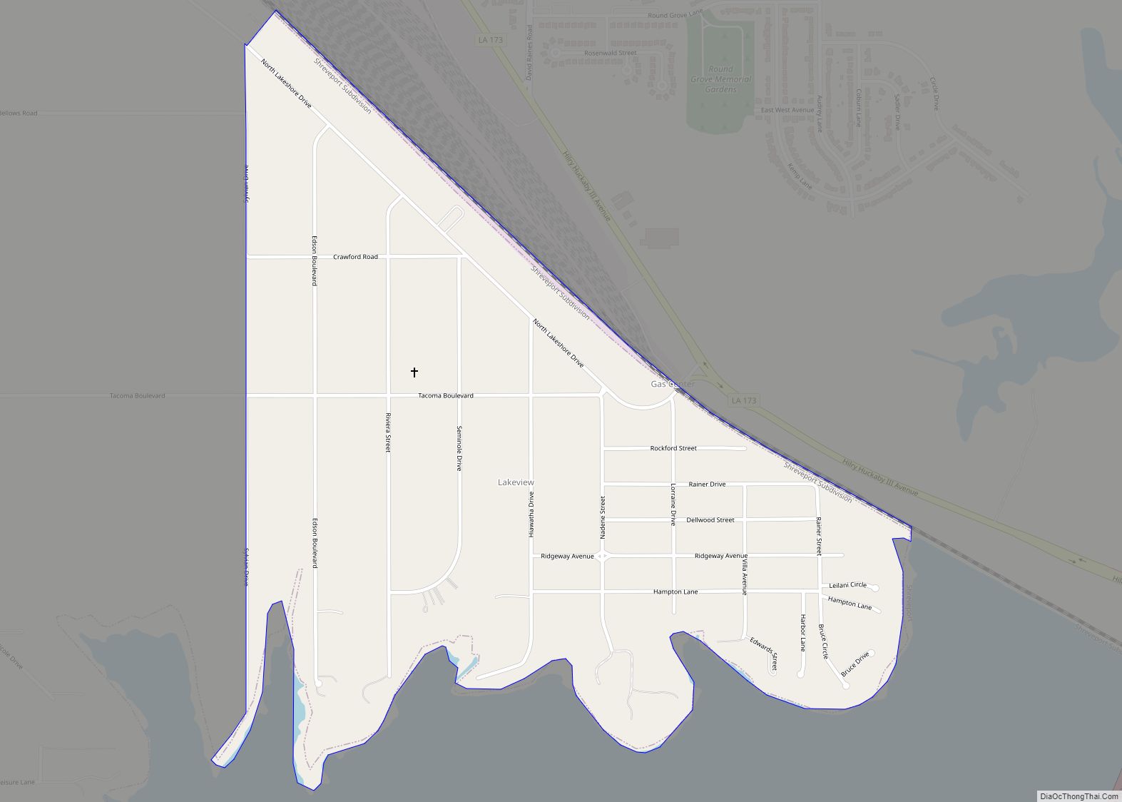
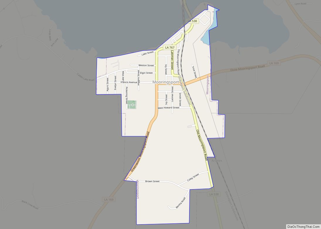
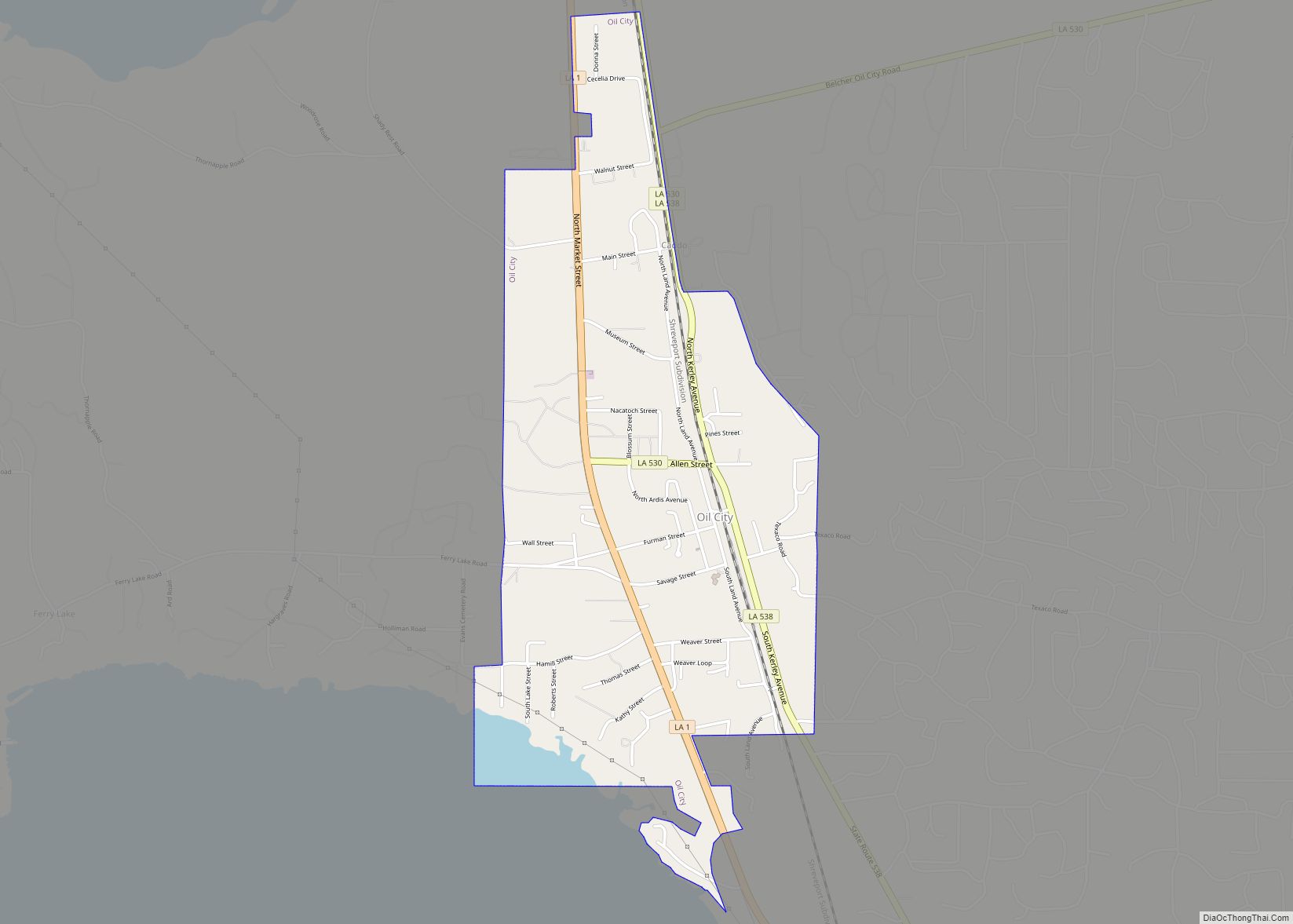
Online Interactive Map
Click on ![]() to view map in "full screen" mode.
to view map in "full screen" mode.
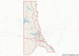
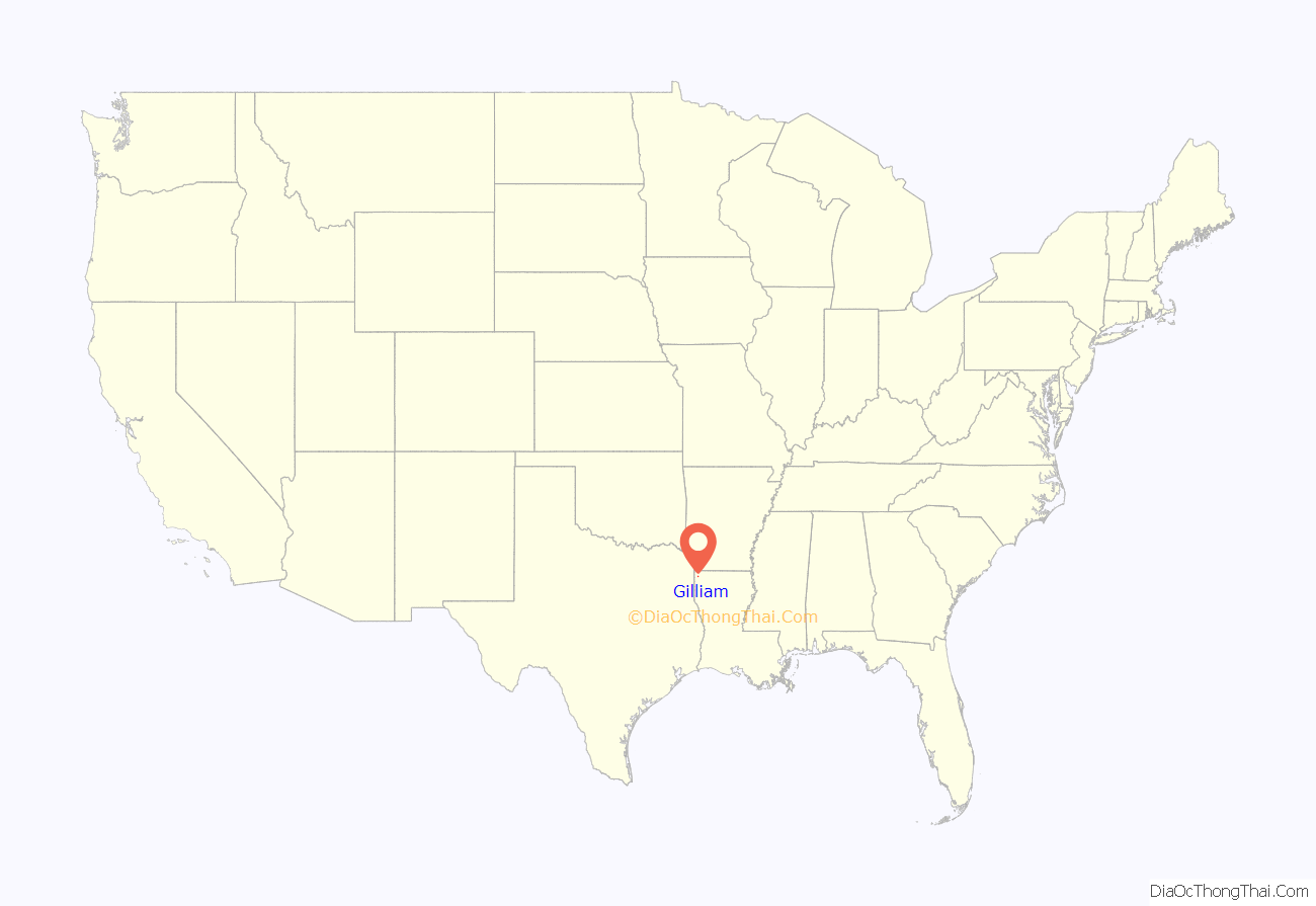
Gilliam location map. Where is Gilliam village?
History
On May 13, 1908, a tornado struck the community around dinnertime, killing 34 people and devastating the town, leaving only two homes standing. Fifteen others were killed in nearby communities.
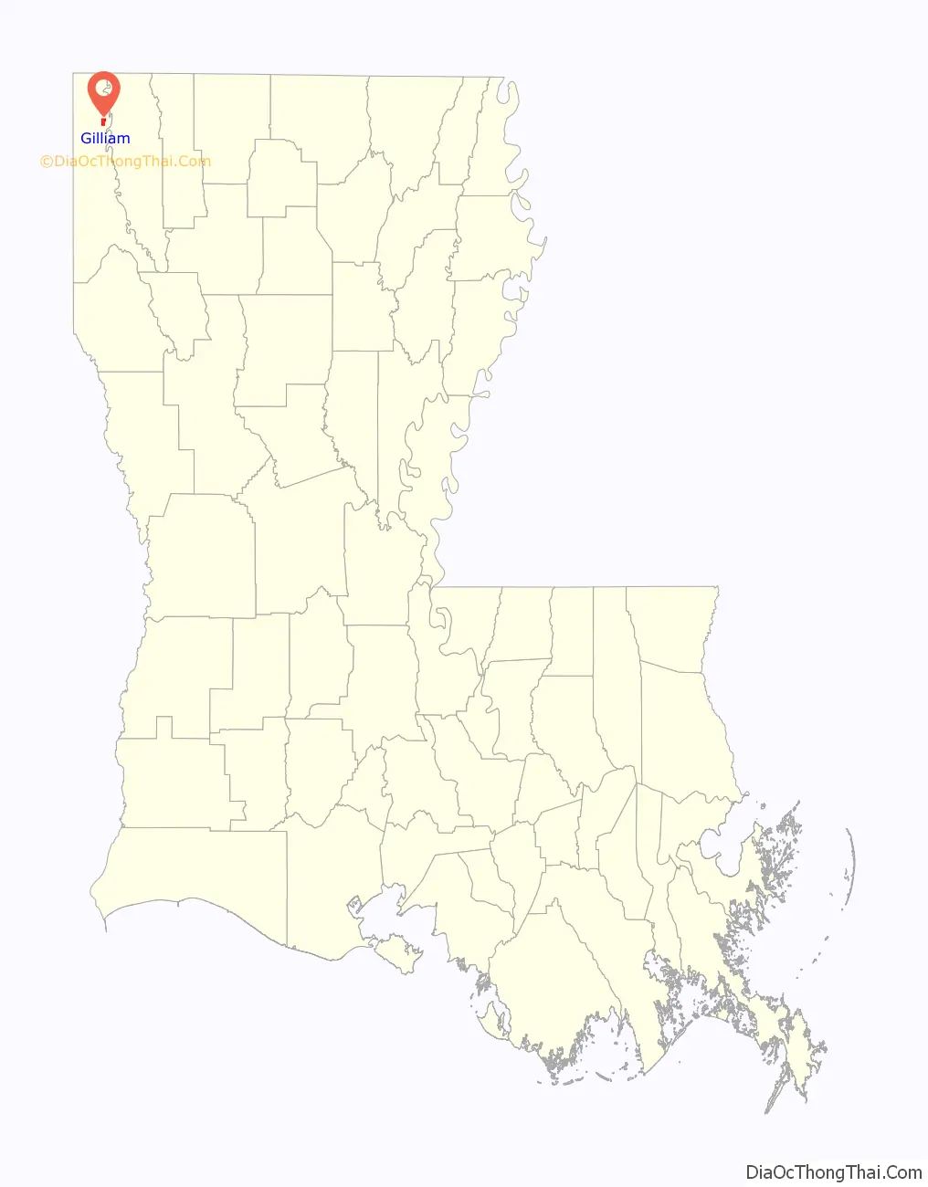
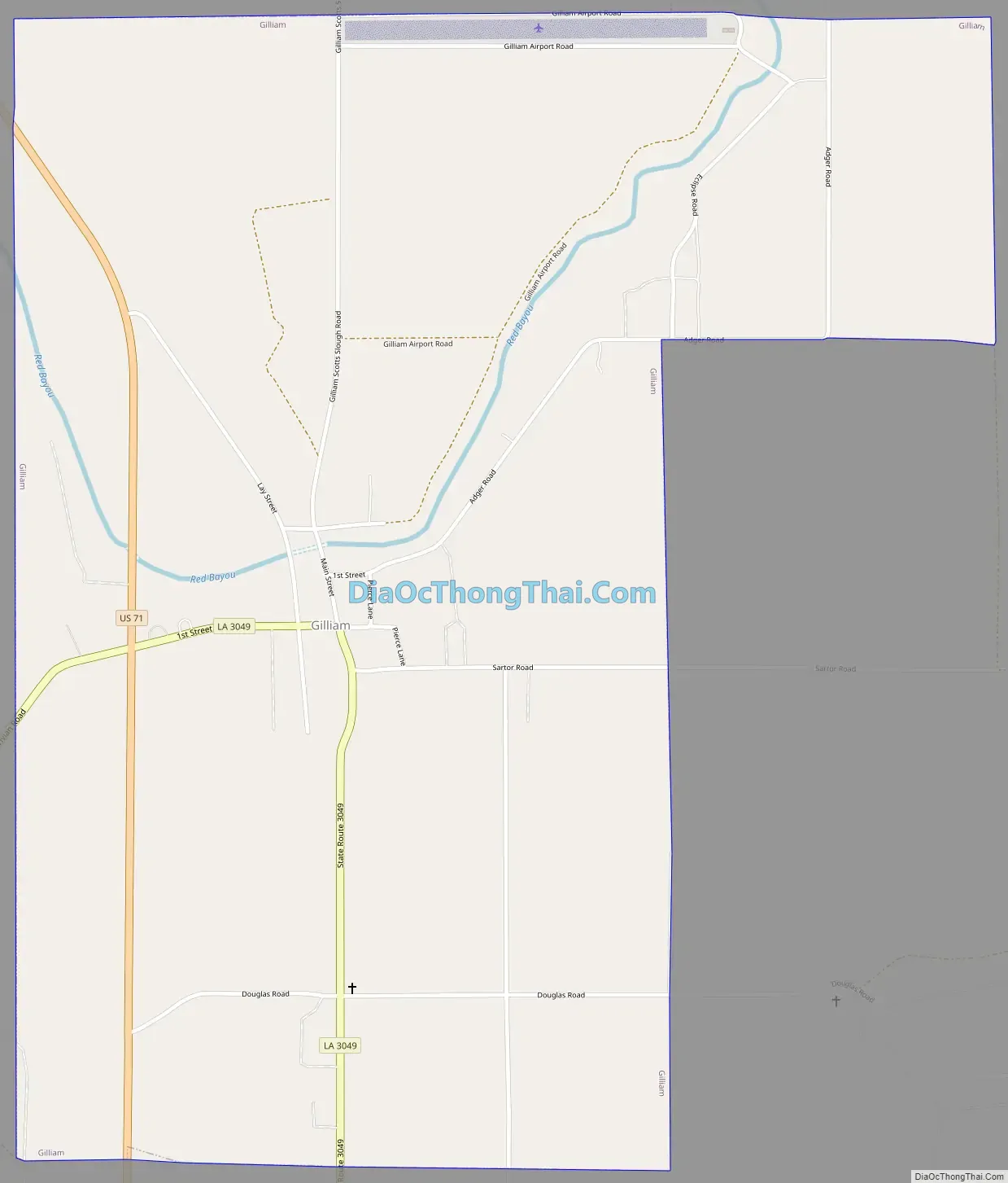
Gilliam Road Map
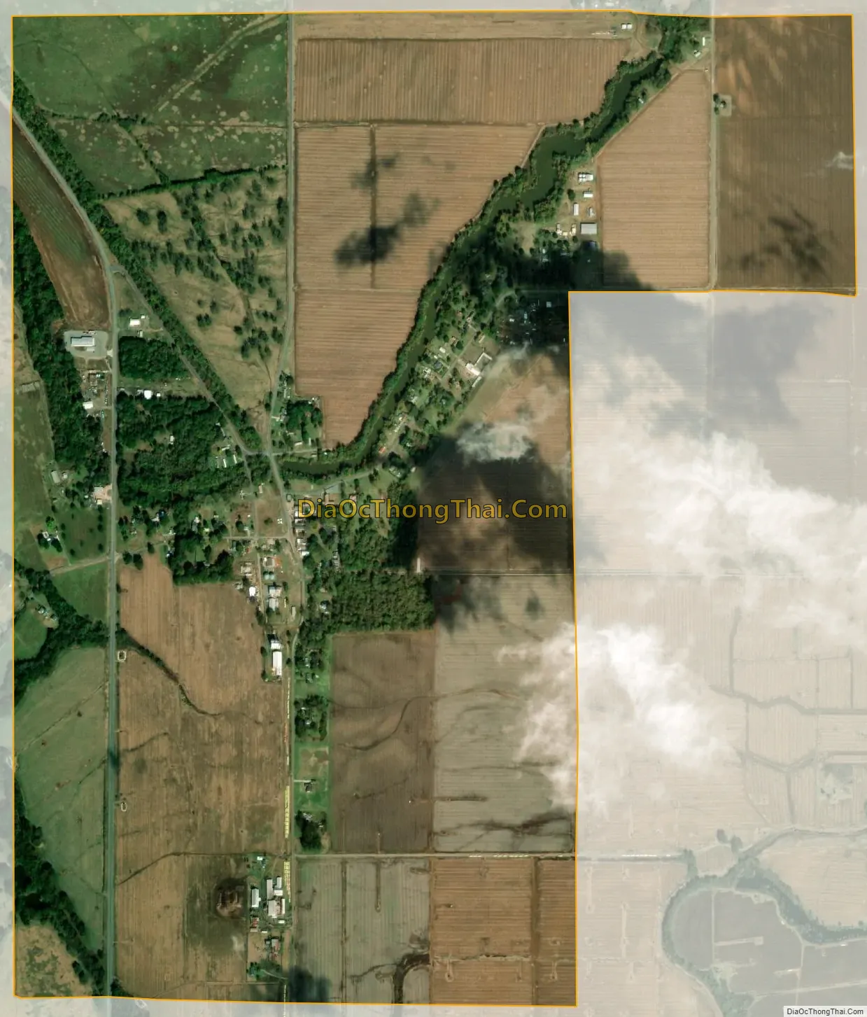
Gilliam city Satellite Map
Geography
Gilliam is located in northeastern Caddo Parish at 32°49′39″N 93°50′40″W / 32.82750°N 93.84444°W / 32.82750; -93.84444 (32.827585, -93.844388). U.S. Route 71 passes through the west side of the village, leading south 4 miles (6 km) to Belcher and 22 miles (35 km) to Shreveport. To the north, US 71 leads 4 miles (6 km) to Hosston and 14 miles (23 km) to the Arkansas border.
According to the United States Census Bureau, Gilliam has a total area of 2.0 square miles (5.2 km), all land.
See also
Map of Louisiana State and its subdivision:- Acadia
- Allen
- Ascension
- Assumption
- Avoyelles
- Beauregard
- Bienville
- Bossier
- Caddo
- Calcasieu
- Caldwell
- Cameron
- Catahoula
- Claiborne
- Concordia
- De Soto
- East Baton Rouge
- East Carroll
- East Feliciana
- Evangeline
- Franklin
- Grant
- Iberia
- Iberville
- Jackson
- Jefferson
- Jefferson Davis
- La Salle
- Lafayette
- Lafourche
- Lincoln
- Livingston
- Madison
- Morehouse
- Natchitoches
- Orleans
- Ouachita
- Plaquemines
- Pointe Coupee
- Rapides
- Red River
- Richland
- Sabine
- Saint Bernard
- Saint Charles
- Saint Helena
- Saint James
- Saint John the Baptist
- Saint Landry
- Saint Martin
- Saint Mary
- Saint Tammany
- Tangipahoa
- Tensas
- Terrebonne
- Union
- Vermilion
- Vernon
- Washington
- Webster
- West Baton Rouge
- West Carroll
- West Feliciana
- Winn
- Alabama
- Alaska
- Arizona
- Arkansas
- California
- Colorado
- Connecticut
- Delaware
- District of Columbia
- Florida
- Georgia
- Hawaii
- Idaho
- Illinois
- Indiana
- Iowa
- Kansas
- Kentucky
- Louisiana
- Maine
- Maryland
- Massachusetts
- Michigan
- Minnesota
- Mississippi
- Missouri
- Montana
- Nebraska
- Nevada
- New Hampshire
- New Jersey
- New Mexico
- New York
- North Carolina
- North Dakota
- Ohio
- Oklahoma
- Oregon
- Pennsylvania
- Rhode Island
- South Carolina
- South Dakota
- Tennessee
- Texas
- Utah
- Vermont
- Virginia
- Washington
- West Virginia
- Wisconsin
- Wyoming