Grand Cane is a village in DeSoto Parish, Louisiana, United States. The population was 242 at the 2010 census, up from 191 in 2000. It is part of the Shreveport–Bossier City Metropolitan Statistical Area. It is the hometown of women’s basketball pioneer Linda Gamble.
| Name: | Grand Cane village |
|---|---|
| LSAD Code: | 47 |
| LSAD Description: | village (suffix) |
| State: | Louisiana |
| County: | De Soto Parish |
| Incorporated: | 1899 |
| Elevation: | 299 ft (91 m) |
| Total Area: | 1.15 sq mi (2.99 km²) |
| Land Area: | 1.13 sq mi (2.93 km²) |
| Water Area: | 0.02 sq mi (0.05 km²) |
| Total Population: | 217 |
| Population Density: | 191.70/sq mi (73.99/km²) |
| Area code: | 318 |
| FIPS code: | 2230690 |
| Website: | www.villageofgrandcane.com |
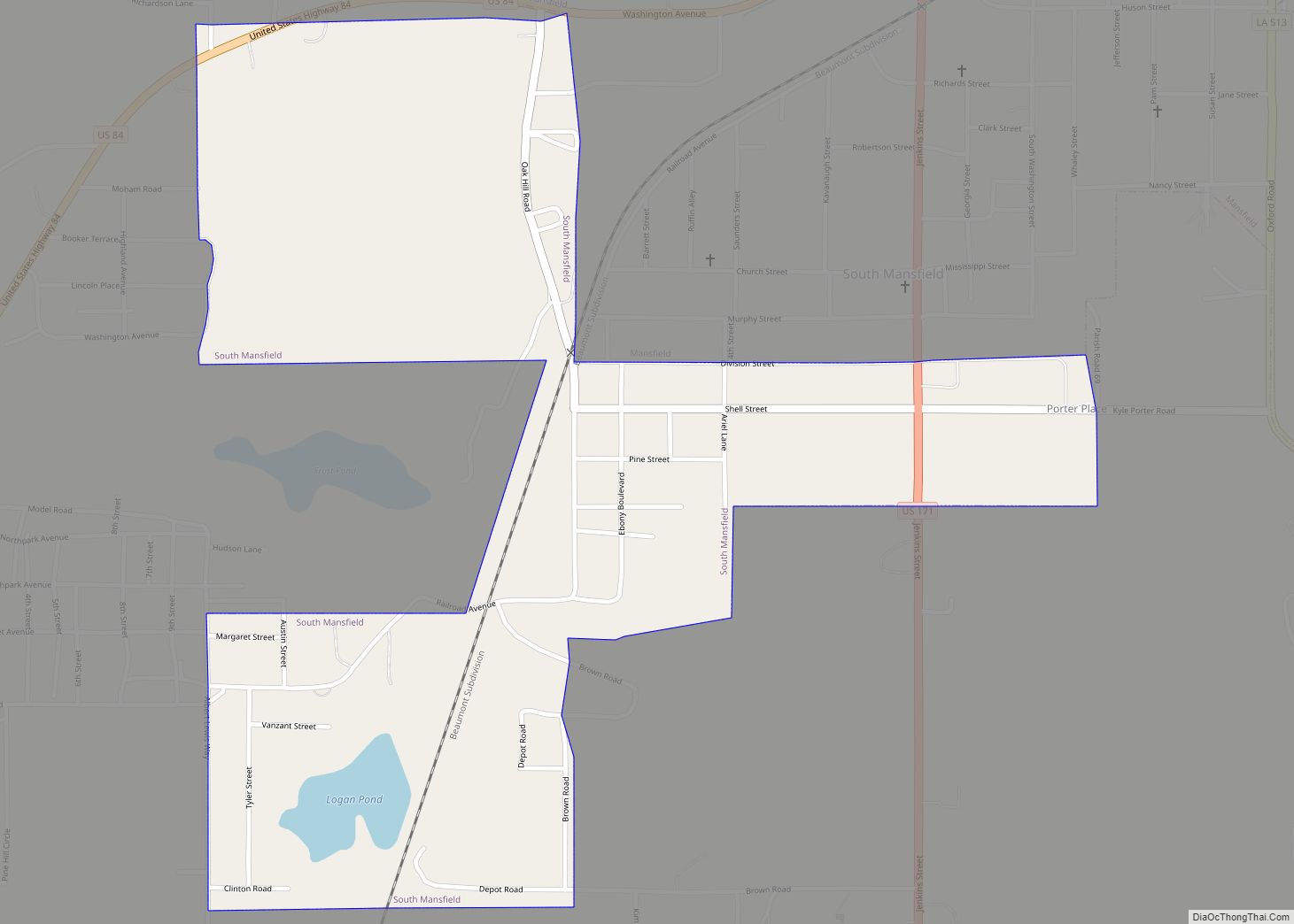
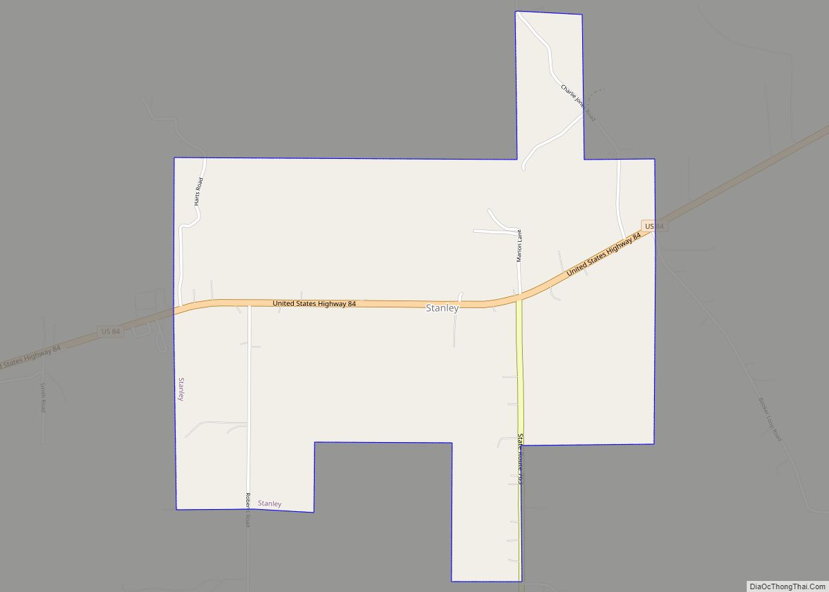
Online Interactive Map
Click on ![]() to view map in "full screen" mode.
to view map in "full screen" mode.
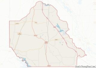
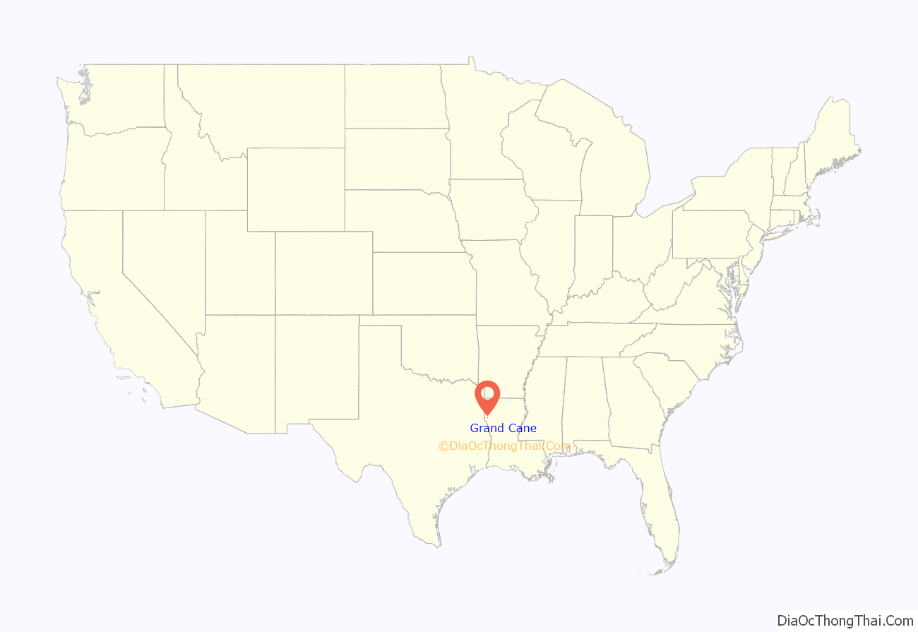
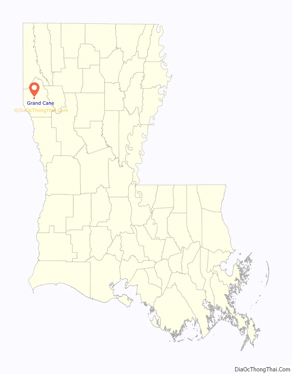
Grand Cane location map. Where is Grand Cane village?
History
Prior to the incorporation of the village of Grand Cane in 1899, the settlement of four families (Thomas Abington, Israel Rogers, Wright Hobgood, and John Wagner) influenced the development of the area around two wagon trails that intersected in the sparsely populated area known as the Grand Cane Territory. In 1881, Amanda Hobgood (widow of Wright Hobgood) deeded land to the New Orleans & Pacific Railway and had the village of Grand Cane laid out in lots and streets. By 1899, the village was incorporated, and the first mayor was E.R. Fortson. The first village councilmen were Paul E. Allen, Loderick Monroe Cook, and Dr. J.B. Johns. The population soon grew to almost 500.
As the village developed, spurred by the railway and the two crossroads (LA Hwys. 171 and 3015),a business community developed which included seven stores, a dentist, bank, post office, blacksmith shop, livery stable, two hotels, four doctors (Drs. Broadway, Leopold, Bannaman, & Curtis), three drug stores (Edwards, Leopold, & Allen), telephone office, newspaper, restaurant, two cotton gins, and various distinguished residential homes. The community was enhanced by the first accredited public high school in Louisiana, and a Presbyterian, Methodist, and two Baptist churches.
The village continued to thrive until the Great Depression of 1929. The downward spiral continued with the demise of the Texas & Pacific Railway in the late 1950s. The steady decline of agricultural industry, the lack of new businesses, the loss of the public school, and a general movement away from the rural area saw the end of the village as a center for trade. Grand Cane, like so many small towns left behind by progress, simply went to sleep until 1993, when the village used funds from a rural development grant from the state of Louisiana to purchase the Hicks & Richardson building.
This action spurred the passage of a preservation ordinance, creating the Grand Cane Preservation Commission, which resulted in the subsequent listing on the National Register of Historic Places of several buildings in the Historic District (Platt, Old Post Office, Cook & Douglas, Hicks & Richardson, & Ricks Bros.). These buildings joined the Village Hall and the Grand Cane Methodist Church that had obtained earlier listings.
Present day
The Historic District was added to the National Register of Historic Places in 1995, including the Village Hall (Bank of Grand Cane) which gained National Register status earlier in 1988. The Historic District status recognizes the fact that the exterior of the buildings in this short block and a half have remained much the same as when they were built around the turn of the century. Grand Cane is the home of the historic Cook-Hill House Bed and Breakfast. Buildings listed on the National Register include the following. The W.W. Platt Dental Office was built in 1939. The George N. Parker Company building (1910) was a general merchandise store advertised as “The Shoe and Hat Specialist”. The Cook & Douglas Building (1903, owners L.M. Cook & Charles A. Douglas), advertised as a general merchandise and plantation supply store, with “Highest prices paid for Cotton & Cotton Seed”; the adjoining side building served as a storage for the Cook & Douglas Building. The Bank of Grand Cane Building (circa 1902), served as a bank until 1970, when the building was donated to the village. It now is the Grand Cane village hall and is affectionately referred to as “the Village”. The first Grand Cane Bank was headed by W.H. Smith. The bank has a very colorful history, and was robbed several times. The building was placed on the National Register of Historic Places on February 11, 1988. The Hicks & Richardson Building, circa 1902, housed an established “General Merchandise and Plantation supplies” store. It featured staples and fancy groceries along with buggies and wagons. The Ricks Brothers Building, circa 1915, later became Gamble Brothers. General merchandise and groceries were sold and delivered to homes. Today, these buildings house shops, restaurants, the village hall, a community theater and a “mall” of diverse businesses.
In September 2009 the Village of Grand Cane Cultural District was certified by the Louisiana Cultural Districts, Department of Culture, Recreation and Tourism. This initiative has added to the community revitalization with added cultural activity by the DeSoto Arts Council and the establishment of the DeSoto Arts Council Gallery, where original art can be purchased tax free. The DAC Gallery is located in the Hicks-Richardson Building. Also located in the Hicks Richardson Building is the Back Alley Theater and the Raven Book Store.
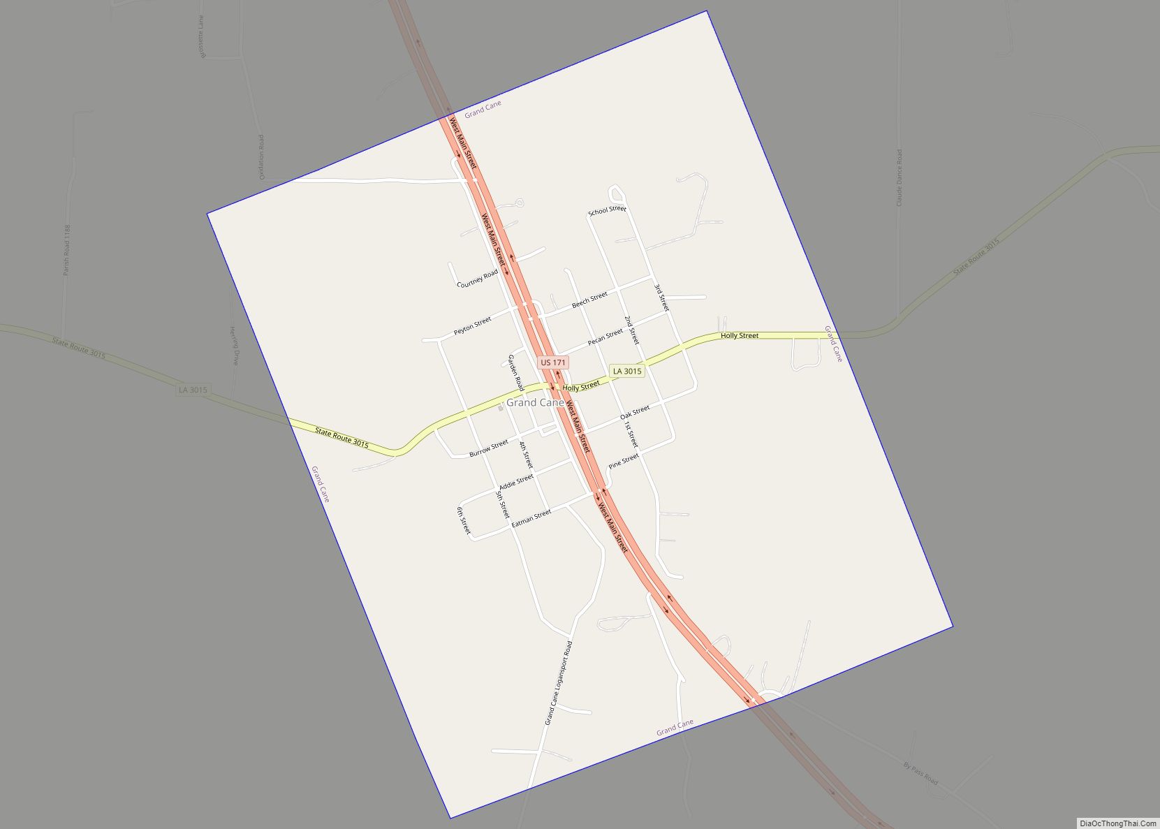
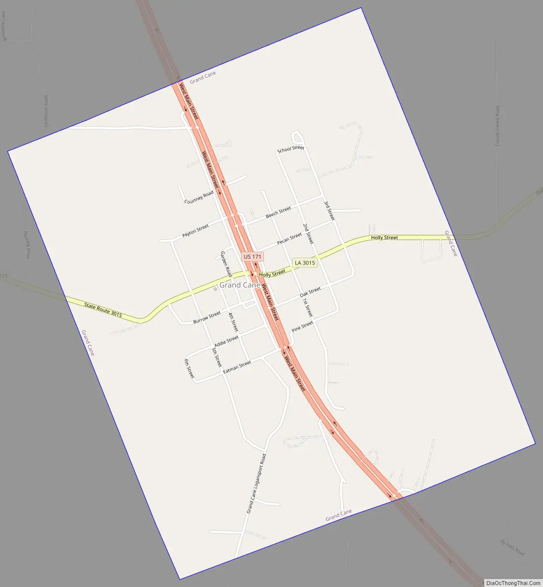
Grand Cane Road Map
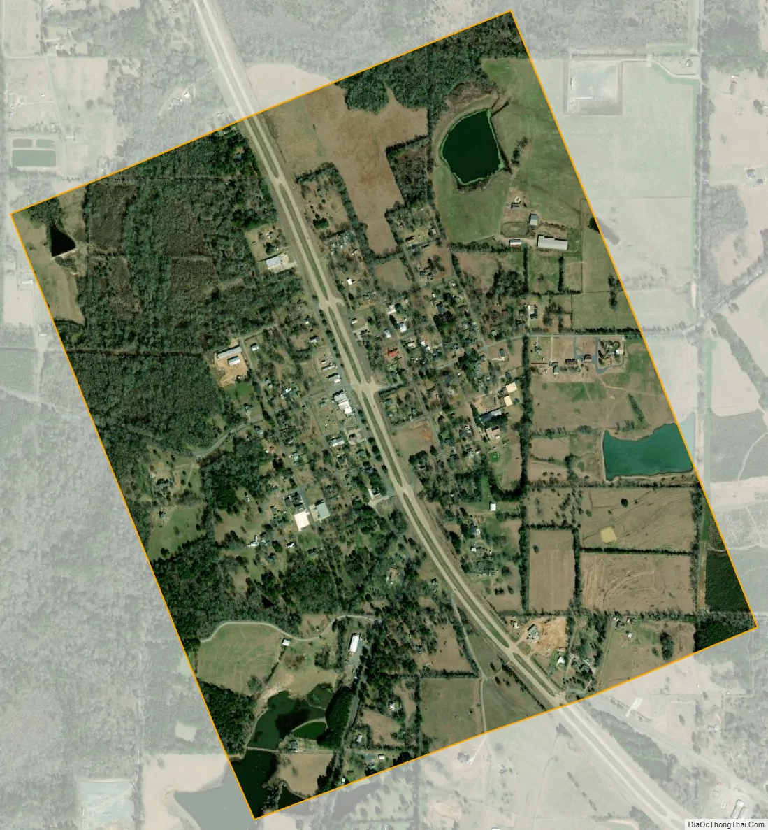
Grand Cane city Satellite Map
Geography
Grand Cane is located in central Desoto Parish at 32°5′1″N 93°48′33″W / 32.08361°N 93.80917°W / 32.08361; -93.80917 (32.083747, -93.809170). U.S. Route 171 passes through the center of town, leading southeast 7 miles (11 km) to Mansfield, the parish seat, and north 14 miles (23 km) to Stonewall.
According to the United States Census Bureau, the village of Grand Cane has a total area of 1.2 square miles (3.0 km), of which 0.02 square miles (0.05 km), or 1.82%, is water.
See also
Map of Louisiana State and its subdivision:- Acadia
- Allen
- Ascension
- Assumption
- Avoyelles
- Beauregard
- Bienville
- Bossier
- Caddo
- Calcasieu
- Caldwell
- Cameron
- Catahoula
- Claiborne
- Concordia
- De Soto
- East Baton Rouge
- East Carroll
- East Feliciana
- Evangeline
- Franklin
- Grant
- Iberia
- Iberville
- Jackson
- Jefferson
- Jefferson Davis
- La Salle
- Lafayette
- Lafourche
- Lincoln
- Livingston
- Madison
- Morehouse
- Natchitoches
- Orleans
- Ouachita
- Plaquemines
- Pointe Coupee
- Rapides
- Red River
- Richland
- Sabine
- Saint Bernard
- Saint Charles
- Saint Helena
- Saint James
- Saint John the Baptist
- Saint Landry
- Saint Martin
- Saint Mary
- Saint Tammany
- Tangipahoa
- Tensas
- Terrebonne
- Union
- Vermilion
- Vernon
- Washington
- Webster
- West Baton Rouge
- West Carroll
- West Feliciana
- Winn
- Alabama
- Alaska
- Arizona
- Arkansas
- California
- Colorado
- Connecticut
- Delaware
- District of Columbia
- Florida
- Georgia
- Hawaii
- Idaho
- Illinois
- Indiana
- Iowa
- Kansas
- Kentucky
- Louisiana
- Maine
- Maryland
- Massachusetts
- Michigan
- Minnesota
- Mississippi
- Missouri
- Montana
- Nebraska
- Nevada
- New Hampshire
- New Jersey
- New Mexico
- New York
- North Carolina
- North Dakota
- Ohio
- Oklahoma
- Oregon
- Pennsylvania
- Rhode Island
- South Carolina
- South Dakota
- Tennessee
- Texas
- Utah
- Vermont
- Virginia
- Washington
- West Virginia
- Wisconsin
- Wyoming