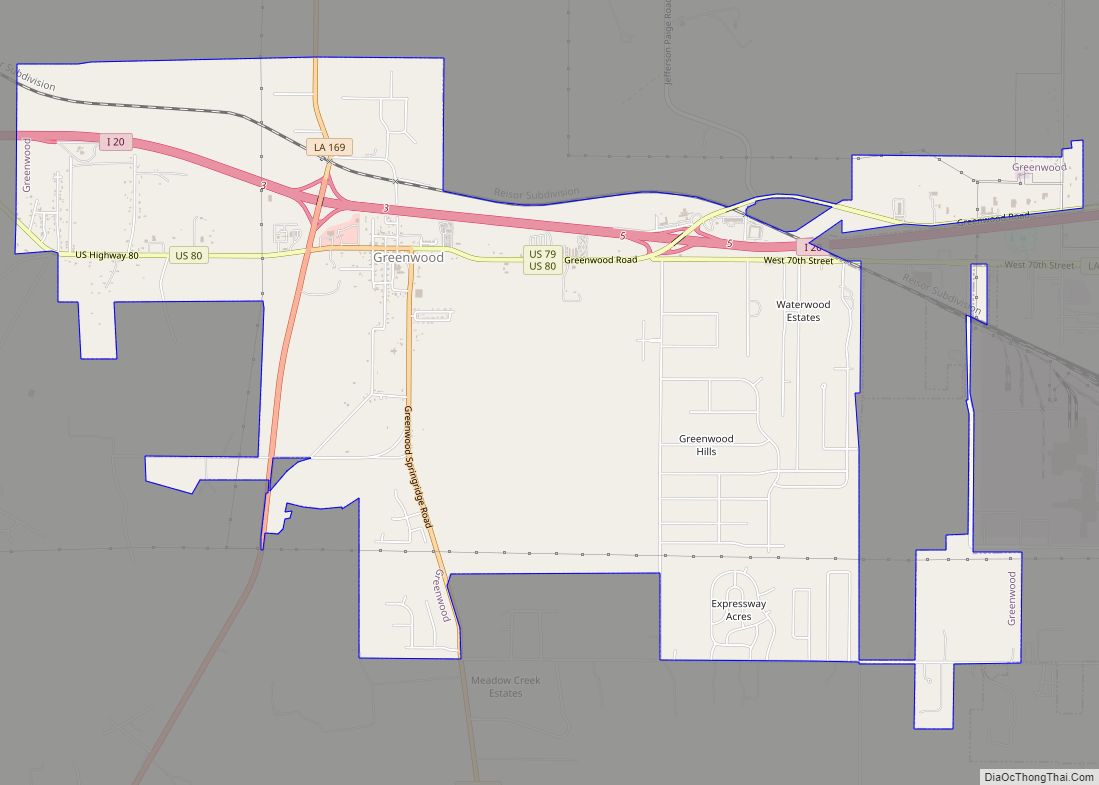
Greenwood is a suburban town in southern Caddo Parish, which is located in the northwest corner of the U.S. state of Louisiana. With a population of 3,166 at the 2020 United States census, it is the third most populous incorporated municipality in Caddo Parish after Shreveport and Blanchard. Part of the Shreveport-Bossier City metropolitan statistical area, it is located 15 miles west of downtown Shreveport.
| Name: | Greenwood town |
|---|---|
| LSAD Code: | 43 |
| LSAD Description: | town (suffix) |
| State: | Louisiana |
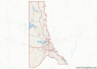
| County: | Caddo Parish |
| Founded: | 1839 |
| Elevation: | 249 ft (76 m) |
| Total Area: | 9.01 sq mi (23.34 km²) |
| Land Area: | 8.99 sq mi (23.29 km²) |
| Water Area: | 0.02 sq mi (0.04 km²) |
| Total Population: | 3,166 |
| Population Density: | 352.01/sq mi (135.91/km²) |
| Area code: | 318 |
| FIPS code: | 2231705 |
| Website: | greenwoodla.org |
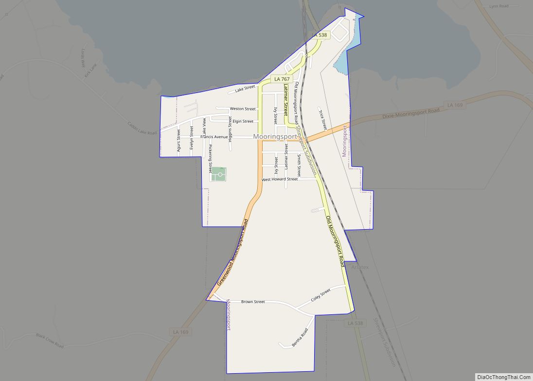
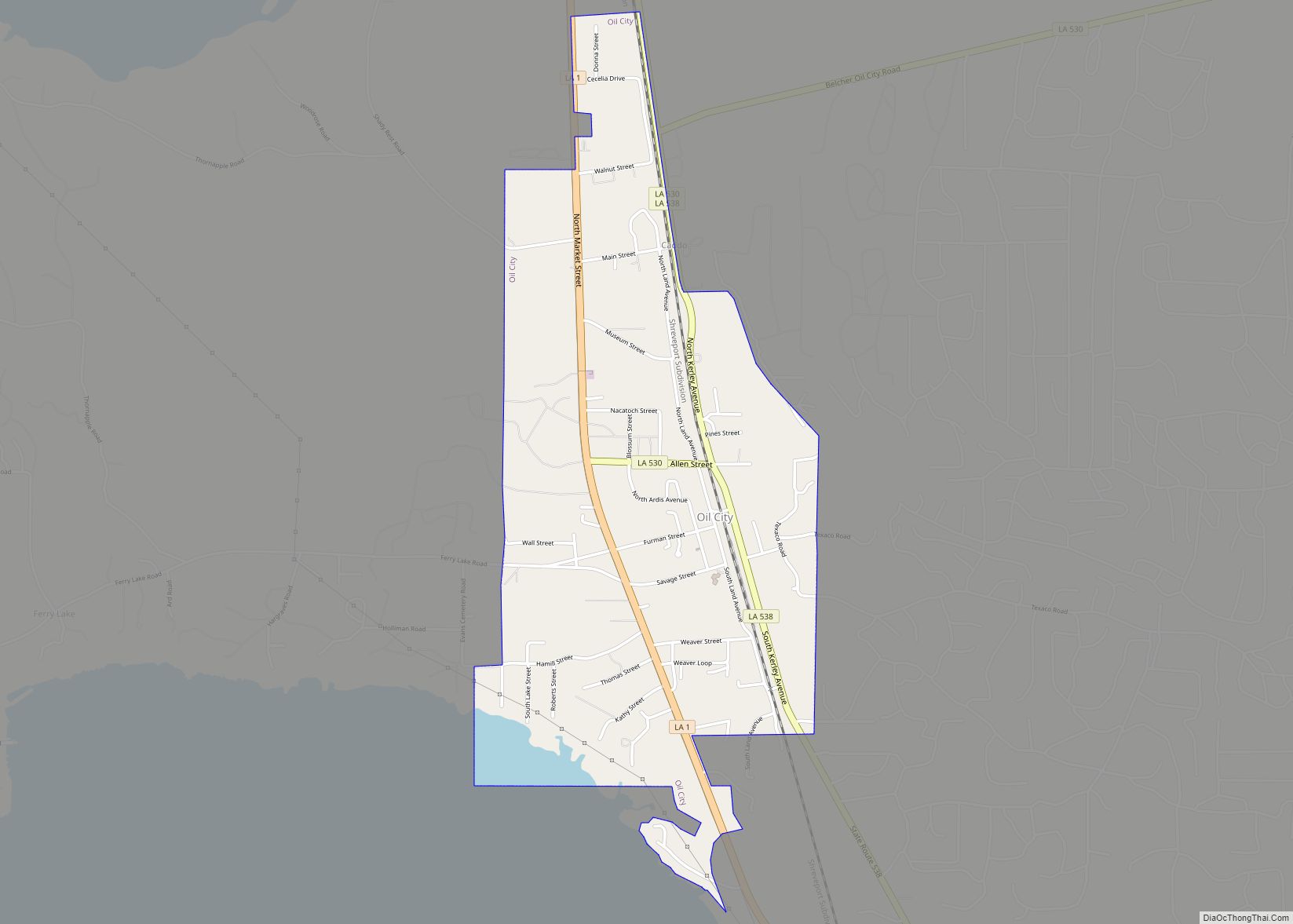
Online Interactive Map
Click on ![]() to view map in "full screen" mode.
to view map in "full screen" mode.
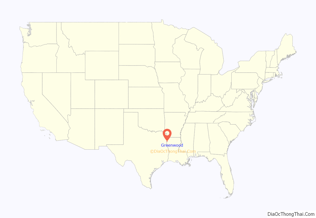
Greenwood location map. Where is Greenwood town?
History
Greenwood was established by European Americans in 1839 after the forced Indian Removal of the Caddo people to Indian Territory (now Oklahoma) west of the Mississippi River.
As in the rest of Louisiana, most Black or African Americans were disenfranchised from the turn of the 20th century into the 1960s, and the state was dominated by white Democrats; Caddo Parish Sheriff J. Howell Flournoy, who served a record 26 years in office from 1940 to 1966, was born in Greenwood in 1891 and was part of the political Flournoy dynasty.
Earnest Lampkins (1928-2018), a native of Shreveport, earned a PhD and had a career as a music educator. He taught music at all levels, becoming supervisor of music for Caddo Parish. He founded the Louisiana School of Professions. In 2004, Lampkins was elected as the first black mayor of Greenwood, where he had long been active in the community. Against running for a second term, Lampkins ceased any intentions due to gunshots fired into his house, alongside continued threats and racism.
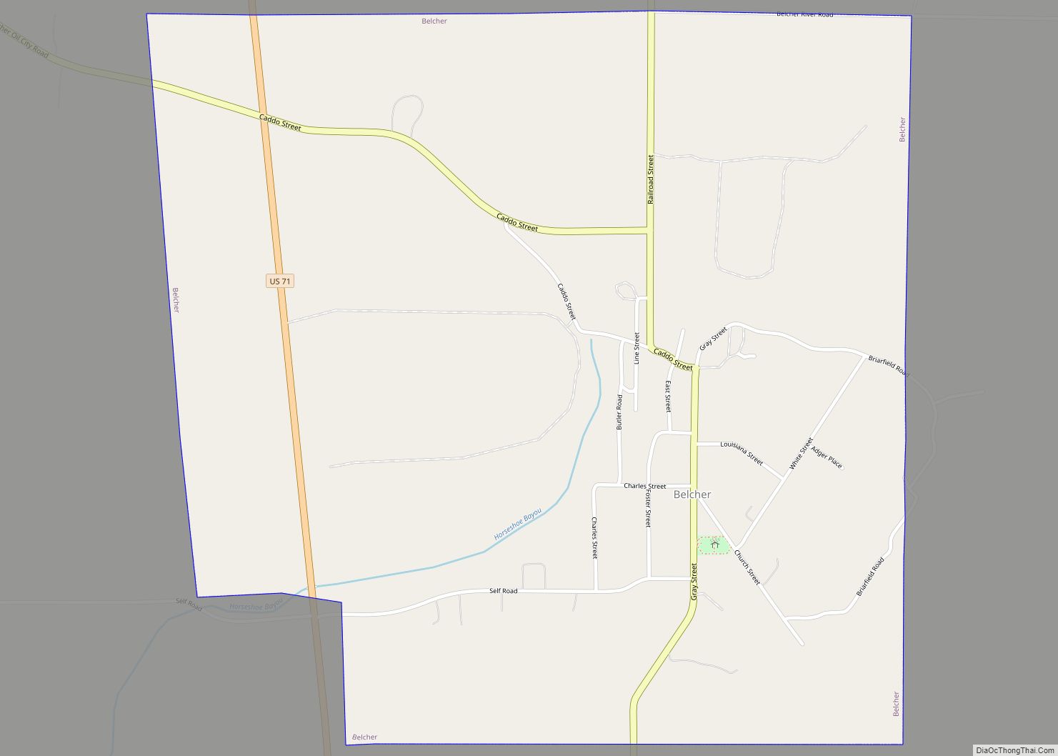
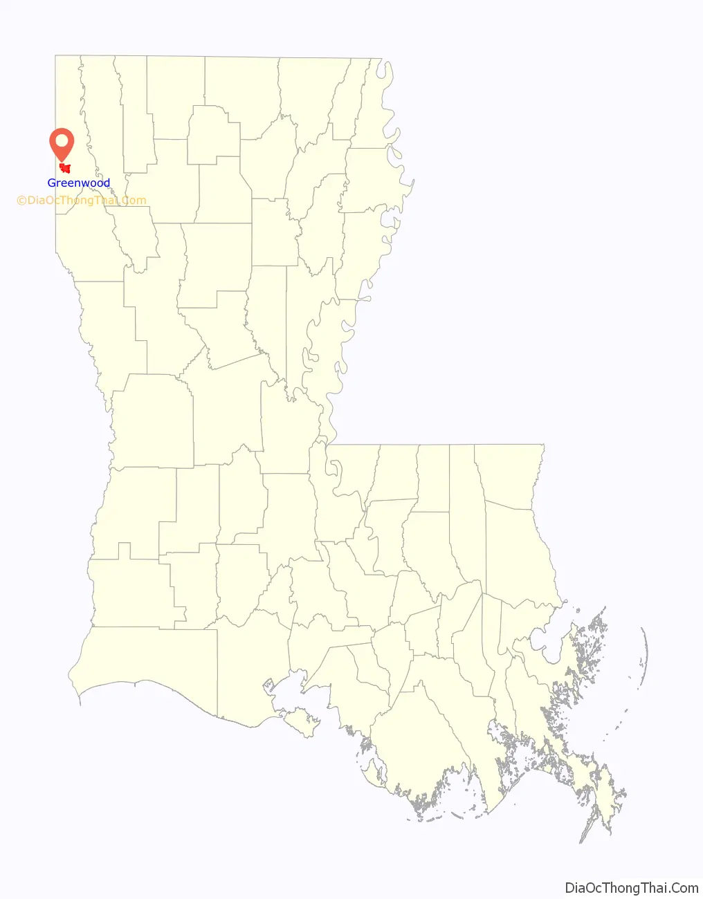
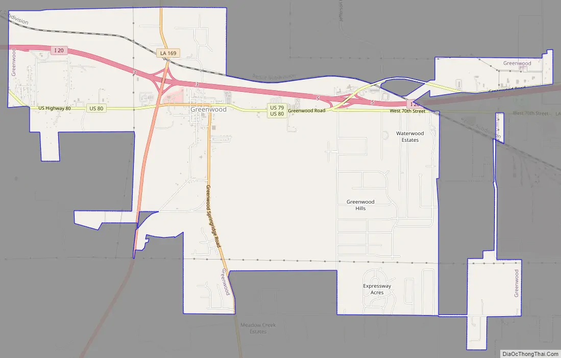
Greenwood Road Map
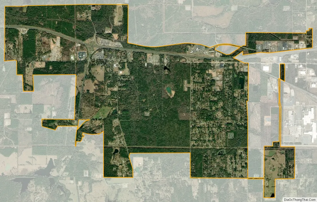
Greenwood city Satellite Map
Geography
Greenwood is located in western Caddo Parish at 32°26′10″N 93°57′50″W / 32.43611°N 93.96389°W / 32.43611; -93.96389 (32.436051, -93.963902). Greenwood Road (U.S. Routes 80 and 79) is the main route through the center of town. Interstate 20 passes through the northern part of the town, with access from exits 3 and 5. Downtown Shreveport is 15 miles (24 km) to the east, and Waskom, Texas, is 6 miles (10 km) to the west. Carthage, Texas, is 31 miles (50 km) to the southwest down U.S. 79. Greenwood is approximately 165 miles east of Dallas, Texas, and about 290 miles northwest of New Orleans.
According to the United States Census Bureau, Greenwood has a total area of 9.0 square miles (23.3 km), of which 0.02 square miles (0.04 km), or 0.19%, is water.
See also
Map of Louisiana State and its subdivision:- Acadia
- Allen
- Ascension
- Assumption
- Avoyelles
- Beauregard
- Bienville
- Bossier
- Caddo
- Calcasieu
- Caldwell
- Cameron
- Catahoula
- Claiborne
- Concordia
- De Soto
- East Baton Rouge
- East Carroll
- East Feliciana
- Evangeline
- Franklin
- Grant
- Iberia
- Iberville
- Jackson
- Jefferson
- Jefferson Davis
- La Salle
- Lafayette
- Lafourche
- Lincoln
- Livingston
- Madison
- Morehouse
- Natchitoches
- Orleans
- Ouachita
- Plaquemines
- Pointe Coupee
- Rapides
- Red River
- Richland
- Sabine
- Saint Bernard
- Saint Charles
- Saint Helena
- Saint James
- Saint John the Baptist
- Saint Landry
- Saint Martin
- Saint Mary
- Saint Tammany
- Tangipahoa
- Tensas
- Terrebonne
- Union
- Vermilion
- Vernon
- Washington
- Webster
- West Baton Rouge
- West Carroll
- West Feliciana
- Winn
- Alabama
- Alaska
- Arizona
- Arkansas
- California
- Colorado
- Connecticut
- Delaware
- District of Columbia
- Florida
- Georgia
- Hawaii
- Idaho
- Illinois
- Indiana
- Iowa
- Kansas
- Kentucky
- Louisiana
- Maine
- Maryland
- Massachusetts
- Michigan
- Minnesota
- Mississippi
- Missouri
- Montana
- Nebraska
- Nevada
- New Hampshire
- New Jersey
- New Mexico
- New York
- North Carolina
- North Dakota
- Ohio
- Oklahoma
- Oregon
- Pennsylvania
- Rhode Island
- South Carolina
- South Dakota
- Tennessee
- Texas
- Utah
- Vermont
- Virginia
- Washington
- West Virginia
- Wisconsin
- Wyoming