Heflin is a village in southern Webster Parish, Louisiana, United States. The population was 245 at the 2000 census. It is part of the Minden Micropolitan Statistical Area.
On April 5, 2013, voters by a margin of 50-30 recalled Mayor Judy Tillman, a Democrat, from office. No candidate qualified to fill the mayor’s office in a special election scheduled for October 19. When filing reopened, the Republican Ralph Lee James (born February 1956) filed for mayor without opposition in the October 19 election.
| Name: | Heflin village |
|---|---|
| LSAD Code: | 47 |
| LSAD Description: | village (suffix) |
| State: | Louisiana |
| County: | Webster Parish |
| Elevation: | 272 ft (83 m) |
| Total Area: | 1.93 sq mi (5.00 km²) |
| Land Area: | 1.91 sq mi (4.95 km²) |
| Water Area: | 0.02 sq mi (0.05 km²) |
| Total Population: | 213 |
| Population Density: | 111.34/sq mi (42.99/km²) |
| Area code: | 318 |
| FIPS code: | 2233735 |
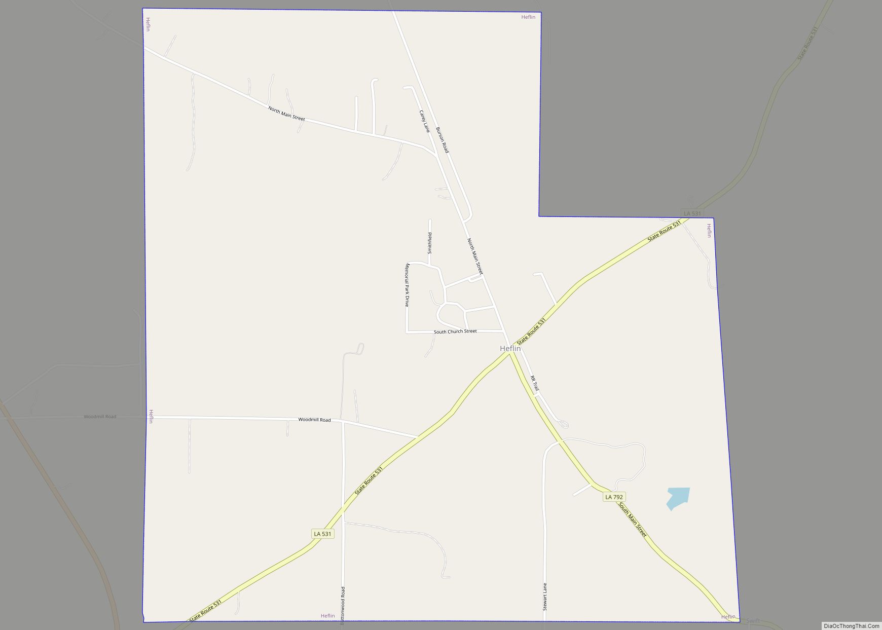
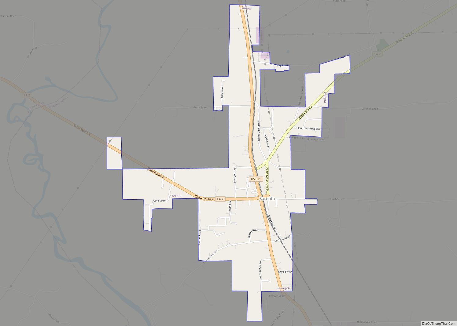
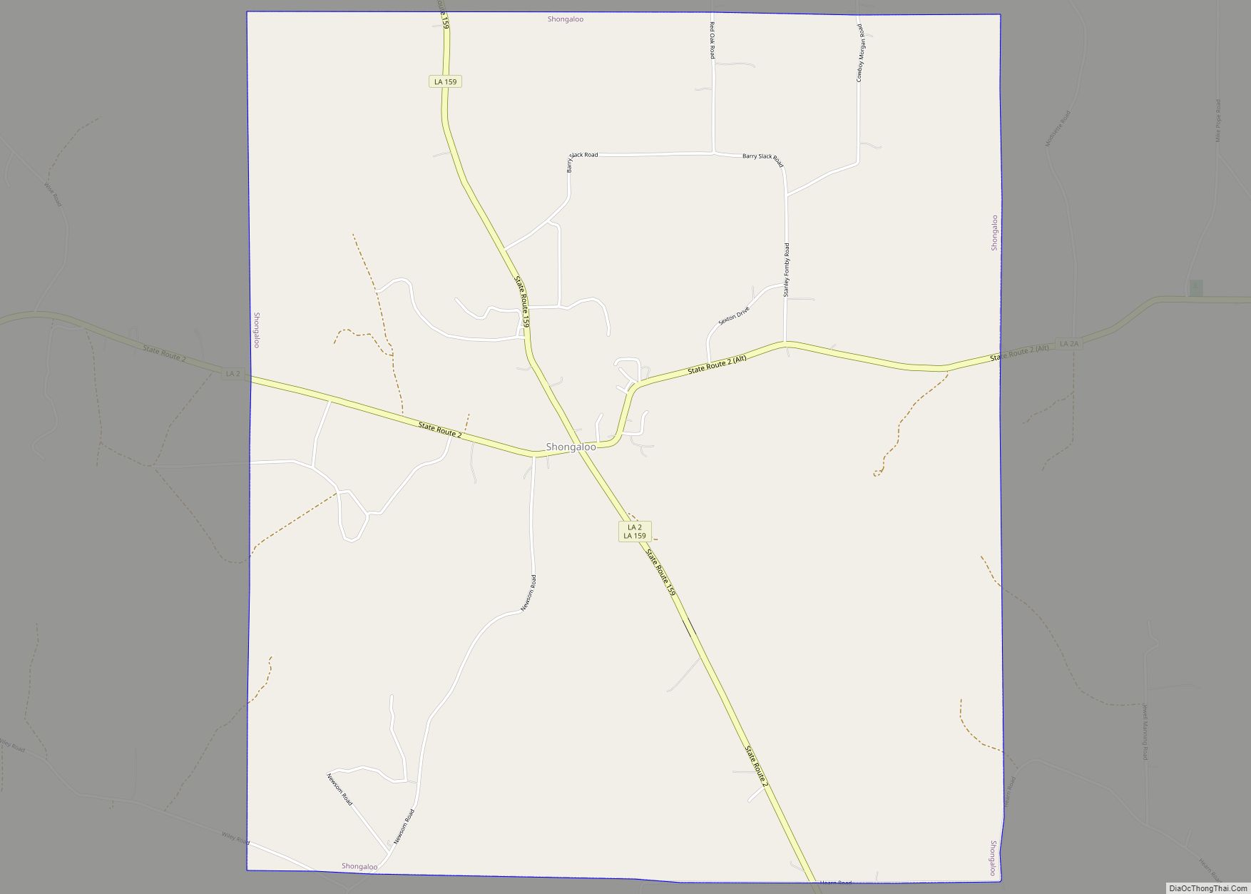
Online Interactive Map
Click on ![]() to view map in "full screen" mode.
to view map in "full screen" mode.
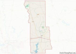
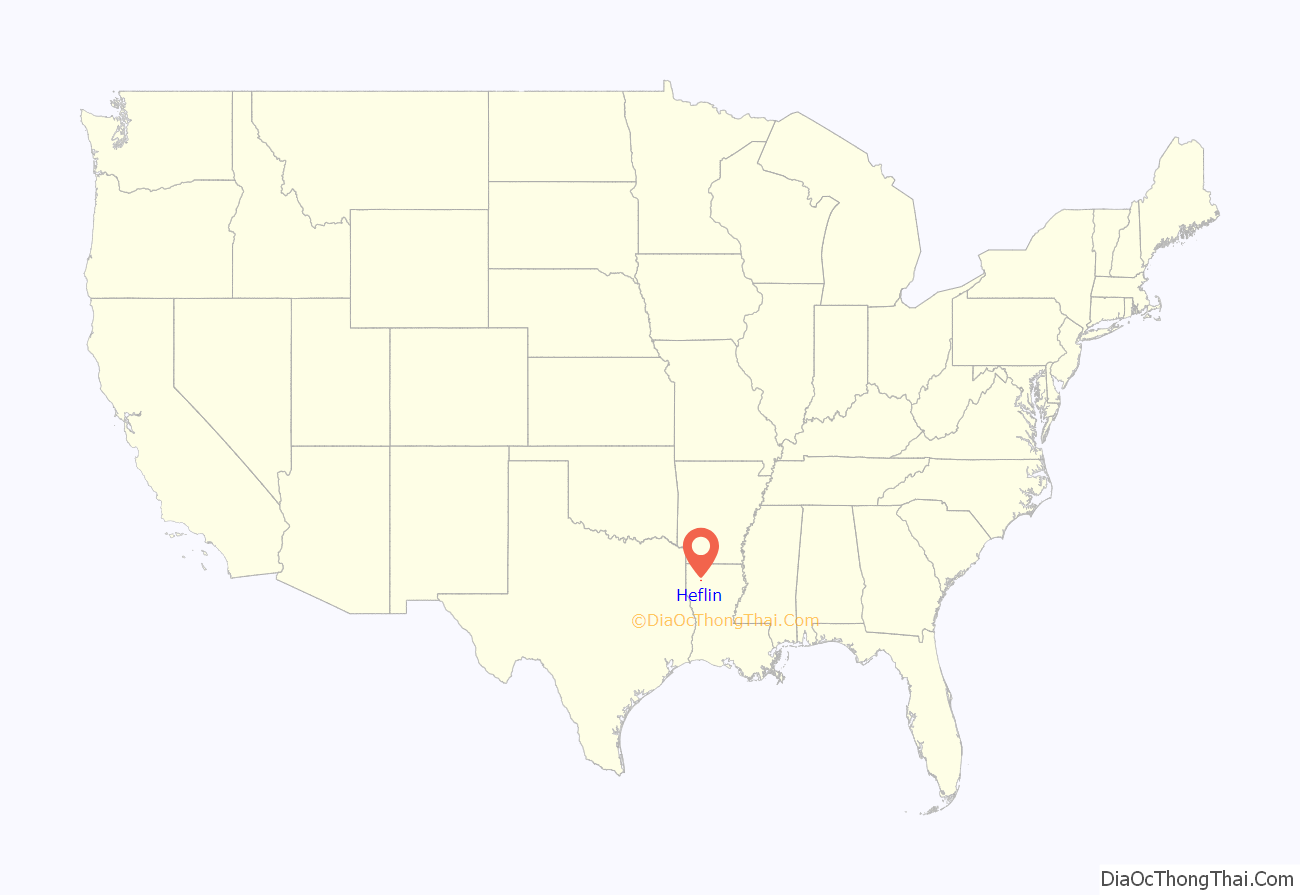
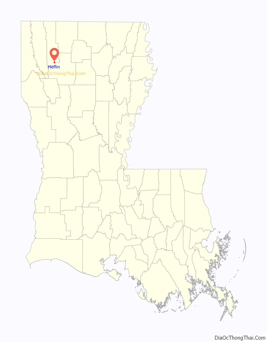
Heflin location map. Where is Heflin village?
History
Heflin is named for Alabama native Charles Buckner Heflin (1829-1910), a veteran of the Confederate Army who thereafter operated a cotton gin and was engaged in the planting and mercantile business in south Webster Parish. Charles Heflin was for eight years a member of the Webster Parish Police Jury, the parish governing body, and the Webster Parish Democratic Executive Committee. He was affiliated with the Masonic lodge. He was the father-in-law of J. S. Bacon, a member from 1926 to 1932 of the Louisiana House of Representatives from Heflin. One of Charles Heflin’s sons, William Thomas Heflin (1868-1936), a native of Webster Parish, was engaged in the timber business and was elected in 1916 as the sheriff of Winn Parish in North Louisiana.
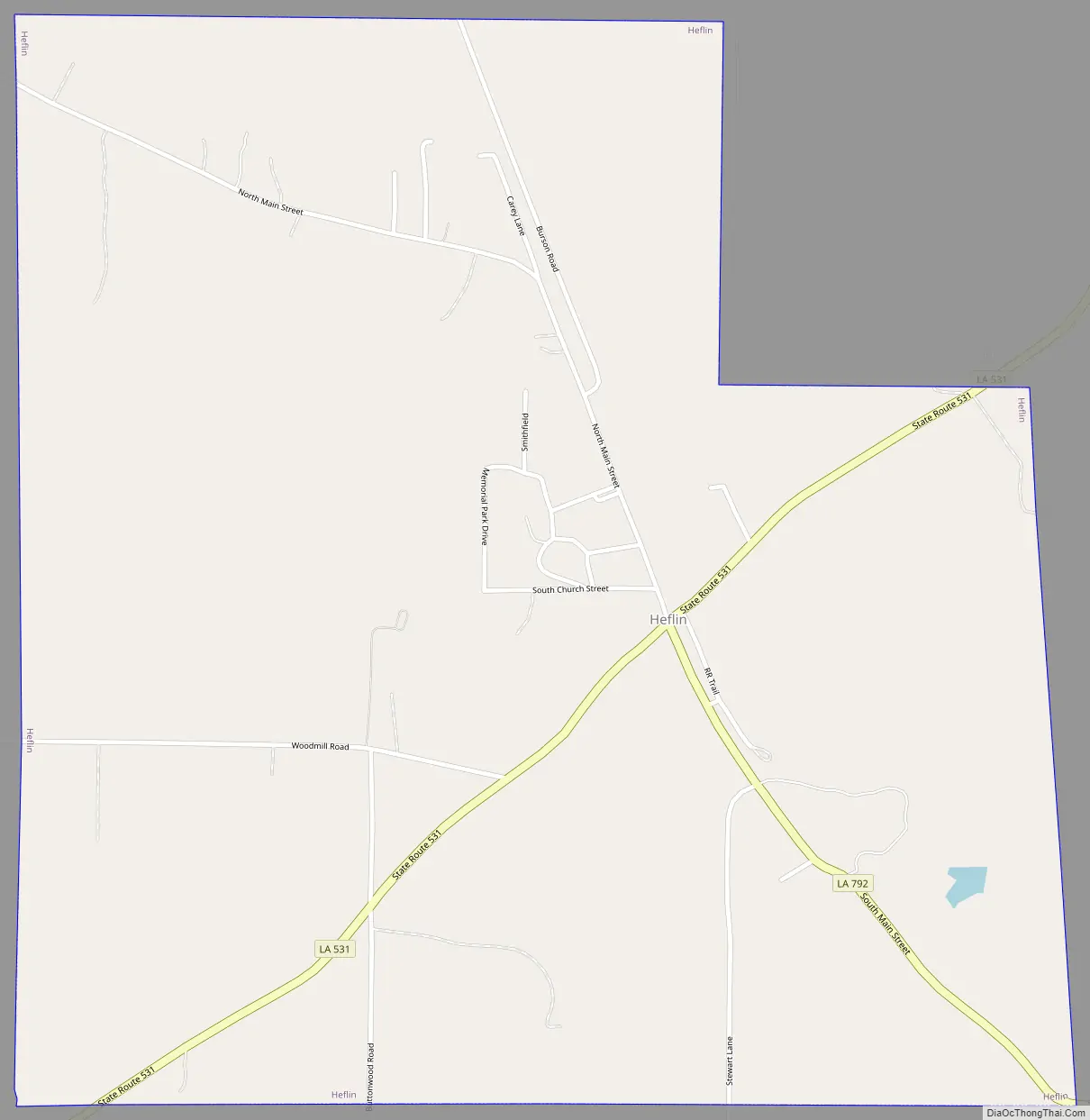
Heflin Road Map
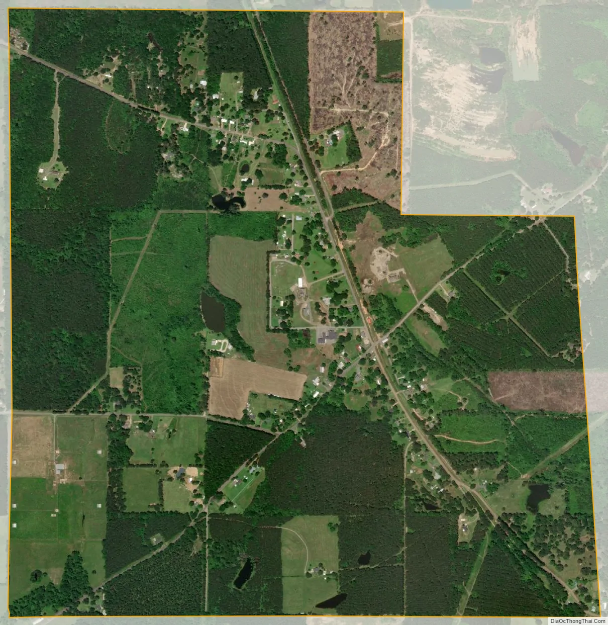
Heflin city Satellite Map
Geography
Heflin is located at 32°27′29″N 93°16′3″W / 32.45806°N 93.26750°W / 32.45806; -93.26750 (32.458021, -93.267589).
According to the United States Census Bureau, the village has a total area of 2.0 square miles (5.2 km), of which 2.0 square miles (5.2 km) is land and 0.50% is water.
See also
Map of Louisiana State and its subdivision:- Acadia
- Allen
- Ascension
- Assumption
- Avoyelles
- Beauregard
- Bienville
- Bossier
- Caddo
- Calcasieu
- Caldwell
- Cameron
- Catahoula
- Claiborne
- Concordia
- De Soto
- East Baton Rouge
- East Carroll
- East Feliciana
- Evangeline
- Franklin
- Grant
- Iberia
- Iberville
- Jackson
- Jefferson
- Jefferson Davis
- La Salle
- Lafayette
- Lafourche
- Lincoln
- Livingston
- Madison
- Morehouse
- Natchitoches
- Orleans
- Ouachita
- Plaquemines
- Pointe Coupee
- Rapides
- Red River
- Richland
- Sabine
- Saint Bernard
- Saint Charles
- Saint Helena
- Saint James
- Saint John the Baptist
- Saint Landry
- Saint Martin
- Saint Mary
- Saint Tammany
- Tangipahoa
- Tensas
- Terrebonne
- Union
- Vermilion
- Vernon
- Washington
- Webster
- West Baton Rouge
- West Carroll
- West Feliciana
- Winn
- Alabama
- Alaska
- Arizona
- Arkansas
- California
- Colorado
- Connecticut
- Delaware
- District of Columbia
- Florida
- Georgia
- Hawaii
- Idaho
- Illinois
- Indiana
- Iowa
- Kansas
- Kentucky
- Louisiana
- Maine
- Maryland
- Massachusetts
- Michigan
- Minnesota
- Mississippi
- Missouri
- Montana
- Nebraska
- Nevada
- New Hampshire
- New Jersey
- New Mexico
- New York
- North Carolina
- North Dakota
- Ohio
- Oklahoma
- Oregon
- Pennsylvania
- Rhode Island
- South Carolina
- South Dakota
- Tennessee
- Texas
- Utah
- Vermont
- Virginia
- Washington
- West Virginia
- Wisconsin
- Wyoming