Keachi (pronounced “key-chai”; also spelled Keatchie or Keachie) is a town in DeSoto Parish, Louisiana, United States. The population was 295 at the 2010 census. It is part of the Shreveport–Bossier City Metropolitan Statistical Area.
| Name: | Keachi town |
|---|---|
| LSAD Code: | 43 |
| LSAD Description: | town (suffix) |
| State: | Louisiana |
| County: | De Soto Parish |
| Elevation: | 335 ft (102 m) |
| Total Area: | 5.07 sq mi (13.14 km²) |
| Land Area: | 5.03 sq mi (13.03 km²) |
| Water Area: | 0.04 sq mi (0.11 km²) |
| Total Population: | 243 |
| Population Density: | 48.29/sq mi (18.65/km²) |
| ZIP code: | 71046 |
| Area code: | 318 |
| FIPS code: | 2239085 |
Online Interactive Map
Click on ![]() to view map in "full screen" mode.
to view map in "full screen" mode.
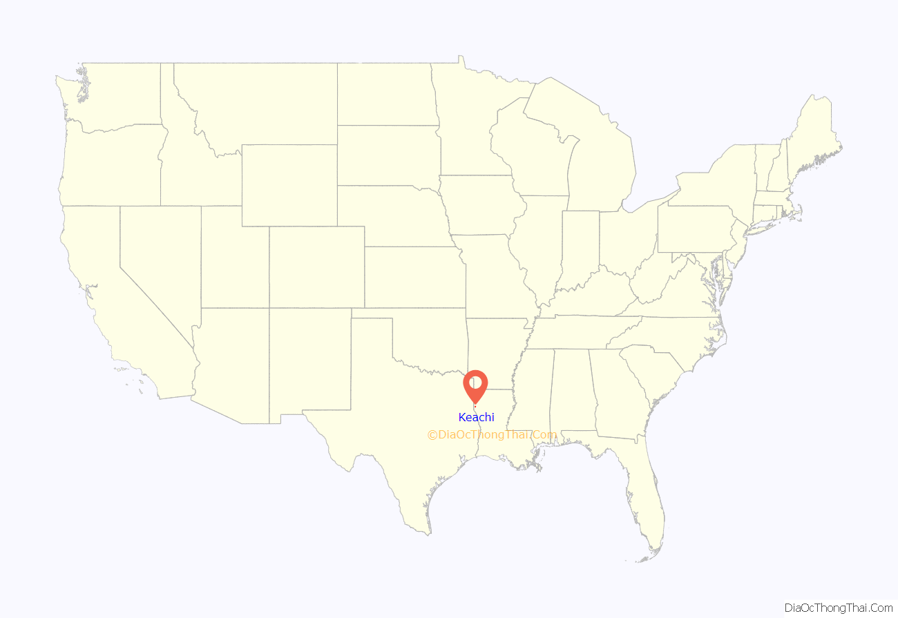
Keachi location map. Where is Keachi town?
History
Keachi features several sites on the National Register of Historic Places, including Allen House, Keachi Baptist Church, Keachi Presbyterian Church, Keachi Store, Keachi United Methodist Church, Liberty Lodge, The Oaks, Prude House, Spell House, and the Swearingen House. It also includes Keachie College.
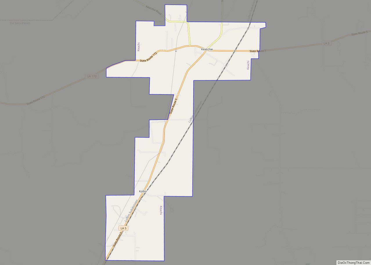
Keachi Road Map
Keachi city Satellite Map
Geography
Keachi is located in northwestern DeSoto Parish at 32°10′55″N 93°54′24″W / 32.18194°N 93.90667°W / 32.18194; -93.90667 (32.182055, -93.906658). Louisiana Highway 5 passes through the town, leading east 4 miles (6 km) to Kickapoo and south 7 miles (11 km) to Longstreet. Highway 172 leads west 8 miles (13 km) to the Texas border, and Highway 789 leads north 10 miles (16 km) to Spring Ridge. Shreveport is 32 miles (51 km) to the northeast.
According to the United States Census Bureau, Keachi has a total area of 5.1 square miles (13.1 km), of which 0.04 square miles (0.1 km), or 0.81%, is water.
See also
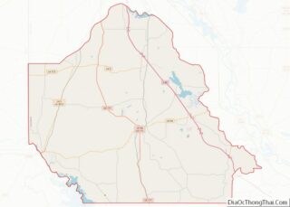
Map of Louisiana State and its subdivision:- Acadia
- Allen
- Ascension
- Assumption
- Avoyelles
- Beauregard
- Bienville
- Bossier
- Caddo
- Calcasieu
- Caldwell
- Cameron
- Catahoula
- Claiborne
- Concordia
- De Soto
- East Baton Rouge
- East Carroll
- East Feliciana
- Evangeline
- Franklin
- Grant
- Iberia
- Iberville
- Jackson
- Jefferson
- Jefferson Davis
- La Salle
- Lafayette
- Lafourche
- Lincoln
- Livingston
- Madison
- Morehouse
- Natchitoches
- Orleans
- Ouachita
- Plaquemines
- Pointe Coupee
- Rapides
- Red River
- Richland
- Sabine
- Saint Bernard
- Saint Charles
- Saint Helena
- Saint James
- Saint John the Baptist
- Saint Landry
- Saint Martin
- Saint Mary
- Saint Tammany
- Tangipahoa
- Tensas
- Terrebonne
- Union
- Vermilion
- Vernon
- Washington
- Webster
- West Baton Rouge
- West Carroll
- West Feliciana
- Winn
- Alabama
- Alaska
- Arizona
- Arkansas
- California
- Colorado
- Connecticut
- Delaware
- District of Columbia
- Florida
- Georgia
- Hawaii
- Idaho
- Illinois
- Indiana
- Iowa
- Kansas
- Kentucky
- Louisiana
- Maine
- Maryland
- Massachusetts
- Michigan
- Minnesota
- Mississippi
- Missouri
- Montana
- Nebraska
- Nevada
- New Hampshire
- New Jersey
- New Mexico
- New York
- North Carolina
- North Dakota
- Ohio
- Oklahoma
- Oregon
- Pennsylvania
- Rhode Island
- South Carolina
- South Dakota
- Tennessee
- Texas
- Utah
- Vermont
- Virginia
- Washington
- West Virginia
- Wisconsin
- Wyoming
