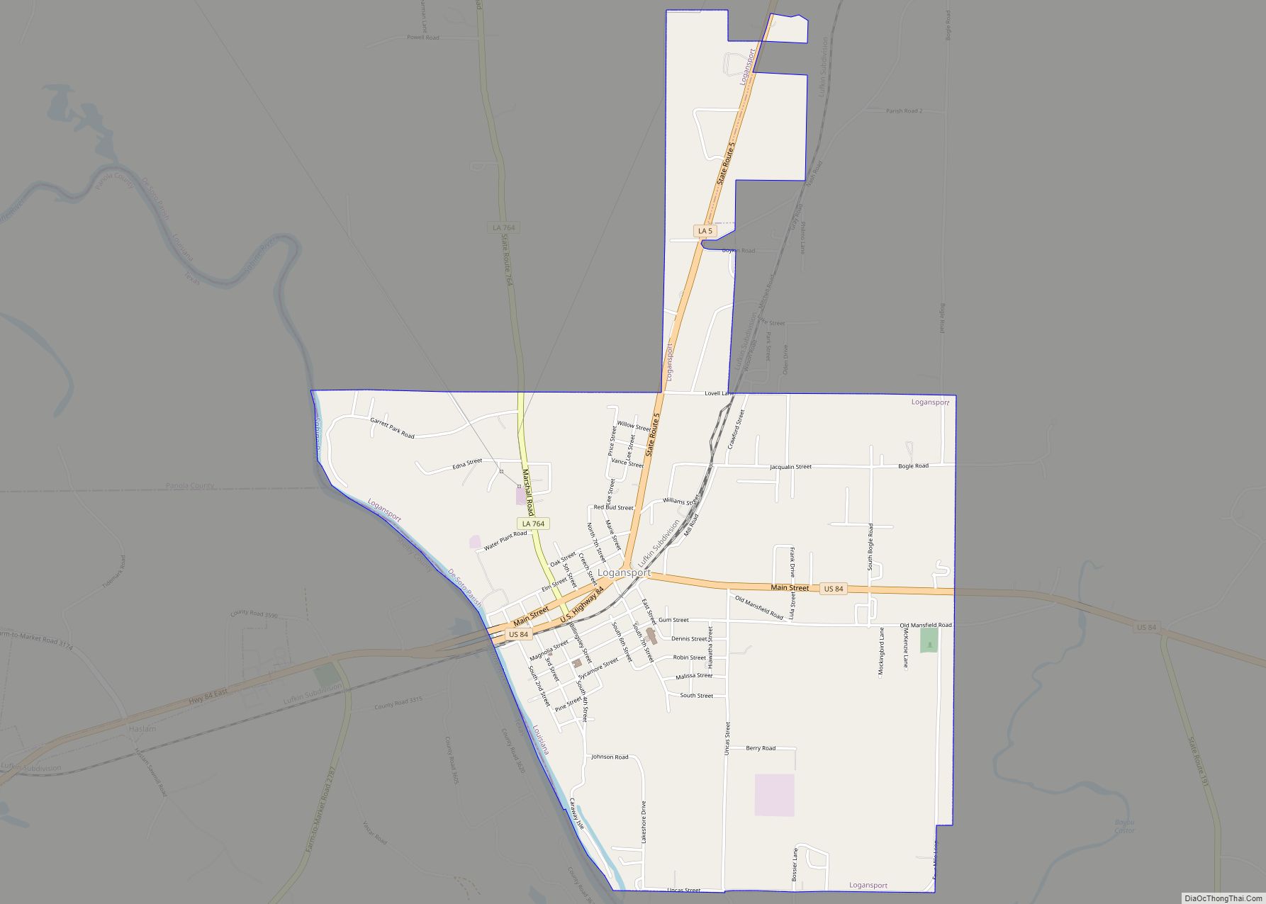
Logansport is a town in western DeSoto Parish adjacent to the Sabine River in western Louisiana, United States. The population was 1,340 in 2020. It is part of the Shreveport–Bossier City metropolitan statistical area.
| Name: | Logansport town |
|---|---|
| LSAD Code: | 43 |
| LSAD Description: | town (suffix) |
| State: | Louisiana |
| County: | De Soto Parish |
| Elevation: | 213 ft (65 m) |
| Total Area: | 3.50 sq mi (9.05 km²) |
| Land Area: | 3.40 sq mi (8.80 km²) |
| Water Area: | 0.10 sq mi (0.26 km²) |
| Total Population: | 1,340 |
| Population Density: | 394.58/sq mi (152.34/km²) |
| Area code: | 318 |
| FIPS code: | 2245040 |
| Website: | www.townoflogansport.com |
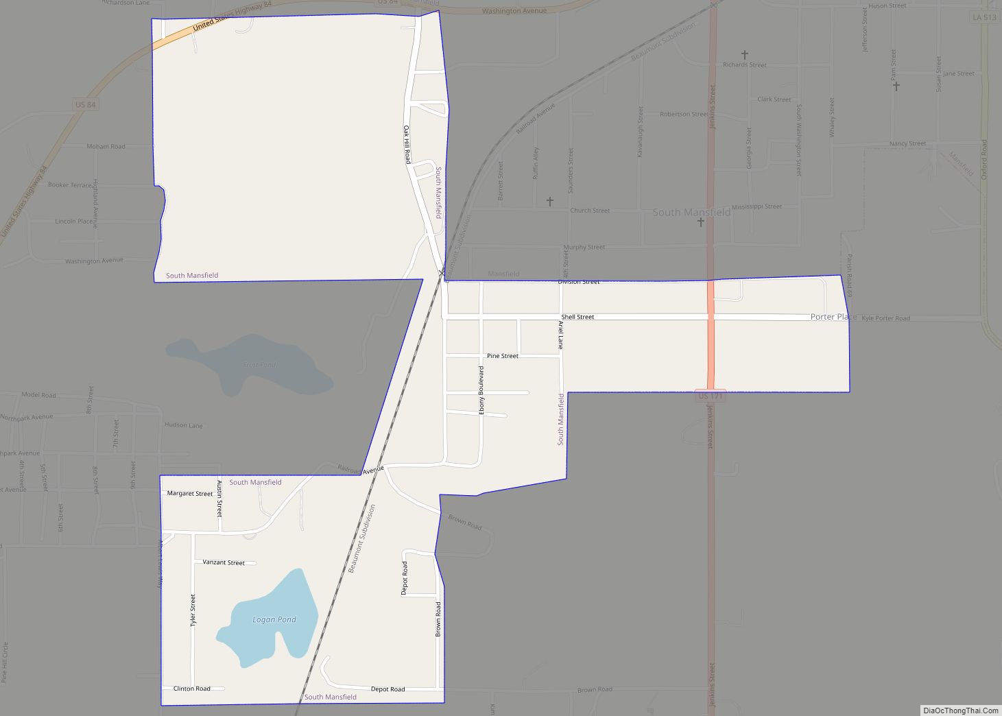
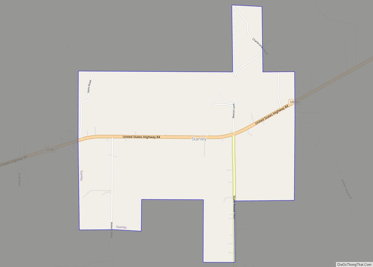
Online Interactive Map
Click on ![]() to view map in "full screen" mode.
to view map in "full screen" mode.
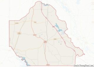
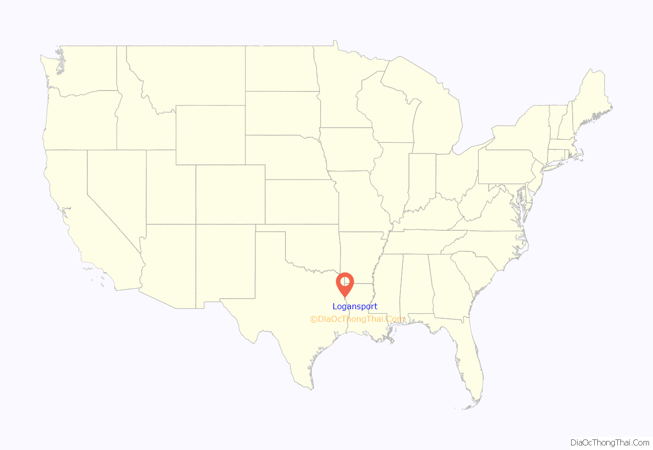
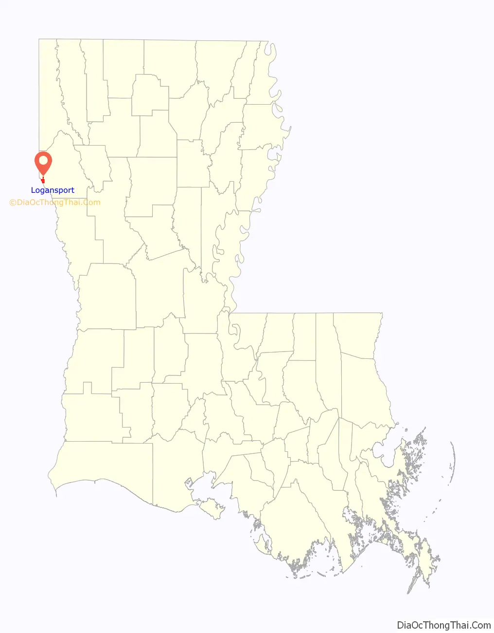
Logansport location map. Where is Logansport town?
History
The area, long a disputed boundary even after the Louisiana Purchase, was part of a neutral territory negotiated by Gen. James Wilkinson and Lt. Col. Simón de Herrera on 6 November 1806.
The Adams–Onís Treaty of 1819, that was not ratified until 1821, would have been a solution but in 1821 Mexico’s independence reignited the dispute. Dr. Logan moved to the area in 1830 began practicing medicine in Louisiana and Texas. He chartered a ferry business in the area and it became known as Logan’s Ferry.
Texas won independence in 1836, and the newly formed Republic of Texas agreed to the Adams–Onís Treaty, so the Sabine River became the international boundary. The survey crew began the demarcation process on 20 May 1840, at the Gulf of Mexico, and work was completed in 1841. Boundary markers were placed along the boundary, that included one in Logansport. This marker apparently is the only one surviving, meaning it is the only known international boundary marker in the United States. The Texas Annexation of 1845, ended nine years of the Sabine River international boundary.
The name Logansport was given to the town when a post office was established 28 February 1848. There were few people living in the town prior to the arrival of the railroad. With the arrival of the railroad, there was an influx of gamblers and others of questionable character, along with the citizens of better repute. At one time Logansport had more saloons than grocery stores. The town began to grow and it was incorporated. The first election was held on 25 June 1887. In this election there were only 15 qualified voters listed. Elijah Price was elected mayor, along with five other trustees. Oil and gas were also a very important source of income for the early citizens of Logansport.
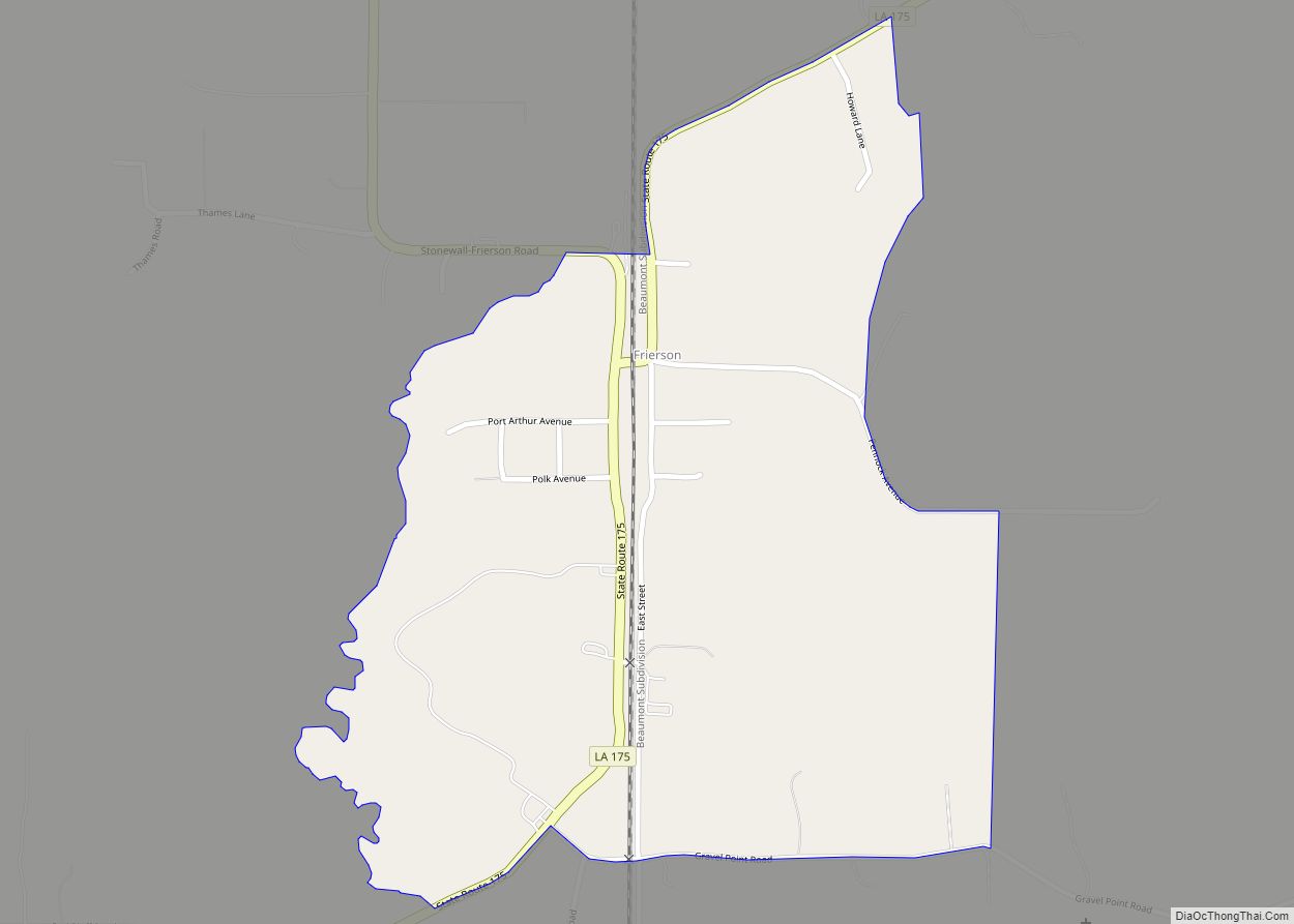
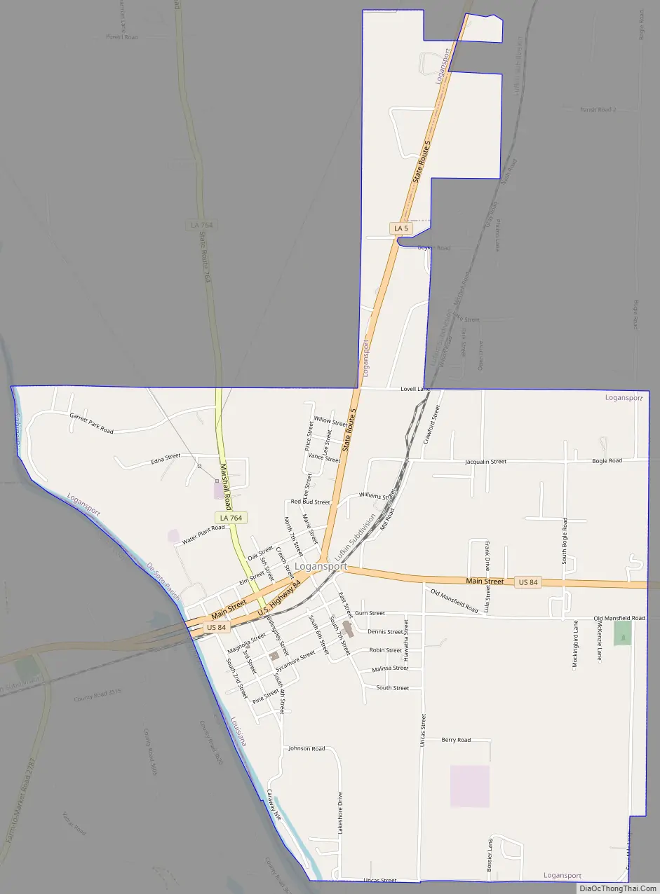
Logansport Road Map
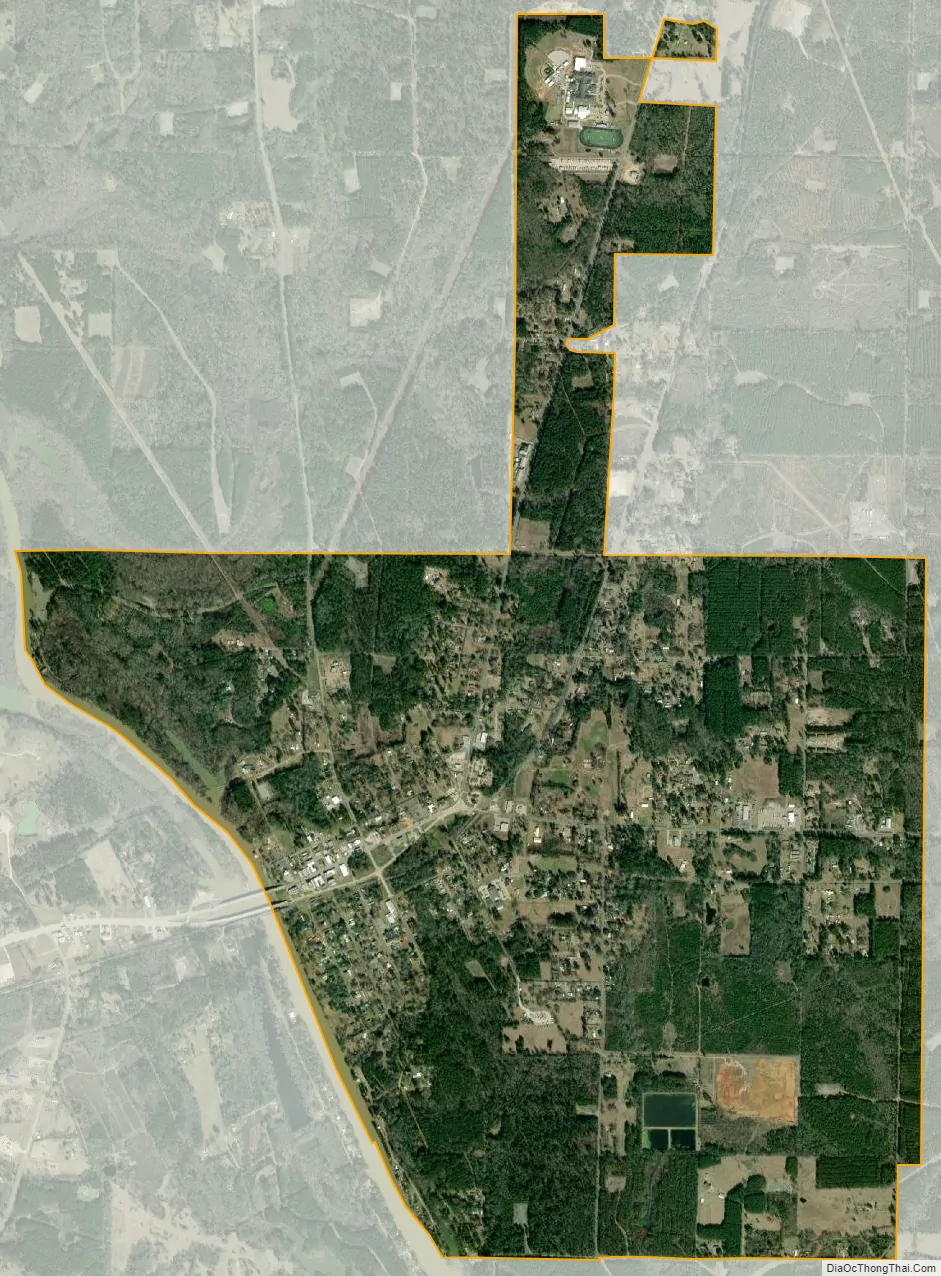
Logansport city Satellite Map
Geography
Logansport is located at 31°58′29″N 93°59′51″W / 31.97472°N 93.99750°W / 31.97472; -93.99750 (31.974785, −93.997471). According to the United States Census Bureau, the town has a total area of 3.4 square miles (8.8 km), of which 3.2 square miles (8.3 km) is land and 0.2 square miles (0.52 km) (4.45%) is water.
The Logansport riverfront is an entrance off U.S. Highway 84 into Louisiana from Texas. It has a terraced landscape, veterans memorial, walking paths, gazebo, picnic tables, and a pavilion.
See also
Map of Louisiana State and its subdivision:- Acadia
- Allen
- Ascension
- Assumption
- Avoyelles
- Beauregard
- Bienville
- Bossier
- Caddo
- Calcasieu
- Caldwell
- Cameron
- Catahoula
- Claiborne
- Concordia
- De Soto
- East Baton Rouge
- East Carroll
- East Feliciana
- Evangeline
- Franklin
- Grant
- Iberia
- Iberville
- Jackson
- Jefferson
- Jefferson Davis
- La Salle
- Lafayette
- Lafourche
- Lincoln
- Livingston
- Madison
- Morehouse
- Natchitoches
- Orleans
- Ouachita
- Plaquemines
- Pointe Coupee
- Rapides
- Red River
- Richland
- Sabine
- Saint Bernard
- Saint Charles
- Saint Helena
- Saint James
- Saint John the Baptist
- Saint Landry
- Saint Martin
- Saint Mary
- Saint Tammany
- Tangipahoa
- Tensas
- Terrebonne
- Union
- Vermilion
- Vernon
- Washington
- Webster
- West Baton Rouge
- West Carroll
- West Feliciana
- Winn
- Alabama
- Alaska
- Arizona
- Arkansas
- California
- Colorado
- Connecticut
- Delaware
- District of Columbia
- Florida
- Georgia
- Hawaii
- Idaho
- Illinois
- Indiana
- Iowa
- Kansas
- Kentucky
- Louisiana
- Maine
- Maryland
- Massachusetts
- Michigan
- Minnesota
- Mississippi
- Missouri
- Montana
- Nebraska
- Nevada
- New Hampshire
- New Jersey
- New Mexico
- New York
- North Carolina
- North Dakota
- Ohio
- Oklahoma
- Oregon
- Pennsylvania
- Rhode Island
- South Carolina
- South Dakota
- Tennessee
- Texas
- Utah
- Vermont
- Virginia
- Washington
- West Virginia
- Wisconsin
- Wyoming