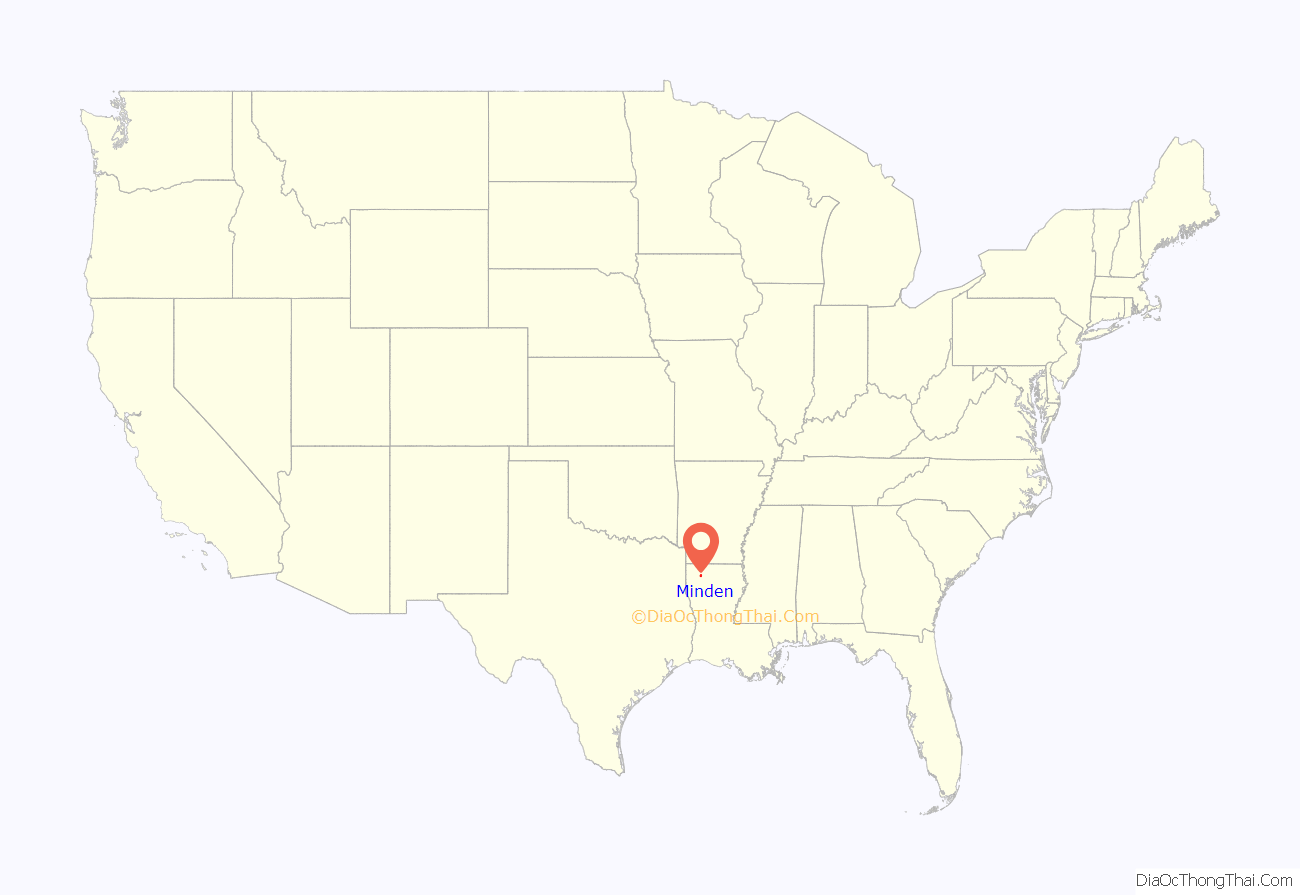
Minden is a city and parish seat in Webster Parish, Louisiana, United States. It is located twenty-eight miles east of Shreveport. As of the 2010 census, the city had a total population of 13,082.
| Name: | Minden city |
|---|---|
| LSAD Code: | 25 |
| LSAD Description: | city (suffix) |
| State: | Louisiana |
| County: | Webster Parish |
| Founded: | 1836 |
| Total Area: | 15.21 sq mi (39.39 km²) |
| Land Area: | 15.04 sq mi (38.95 km²) |
| Water Area: | 0.17 sq mi (0.44 km²) |
| Total Population: | 11,928 |
| Population Density: | 793.24/sq mi (306.27/km²) |
| ZIP code: | 71055 |
| Area code: | 318 |
| FIPS code: | 2250885 |
Online Interactive Map
Click on ![]() to view map in "full screen" mode.
to view map in "full screen" mode.
Minden location map. Where is Minden city?
History
Minden was established in 1836 by Charles Veeder. Native sons include Gene Austin and Louis Dunbar.
The town’s name is derived from the German city of Minden.
During the Civil War, a large Confederate encampment was located inside of Minden. It housed about 15,000 Confederate soldiers. The town served as a supply depot for the Confederate Army. Close to thirty Confederate soldiers who died in the Battles of Mansfield and Pleasant Hill are buried in the Old Minden Cemetery.
In the Great Blizzard of 1899, Minden experienced the coldest temperature ever recorded in Louisiana, when the temperature fell on February 13, 1899 to −16 °F or −26.7 °C.
During the Great Depression, one of the two Minden banks failed and a fire destroyed a major section of the downtown area (1931).
On May 1, 1933, a tornado occurred in the town, destroying 20% of the homes.
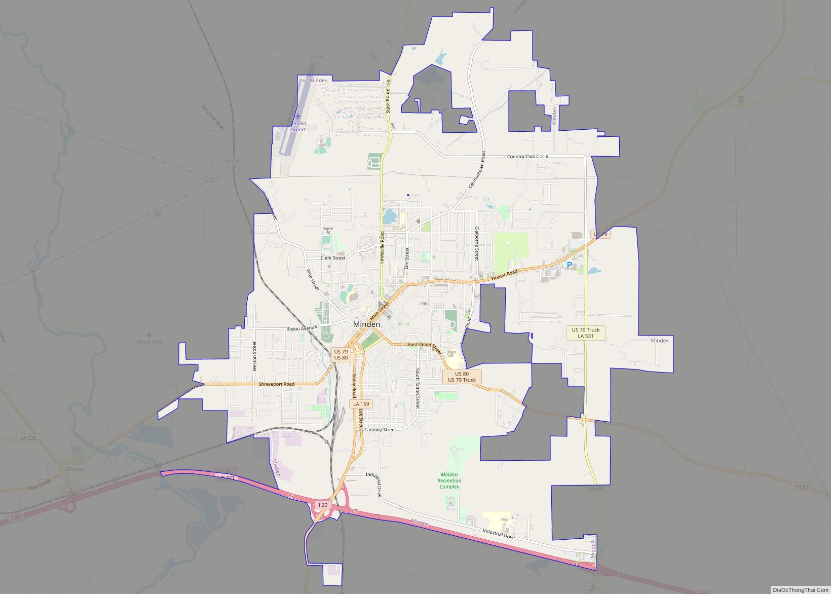
Minden Road Map
Minden city Satellite Map
Geography
According to the United States Census Bureau, the city has a total area of 31.0 km² (12.0 mi²). 30.8 km (11.9 mi²) of it is land and 0.2 km (0.1 mi²) of it is water. The total area is 0.75% water.
Climate
See also
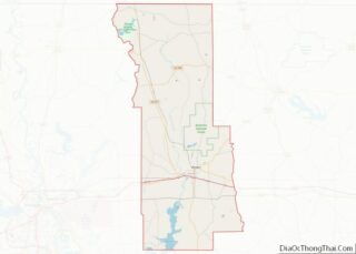
Map of Louisiana State and its subdivision:- Acadia
- Allen
- Ascension
- Assumption
- Avoyelles
- Beauregard
- Bienville
- Bossier
- Caddo
- Calcasieu
- Caldwell
- Cameron
- Catahoula
- Claiborne
- Concordia
- De Soto
- East Baton Rouge
- East Carroll
- East Feliciana
- Evangeline
- Franklin
- Grant
- Iberia
- Iberville
- Jackson
- Jefferson
- Jefferson Davis
- La Salle
- Lafayette
- Lafourche
- Lincoln
- Livingston
- Madison
- Morehouse
- Natchitoches
- Orleans
- Ouachita
- Plaquemines
- Pointe Coupee
- Rapides
- Red River
- Richland
- Sabine
- Saint Bernard
- Saint Charles
- Saint Helena
- Saint James
- Saint John the Baptist
- Saint Landry
- Saint Martin
- Saint Mary
- Saint Tammany
- Tangipahoa
- Tensas
- Terrebonne
- Union
- Vermilion
- Vernon
- Washington
- Webster
- West Baton Rouge
- West Carroll
- West Feliciana
- Winn
- Alabama
- Alaska
- Arizona
- Arkansas
- California
- Colorado
- Connecticut
- Delaware
- District of Columbia
- Florida
- Georgia
- Hawaii
- Idaho
- Illinois
- Indiana
- Iowa
- Kansas
- Kentucky
- Louisiana
- Maine
- Maryland
- Massachusetts
- Michigan
- Minnesota
- Mississippi
- Missouri
- Montana
- Nebraska
- Nevada
- New Hampshire
- New Jersey
- New Mexico
- New York
- North Carolina
- North Dakota
- Ohio
- Oklahoma
- Oregon
- Pennsylvania
- Rhode Island
- South Carolina
- South Dakota
- Tennessee
- Texas
- Utah
- Vermont
- Virginia
- Washington
- West Virginia
- Wisconsin
- Wyoming
