Mooringsport is an incorporated municipality in the U.S. state of Louisiana, located in Caddo Parish. Part of the Shreveport–Bossier City metropolitan area and located approximately 18 miles (29 km) outside of the principal city of Shreveport, the town of Mooringsport had a population of 748 at the 2020 U.S. census.
| Name: | Mooringsport town |
|---|---|
| LSAD Code: | 43 |
| LSAD Description: | town (suffix) |
| State: | Louisiana |
| County: | Caddo Parish |
| Elevation: | 226 ft (69 m) |
| Total Area: | 1.30 sq mi (3.36 km²) |
| Land Area: | 1.29 sq mi (3.34 km²) |
| Water Area: | 0.01 sq mi (0.02 km²) |
| Total Population: | 748 |
| Population Density: | 580.75/sq mi (224.16/km²) |
| Area code: | 318 |
| FIPS code: | 2251830 |
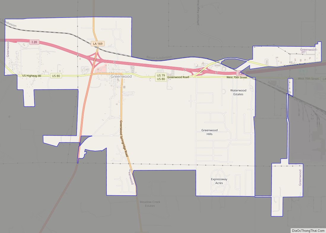
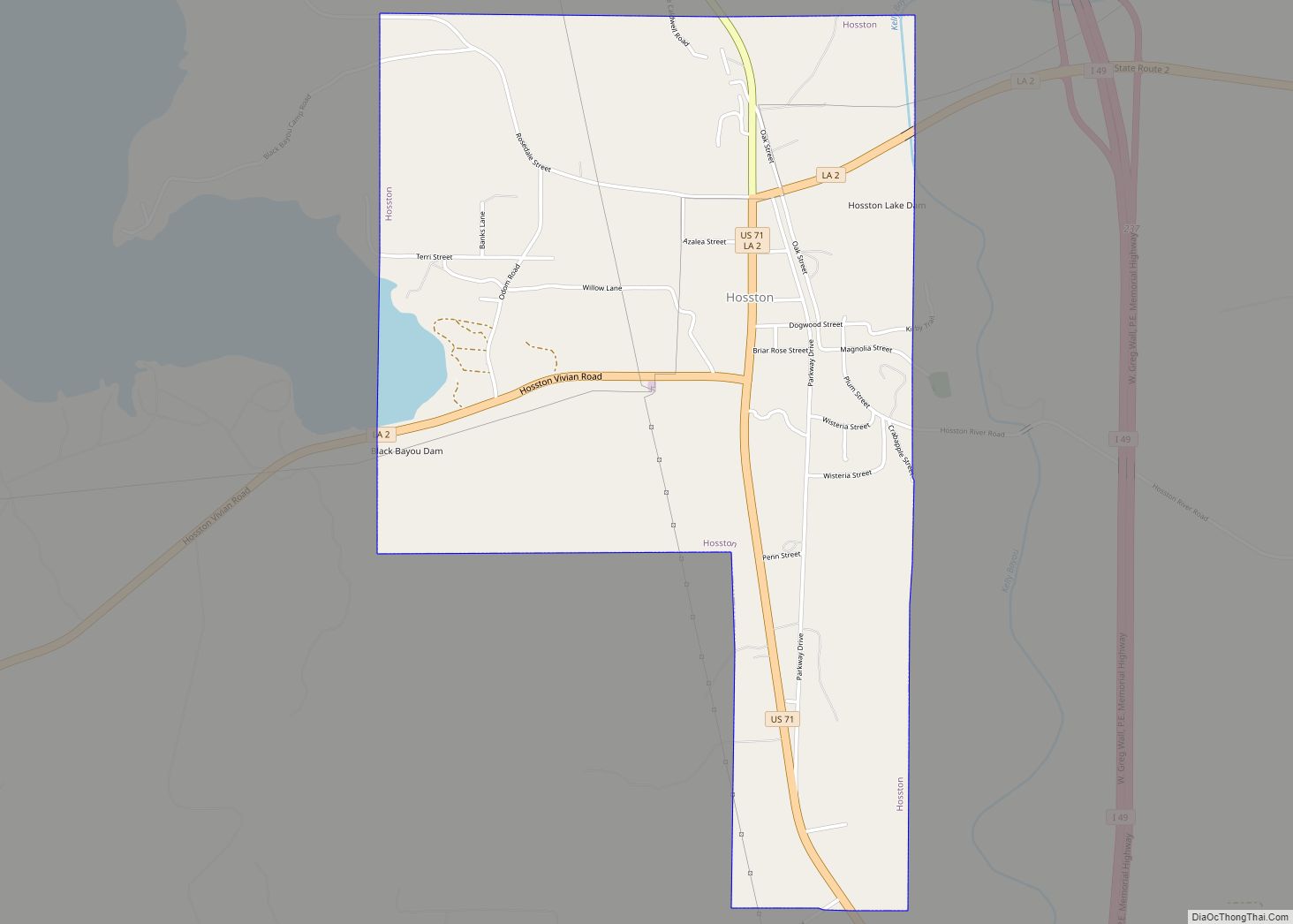
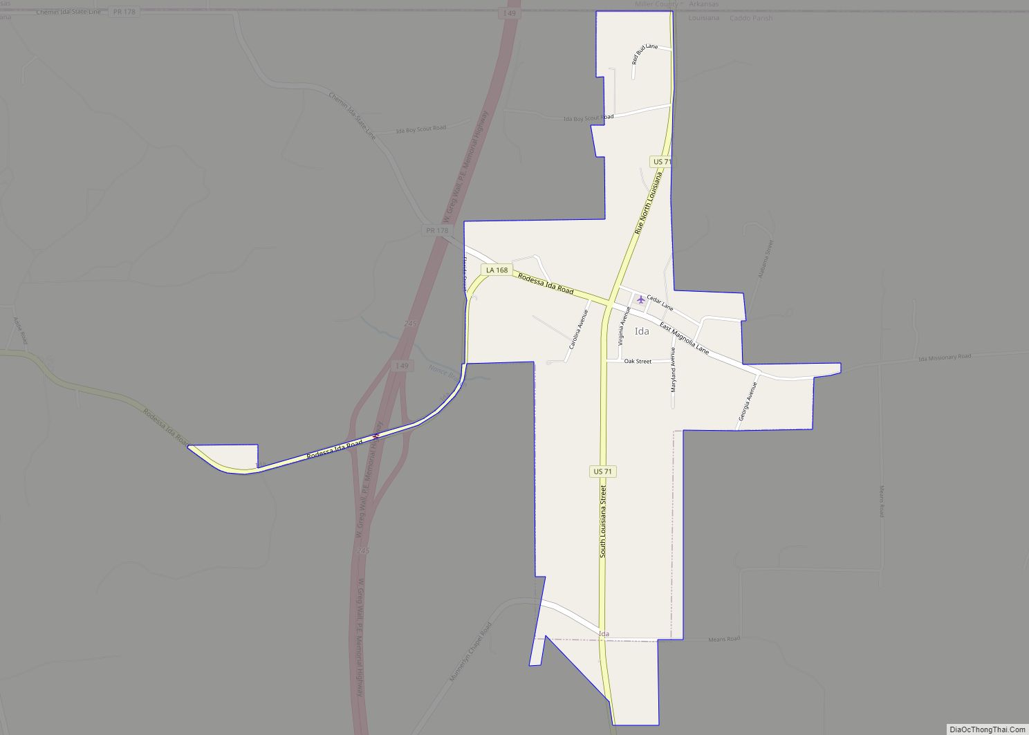
Online Interactive Map
Click on ![]() to view map in "full screen" mode.
to view map in "full screen" mode.
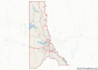
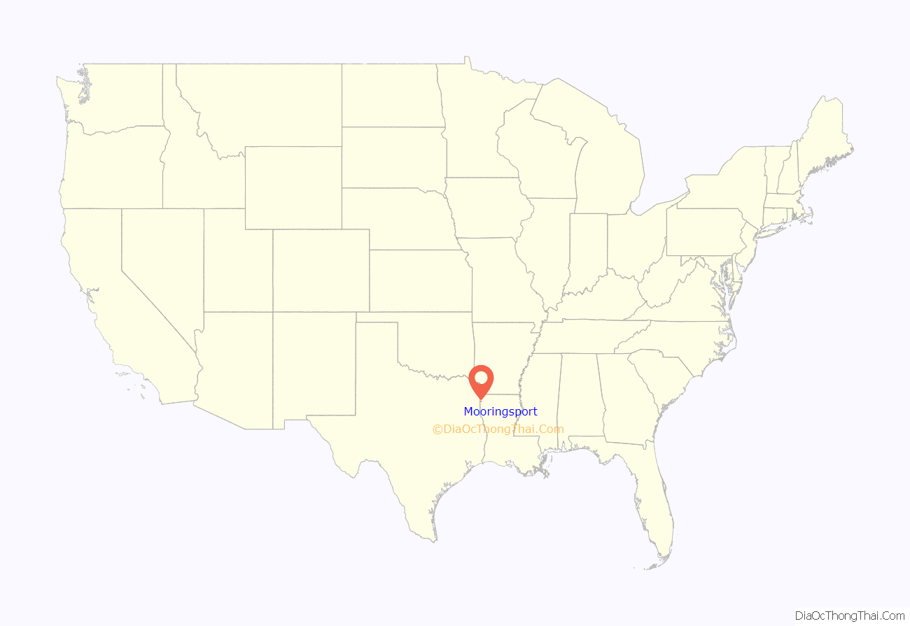
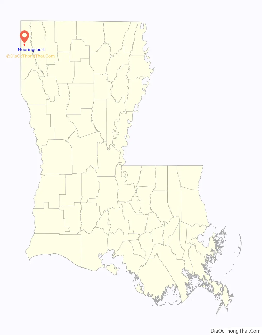
Mooringsport location map. Where is Mooringsport town?
History
Settled by Alabama and North Carolina settlers in 1836, present-day Mooringsport served as a minor economic hub for steamboats transporting cotton. From its continued growth into an established settlement, the Kansas City Southern Railway came through the area.
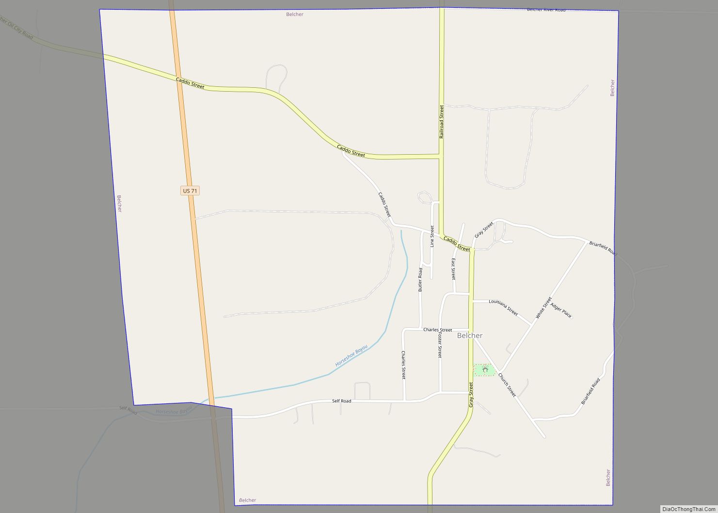
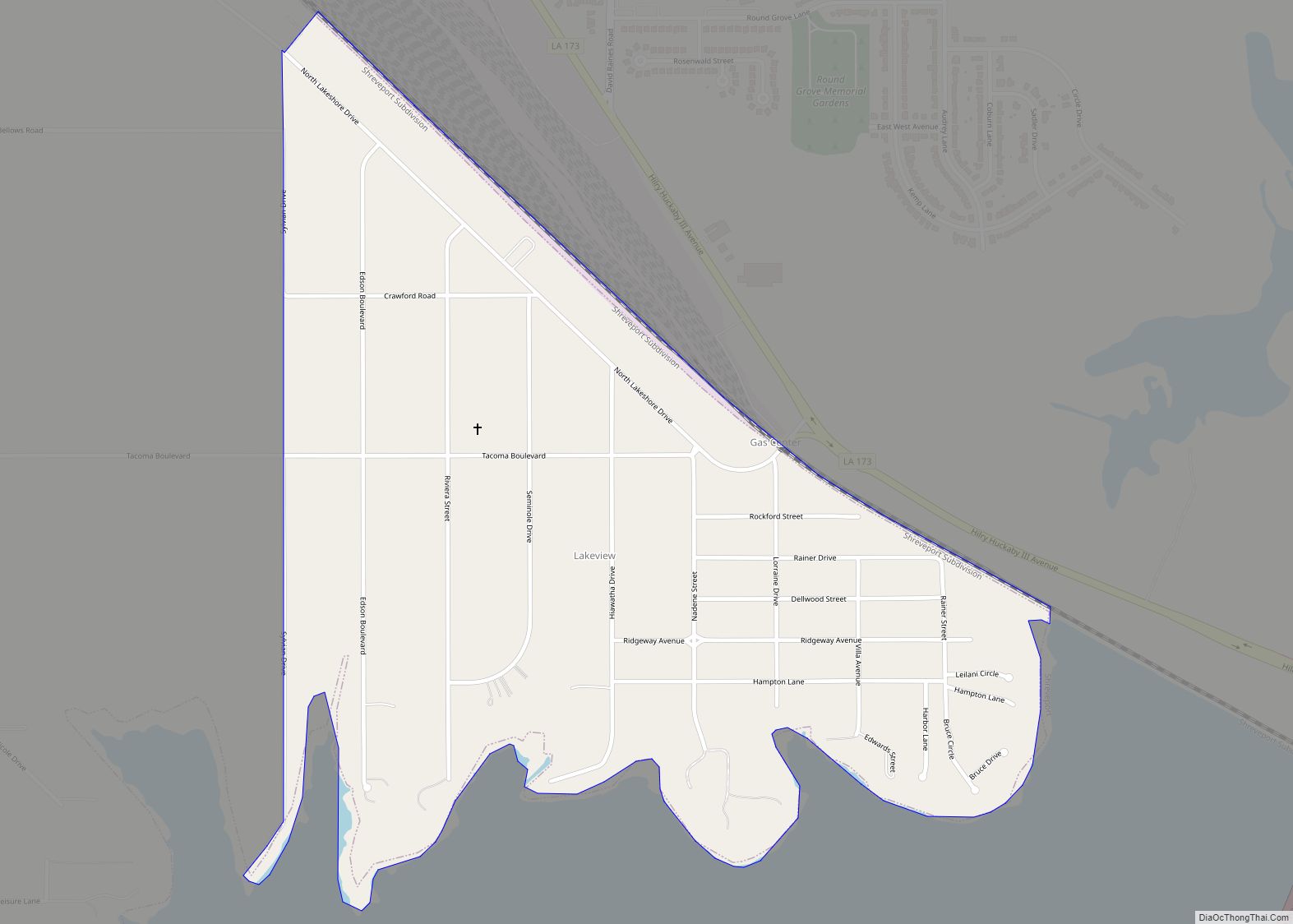
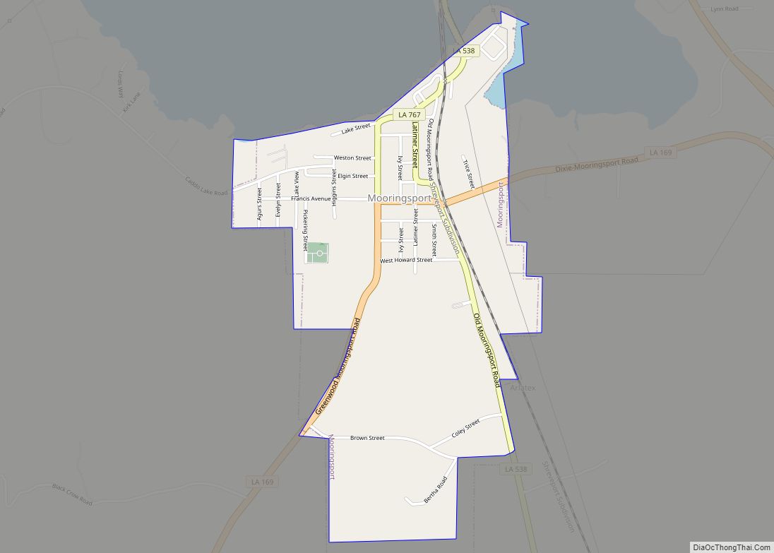
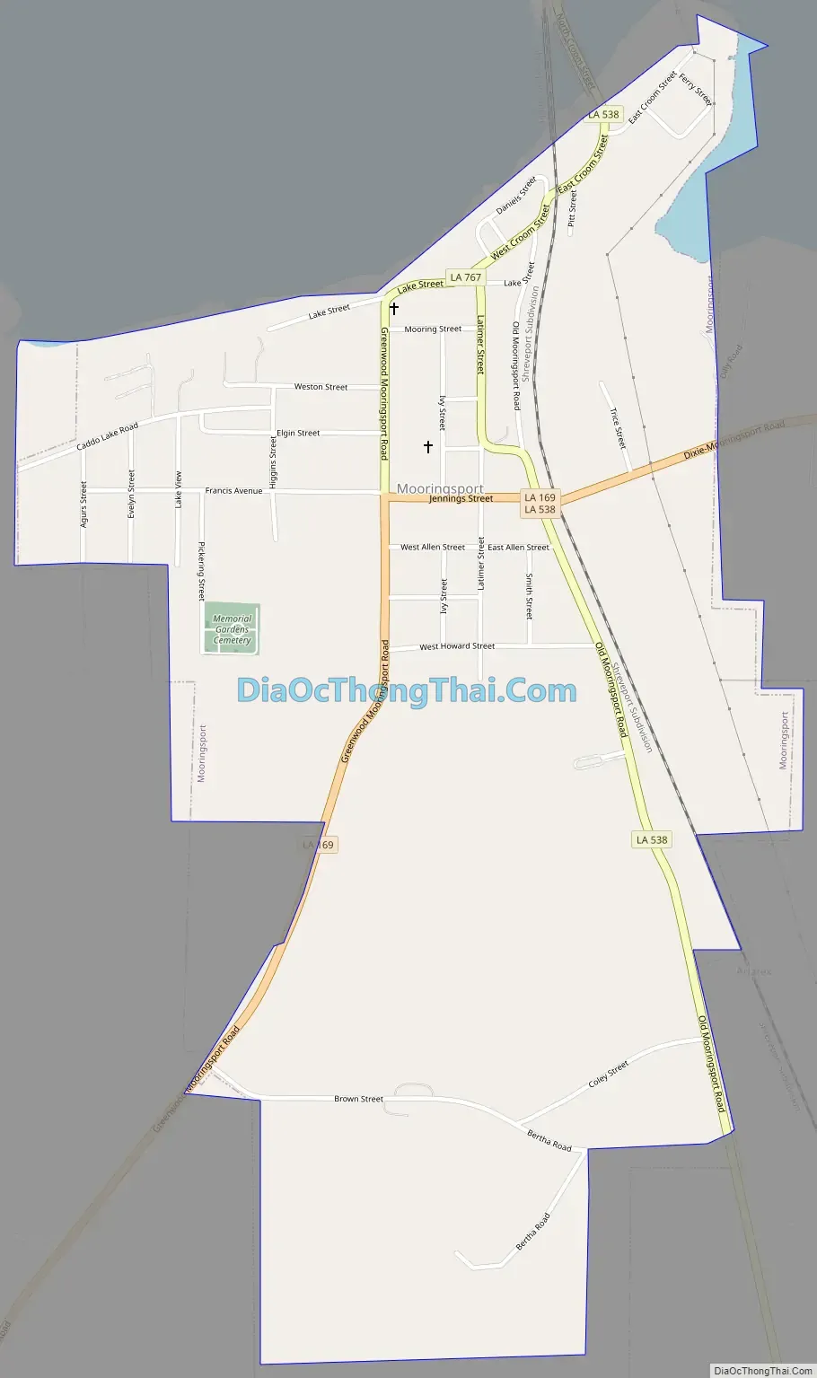
Mooringsport Road Map
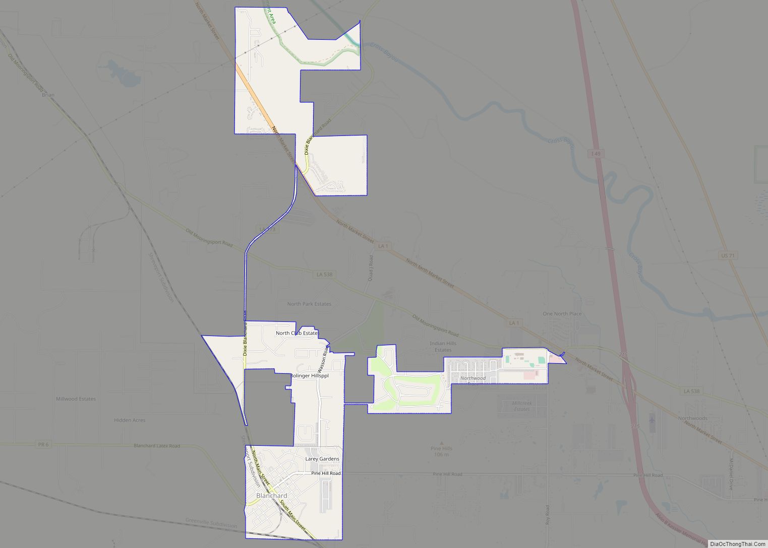
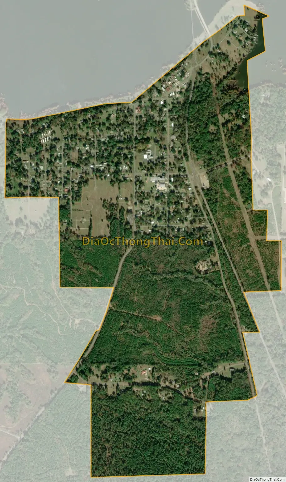
Mooringsport city Satellite Map
Geography
Mooringsport is located in western Caddo Parish at 32°41′13″N 93°57′42″W / 32.68694°N 93.96167°W / 32.68694; -93.96167 (32.687029, -93.961630), on the south shore of Caddo Lake. Louisiana Highway 1 bypasses the municipality 2 miles (3 km) to the east. Downtown Shreveport is approximately 18 miles (29 km) to the southeast. According to the United States Census Bureau in 2010, Mooringsport had a total area of 1.17 square miles (3.04 km), of which 1.16 square miles (3.01 km) was land and 0.012 square miles (0.03 km), or 1.06%, was water.
See also
Map of Louisiana State and its subdivision:- Acadia
- Allen
- Ascension
- Assumption
- Avoyelles
- Beauregard
- Bienville
- Bossier
- Caddo
- Calcasieu
- Caldwell
- Cameron
- Catahoula
- Claiborne
- Concordia
- De Soto
- East Baton Rouge
- East Carroll
- East Feliciana
- Evangeline
- Franklin
- Grant
- Iberia
- Iberville
- Jackson
- Jefferson
- Jefferson Davis
- La Salle
- Lafayette
- Lafourche
- Lincoln
- Livingston
- Madison
- Morehouse
- Natchitoches
- Orleans
- Ouachita
- Plaquemines
- Pointe Coupee
- Rapides
- Red River
- Richland
- Sabine
- Saint Bernard
- Saint Charles
- Saint Helena
- Saint James
- Saint John the Baptist
- Saint Landry
- Saint Martin
- Saint Mary
- Saint Tammany
- Tangipahoa
- Tensas
- Terrebonne
- Union
- Vermilion
- Vernon
- Washington
- Webster
- West Baton Rouge
- West Carroll
- West Feliciana
- Winn
- Alabama
- Alaska
- Arizona
- Arkansas
- California
- Colorado
- Connecticut
- Delaware
- District of Columbia
- Florida
- Georgia
- Hawaii
- Idaho
- Illinois
- Indiana
- Iowa
- Kansas
- Kentucky
- Louisiana
- Maine
- Maryland
- Massachusetts
- Michigan
- Minnesota
- Mississippi
- Missouri
- Montana
- Nebraska
- Nevada
- New Hampshire
- New Jersey
- New Mexico
- New York
- North Carolina
- North Dakota
- Ohio
- Oklahoma
- Oregon
- Pennsylvania
- Rhode Island
- South Carolina
- South Dakota
- Tennessee
- Texas
- Utah
- Vermont
- Virginia
- Washington
- West Virginia
- Wisconsin
- Wyoming