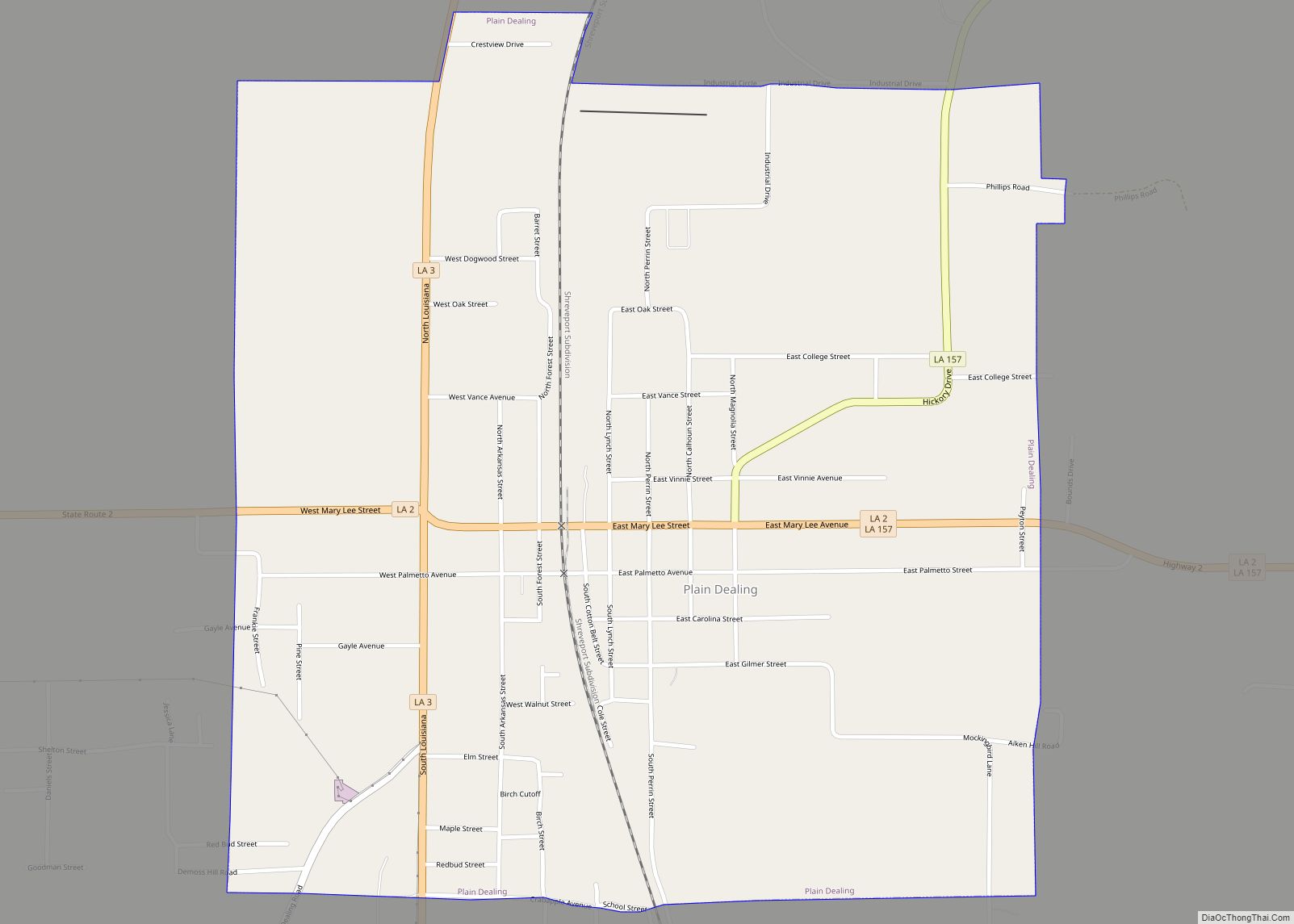
Plain Dealing is a town in Bossier Parish, Louisiana, United States. The population was 893 in 2020. It is part of the Shreveport–Bossier City metropolitan statistical area.
| Name: | Plain Dealing town |
|---|---|
| LSAD Code: | 43 |
| LSAD Description: | town (suffix) |
| State: | Louisiana |
| County: | Bossier Parish |
| Elevation: | 266 ft (81 m) |
| Total Area: | 1.58 sq mi (4.10 km²) |
| Land Area: | 1.58 sq mi (4.09 km²) |
| Water Area: | 0.00 sq mi (0.01 km²) |
| Total Population: | 893 |
| Population Density: | 565.55/sq mi (218.41/km²) |
| Area code: | 318 |
| FIPS code: | 2260670 |
| Website: | https://thetownofplaindealing.com/ |
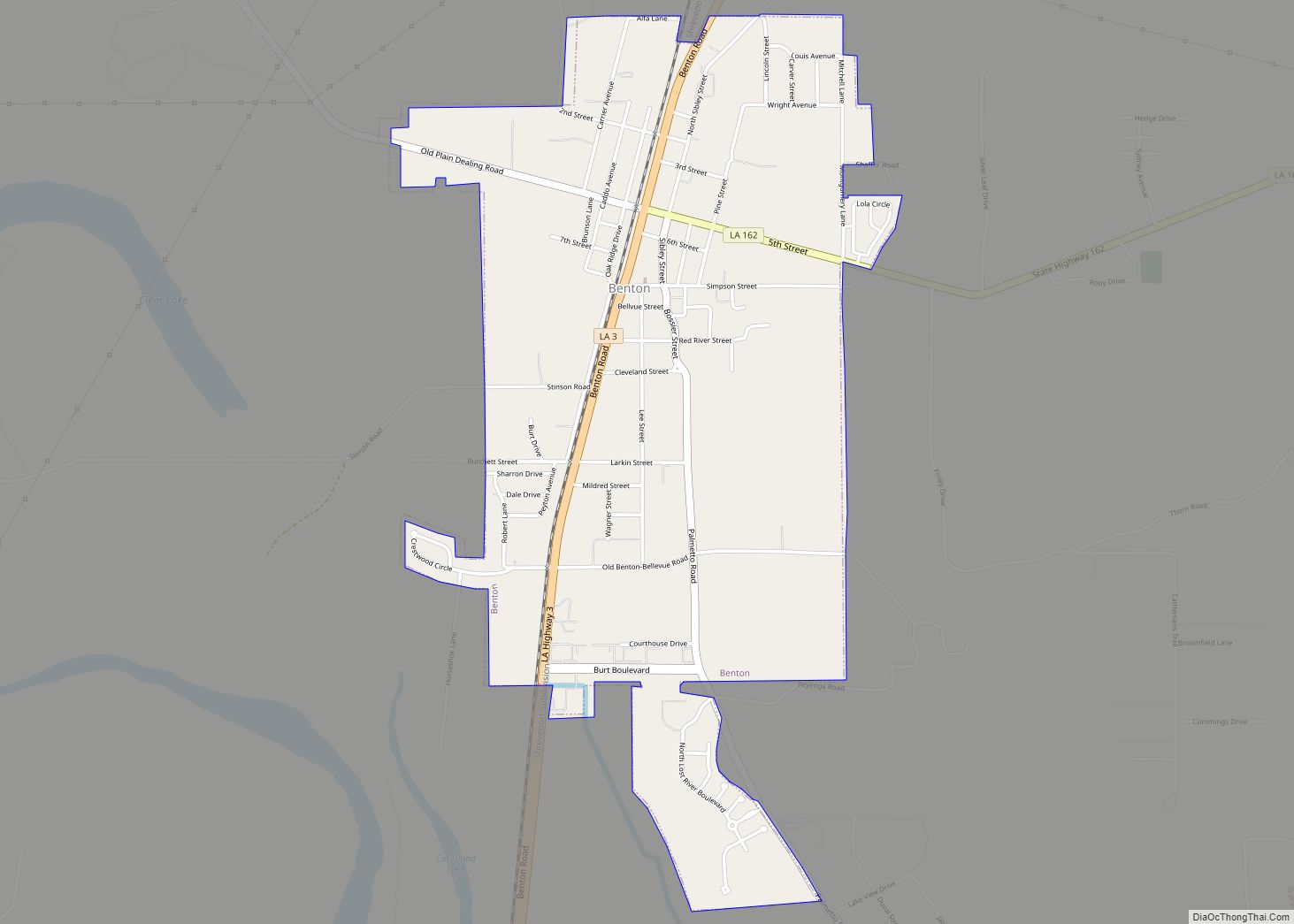
Online Interactive Map
Click on ![]() to view map in "full screen" mode.
to view map in "full screen" mode.
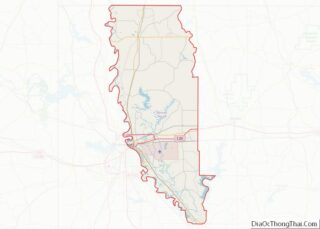
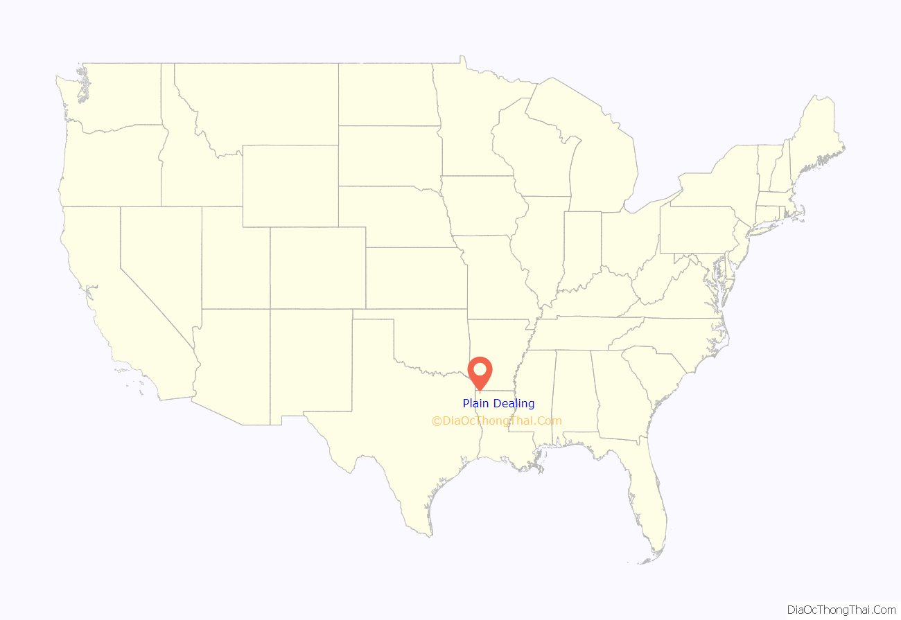
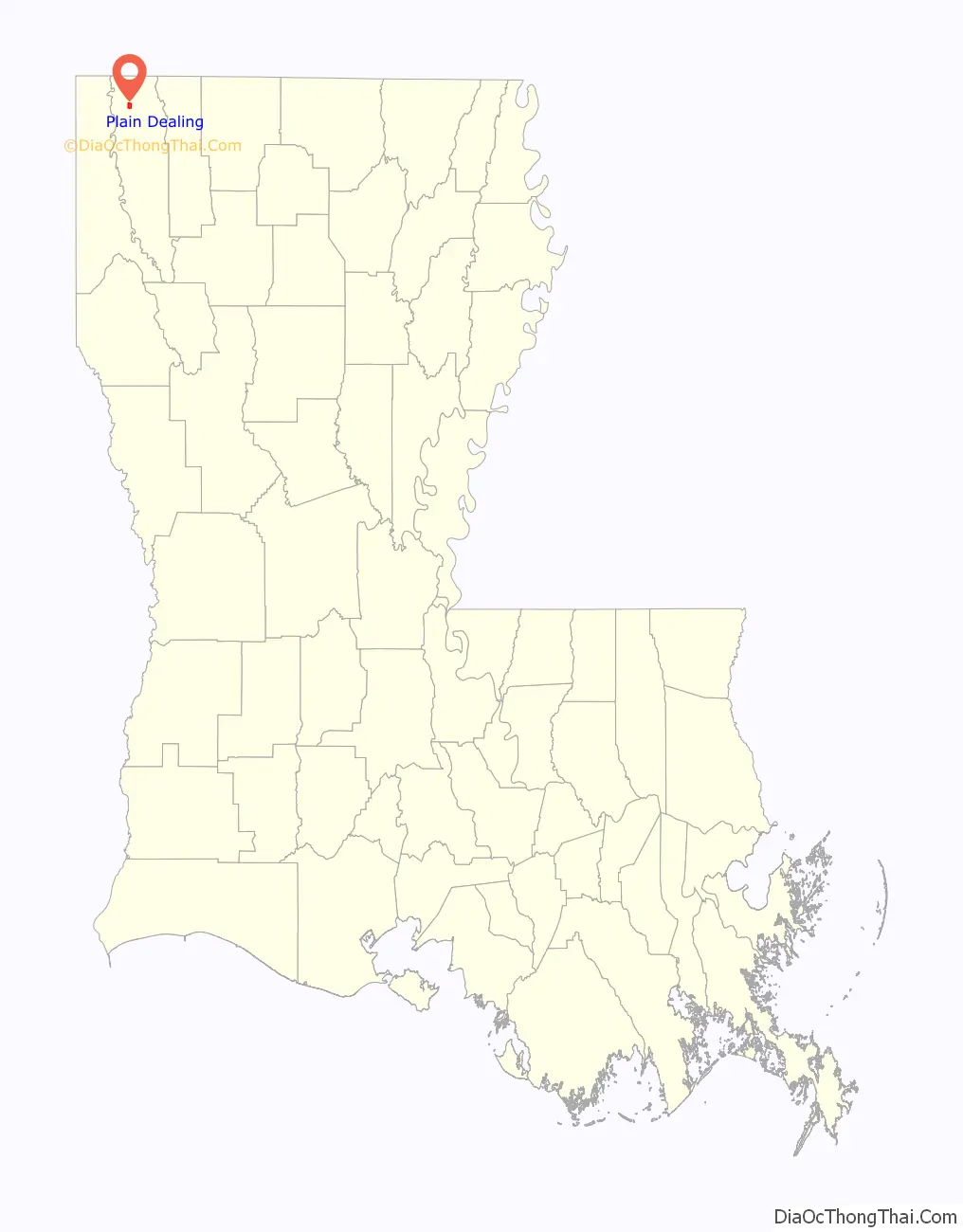
Plain Dealing location map. Where is Plain Dealing town?
History
Prior to 1839, the United States government forcibly removed the Caddo Nation of Native Americans—longtime local inhabitants who had first settled the area over 1,000 years before Europeans’ 16th-century arrival in mainland North America—from the area of Northern Louisiana that included the parcel that would later become the town of Plain Dealing.
In 1839, George Oglethorpe Gilmer and his son, James Blair Gilmer, bought 5,000 acres of this land—now described as a “vast, unsettled wilderness”—from the United States government, calling a portion of this acreage “Plain Dealing” after the family’s Virginia plantation. The “Plain Dealing” name became official when the town was formally chartered on April 24, 1890.
On 26 March, 1893, during an evening school dance at Plain Dealing High School, a fight broke out. Two students were shot and killed immediately, two more were fatally wounded, and the high school’s Professor Johnson was wounded in the arm.
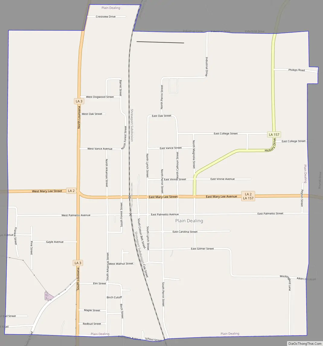
Plain Dealing Road Map
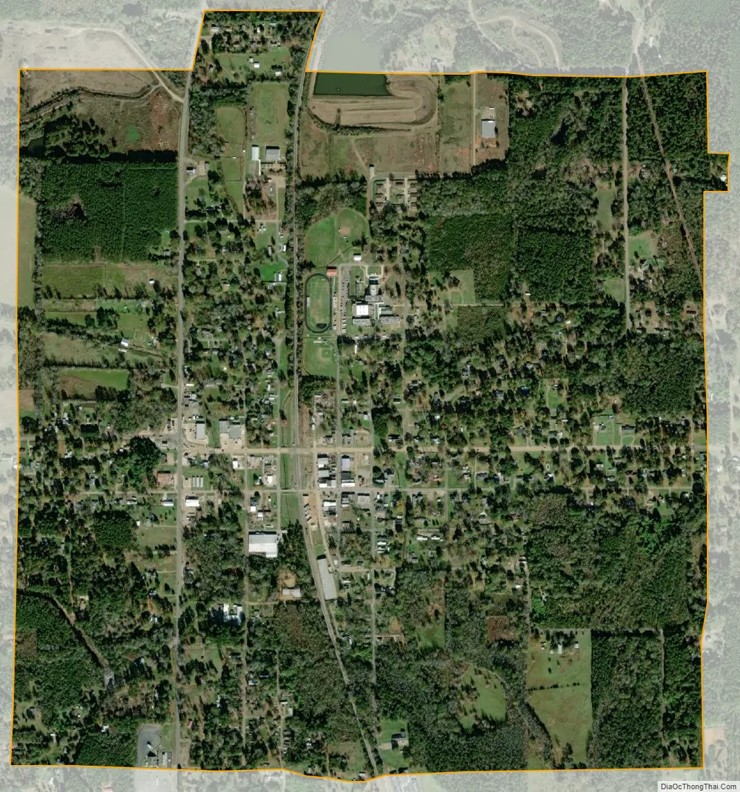
Plain Dealing city Satellite Map
Geography
Plain Dealing is 8 miles (13 km) south of the Arkansas border and 31 miles (50 km) north of Shreveport.
According to the United States Census Bureau, the town has a total area of 1.6 square miles (4.1 km), of which 0.004 square miles (0.01 km), or 0.26%, is water.
Climate
According to the Köppen Climate Classification system, Plain Dealing has a humid subtropical climate, abbreviated “Cfa” on climate maps. The hottest temperature recorded in Plain Dealing was 114 °F (45.6 °C) on August 10, 1936, while the coldest temperature recorded was −14 °F (−25.6 °C) on February 13, 1899. The record high temperature is also the highest temperature ever recorded in Louisiana.
See also
Map of Louisiana State and its subdivision:- Acadia
- Allen
- Ascension
- Assumption
- Avoyelles
- Beauregard
- Bienville
- Bossier
- Caddo
- Calcasieu
- Caldwell
- Cameron
- Catahoula
- Claiborne
- Concordia
- De Soto
- East Baton Rouge
- East Carroll
- East Feliciana
- Evangeline
- Franklin
- Grant
- Iberia
- Iberville
- Jackson
- Jefferson
- Jefferson Davis
- La Salle
- Lafayette
- Lafourche
- Lincoln
- Livingston
- Madison
- Morehouse
- Natchitoches
- Orleans
- Ouachita
- Plaquemines
- Pointe Coupee
- Rapides
- Red River
- Richland
- Sabine
- Saint Bernard
- Saint Charles
- Saint Helena
- Saint James
- Saint John the Baptist
- Saint Landry
- Saint Martin
- Saint Mary
- Saint Tammany
- Tangipahoa
- Tensas
- Terrebonne
- Union
- Vermilion
- Vernon
- Washington
- Webster
- West Baton Rouge
- West Carroll
- West Feliciana
- Winn
- Alabama
- Alaska
- Arizona
- Arkansas
- California
- Colorado
- Connecticut
- Delaware
- District of Columbia
- Florida
- Georgia
- Hawaii
- Idaho
- Illinois
- Indiana
- Iowa
- Kansas
- Kentucky
- Louisiana
- Maine
- Maryland
- Massachusetts
- Michigan
- Minnesota
- Mississippi
- Missouri
- Montana
- Nebraska
- Nevada
- New Hampshire
- New Jersey
- New Mexico
- New York
- North Carolina
- North Dakota
- Ohio
- Oklahoma
- Oregon
- Pennsylvania
- Rhode Island
- South Carolina
- South Dakota
- Tennessee
- Texas
- Utah
- Vermont
- Virginia
- Washington
- West Virginia
- Wisconsin
- Wyoming