Sibley is a town in south Webster Parish, Louisiana, United States. The population was 1,218 at the 2010 census. It is part of the Minden Micropolitan Statistical Area.
The former Sibley High School, now known as Lakeside Junior and Senior High School, is located south of town off Louisiana Highway 7. The Sibley Town Hall was relocated to a portion of the former Sibley High School campus.
In a predominantly African American section of Yellow Pine is a community formerly known as “King Solomon Hill,” centered on an actual hill on which stood King Solomon Hill Baptist Church. (The community is now known as “Salt Works.”) The blues historian Gayle Dean Wardlow concluded that it was from this address that Paramount Records chose to give the blues musician Joe Holmes, a resident of Sibley, the recording name of King Solomon Hill.
| Name: | Sibley town |
|---|---|
| LSAD Code: | 43 |
| LSAD Description: | town (suffix) |
| State: | Louisiana |
| County: | Webster Parish |
| Elevation: | 200 ft (60 m) |
| Total Area: | 4.00 sq mi (10.35 km²) |
| Land Area: | 3.89 sq mi (10.06 km²) |
| Water Area: | 0.11 sq mi (0.29 km²) |
| Total Population: | 1,127 |
| Population Density: | 290.02/sq mi (111.98/km²) |
| ZIP code: | 71073 |
| Area code: | 318 |
| FIPS code: | 2270175 |
| Website: | www.sibleyla.com |
Online Interactive Map
Click on ![]() to view map in "full screen" mode.
to view map in "full screen" mode.
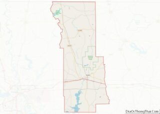
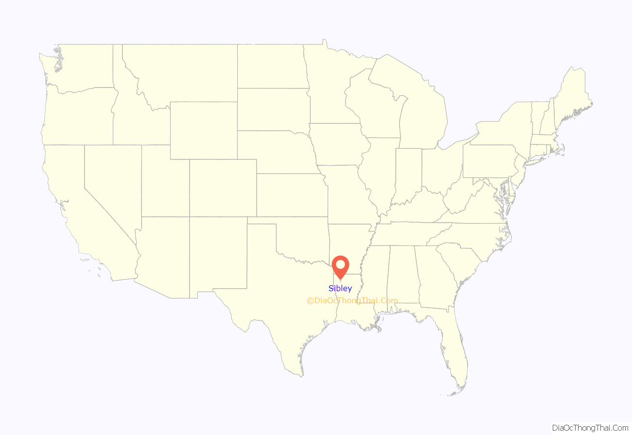
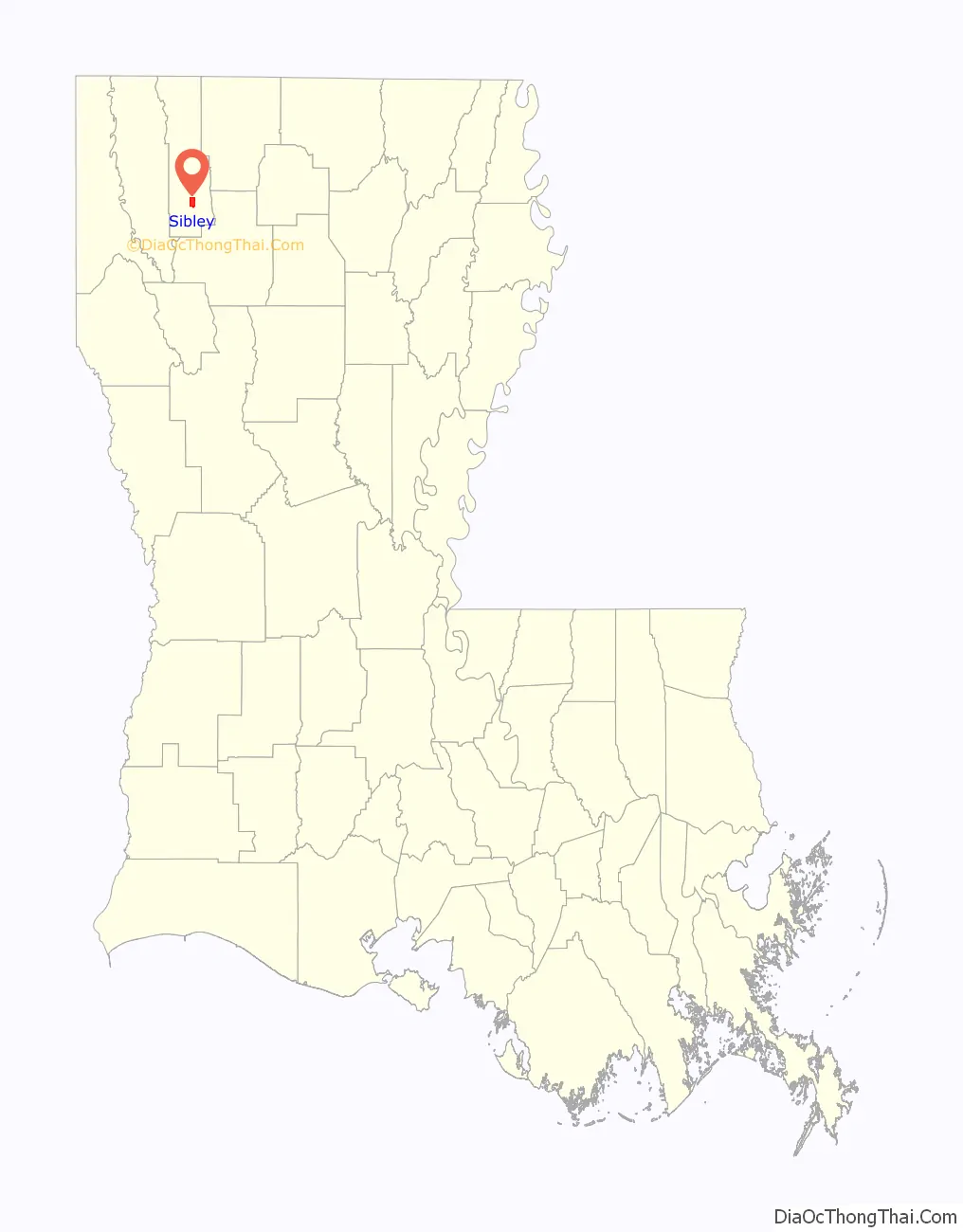
Sibley location map. Where is Sibley town?
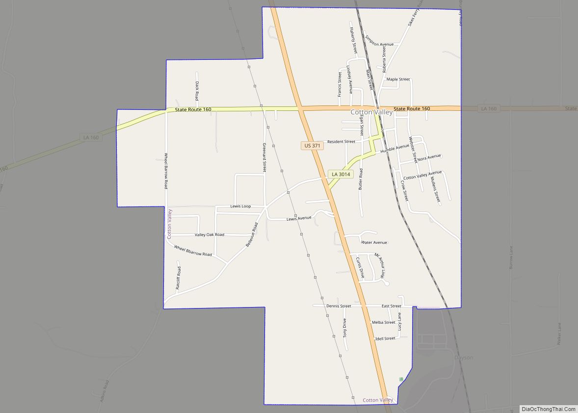
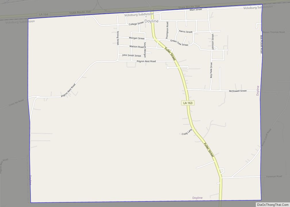
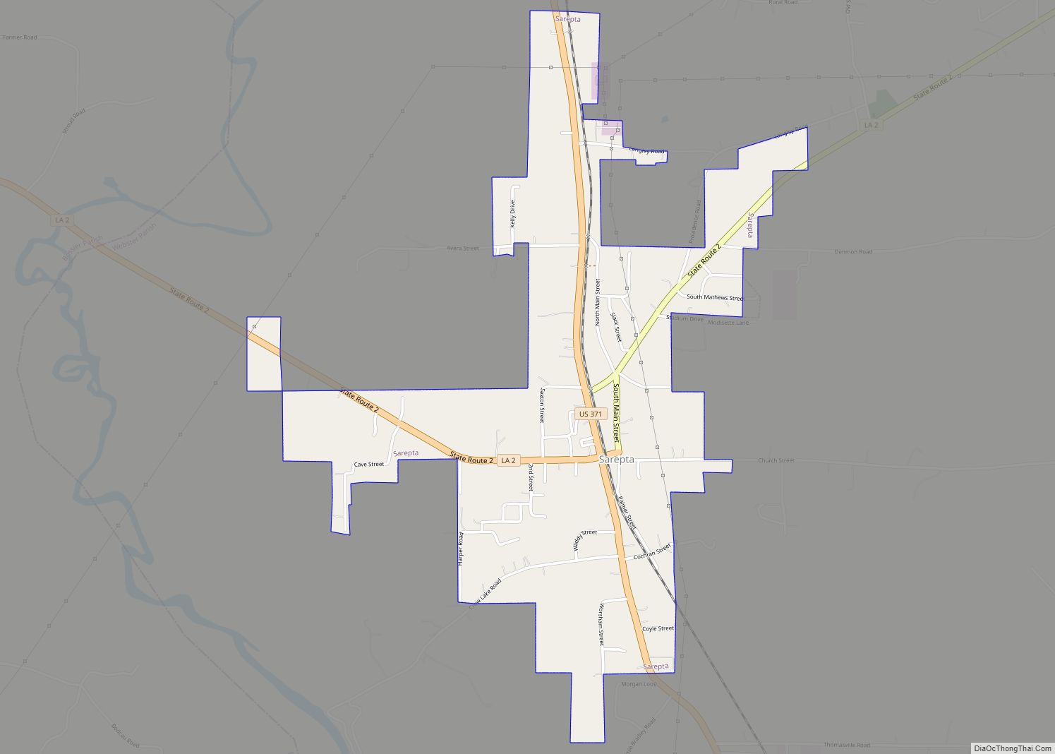
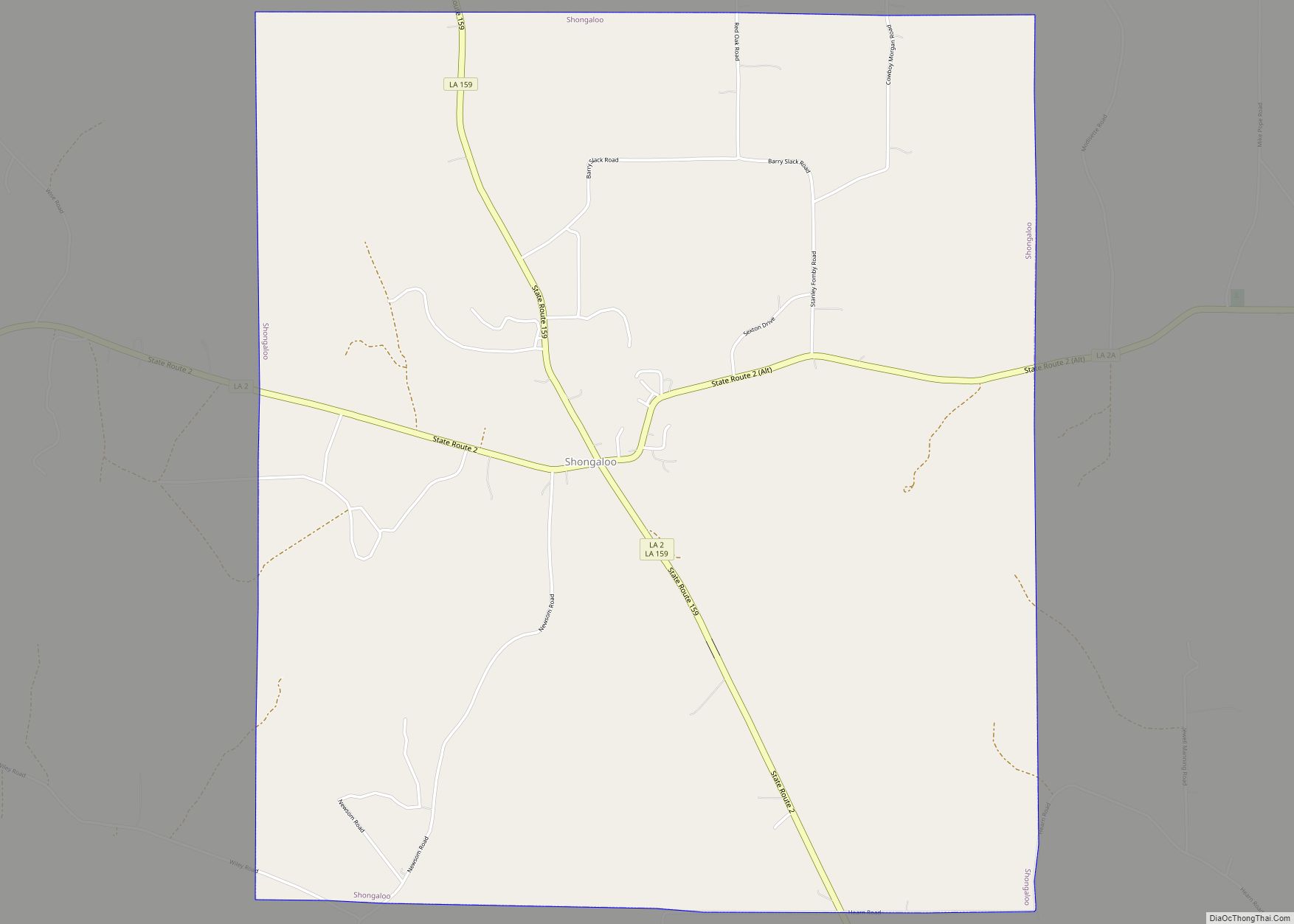
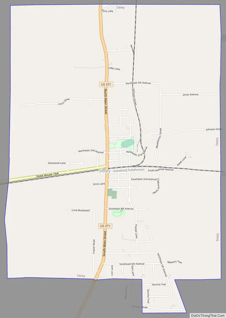
Sibley Road Map
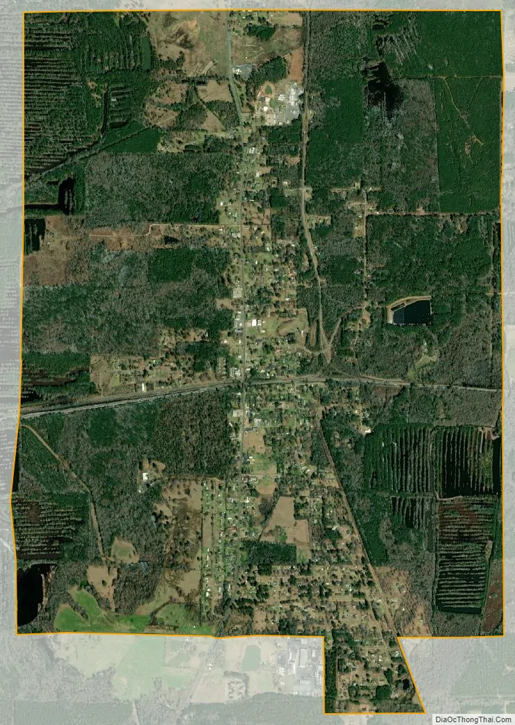
Sibley city Satellite Map
Geography
Sibley is located at 32°32′27″N 93°17′36″W / 32.54083°N 93.29333°W / 32.54083; -93.29333 (32.540704, -93.293208).
According to the United States Census Bureau, the town has a total area of 4.0 square miles (10.4 km), of which 3.9 square miles (10.0 km) is land and 0.1 square mile (0.4 km) (3.49%) is water.
See also
Map of Louisiana State and its subdivision:- Acadia
- Allen
- Ascension
- Assumption
- Avoyelles
- Beauregard
- Bienville
- Bossier
- Caddo
- Calcasieu
- Caldwell
- Cameron
- Catahoula
- Claiborne
- Concordia
- De Soto
- East Baton Rouge
- East Carroll
- East Feliciana
- Evangeline
- Franklin
- Grant
- Iberia
- Iberville
- Jackson
- Jefferson
- Jefferson Davis
- La Salle
- Lafayette
- Lafourche
- Lincoln
- Livingston
- Madison
- Morehouse
- Natchitoches
- Orleans
- Ouachita
- Plaquemines
- Pointe Coupee
- Rapides
- Red River
- Richland
- Sabine
- Saint Bernard
- Saint Charles
- Saint Helena
- Saint James
- Saint John the Baptist
- Saint Landry
- Saint Martin
- Saint Mary
- Saint Tammany
- Tangipahoa
- Tensas
- Terrebonne
- Union
- Vermilion
- Vernon
- Washington
- Webster
- West Baton Rouge
- West Carroll
- West Feliciana
- Winn
- Alabama
- Alaska
- Arizona
- Arkansas
- California
- Colorado
- Connecticut
- Delaware
- District of Columbia
- Florida
- Georgia
- Hawaii
- Idaho
- Illinois
- Indiana
- Iowa
- Kansas
- Kentucky
- Louisiana
- Maine
- Maryland
- Massachusetts
- Michigan
- Minnesota
- Mississippi
- Missouri
- Montana
- Nebraska
- Nevada
- New Hampshire
- New Jersey
- New Mexico
- New York
- North Carolina
- North Dakota
- Ohio
- Oklahoma
- Oregon
- Pennsylvania
- Rhode Island
- South Carolina
- South Dakota
- Tennessee
- Texas
- Utah
- Vermont
- Virginia
- Washington
- West Virginia
- Wisconsin
- Wyoming