Vivian is a town in Caddo Parish, Louisiana, United States and is home to the Red Bud Festival. The population was 3,671 at the 2010 census, down from 4,031 in 2000. According to 2020 census data, Vivian is now the fourth-largest municipality in Caddo Parish by population (after Blanchard, Greenwood, and Shreveport).
| Name: | Vivian town |
|---|---|
| LSAD Code: | 43 |
| LSAD Description: | town (suffix) |
| State: | Louisiana |
| County: | Caddo Parish |
| Elevation: | 256 ft (78 m) |
| Total Area: | 5.52 sq mi (14.29 km²) |
| Land Area: | 5.52 sq mi (14.29 km²) |
| Water Area: | 0.00 sq mi (0.00 km²) |
| Total Population: | 3,073 |
| Population Density: | 557.01/sq mi (215.06/km²) |
| Area code: | 318 |
| FIPS code: | 2278890 |
| Website: | townofvivian.us |
Online Interactive Map
Click on ![]() to view map in "full screen" mode.
to view map in "full screen" mode.
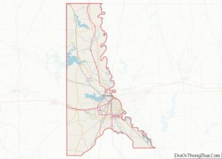
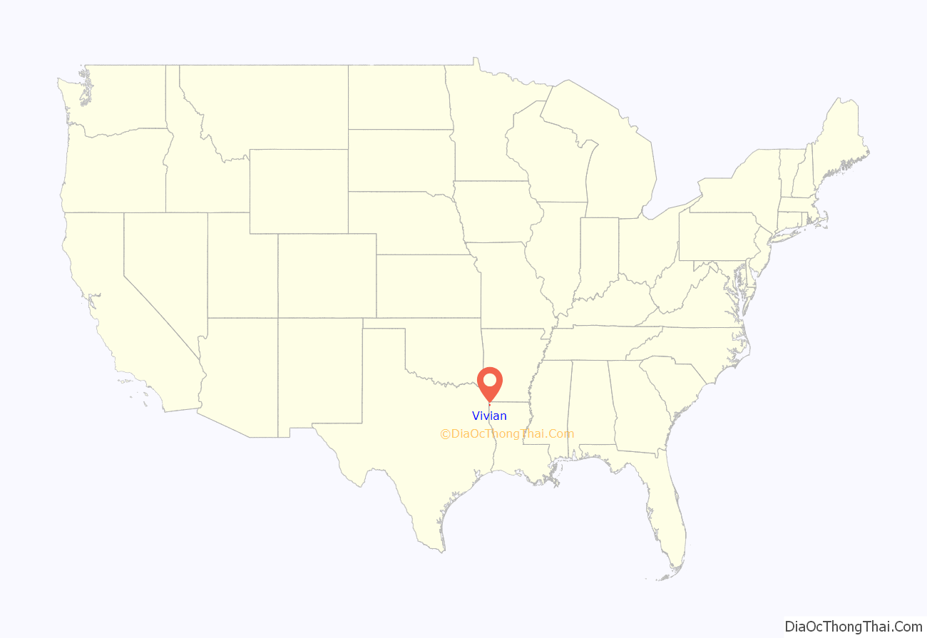
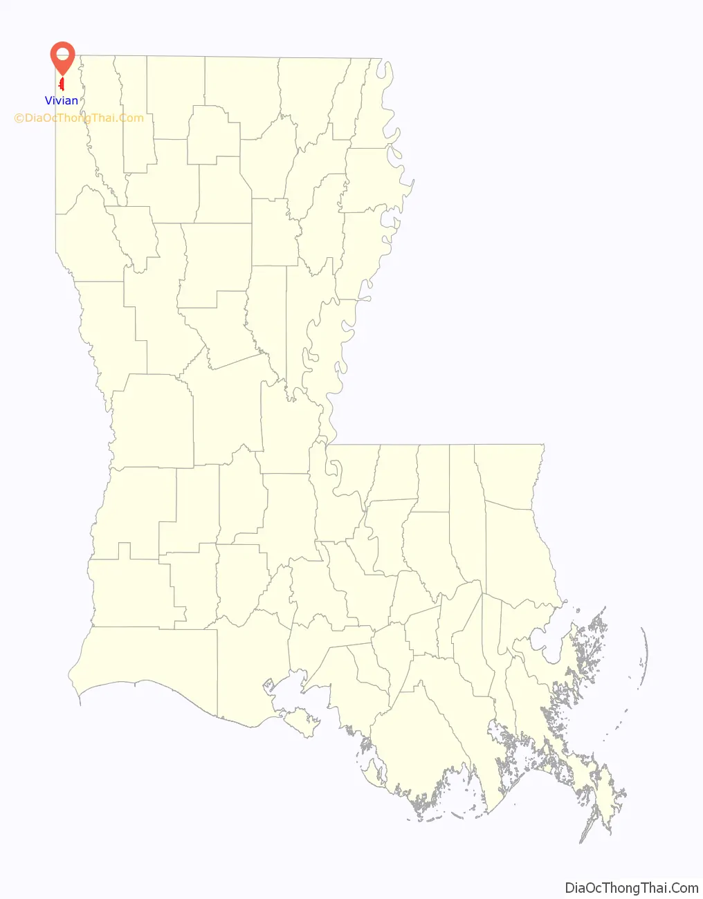
Vivian location map. Where is Vivian town?
History
Vivian developed as a trading center and center of a retail area that included smaller towns in the area. During its heyday, people from the region used to visit Vivian for shopping and movies, especially on the weekends.
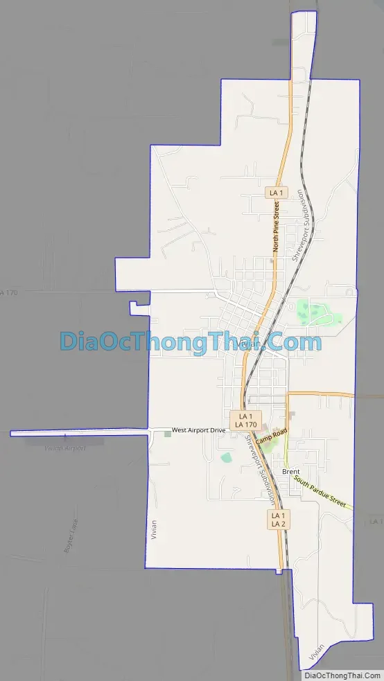
Vivian Road Map
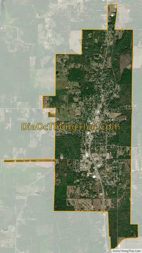
Vivian city Satellite Map
Geography
Vivian is in northwestern Caddo Parish. Louisiana Highway 1 passes through the center of the town, leading north 11 miles (18 km) to the Texas border at the northwest corner of Louisiana, and south 30 miles (48 km) to Shreveport. LA 2 leads east 7 miles (11 km) to U.S. Route 71 in Hosston.
According to the United States Census Bureau, Vivian has an area of 5.5 square miles (14.2 km), all land.
See also
Map of Louisiana State and its subdivision:- Acadia
- Allen
- Ascension
- Assumption
- Avoyelles
- Beauregard
- Bienville
- Bossier
- Caddo
- Calcasieu
- Caldwell
- Cameron
- Catahoula
- Claiborne
- Concordia
- De Soto
- East Baton Rouge
- East Carroll
- East Feliciana
- Evangeline
- Franklin
- Grant
- Iberia
- Iberville
- Jackson
- Jefferson
- Jefferson Davis
- La Salle
- Lafayette
- Lafourche
- Lincoln
- Livingston
- Madison
- Morehouse
- Natchitoches
- Orleans
- Ouachita
- Plaquemines
- Pointe Coupee
- Rapides
- Red River
- Richland
- Sabine
- Saint Bernard
- Saint Charles
- Saint Helena
- Saint James
- Saint John the Baptist
- Saint Landry
- Saint Martin
- Saint Mary
- Saint Tammany
- Tangipahoa
- Tensas
- Terrebonne
- Union
- Vermilion
- Vernon
- Washington
- Webster
- West Baton Rouge
- West Carroll
- West Feliciana
- Winn
- Alabama
- Alaska
- Arizona
- Arkansas
- California
- Colorado
- Connecticut
- Delaware
- District of Columbia
- Florida
- Georgia
- Hawaii
- Idaho
- Illinois
- Indiana
- Iowa
- Kansas
- Kentucky
- Louisiana
- Maine
- Maryland
- Massachusetts
- Michigan
- Minnesota
- Mississippi
- Missouri
- Montana
- Nebraska
- Nevada
- New Hampshire
- New Jersey
- New Mexico
- New York
- North Carolina
- North Dakota
- Ohio
- Oklahoma
- Oregon
- Pennsylvania
- Rhode Island
- South Carolina
- South Dakota
- Tennessee
- Texas
- Utah
- Vermont
- Virginia
- Washington
- West Virginia
- Wisconsin
- Wyoming