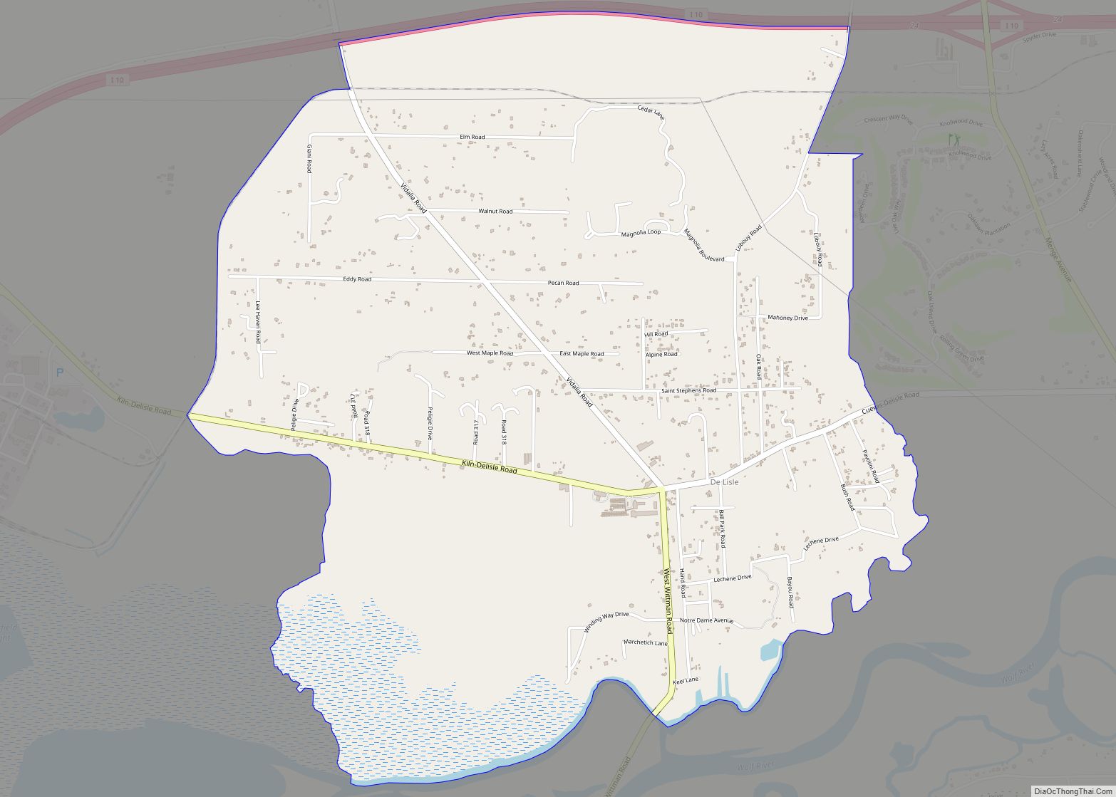
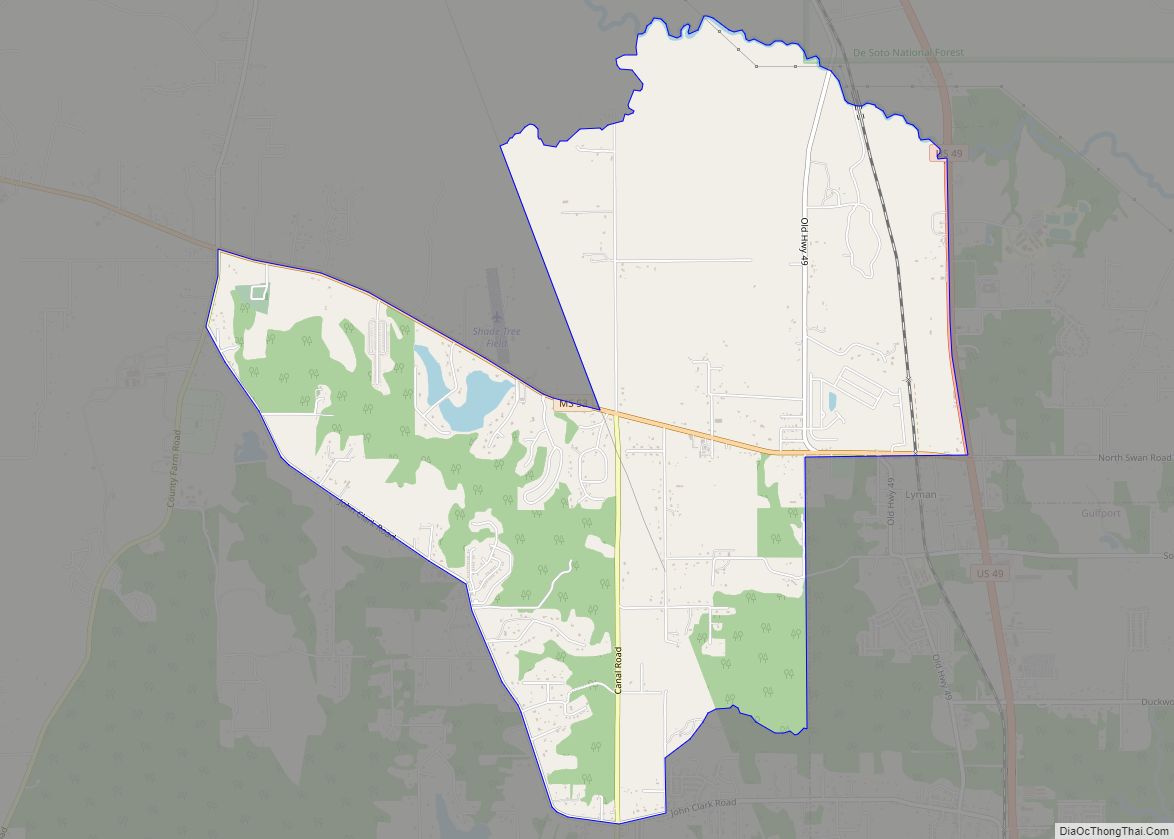
Lyman is a census-designated place (CDP) in Harrison County, Mississippi, United States. It is part of the Gulfport–Biloxi Metropolitan Statistical Area. The population was 1,277 at the 2010 census.
| Name: | Lyman CDP |
|---|---|
| LSAD Code: | 57 |
| LSAD Description: | CDP (suffix) |
| State: | Mississippi |
| County: | Harrison County |
| Elevation: | 89 ft (27 m) |
| Total Area: | 8.07 sq mi (20.91 km²) |
| Land Area: | 7.77 sq mi (20.13 km²) |
| Water Area: | 0.30 sq mi (0.77 km²) |
| Total Population: | 2,372 |
| Population Density: | 305.12/sq mi (117.81/km²) |
| FIPS code: | 2842800 |
| GNISfeature ID: | 0693849 |
Online Interactive Map
Click on ![]() to view map in "full screen" mode.
to view map in "full screen" mode.
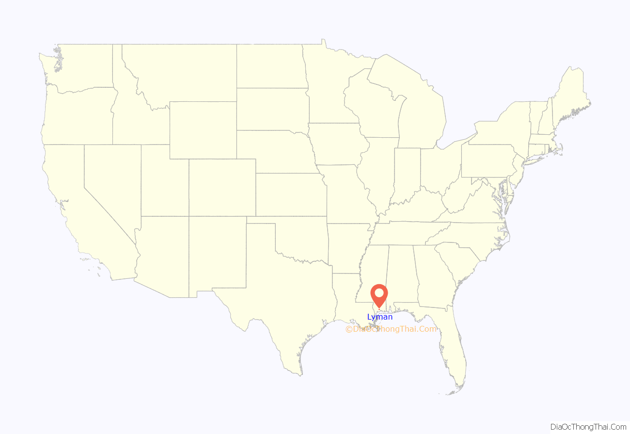
Lyman location map. Where is Lyman CDP?

History
Lyman was once home to an express mail office, saw mill, and general store.
Lyman is located on the Kansas City Southern Railway. The Gulf Coast Lumber Company and Ingram-Day Lumber Company were both located in Lyman.
A post office operated under the name Lyman from 1901 to 1974.
The United States Fish and Wildlife Service operated a fish hatchery in Lyman until 1973, when the Mississippi Department of Wildlife, Fisheries, and Parks took over operations of the fisheries station.
Lyman Road Map

Lyman city Satellite Map
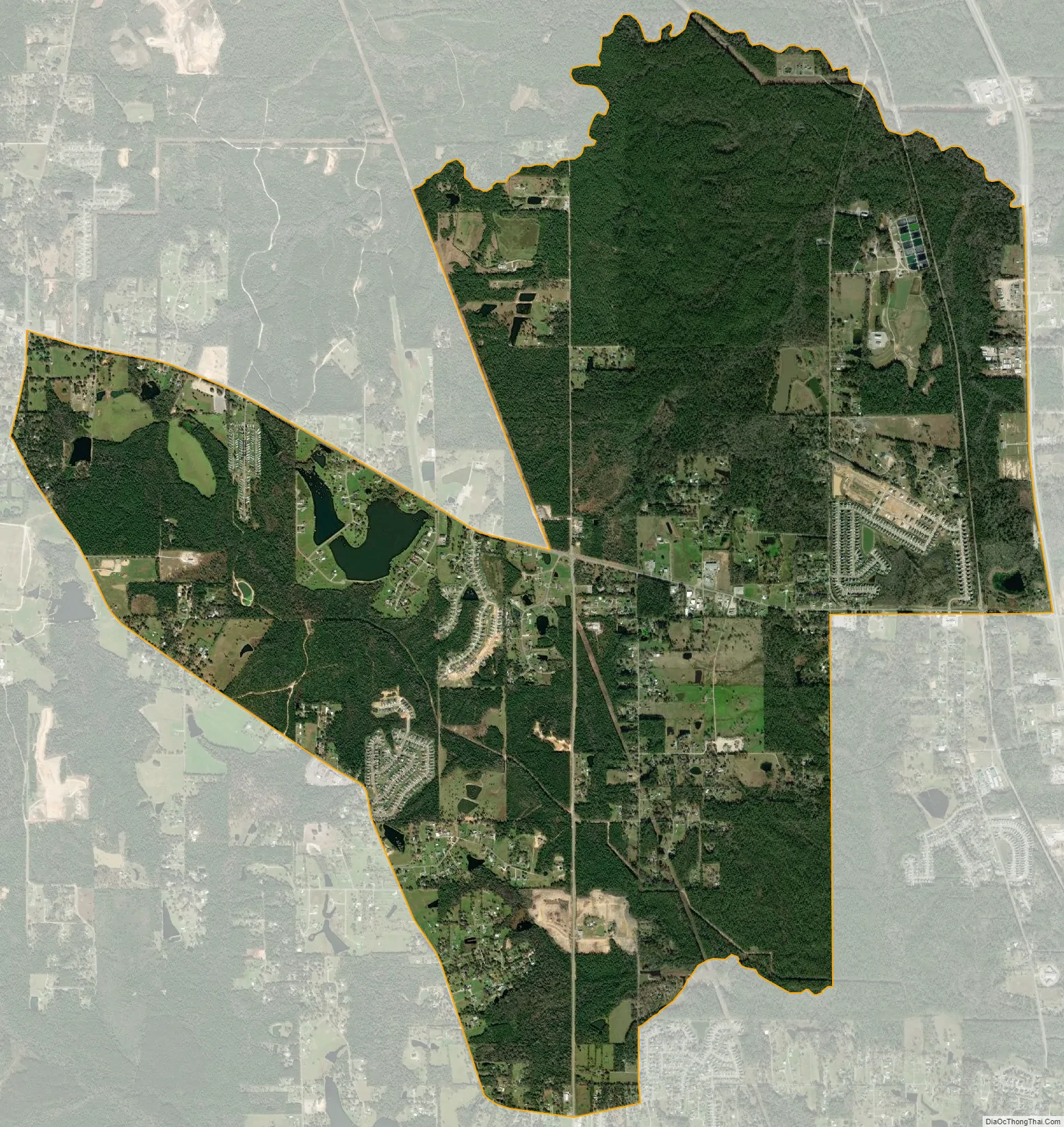
Geography
Lyman is located at 30°30′12″N 89°7′30″W / 30.50333°N 89.12500°W / 30.50333; -89.12500 (30.503222, -89.124894).
According to the United States Census Bureau, the CDP has a total area of 8.1 square miles (20.9 km), of which 7.8 square miles (20.1 km) is land and 0.31 square miles (0.8 km), or 3.69%, is water.
See also
Map of Mississippi State and its subdivision:- Adams
- Alcorn
- Amite
- Attala
- Benton
- Bolivar
- Calhoun
- Carroll
- Chickasaw
- Choctaw
- Claiborne
- Clarke
- Clay
- Coahoma
- Copiah
- Covington
- Desoto
- Forrest
- Franklin
- George
- Greene
- Grenada
- Hancock
- Harrison
- Hinds
- Holmes
- Humphreys
- Issaquena
- Itawamba
- Jackson
- Jasper
- Jefferson
- Jefferson Davis
- Jones
- Kemper
- Lafayette
- Lamar
- Lauderdale
- Lawrence
- Leake
- Lee
- Leflore
- Lincoln
- Lowndes
- Madison
- Marion
- Marshall
- Monroe
- Montgomery
- Neshoba
- Newton
- Noxubee
- Oktibbeha
- Panola
- Pearl River
- Perry
- Pike
- Pontotoc
- Prentiss
- Quitman
- Rankin
- Scott
- Sharkey
- Simpson
- Smith
- Stone
- Sunflower
- Tallahatchie
- Tate
- Tippah
- Tishomingo
- Tunica
- Union
- Walthall
- Warren
- Washington
- Wayne
- Webster
- Wilkinson
- Winston
- Yalobusha
- Yazoo
- Alabama
- Alaska
- Arizona
- Arkansas
- California
- Colorado
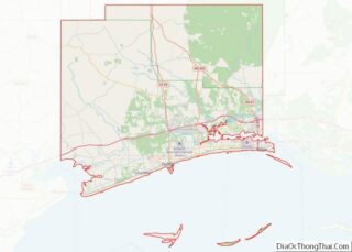
- Connecticut
- Delaware
- District of Columbia
- Florida
- Georgia
- Hawaii
- Idaho
- Illinois
- Indiana
- Iowa
- Kansas
- Kentucky
- Louisiana
- Maine
- Maryland
- Massachusetts
- Michigan
- Minnesota
- Mississippi
- Missouri
- Montana
- Nebraska
- Nevada
- New Hampshire
- New Jersey
- New Mexico
- New York
- North Carolina
- North Dakota
- Ohio
- Oklahoma
- Oregon
- Pennsylvania
- Rhode Island
- South Carolina
- South Dakota
- Tennessee
- Texas
- Utah
- Vermont
- Virginia
- Washington
- West Virginia
- Wisconsin
- Wyoming