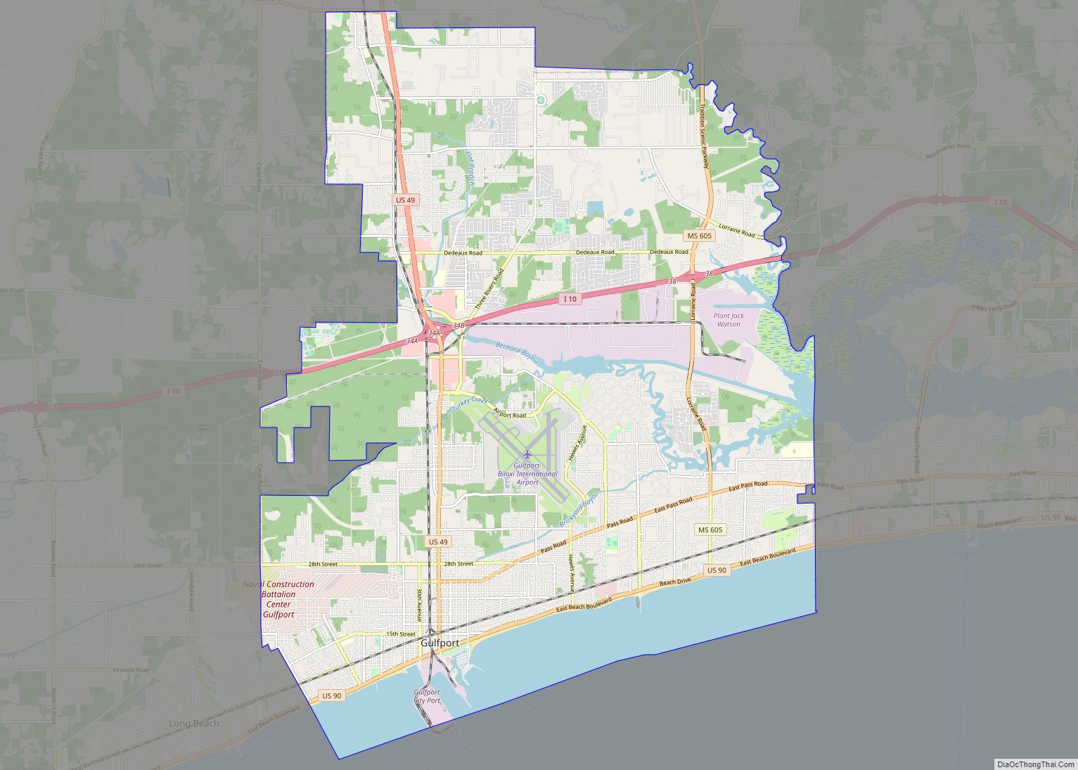
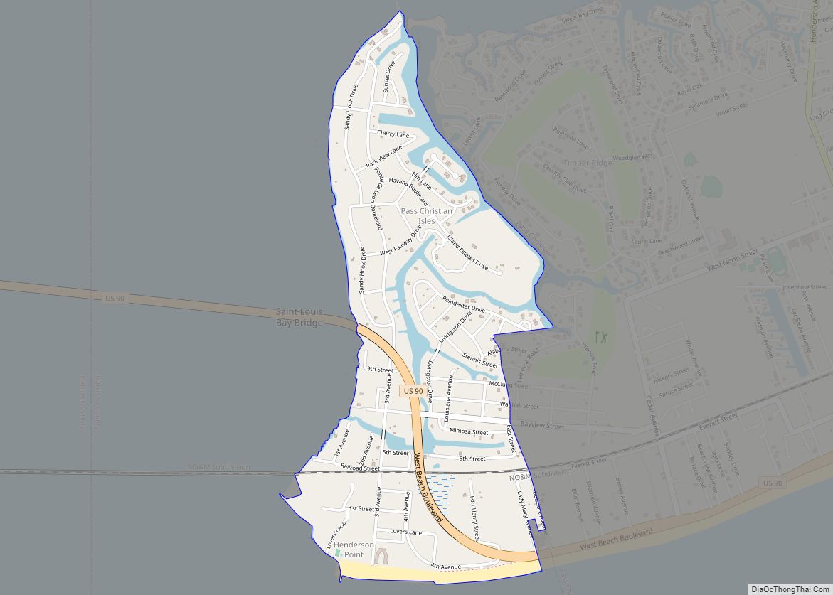
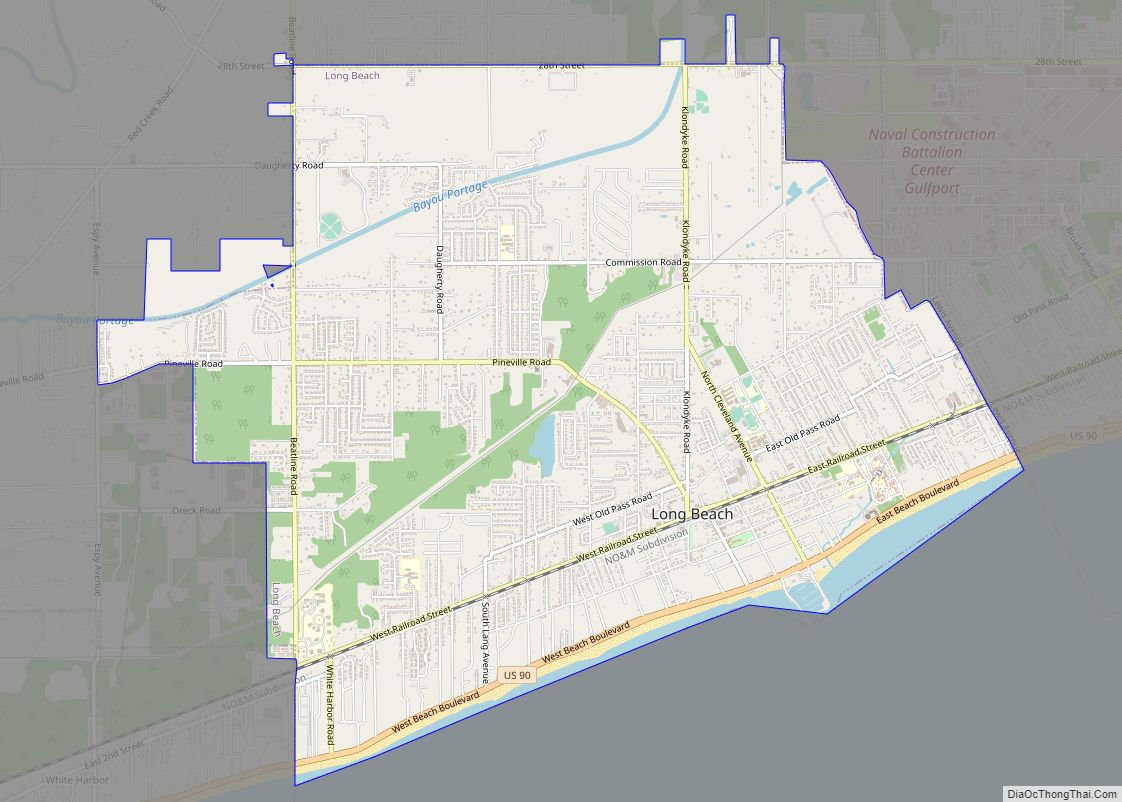
Pass Christian (/ˌpæs krɪstʃiˈæn/), nicknamed The Pass, is a city in Harrison County, Mississippi, United States. It is part of the Gulfport–Biloxi Metropolitan Statistical Area. The population was 6,307 at the 2019 census.
| Name: | Pass Christian city |
|---|---|
| LSAD Code: | 25 |
| LSAD Description: | city (suffix) |
| State: | Mississippi |
| County: | Harrison County |
| Elevation: | 13 ft (4 m) |
| Total Area: | 15.26 sq mi (39.53 km²) |
| Land Area: | 8.24 sq mi (21.33 km²) |
| Water Area: | 7.03 sq mi (18.20 km²) |
| Total Population: | 5,686 |
| Population Density: | 690.38/sq mi (266.57/km²) |
| ZIP code: | 39571 |
| Area code: | 228 |
| FIPS code: | 2855400 |
| GNISfeature ID: | 0675482 |
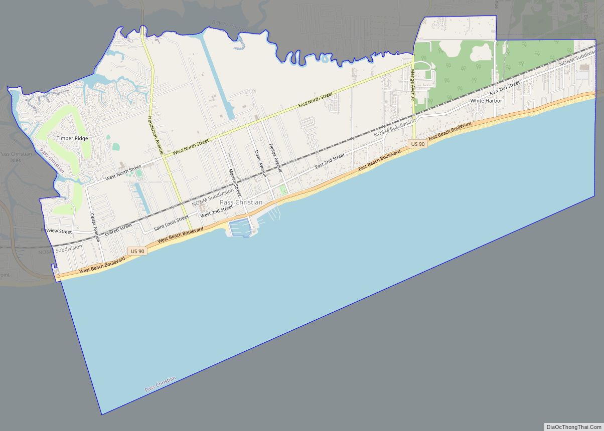
Online Interactive Map
Click on ![]() to view map in "full screen" mode.
to view map in "full screen" mode.
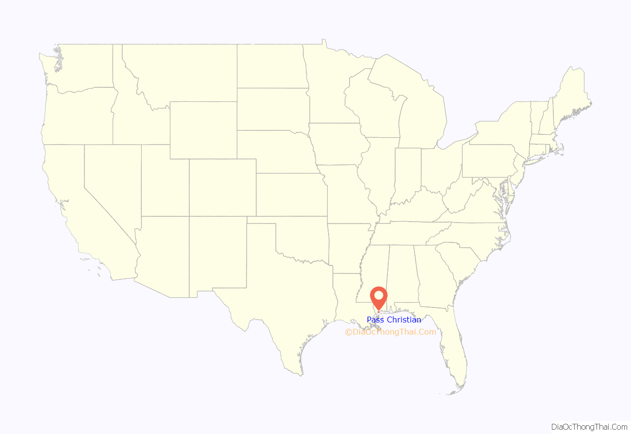
Pass Christian location map. Where is Pass Christian city?

History
Pre-European history
The exact date when Native Americans first arrived in the Gulf Coast area is not known, but artifacts have been found suggesting that humans have inhabited the area for many thousands of years.
Indian mounds can be found throughout the Gulf coast region of southern Mississippi, but many have been destroyed by artifact hunters, farmers, developers, and flooding. A 1768 English map shows one large mound existed on the shore near to Market Street. Others existed at Bayou Portage and the Shelly Plantation on the shore north of the Bay of St. Louis near DeLisle. The mounds and middens in the area containing arrowheads, pottery, and human skeletons were pilfered by amateur archaeologists over the years and many of the items recovered are in private collections. At the border of Pass Christian and Long Beach near where White Harbor Road meets Hwy. 90 there once existed an Indian village, whose inhabitants were referred to by locals as “The Pitcher Point Indians”. The approximate location of the Indian Village is just a few hundred yards east of White Harbor Road. There are no ruins at this location but the beach in this area has produced many arrowheads and pottery shards over the years.
French explorers
Pass Christian was discovered by French-Canadian explorers in 1699, shortly after the first French colony was established in Biloxi. In June 1699, while sounding the channel at the Pass Christian peninsula, the French named that channel Passe aux Huîtres for the many oysters they found there. Pass Christian was named for a nearby deepwater pass, which in turn was named for Nicholas Christian L’Adnier, who lived on nearby Cat Island beginning in 1746.
The Widow Asmard
In 1781 all of Pass Christian peninsula was owned by Julia de la Brosse (Widow Asmard). Upon her death in 1799, Widow Asmard deeded 800 arpents – the entire downtown Pass Christian – to Charles Asmar, a free person of color, who upon his death left the property to his heirs. Pass Christian was officially chartered as a town in 1848.
Antebellum Period
The town was a famous resort prior to the American Civil War. It was a favorite location for the beach and summer homes of the wealthy of New Orleans, who built a row of historic mansions along the shoreline, where Scenic Drive was one of the country’s notable historic districts. The Southern Yacht Club, established in 1849, was the first yacht club in the South and the second in the United States, and was originally located in Pass Christian before moving to New Orleans in 1857. The first sailing regatta on the Gulf Coast was sailed in the Mississippi Sound on July 21, 1849, and organized by the Pass Christian Regatta Club with twelve boats participating.
Hurricanes and disaster management
Pass Christian was in the path of two of the most intense hurricanes ever to hit the United States–Hurricane Camille on August 17, 1969, and Hurricane Katrina on August 29, 2005. Each hurricane caused the near total destruction of the city.
Hurricane Camille destroyed the Richelieu Apartments killing eight people who had chosen to ride the storm out. Early Sunday, August 17, the storm was southeast of New Orleans by 200 miles. A Hurricane Warning was then announced for the entire Mississippi Coast. Evacuation was advised but some of the occupants of the Richelieu apartments allegedly ignored the warning. The fictional hurricane party depicted in Hurricane, a 74-minute TV movie featuring some notable stars, includes original footage of Camille.
On August 29, 2005, Pass Christian was almost completely destroyed by Hurricane Katrina. Of the approximately 8,000 homes in Pass Christian, all but 500 were damaged or destroyed. In spite of the fact that the beachfront Scenic Drive follows the crest of a small bluff, affording it some elevation, most of the historic mansions along the road were severely damaged, and many were completely destroyed, including the superbly restored Greek Revival mansion “Union Quarters” described in the National Register of Historic Places as having been built in 1855. A cast-iron fence fronted the property, enclosing a Magnolia Historical Marker which was dedicated in 1960. It read, “Union officers were temporarily quartered here during the invasion of Pass Christian.”
Hurricane Katrina totally destroyed the local public library. It was rebuilt. Thirteen members of the city’s police department retreated to the library after the police station became unsafe and water from the Gulf of Mexico began to pour in.
The library was immediately north of City Hall across a small parking lot but was at a lower elevation. When the water crested the elevation of City Hall, the police cars in the parking lot began to float and were carried around the parking lot by the current. One car struck the south side doors, causing them to implode, and the Gulf of Mexico driven by Katrina’s powerful winds rushed into the building. With no way to fight against the current they were trapped inside a concrete box that was rapidly filling with water. Knowing that they had to escape they attempted to shoot the glass out of the north side of the building. This was unsuccessful, as the bullets ricocheted off the glass. The laminated glass proved impervious to the .45 caliber rounds of the police-issue handguns. The force of the water entering the building after the southern wall was destroyed by the car was far too strong to swim against. The only way out was with the current. Police Chief John Dubbisson swam to the rear doors that had to be opened where he successfully touched the push bar. He then grabbed a railing before the storm surge could carry him off. All that were inside the library made it outside and rode out the rest of the storm on the roof.
The storm surge from Hurricane Katrina that hit Pass Christian was estimated at 8.5 m (27.8 ft), which is the US record high, leveling Pass Christian up to half a mile inland from the shore; estimation of highest storm surges was complicated because high-water markers were also destroyed. Highway 90 along the beach was damaged, and the bridge over the Bay of St. Louis was thrown completely apart, not being reopened until a new bridge was partially completed in May 2007. (Connection was temporarily replaced by a ferry service.) Sewage contamination rendered the local water supply unusable, as some samples tested positive for more than 250 bacteria and parasites. By late September 2005, access was restricted south of the railroad tracks (about four blocks inland) without proper credentials, as crews continued to search for victims and clear debris. In early 2007, although rebuilding was underway in much of the city, a large portion of empty, deserted homes and other structures remain. Many residents were still living in FEMA trailers, and out-of-state volunteers were still needed for the rebuilding effort.
Pass Christian Road Map

Pass Christian city Satellite Map

Geography
According to the United States Census Bureau, the city has a total area of 15.3 square miles (40 km), of which 8.4 square miles (22 km) is land and 6.9 square miles (18 km) (44.97%) is water.
Geographically, the town of Pass Christian located on the Mississippi Sound, and is situated on a peninsula, with water on three sides: the Gulf of Mexico to the south, the Bay of St. Louis to the west and a long stretch of bayou to the north.
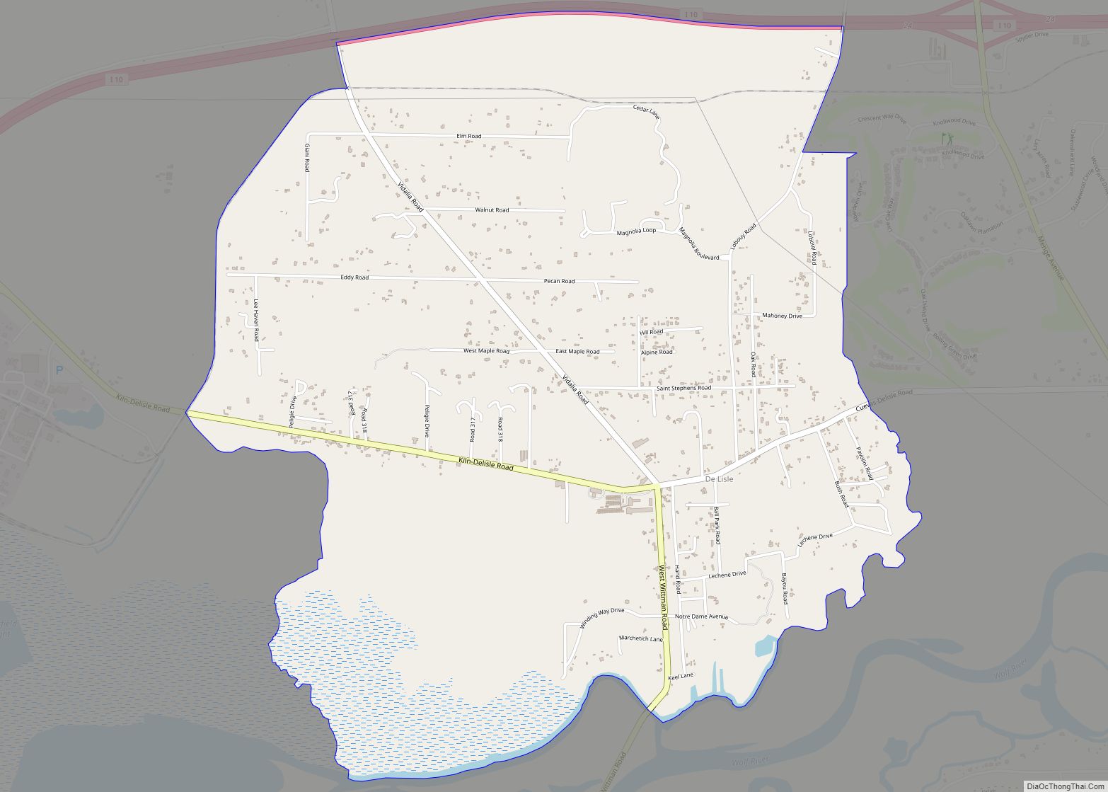
The unincorporated area north of the bayou, known as DeLisle, shares a zip code with Pass Christian, but is not within the city limits. DeLisle was formerly known as Wolf Town or Wolftown.
Pass Christian Harbor
The Municipal Harbor was formalized in 1956 with the creation of a Harbor Commission. In 1958, an 11-foot high, 350-foot long, concrete, breakwater wall was constructed in the sound by the T.L. James Company.
See also
Map of Mississippi State and its subdivision:- Adams
- Alcorn
- Amite
- Attala
- Benton
- Bolivar
- Calhoun
- Carroll
- Chickasaw
- Choctaw
- Claiborne
- Clarke
- Clay
- Coahoma
- Copiah
- Covington
- Desoto
- Forrest
- Franklin
- George
- Greene
- Grenada
- Hancock
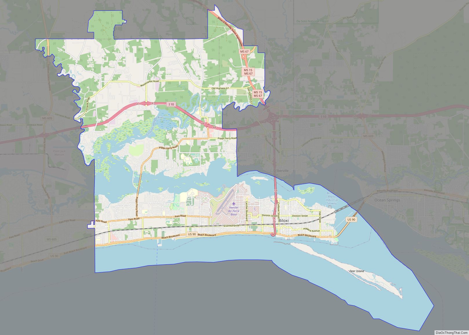
- Harrison
- Hinds
- Holmes
- Humphreys
- Issaquena
- Itawamba
- Jackson
- Jasper
- Jefferson
- Jefferson Davis
- Jones
- Kemper
- Lafayette
- Lamar
- Lauderdale
- Lawrence
- Leake
- Lee
- Leflore
- Lincoln
- Lowndes
- Madison
- Marion
- Marshall
- Monroe
- Montgomery
- Neshoba
- Newton
- Noxubee
- Oktibbeha
- Panola
- Pearl River
- Perry
- Pike
- Pontotoc
- Prentiss
- Quitman
- Rankin
- Scott
- Sharkey
- Simpson
- Smith
- Stone
- Sunflower
- Tallahatchie
- Tate
- Tippah
- Tishomingo
- Tunica
- Union
- Walthall
- Warren
- Washington
- Wayne
- Webster
- Wilkinson
- Winston
- Yalobusha
- Yazoo
- Alabama
- Alaska
- Arizona
- Arkansas
- California
- Colorado
- Connecticut
- Delaware
- District of Columbia
- Florida
- Georgia
- Hawaii
- Idaho
- Illinois
- Indiana
- Iowa
- Kansas
- Kentucky
- Louisiana
- Maine
- Maryland
- Massachusetts
- Michigan
- Minnesota
- Mississippi
- Missouri
- Montana
- Nebraska
- Nevada
- New Hampshire
- New Jersey
- New Mexico
- New York
- North Carolina
- North Dakota
- Ohio
- Oklahoma
- Oregon
- Pennsylvania
- Rhode Island
- South Carolina
- South Dakota
- Tennessee
- Texas
- Utah
- Vermont
- Virginia
- Washington
- West Virginia
- Wisconsin
- Wyoming