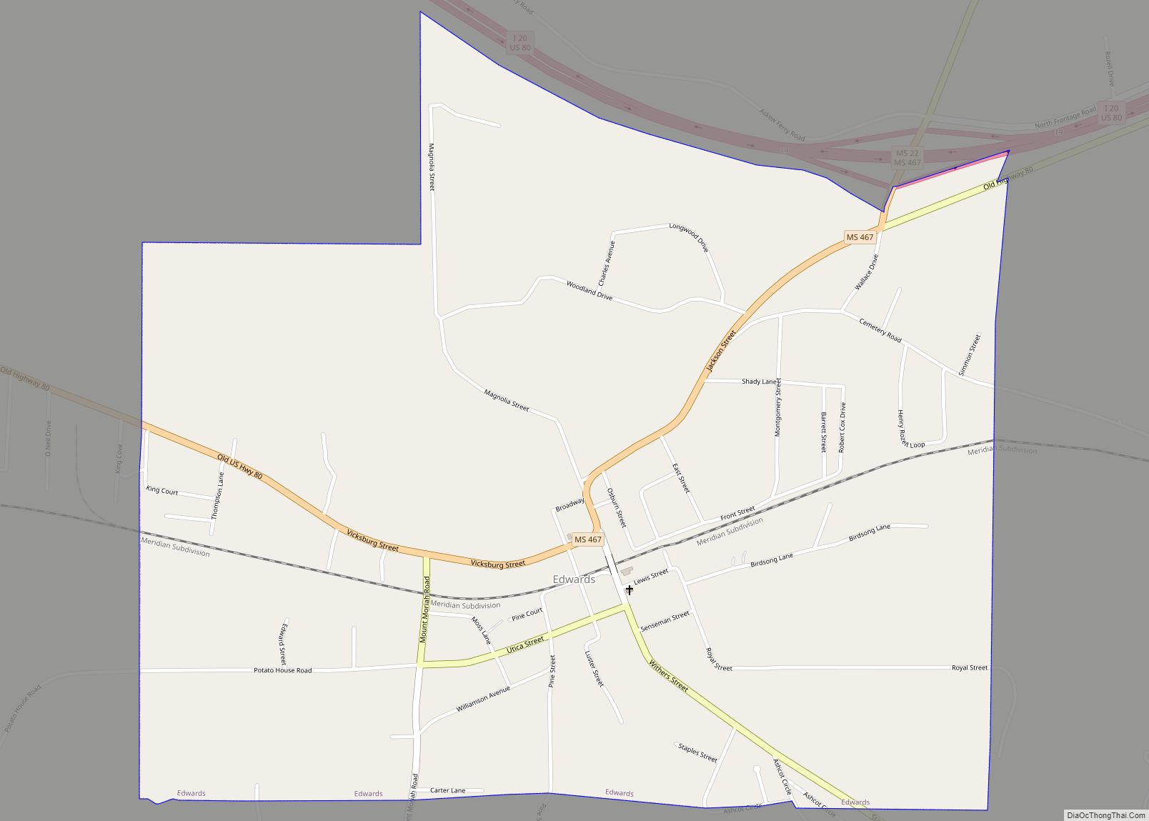
Edwards is a town in Hinds County, Mississippi, United States. The population was 1,034 at the 2010 census, down from 1,347 at the 2000 census. It is part of the Jackson Metropolitan Statistical Area.
| Name: | Edwards town |
|---|---|
| LSAD Code: | 43 |
| LSAD Description: | town (suffix) |
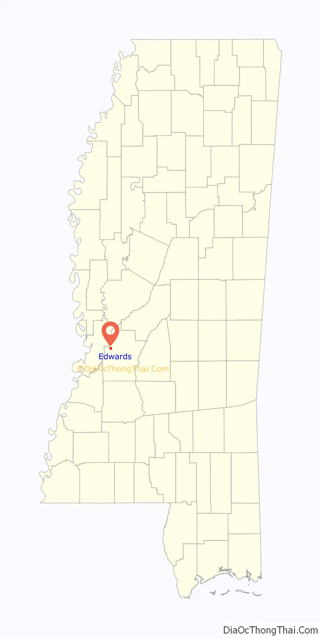
| State: | Mississippi |
| County: | Hinds County |
| Elevation: | 236 ft (72 m) |
| Total Area: | 1.66 sq mi (4.30 km²) |
| Land Area: | 1.66 sq mi (4.30 km²) |
| Water Area: | 0.00 sq mi (0.00 km²) |
| Total Population: | 995 |
| Population Density: | 599.40/sq mi (231.42/km²) |
| ZIP code: | 39066 |
| Area code: | 601 |
| FIPS code: | 2821580 |
| GNISfeature ID: | 0669683 |
| Website: | townofedwards.com |
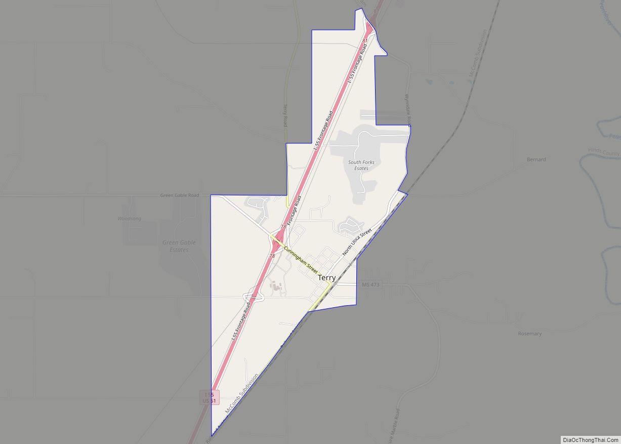
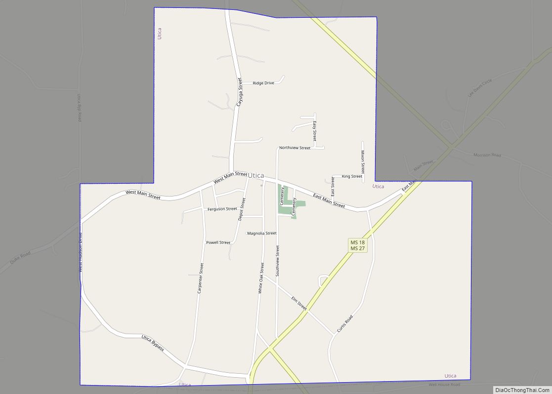
Online Interactive Map
Click on ![]() to view map in "full screen" mode.
to view map in "full screen" mode.
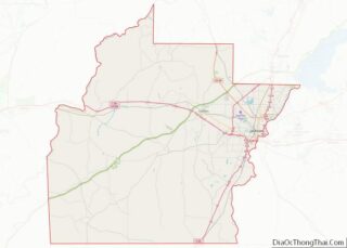
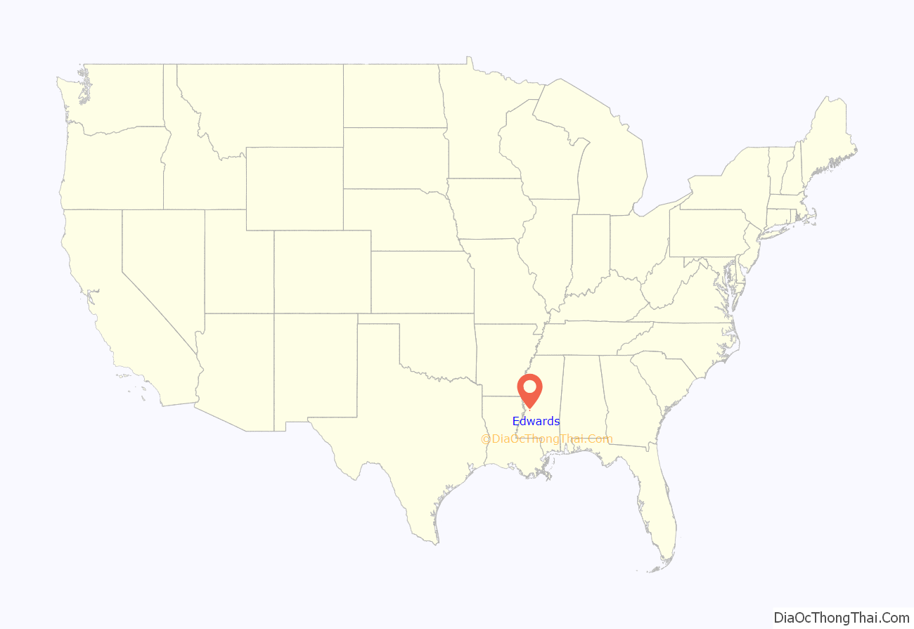
Edwards location map. Where is Edwards town?
History
Edwards is named for Dick Edwards, owner and proprietor of the Edwards House in Jackson, Mississippi.
Edwards was originally named “Amsterdam” and settled in the 1830s. In 1832 it suffered from a cholera epidemic and was then bypassed by the Alabama and Vicksburg Rail Road. This happened in 1839 when R. O. Edwards’ plantation became a stop on the railroad known as Edwards Depot.
The depot was burned to prevent its use during the Civil War in 1863. The current site of Edwards was chosen in 1866 and was incorporated in 1871.
In 1882 the Southern Christian Institute was opened by the Christian Church (Disciples of Christ) in the town to educate African-Americans. It later became Bonner-Campbell College. In 1897 Edwards suffered an attack of yellow fever that killed many residents of the town.
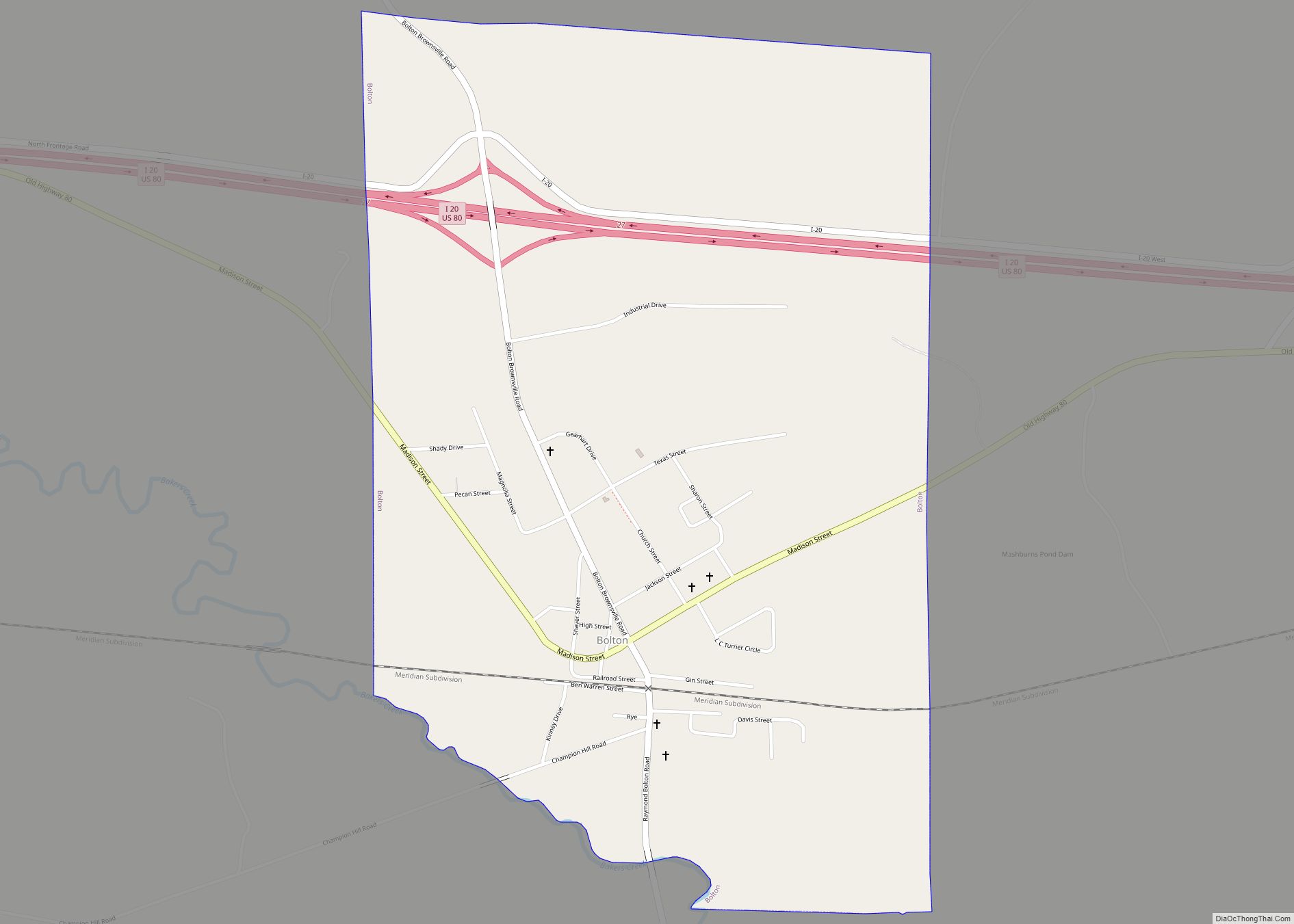
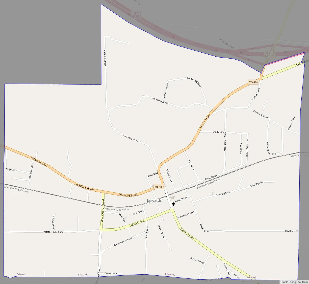
Edwards Road Map
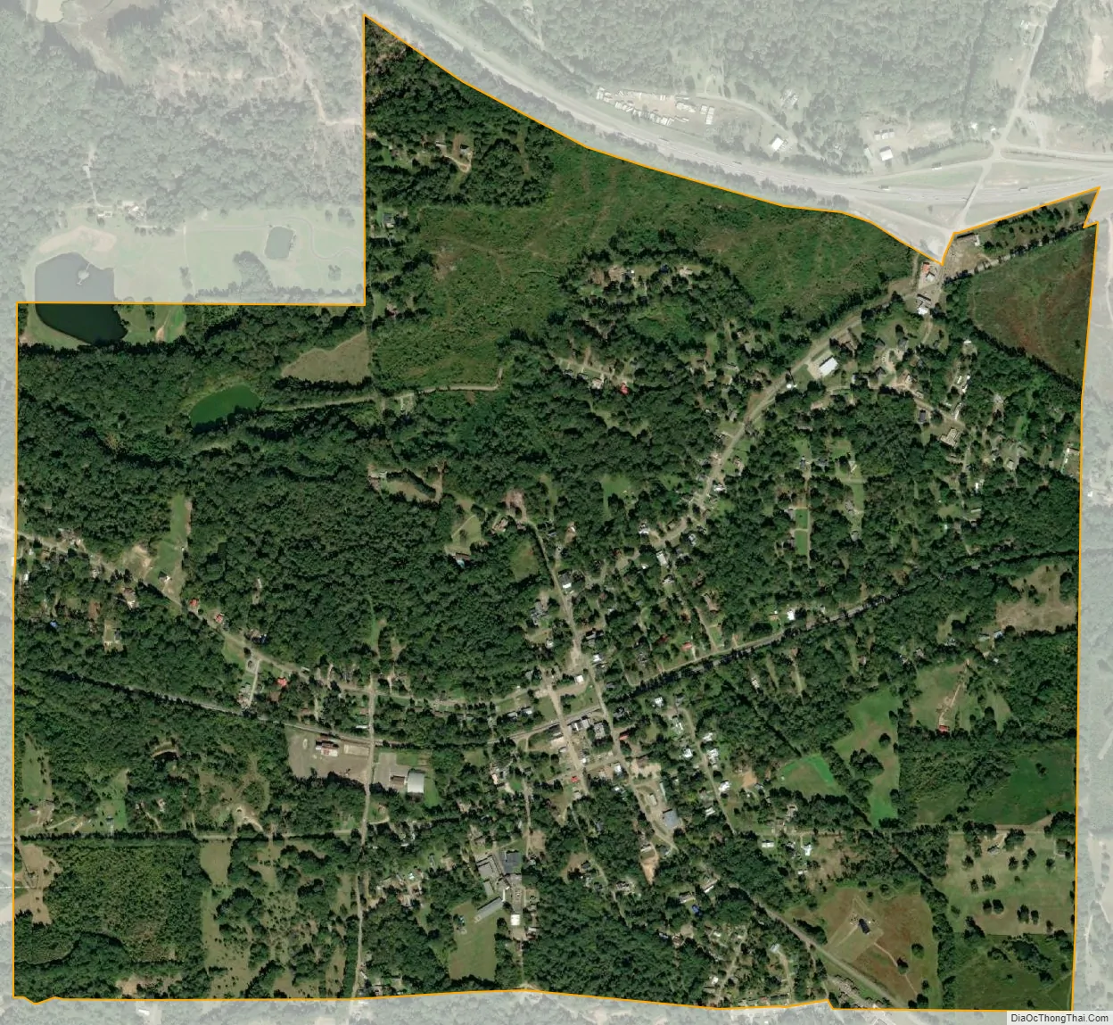
Edwards city Satellite Map
Geography
Edwards is in western Hinds County, on high ground 1.5 miles (2.4 km) east of the Big Black River, which forms the Warren County line. Interstate 20 runs along the northern border of the town, with access from Exit 19. I-20 leads east 26 miles (42 km) to Jackson, the state capital, and west 17 miles (27 km) to Vicksburg.
According to the United States Census Bureau, the town of Edwards has a total area of 1.7 square miles (4.3 km), all land.
See also
Map of Mississippi State and its subdivision:- Adams
- Alcorn
- Amite
- Attala
- Benton
- Bolivar
- Calhoun
- Carroll
- Chickasaw
- Choctaw
- Claiborne
- Clarke
- Clay
- Coahoma
- Copiah
- Covington
- Desoto
- Forrest
- Franklin
- George
- Greene
- Grenada
- Hancock
- Harrison
- Hinds
- Holmes
- Humphreys
- Issaquena
- Itawamba
- Jackson
- Jasper
- Jefferson
- Jefferson Davis
- Jones
- Kemper
- Lafayette
- Lamar
- Lauderdale
- Lawrence
- Leake
- Lee
- Leflore
- Lincoln
- Lowndes
- Madison
- Marion
- Marshall
- Monroe
- Montgomery
- Neshoba
- Newton
- Noxubee
- Oktibbeha
- Panola
- Pearl River
- Perry
- Pike
- Pontotoc
- Prentiss
- Quitman
- Rankin
- Scott
- Sharkey
- Simpson
- Smith
- Stone
- Sunflower
- Tallahatchie
- Tate
- Tippah
- Tishomingo
- Tunica
- Union
- Walthall
- Warren
- Washington
- Wayne
- Webster
- Wilkinson
- Winston
- Yalobusha
- Yazoo
- Alabama
- Alaska
- Arizona
- Arkansas
- California
- Colorado
- Connecticut
- Delaware
- District of Columbia
- Florida
- Georgia
- Hawaii
- Idaho
- Illinois
- Indiana
- Iowa
- Kansas
- Kentucky
- Louisiana
- Maine
- Maryland
- Massachusetts
- Michigan
- Minnesota
- Mississippi
- Missouri
- Montana
- Nebraska
- Nevada
- New Hampshire
- New Jersey
- New Mexico
- New York
- North Carolina
- North Dakota
- Ohio
- Oklahoma
- Oregon
- Pennsylvania
- Rhode Island
- South Carolina
- South Dakota
- Tennessee
- Texas
- Utah
- Vermont
- Virginia
- Washington
- West Virginia
- Wisconsin
- Wyoming