Gulf Hills is an unincorporated community and census-designated place (CDP) in Jackson County, Mississippi, United States. It is part of the Pascagoula Metropolitan Statistical Area. The population was 8,526 at the 2020 census, up from 7,144 at the 2010 census.
| Name: | Gulf Hills CDP |
|---|---|
| LSAD Code: | 57 |
| LSAD Description: | CDP (suffix) |
| State: | Mississippi |
| County: | Jackson County |
| Elevation: | 13 ft (4 m) |
| Total Area: | 8.23 sq mi (21.31 km²) |
| Land Area: | 7.74 sq mi (20.03 km²) |
| Water Area: | 0.49 sq mi (1.27 km²) |
| Total Population: | 8,526 |
| Population Density: | 1,102.26/sq mi (425.57/km²) |
| ZIP code: | 39564 |
| Area code: | 228 |
| FIPS code: | 2829620 |
| GNISfeature ID: | 0670768 |
Online Interactive Map
Click on ![]() to view map in "full screen" mode.
to view map in "full screen" mode.
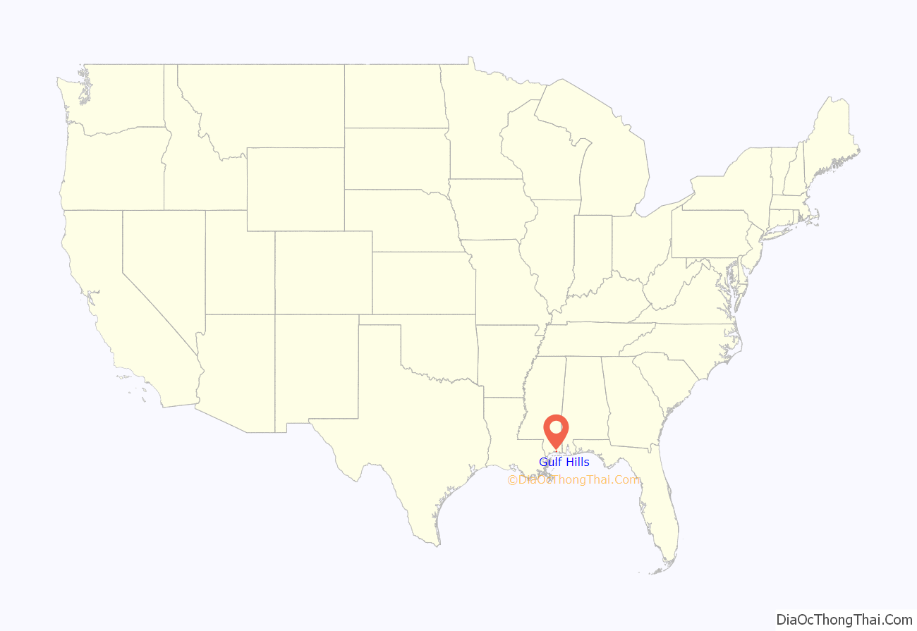
Gulf Hills location map. Where is Gulf Hills CDP?
History
“Bayou Puerto” is the ancestral name for the area that is now Gulf Hills. This small, isolated, primarily Roman Catholic settlement came into existence in the mid-19th century, and encompassed for the most part the south half of Section 12, all of Section 13, the east half of Section 14, and the northeast quarter of Section 24, all of T7S-R9W, Jackson County, Mississippi.
The majority of the people of the Bayou Puerto sector made their livelihoods from the sea and forest. The sea provided fish, crustaceans, and mollusks, as well as the medium for travel and trade. Sylvan dwellers cut timber and light wood and made charcoal. Agriculturally, there were some citrus orchards and viticulture, but large traditional farms were nonexistence. Families cultivated vegetable gardens to supplement their high protein diet consisting primarily of seafood, fowl, and game.
After 1900, there was a marked decrease in charcoal making. Virtually every male resident of Bayou Puerto in 1900 was employed in the seafood industry. Only a few Blacks were still producing charcoal, probably for local consumption.
Slavery
Slavery in the Bayou Puerto area was almost nil, as most of the inhabitants existed at the subsistence level.
Civil War
No Union incursions occurred in the Bayou Puerto section, nor are there any records of Federal occupation here during the Civil War. Some of the men left the safety and seclusion of their homes to fight for the Confederate States of America.
Millionaires’ playground
An event which permanently changed the history and culture of Bayou-Puerto and St. Martin occurred as a result of the land boom of the mid-1920s. A group of investors from Chicago and New York enamored with the natural beauty, temperate climate, and proximity via rail to the “snow birds” of the Midwest, chose an area in eastern St. Martin along and at the mouth of Old Fort Bayou and Bayou Puerto, to build a winter resort. It was called “Gulf Hills” because small tributaries and intermittent streams flowing into Old Fort Bayou and Bayou Puerto have dissected the topography in the area.
Harvey W. Braniger (1875–1953), a native of Morning Sun, Iowa, and developer of Ivanhoe at Chicago, is generally considered the founder of Gulf Hills. A charter of incorporation was issued for Gulf Hills by the state of Mississippi on September 15, 1925.
The Chicago developers envisioned selling 3-acre (12,000 m) homesites to wealthy northerners who would come to escape winter’s cold blasts, then peacefully retire here.
The Branigars hosted a gala with the early January 1927 opening of Gulf Hills on the No. 1 tee. Billed as the golf city of the Gulf Coast, Gulf Hills covered 667 acres (2.7 km), with 249 of them dedicated as fairways, parks, playgrounds and waterways. Of the 10 miles (16 km) of narrow roadways, four of them were waterfront and seven were on the golf course.
The Depression put the skids to the program. By the end of World War II, there were only 40 homes. By the 1950s, homes were being built again in Gulf Hills. Activity heightened in the 1960s and continued into the 1980s.
The Gulf Hills Inn was revitalized by renaming it Gulf Hills Dude Ranch and creating a western atmosphere. Gulf Hills became a popular place with nationwide recognition. Stars like Judy Garland, Elvis Presley and honeymooning Mary Ann Mobley and Gary Collins adopted the resort as a retreat. Until the 1970s, Mafia bosses would annually gather for business and pleasure. They were so unobtrusive and looked like other golfing businessmen that few people realized they were there.
Presently most people live in Gulf Hills year round, and a diverse group now occupies this once resort community.
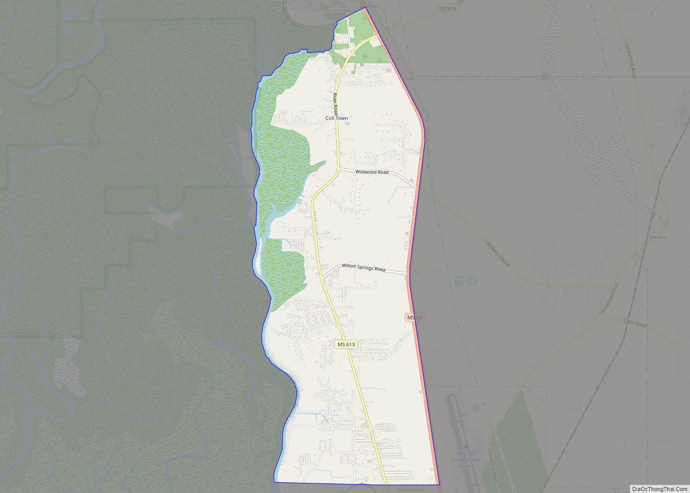
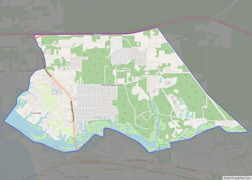
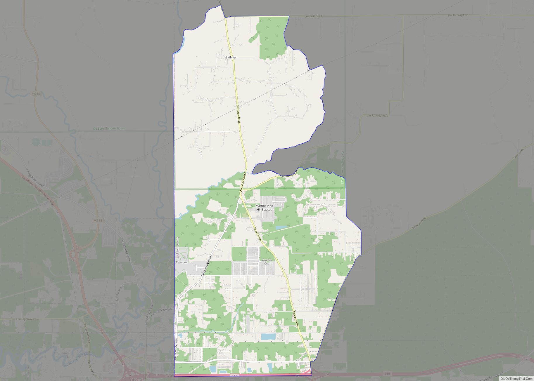
Gulf Hills Road Map
Gulf Hills city Satellite Map
Geography
Gulf Hills is located along the Mississippi Gulf Coast at 30°26′3″N 88°49′33″W / 30.43417°N 88.82583°W / 30.43417; -88.82583 (30.434065, -88.825794), just south of Interstate 10. It is bordered by St. Martin (a census-designated place) to the west, Latimer (a census-designated place) to the north and the city of Ocean Springs to the south. Pascagoula is 18 miles (29 km) to the southeast via U.S. Route 90, and Biloxi is 6 miles (10 km) to the southwest, across Biloxi Bay.
According to the United States Census Bureau, the Gulf Hills CDP has a total area of 8.1 square miles (21.1 km), of which 7.6 square miles (19.8 km) are land and 0.50 square miles (1.3 km), or 6.03%, are water.
The terrain in the Bayou Porteaux region is relatively high considering its proximity to the Gulf of Mexico. Elevations range from sea level to 25 feet (7.6 m) above sea level. The area of interest lies south of the Big Ridge escarpment, on the western terminus of an east-west striking coastal ridge, which is sub-parallel to the Big Ridge. Here small bayous and streams have dissected the topography with steep ravines to create a “hilly” terrain. Reconnaissance, surface and geologic investigations indicate that alluvial-fluvial deposits of the Late Pleistocene Prairie Formation are exposed in the higher areas of the Bayou Porteaux-Gulf Hills section.
See also
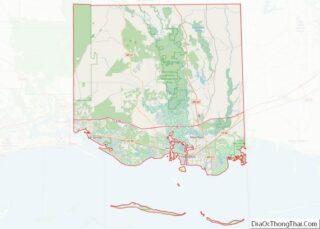
Map of Mississippi State and its subdivision:- Adams
- Alcorn
- Amite
- Attala
- Benton
- Bolivar
- Calhoun
- Carroll
- Chickasaw
- Choctaw
- Claiborne
- Clarke
- Clay
- Coahoma
- Copiah
- Covington
- Desoto
- Forrest
- Franklin
- George
- Greene
- Grenada
- Hancock
- Harrison
- Hinds
- Holmes
- Humphreys
- Issaquena
- Itawamba
- Jackson
- Jasper
- Jefferson
- Jefferson Davis
- Jones
- Kemper
- Lafayette
- Lamar
- Lauderdale
- Lawrence
- Leake
- Lee
- Leflore
- Lincoln
- Lowndes
- Madison
- Marion
- Marshall
- Monroe
- Montgomery
- Neshoba
- Newton
- Noxubee
- Oktibbeha
- Panola
- Pearl River
- Perry
- Pike
- Pontotoc
- Prentiss
- Quitman
- Rankin
- Scott
- Sharkey
- Simpson
- Smith
- Stone
- Sunflower
- Tallahatchie
- Tate
- Tippah
- Tishomingo
- Tunica
- Union
- Walthall
- Warren
- Washington
- Wayne
- Webster
- Wilkinson
- Winston
- Yalobusha
- Yazoo
- Alabama
- Alaska
- Arizona
- Arkansas
- California
- Colorado
- Connecticut
- Delaware
- District of Columbia
- Florida
- Georgia
- Hawaii
- Idaho
- Illinois
- Indiana
- Iowa
- Kansas
- Kentucky
- Louisiana
- Maine
- Maryland
- Massachusetts
- Michigan
- Minnesota
- Mississippi
- Missouri
- Montana
- Nebraska
- Nevada
- New Hampshire
- New Jersey
- New Mexico
- New York
- North Carolina
- North Dakota
- Ohio
- Oklahoma
- Oregon
- Pennsylvania
- Rhode Island
- South Carolina
- South Dakota
- Tennessee
- Texas
- Utah
- Vermont
- Virginia
- Washington
- West Virginia
- Wisconsin
- Wyoming
