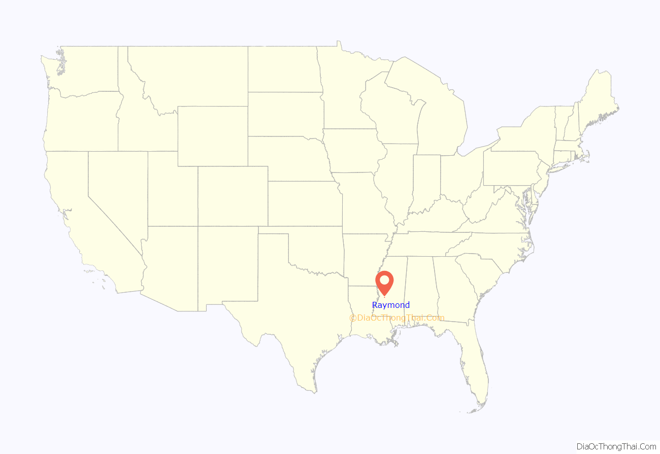
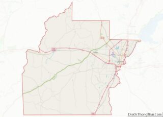
Raymond is a city in Hinds County, Mississippi, United States. As of the 2010 census, the city population was 1,933; in 2020, its population was 1,960. Raymond is one of two county seats of Hinds County (along with Jackson) and is the home of the main campus of Hinds Community College. Raymond is part of the Jackson metropolitan statistical area.
| Name: | Raymond city |
|---|---|
| LSAD Code: | 25 |
| LSAD Description: | city (suffix) |
| State: | Mississippi |
| County: | Hinds County |
| Elevation: | 322 ft (98 m) |
| Total Area: | 2.88 sq mi (7.46 km²) |
| Land Area: | 2.88 sq mi (7.46 km²) |
| Water Area: | 0.00 sq mi (0.00 km²) |
| Total Population: | 1,960 |
| Population Density: | 680.32/sq mi (262.69/km²) |
| ZIP code: | 39154 |
| Area code: | 601/769 |
| FIPS code: | 2861160 |
| GNISfeature ID: | 0676505 |
Online Interactive Map
Click on ![]() to view map in "full screen" mode.
to view map in "full screen" mode.
Raymond location map. Where is Raymond city?
History
In 1829, three commissioners, including John B. Peyton, were appointed by U.S. President Andrew Jackson to find a place near the center of Hinds County for the county seat. The current location of Raymond is a ridge about a mile from the center of the county, and was selected because the actual center was low and subject to flooding. The town of Raymond received its charter from the Mississippi legislature on December 15, 1830. Because of its status as a seat of justice and its proximity to the Natchez Trace, Raymond developed quickly into a prosperous small town whose prosperity and small size have continued to this day.
In the late 1840s, Cooper’s Well, a property near Raymond with a well that provided sulphured water, was developed into a resort for those seeking the perceived health benefits from its ingestion.
Construction of a new county courthouse was begun at the center of the town square in 1857 and completed in 1859; the work was largely done by enslaved African Americans. The courthouse is still in use as a secondary location of county legal matters (the city of Jackson having become the primary county seat). The Raymond courthouse is considered by many to be a prime example of southern Greek Revival architecture.
The Battle of Raymond was fought by Confederate and Union soldiers near Raymond on May 12, 1863 as part of General Ulysses S. Grant’s Vicksburg Campaign during the Civil War. Four days later, the pivotal Battle of Champion Hill was won by Grant’s troops and sealed the fate of Vicksburg. Grant stayed at Waverly, the plantation of John B. Peyton, and Union soldiers used St. Mark’s Episcopal Church as a hospital. Blood stains can still be seen on the church’s floor from that period.
Construction of a water tower was begun in 1903 in the center of the town square. It and the courthouse are landmarks for the town. A small agricultural high school was opened in 1917; it developed as Hinds Community College, which has several sites and the largest student body of any college in the state.
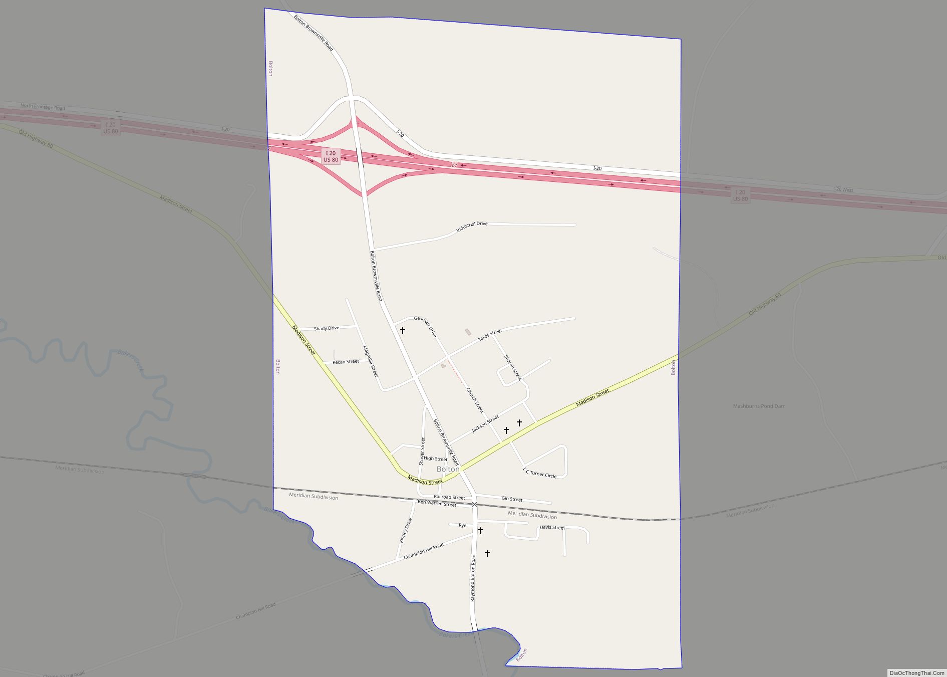
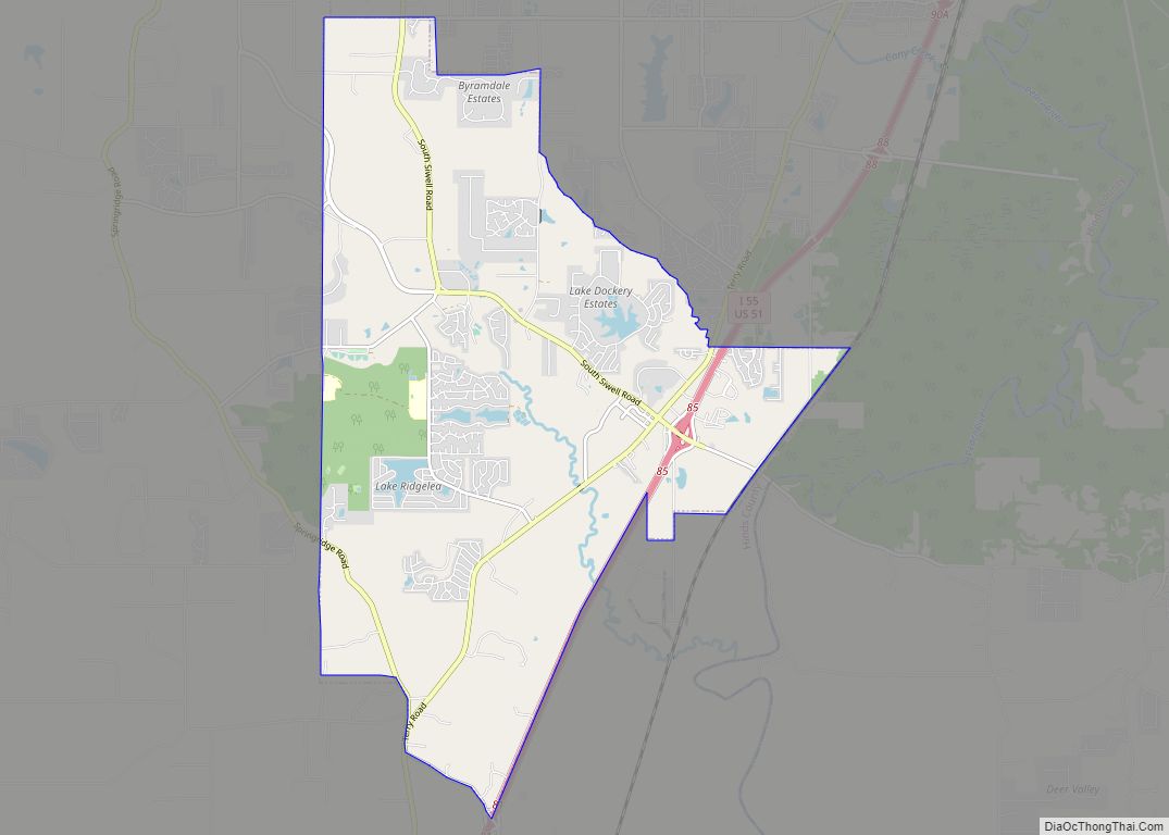
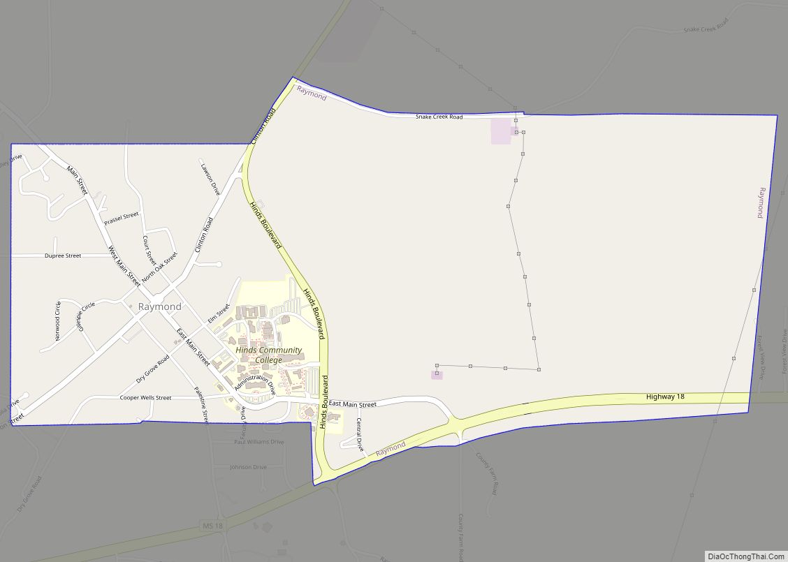
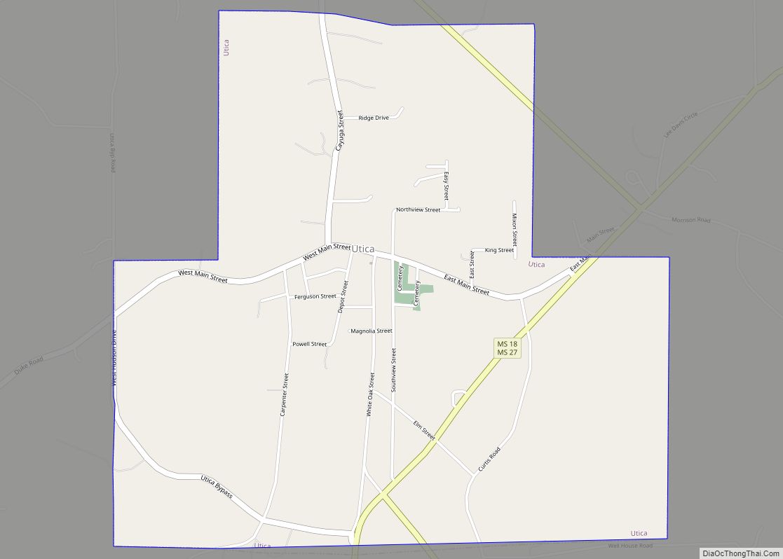
Raymond Road Map
Raymond city Satellite Map
Geography
According to the United States Census Bureau, the city has a total area of 3.0 square miles (7.8 km), all land.
See also
Map of Mississippi State and its subdivision:- Adams
- Alcorn
- Amite
- Attala
- Benton
- Bolivar
- Calhoun
- Carroll
- Chickasaw
- Choctaw
- Claiborne
- Clarke
- Clay
- Coahoma
- Copiah
- Covington
- Desoto
- Forrest
- Franklin
- George
- Greene
- Grenada
- Hancock
- Harrison
- Hinds
- Holmes
- Humphreys
- Issaquena
- Itawamba
- Jackson
- Jasper
- Jefferson
- Jefferson Davis
- Jones
- Kemper
- Lafayette
- Lamar
- Lauderdale
- Lawrence
- Leake
- Lee
- Leflore
- Lincoln
- Lowndes
- Madison
- Marion
- Marshall
- Monroe
- Montgomery
- Neshoba
- Newton
- Noxubee
- Oktibbeha
- Panola
- Pearl River
- Perry
- Pike
- Pontotoc
- Prentiss
- Quitman
- Rankin
- Scott
- Sharkey
- Simpson
- Smith
- Stone
- Sunflower
- Tallahatchie
- Tate
- Tippah
- Tishomingo
- Tunica
- Union
- Walthall
- Warren
- Washington
- Wayne
- Webster
- Wilkinson
- Winston
- Yalobusha
- Yazoo
- Alabama
- Alaska
- Arizona
- Arkansas
- California
- Colorado
- Connecticut
- Delaware
- District of Columbia
- Florida
- Georgia
- Hawaii
- Idaho
- Illinois
- Indiana
- Iowa
- Kansas
- Kentucky
- Louisiana
- Maine
- Maryland
- Massachusetts
- Michigan
- Minnesota
- Mississippi
- Missouri
- Montana
- Nebraska
- Nevada
- New Hampshire
- New Jersey
- New Mexico
- New York
- North Carolina
- North Dakota
- Ohio
- Oklahoma
- Oregon
- Pennsylvania
- Rhode Island
- South Carolina
- South Dakota
- Tennessee
- Texas
- Utah
- Vermont
- Virginia
- Washington
- West Virginia
- Wisconsin
- Wyoming
