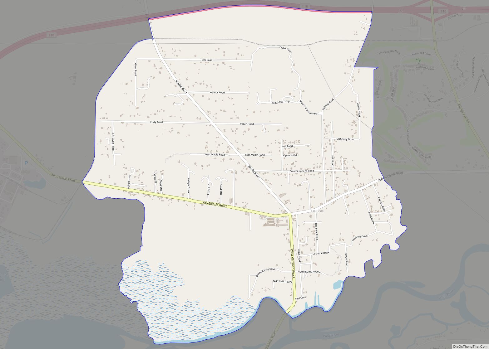
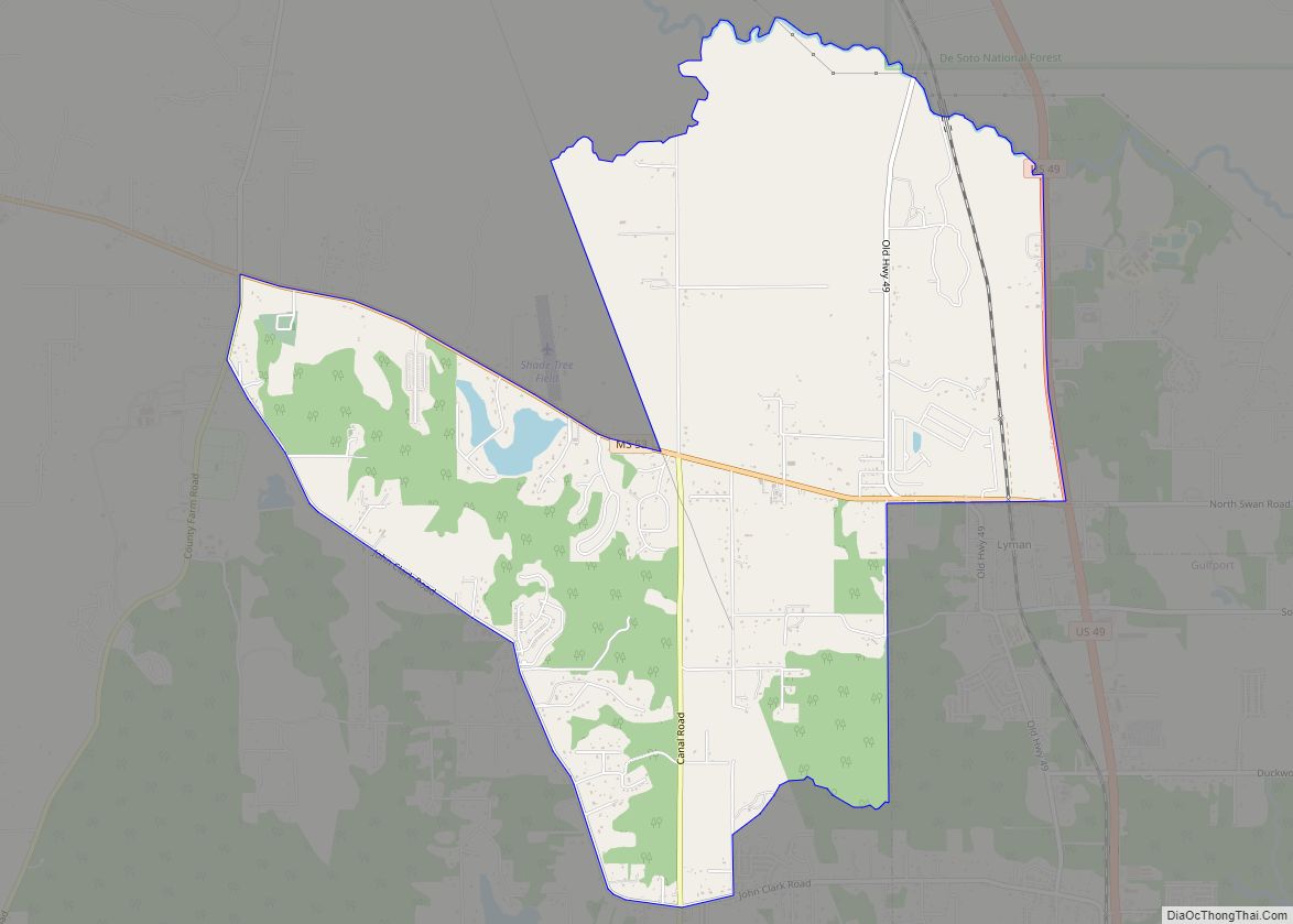
Saucier is a census-designated place (CDP) in Harrison County, Mississippi, United States. It is part of the Gulfport–Biloxi Metropolitan Statistical Area. The population was 1,342 at the 2010 census.
| Name: | Saucier CDP |
|---|---|
| LSAD Code: | 57 |
| LSAD Description: | CDP (suffix) |
| State: | Mississippi |
| County: | Harrison County |
| Elevation: | 161 ft (49 m) |
| Total Area: | 7.05 sq mi (18.26 km²) |
| Land Area: | 6.94 sq mi (17.98 km²) |
| Water Area: | 0.11 sq mi (0.28 km²) |
| Total Population: | 1,077 |
| Population Density: | 155.19/sq mi (59.92/km²) |
| ZIP code: | 39574 |
| Area code: | 228 |
| FIPS code: | 2865720 |
| GNISfeature ID: | 0694718 |
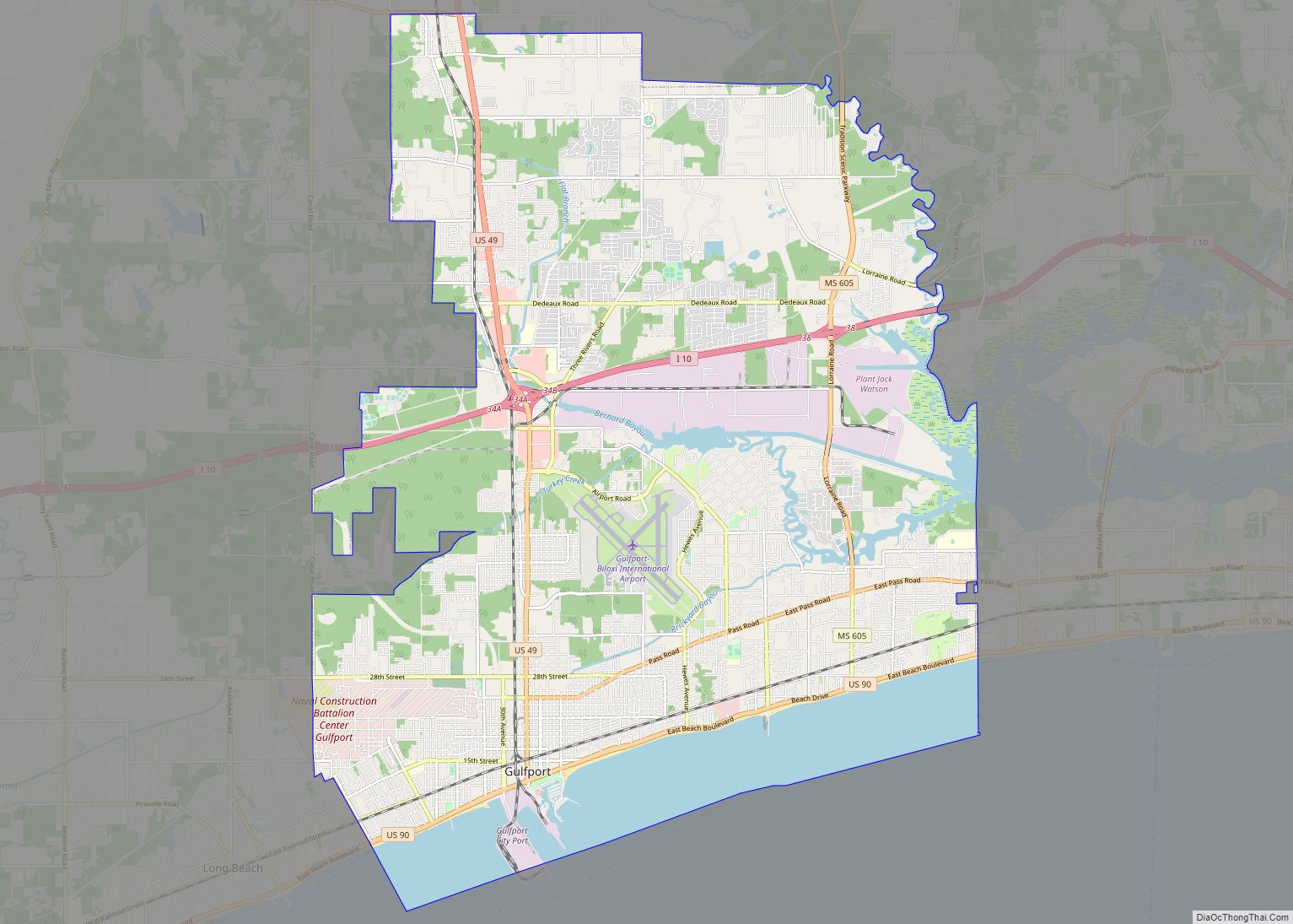
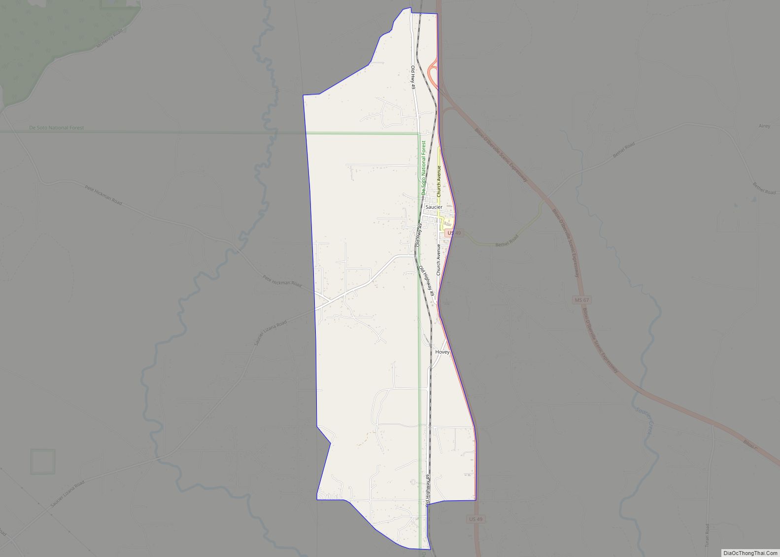
Online Interactive Map
Click on ![]() to view map in "full screen" mode.
to view map in "full screen" mode.
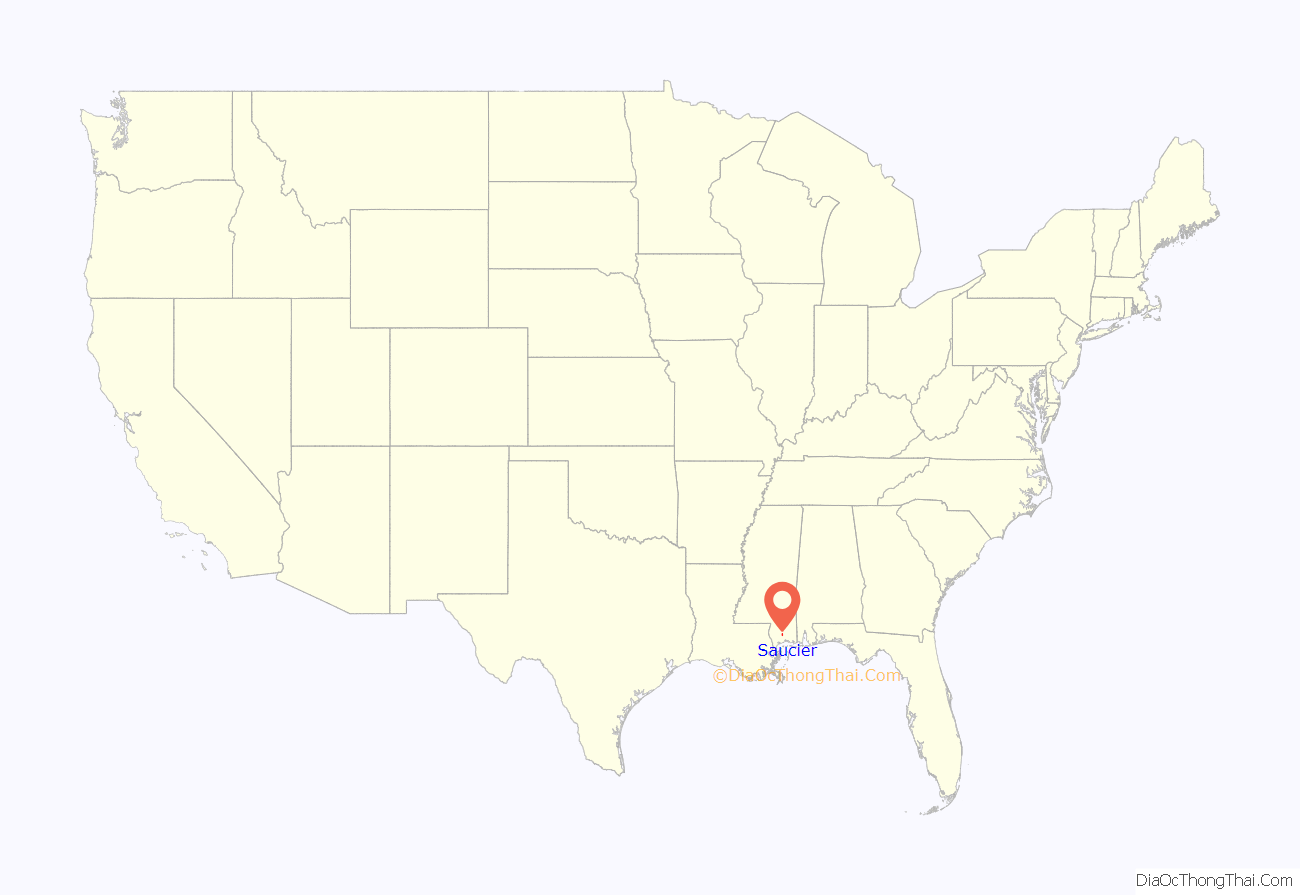
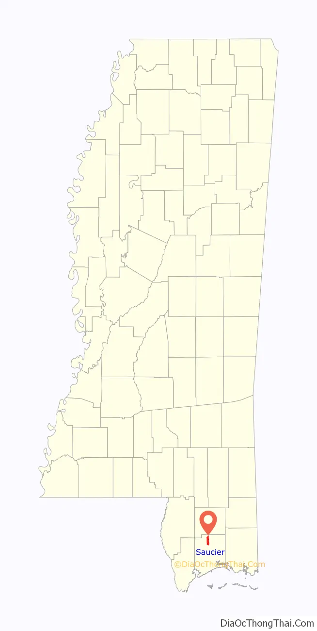
Saucier location map. Where is Saucier CDP?
History
Saucier is located on the Kansas City Southern Railway and was once home to a sawmill, drugstore, confectionery store, and five general stores.
A post office first began operation under the name Saucier in 1893.
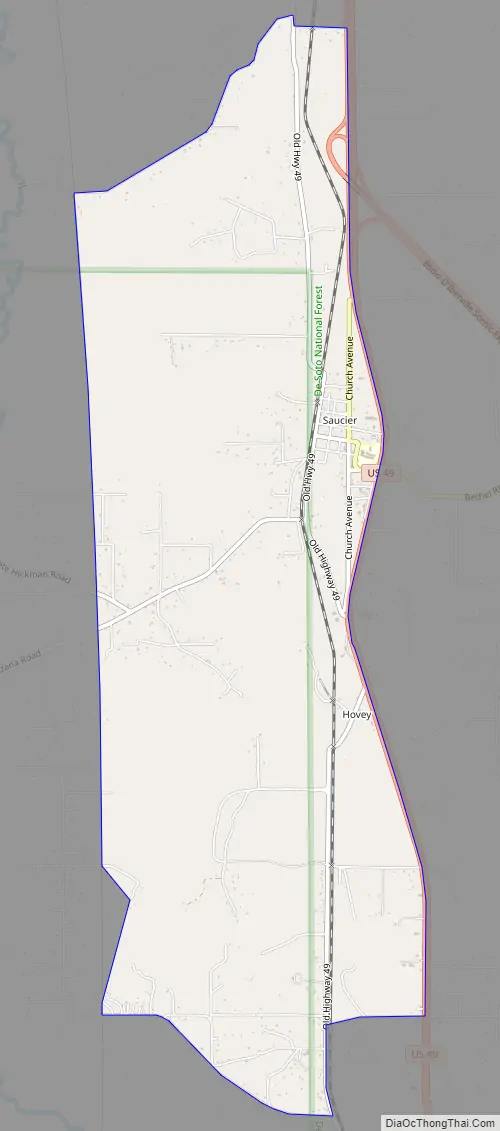
Saucier Road Map
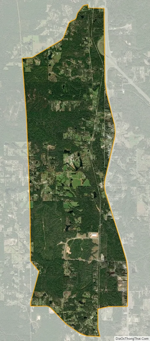
Saucier city Satellite Map
Geography
Saucier is located at 30°37′30″N 89°8′18″W / 30.62500°N 89.13833°W / 30.62500; -89.13833 (30.625130, -89.138438).
According to the United States Census Bureau, the CDP has a total area of 7.1 square miles (18 km), of which 7.0 square miles (18 km) is land and 0.1 square miles (0.26 km) (0.85%) is water.
See also
Map of Mississippi State and its subdivision:- Adams
- Alcorn
- Amite
- Attala
- Benton
- Bolivar
- Calhoun
- Carroll
- Chickasaw
- Choctaw
- Claiborne
- Clarke
- Clay
- Coahoma
- Copiah
- Covington
- Desoto
- Forrest
- Franklin
- George
- Greene
- Grenada
- Hancock
- Harrison
- Hinds
- Holmes
- Humphreys
- Issaquena
- Itawamba
- Jackson
- Jasper
- Jefferson
- Jefferson Davis
- Jones
- Kemper
- Lafayette
- Lamar
- Lauderdale
- Lawrence
- Leake
- Lee
- Leflore
- Lincoln
- Lowndes
- Madison
- Marion
- Marshall
- Monroe
- Montgomery
- Neshoba
- Newton
- Noxubee
- Oktibbeha
- Panola
- Pearl River
- Perry
- Pike
- Pontotoc
- Prentiss
- Quitman
- Rankin
- Scott
- Sharkey
- Simpson
- Smith
- Stone
- Sunflower
- Tallahatchie
- Tate
- Tippah
- Tishomingo
- Tunica
- Union
- Walthall
- Warren
- Washington
- Wayne
- Webster
- Wilkinson
- Winston
- Yalobusha
- Yazoo
- Alabama
- Alaska
- Arizona
- Arkansas
- California
- Colorado
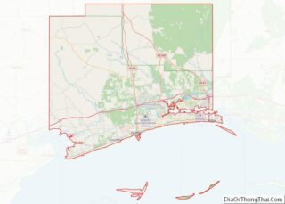
- Connecticut
- Delaware
- District of Columbia
- Florida
- Georgia
- Hawaii
- Idaho
- Illinois
- Indiana
- Iowa
- Kansas
- Kentucky
- Louisiana
- Maine
- Maryland
- Massachusetts
- Michigan
- Minnesota
- Mississippi
- Missouri
- Montana
- Nebraska
- Nevada
- New Hampshire
- New Jersey
- New Mexico
- New York
- North Carolina
- North Dakota
- Ohio
- Oklahoma
- Oregon
- Pennsylvania
- Rhode Island
- South Carolina
- South Dakota
- Tennessee
- Texas
- Utah
- Vermont
- Virginia
- Washington
- West Virginia
- Wisconsin
- Wyoming