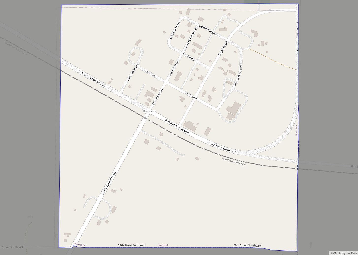
Braddock is a city in Emmons County, North Dakota, United States. The population was 18 at the 2020 census. Braddock was founded in 1898.
| Name: | Braddock city |
|---|---|
| LSAD Code: | 25 |
| LSAD Description: | city (suffix) |
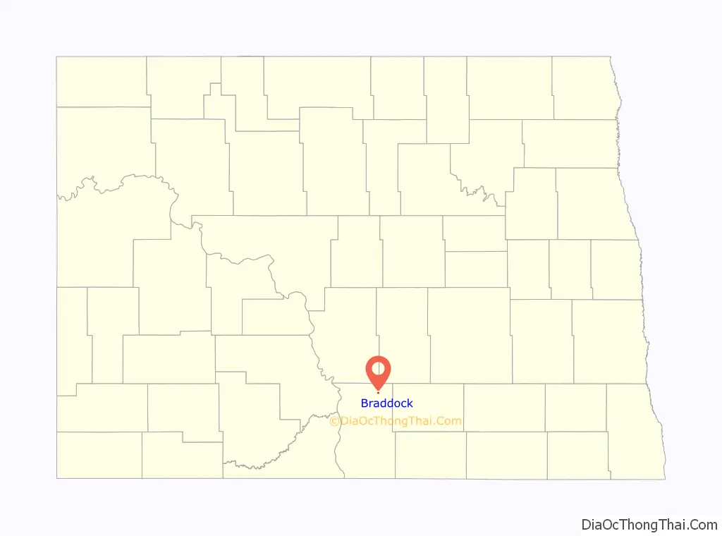
| State: | North Dakota |
| County: | Emmons County |
| Founded: | 1898 |
| Elevation: | 1,864 ft (568 m) |
| Total Area: | 0.25 sq mi (0.65 km²) |
| Land Area: | 0.25 sq mi (0.65 km²) |
| Water Area: | 0.00 sq mi (0.00 km²) |
| Total Population: | 18 |
| Population Density: | 72.00/sq mi (27.80/km²) |
| ZIP code: | 58524 |
| Area code: | 701 |
| FIPS code: | 3808900 |
| GNISfeature ID: | 1028108 |
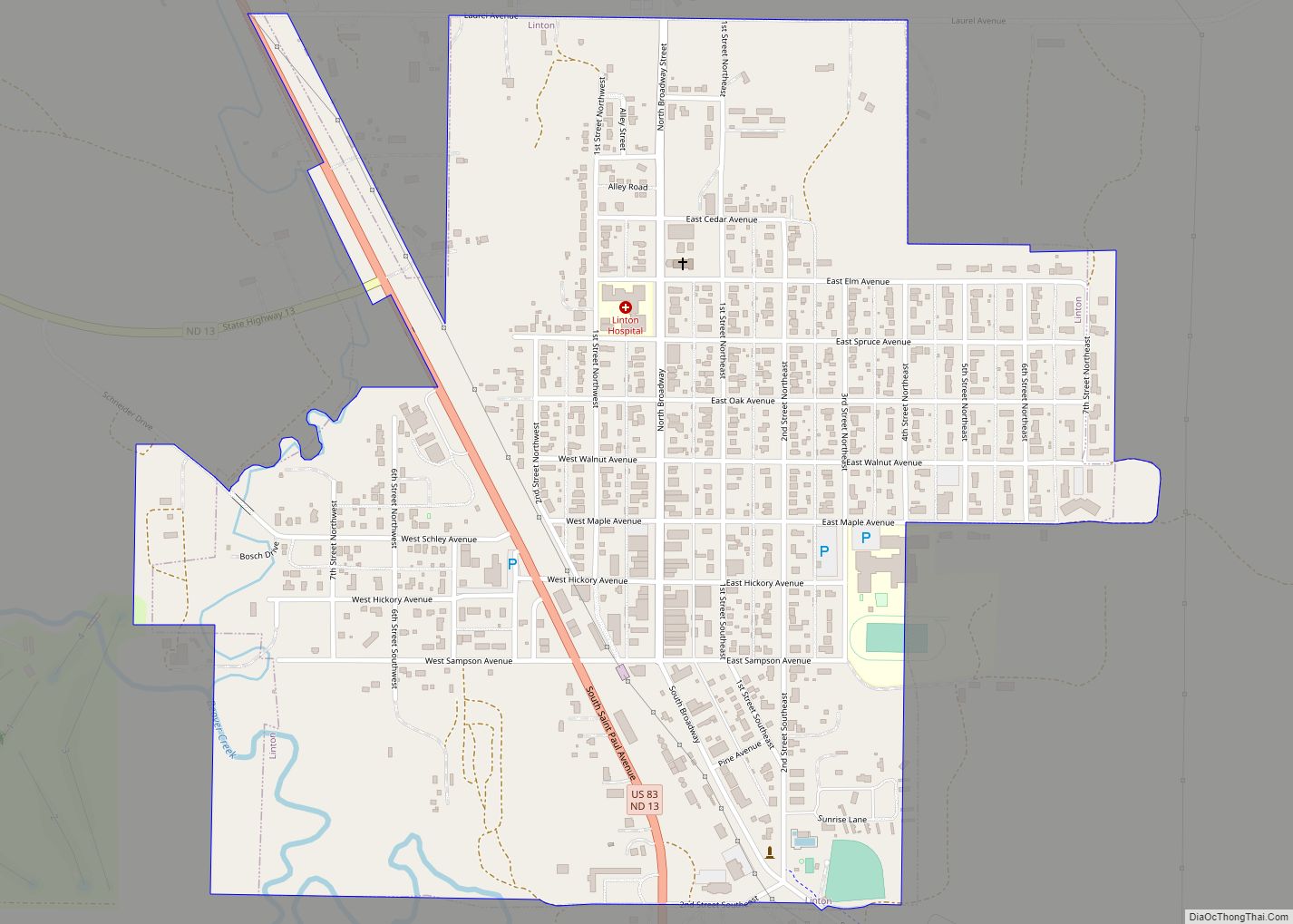
Online Interactive Map
Click on ![]() to view map in "full screen" mode.
to view map in "full screen" mode.
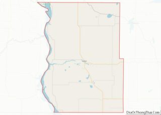
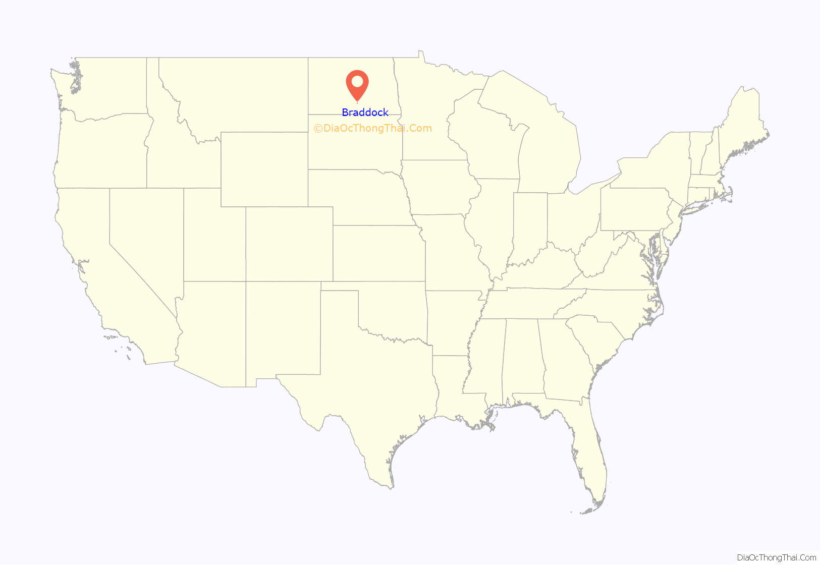
Braddock location map. Where is Braddock city?
History
Braddock, the oldest existing town in Emmons County, located in Section 27 of Township 126 North, Range 75 West, of the Fifth Principal Meridian, was established as the first railroad town in the county in the Fall of 1898. The town was named by Frederick Underwood, President of the Soo RR, in honor of Edward Braddock, County Auditor. In 1914 a vote to incorporate Braddock as a village was defeated, but was later passed on October 24, 1916.
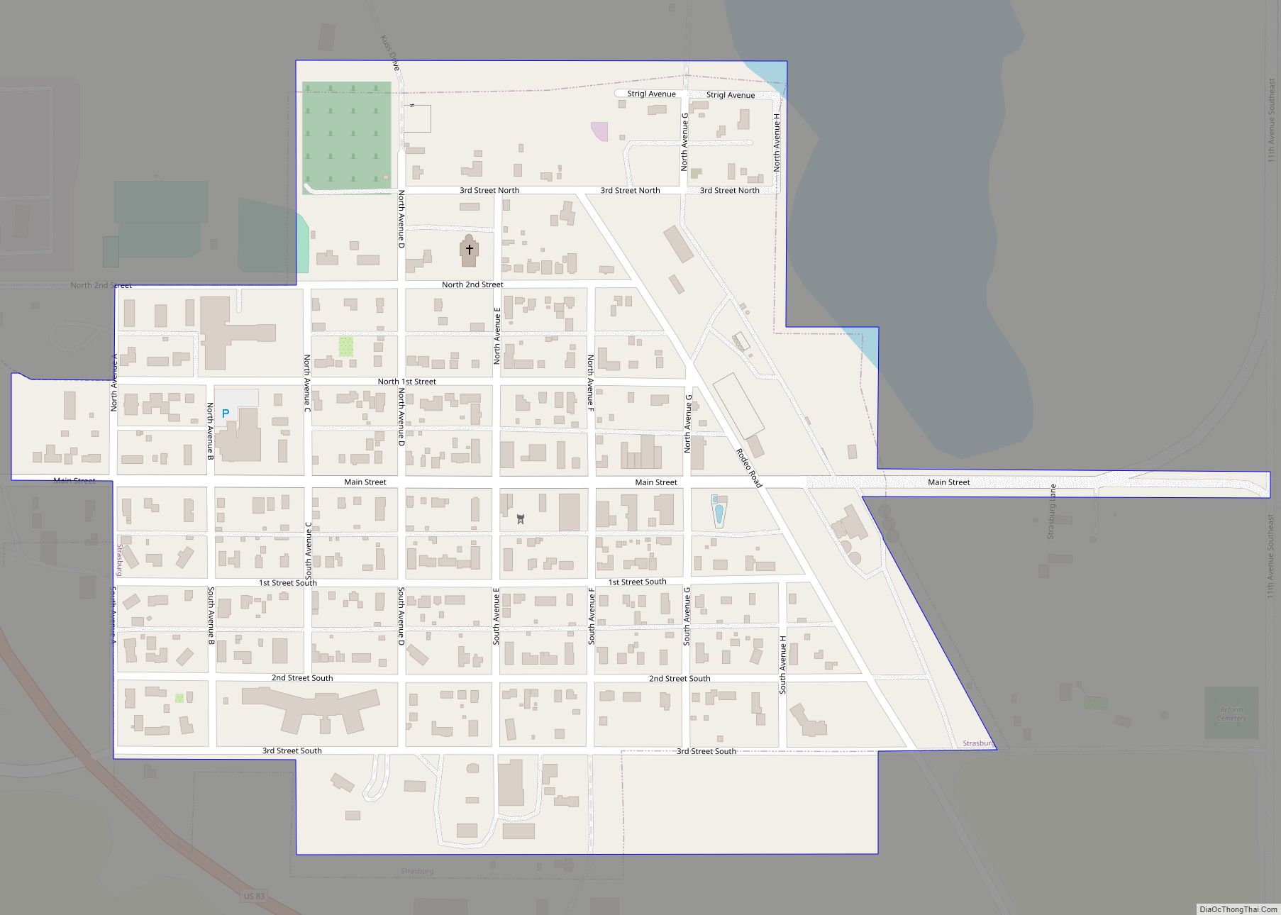
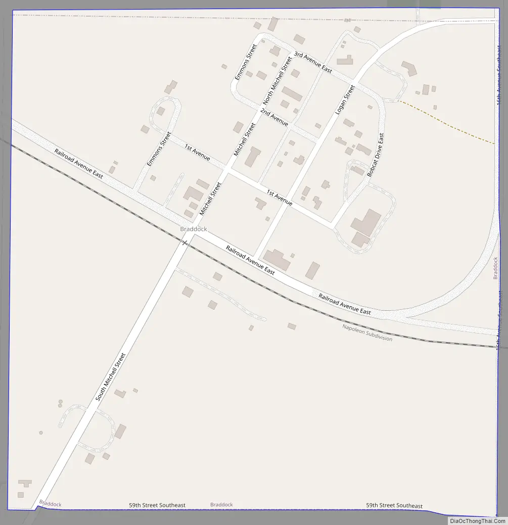
Braddock Road Map
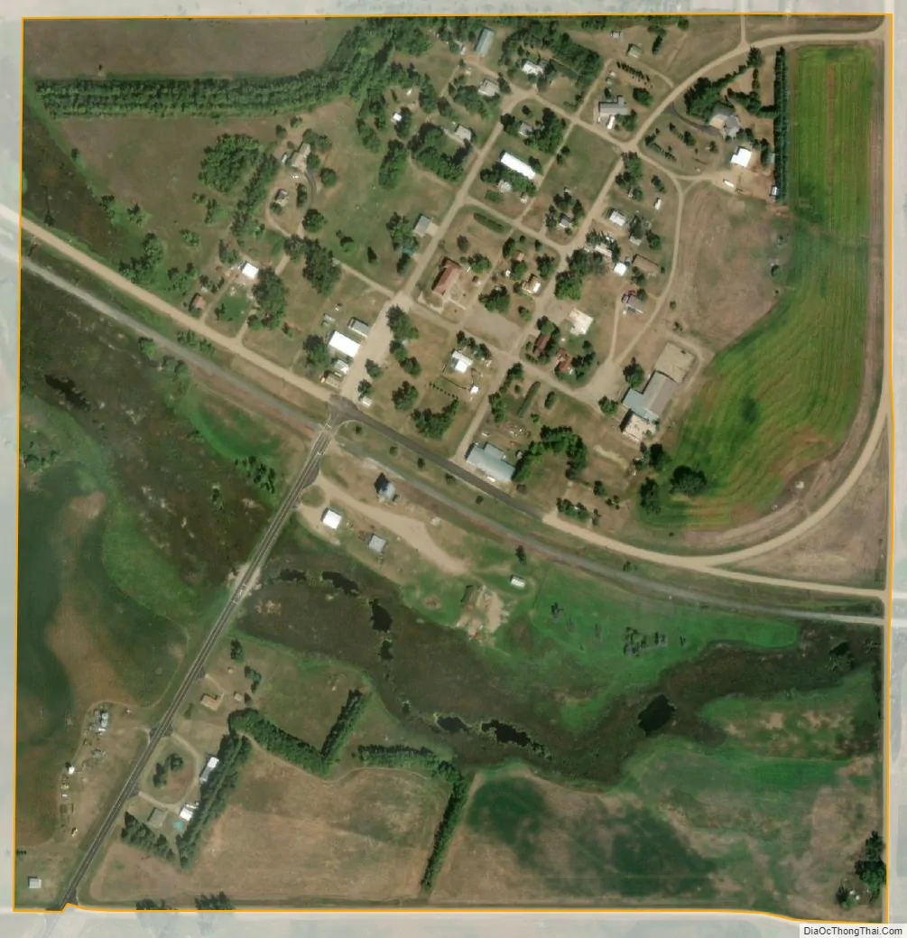
Braddock city Satellite Map
Geography
Braddock is located at 46°33′56″N 100°5′21″W / 46.56556°N 100.08917°W / 46.56556; -100.08917 (46.57, -100.09).
According to the United States Census Bureau, the city has a total area of 0.25 square miles (0.65 km), all land.
See also
Map of North Dakota State and its subdivision:- Adams
- Barnes
- Benson
- Billings
- Bottineau
- Bowman
- Burke
- Burleigh
- Cass
- Cavalier
- Dickey
- Divide
- Dunn
- Eddy
- Emmons
- Foster
- Golden Valley
- Grand Forks
- Grant
- Griggs
- Hettinger
- Kidder
- Lamoure
- Logan
- McHenry
- McIntosh
- McKenzie
- McLean
- Mercer
- Morton
- Mountrail
- Nelson
- Oliver
- Pembina
- Pierce
- Ramsey
- Ransom
- Renville
- Richland
- Rolette
- Sargent
- Sheridan
- Sioux
- Slope
- Stark
- Steele
- Stutsman
- Towner
- Traill
- Walsh
- Ward
- Wells
- Williams
- Alabama
- Alaska
- Arizona
- Arkansas
- California
- Colorado
- Connecticut
- Delaware
- District of Columbia
- Florida
- Georgia
- Hawaii
- Idaho
- Illinois
- Indiana
- Iowa
- Kansas
- Kentucky
- Louisiana
- Maine
- Maryland
- Massachusetts
- Michigan
- Minnesota
- Mississippi
- Missouri
- Montana
- Nebraska
- Nevada
- New Hampshire
- New Jersey
- New Mexico
- New York
- North Carolina
- North Dakota
- Ohio
- Oklahoma
- Oregon
- Pennsylvania
- Rhode Island
- South Carolina
- South Dakota
- Tennessee
- Texas
- Utah
- Vermont
- Virginia
- Washington
- West Virginia
- Wisconsin
- Wyoming