Oradell is a borough in Bergen County, in the U.S. state of New Jersey. As of the 2020 United States census, the borough’s population was 8,244, an increase of 266 (+3.3%) from the 2010 census count of 7,978, which in turn reflected a decline of 69 (-0.9%) from the 8,047 counted in the 2000 census. The borough includes a dam on the Hackensack River that forms the Oradell Reservoir. Oradell is a suburb of New York City, located approximately 15 miles (24 km) northwest of Midtown Manhattan.
Oradell was originally formed on March 8, 1894, as the borough of Delford, from portions of Harrington Township, Midland Township (now Rochelle Park) and Palisades Township. The borough was formed during the “Boroughitis” phenomenon then sweeping through Bergen County, in which 26 boroughs were formed in the county in 1894 alone. The name “Delford” was a portmanteau created from the names of two communities within the new borough: Oradell and New Milford. The Hotel Delford had been constructed in 1870 after the construction of the first railroad to reach the area. On November 12, 1920, the borough’s name was officially changed to “Oradell”, based on the results of a referendum held ten days earlier. Oradell derives its name from “ora” (Latin for “edge”) and “dell”.
New Jersey Monthly ranked Oradell as the 68th best place to live in New Jersey in its 2010 rankings of the “Top Towns” in the state. This ranking also makes the borough the seventh best place to live in Bergen County.
New Jersey Family, a resource for New Jersey parents, ranked Oradell the winner of “New Jersey’s Best Towns for Families 2016”.
| Name: | Oradell borough |
|---|---|
| LSAD Code: | 21 |
| LSAD Description: | borough (suffix) |
| State: | New Jersey |
| County: | Bergen County |
| Incorporated: | March 8, 1894 as Delford |
| Elevation: | 39 ft (12 m) |
| Total Area: | 2.57 sq mi (6.65 km²) |
| Land Area: | 2.41 sq mi (6.25 km²) |
| Water Area: | 0.16 sq mi (0.40 km²) 6.07% |
| Total Population: | 8,244 |
| Population Density: | 3,419.3/sq mi (1,320.2/km²) |
| ZIP code: | 07649 |
| Area code: | 201 |
| FIPS code: | 3454990 |
| GNISfeature ID: | 0885337 |
| Website: | www.oradell.org |
Online Interactive Map
Click on ![]() to view map in "full screen" mode.
to view map in "full screen" mode.
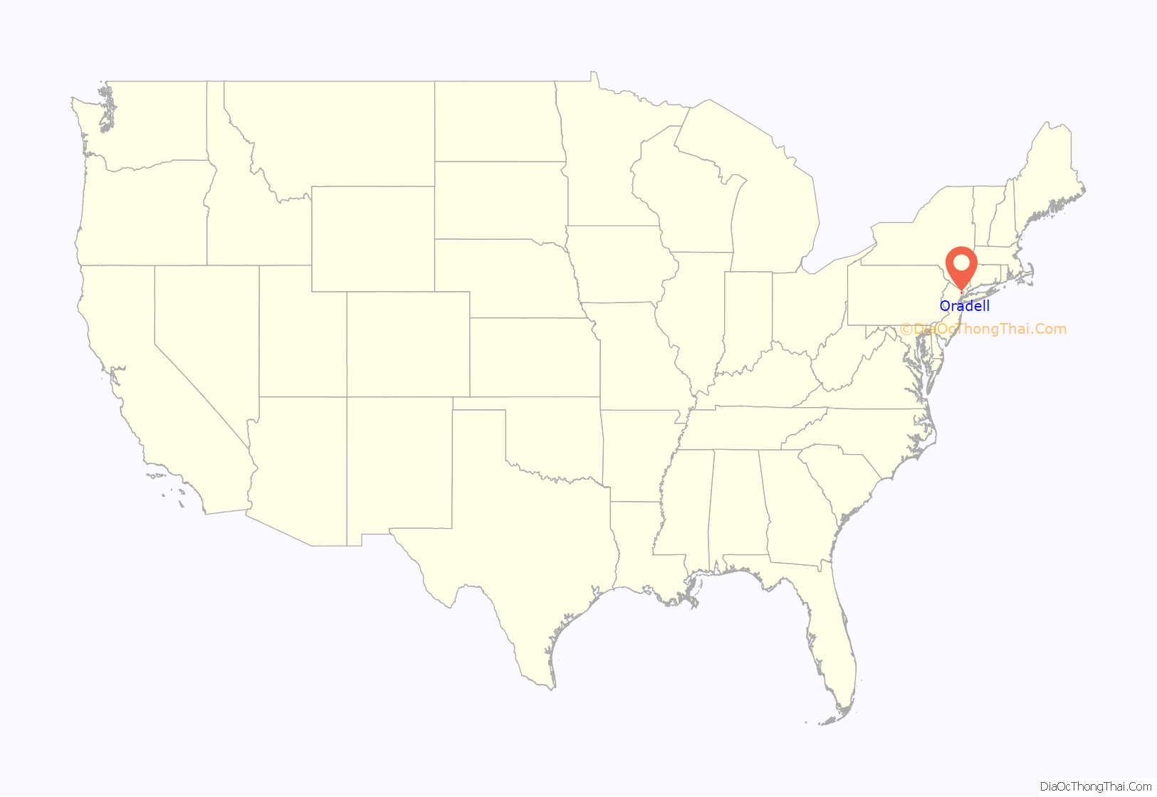
Oradell location map. Where is Oradell borough?
Oradell Road Map
Oradell city Satellite Map
Geography
According to the United States Census Bureau, the borough had a total area of 2.57 square miles (6.65 km), including 2.41 square miles (6.25 km) of land and 0.16 square miles (0.40 km) of water (6.07%).
Unincorporated communities, localities and place names located partially or completely within the borough include Delford.
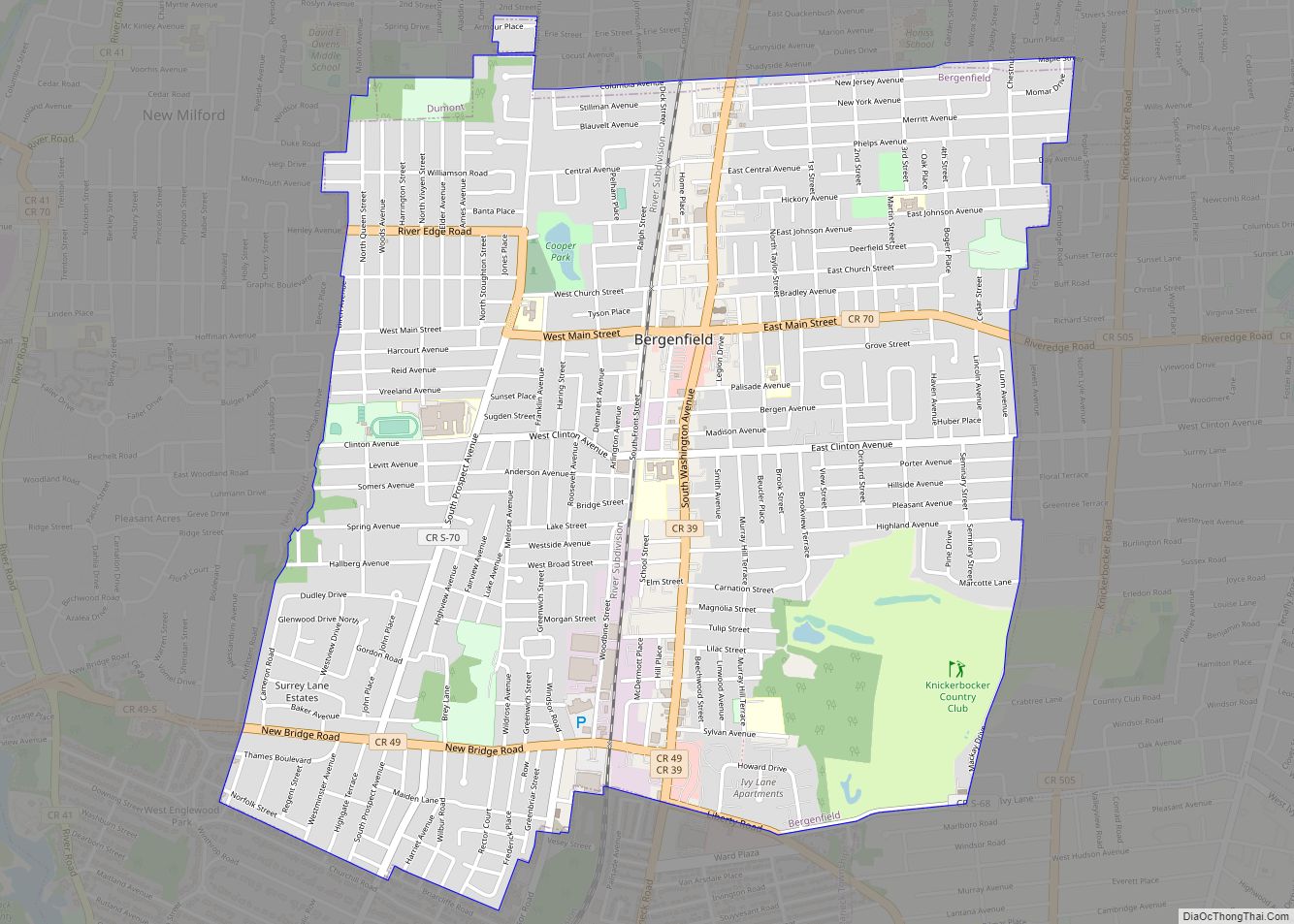
The borough borders the Bergen County municipalities of Dumont, Emerson, Haworth, New Milford, Paramus and River Edge.
Oradell Reservoir was formed by the Oradell Reservoir Dam placed on the Hackensack River, which was started in 1921 and finished in 1923. The reservoir is fed by the Pascack Brook and Dwars Kill in addition to the Hackensack River. The Dam has greatly reduced the amount of flooding in the eastern part of Oradell caused by the Hackensack River, though it also resulted in the loss of flora and fauna that depended on the fresh water that flowed down the river. Fed by rain from Hurricane Irene in August 2011, the water level in the reservoir rose two feet above the top of the dam, allowing billions of gallons of water to flow over the dam and exacerbating flooding conditions in Oradell and New Milford.
Climate
The climate in this area is characterized by hot, humid summers and generally mild to cool winters. According to the Köppen Climate Classification system, Oradell has a humid subtropical climate, abbreviated “Cfa” on climate maps.
See also
Map of New Jersey State and its subdivision: Map of other states:- Alabama
- Alaska
- Arizona
- Arkansas
- California
- Colorado
- Connecticut
- Delaware
- District of Columbia
- Florida
- Georgia
- Hawaii
- Idaho
- Illinois
- Indiana
- Iowa
- Kansas
- Kentucky
- Louisiana
- Maine
- Maryland
- Massachusetts
- Michigan
- Minnesota
- Mississippi
- Missouri
- Montana
- Nebraska
- Nevada
- New Hampshire
- New Jersey
- New Mexico
- New York
- North Carolina
- North Dakota
- Ohio
- Oklahoma
- Oregon
- Pennsylvania
- Rhode Island
- South Carolina
- South Dakota
- Tennessee
- Texas
- Utah
- Vermont
- Virginia
- Washington
- West Virginia
- Wisconsin
- Wyoming
