Fort Recovery is a village in Mercer County, Ohio, United States. The population was 1,501 at the 2020 census. The village is near the location of Fort Recovery, first established in 1793 under orders from General Anthony Wayne. The town is located near the headwaters of the Wabash River.
| Name: | Fort Recovery village |
|---|---|
| LSAD Code: | 47 |
| LSAD Description: | village (suffix) |
| State: | Ohio |
| County: | Mercer County |
| Elevation: | 942 ft (287 m) |
| Total Area: | 1.25 sq mi (3.25 km²) |
| Land Area: | 1.23 sq mi (3.20 km²) |
| Water Area: | 0.02 sq mi (0.05 km²) |
| Total Population: | 1,501 |
| Population Density: | 1,216.37/sq mi (469.74/km²) |
| ZIP code: | 45846 |
| Area code: | 419 |
| FIPS code: | 3927902 |
| GNISfeature ID: | 1040590 |
| Website: | http://www.fortrecovery.org/ |
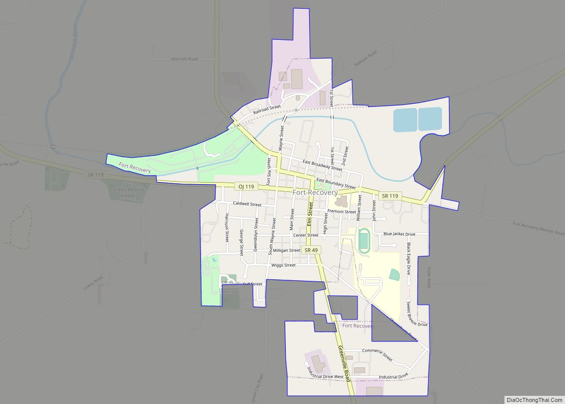
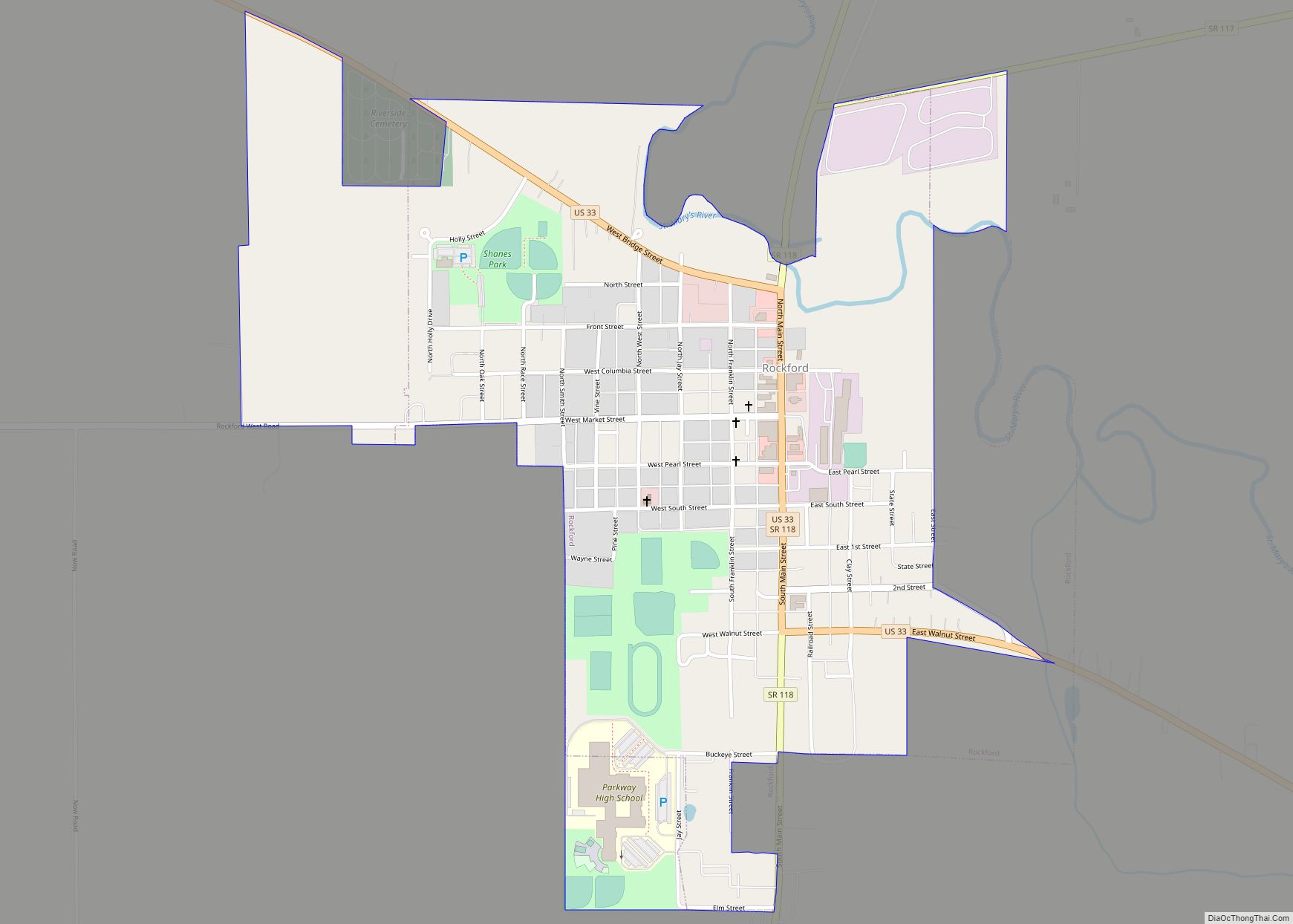
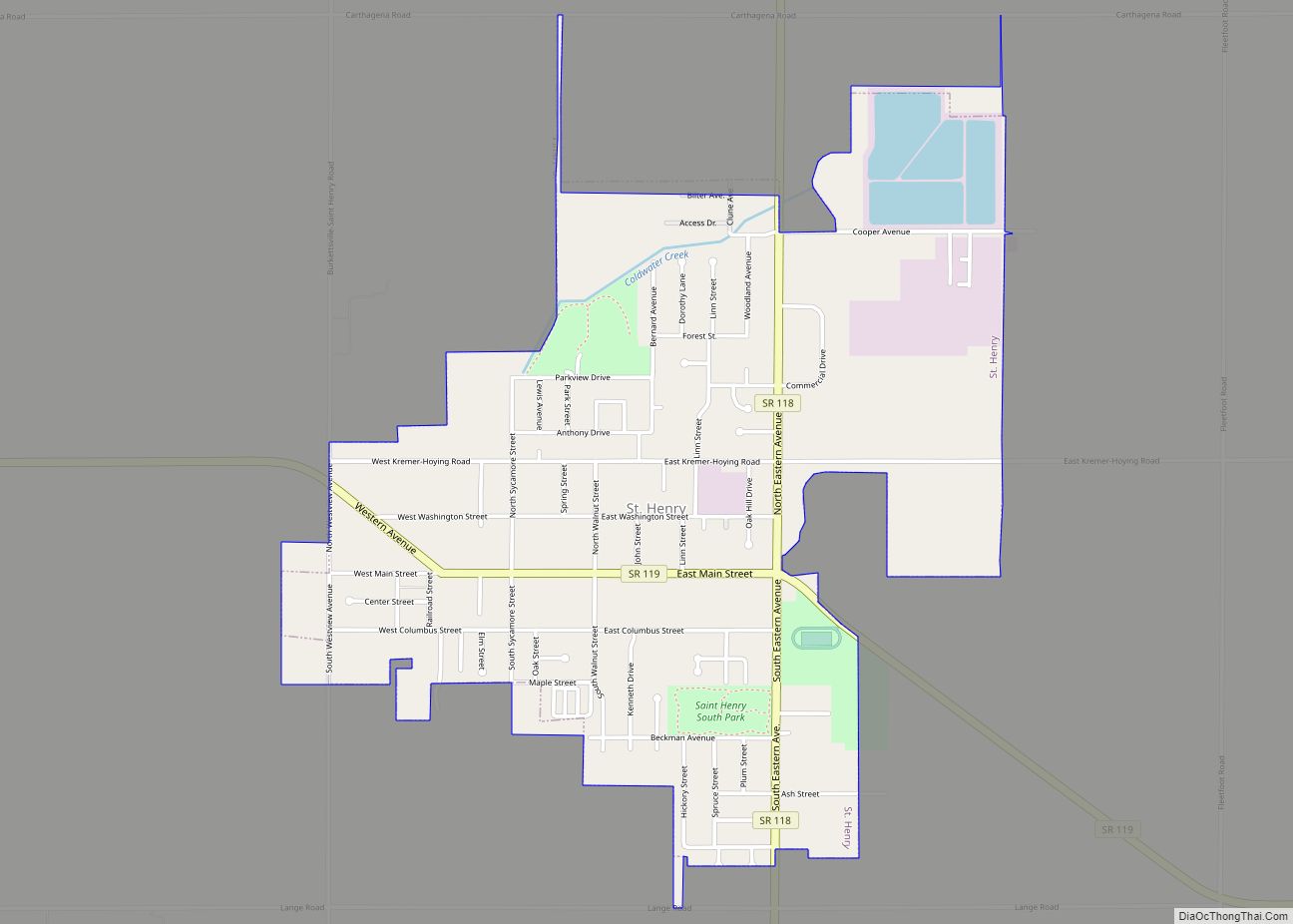
Online Interactive Map
Click on ![]() to view map in "full screen" mode.
to view map in "full screen" mode.
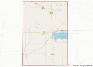
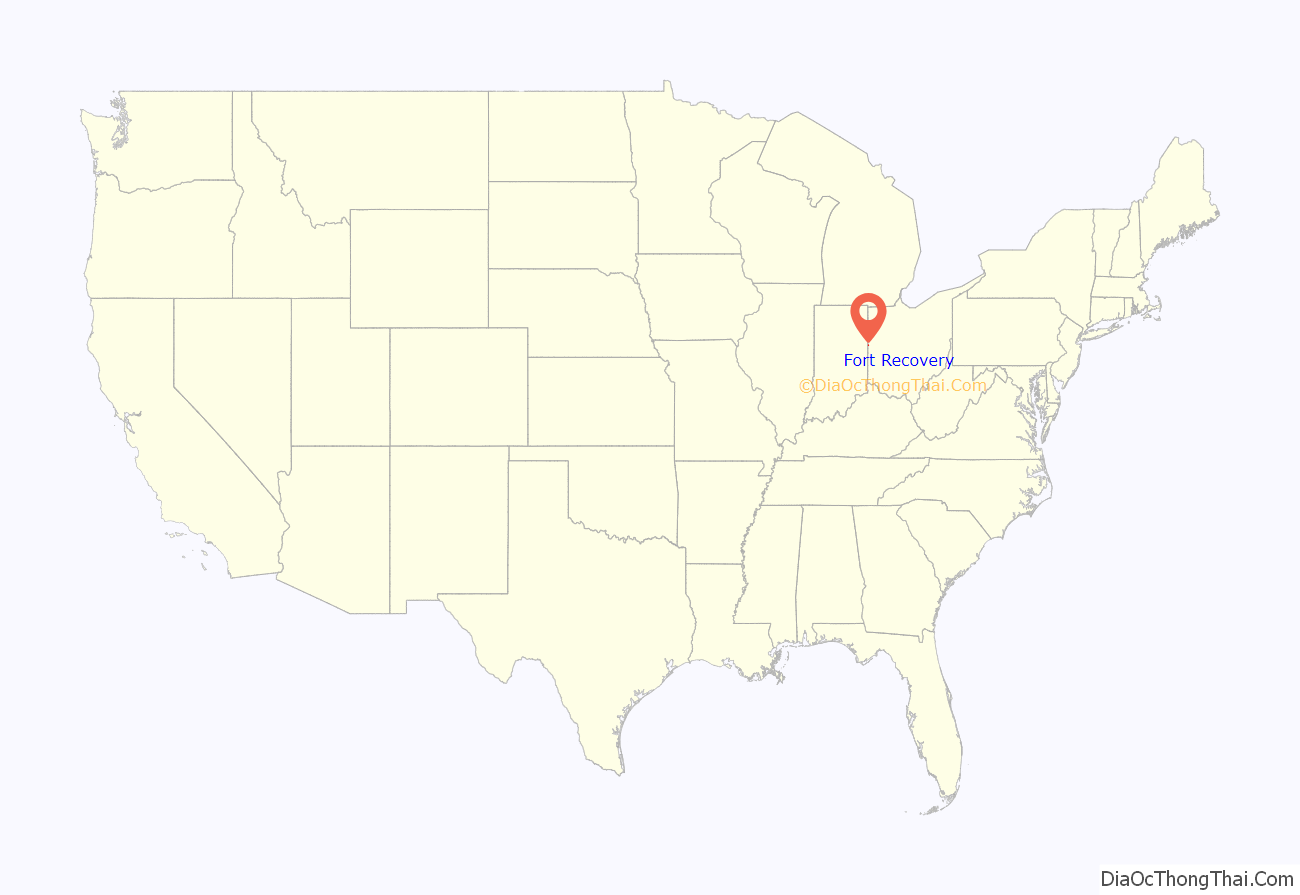
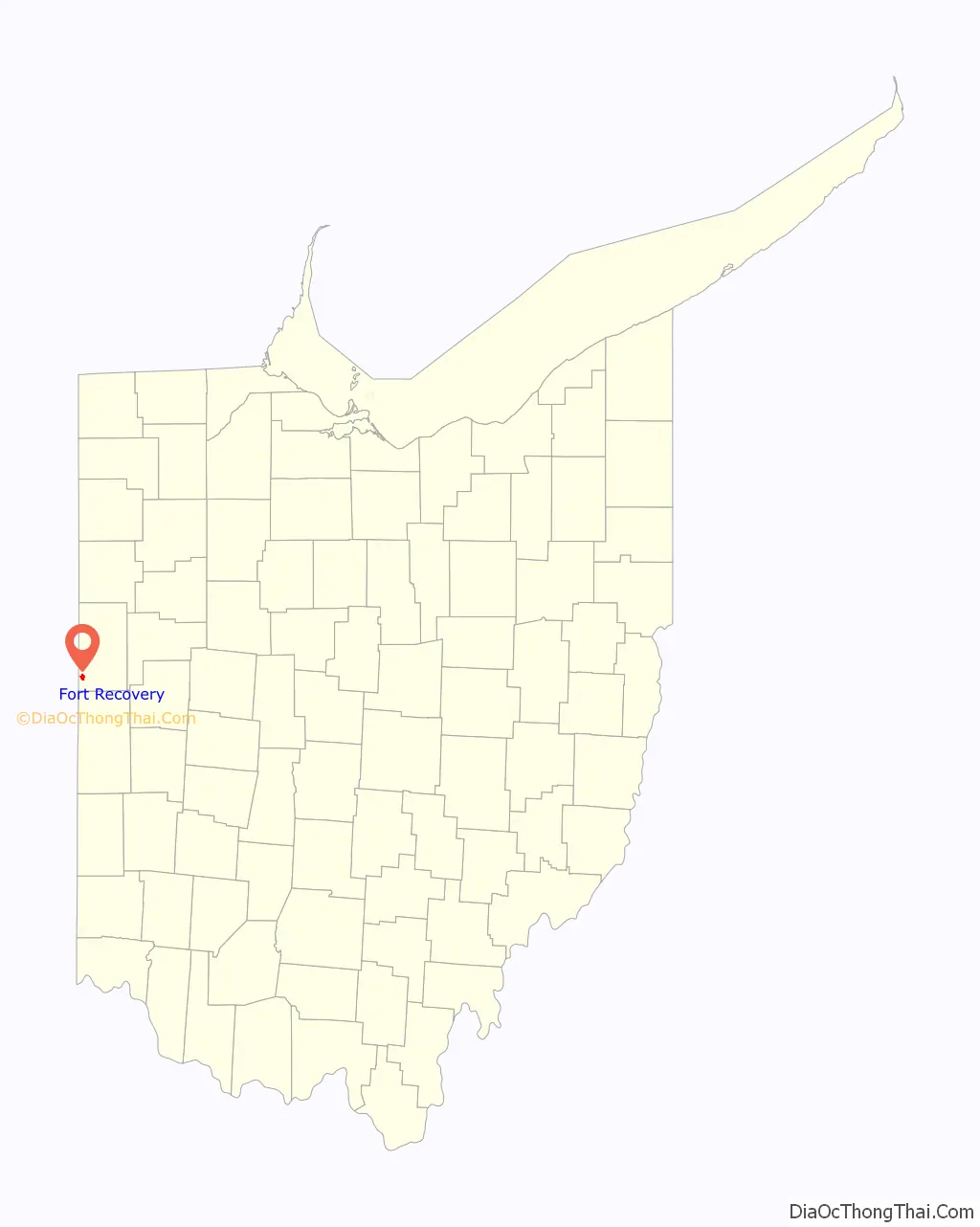
Fort Recovery location map. Where is Fort Recovery village?
History
Two well known battles of the Northwest Indian War took place at Fort Recovery. At the time, Ohio was claimed and populated by Native American nations, and conflict broke out when the young United States established settlements north of the Ohio River. In 1791, Northwest Territory governor Arthur St. Clair led a campaign north from Fort Washington to pacify the Western Confederacy at Kekionga. Instead, the United States force was destroyed in the early morning of November 4. St. Clair’s Defeat remains the greatest loss by the United States Army to a Native American force.
As a direct result of the Native American victory, the Legion of the United States was founded and placed under the command of General “Mad Anthony” Wayne. In late 1793, Wayne led 300 men to the site of St. Clair’s defeat and deliberately had Fort Recovery built there. On December 25, they identified the site due to the large amount of unburied remains. Private George Will wrote that to setup camp, the unit had to move bones to make space for their beds. On June 30 of the following year, a large Native American force and a few British officers conducted the Siege of Fort Recovery. Although the Legion suffered high casualties, they were able to maintain control of the fort, in part because they had recovered cannons lost by St. Clair in 1791. Wayne used Fort Recovery as a staging ground for advances into the territory. He ultimately defeated the Native American confederacy at the Battle of Fallen Timbers in August 1794. In 1795, confederacy representatives signed the Treaty of Greenville, which ceded control of most of the modern state of Ohio, using Fort Recovery as a reference point for the border between Native American and United States territories.
In 1818, a Virginia soldier who fought at the battle of St. Clair’s Defeat returned to the area in search of silver he left by a standing oak tree. The soldier remained in the area for an unknown amount of time and was later found dead in the woods. In 1852, a local resident struck metal with a grubbing hoe. The metal was iron bands encasing a small wooden box, and 900 Spanish doubloons were found, valued at $14,000 (equivalent to $456,008 in today’s dollars) in 1852.
In September 1851, the town organized Bone Burying Day, to inter the remains of bones that had been discovered from the battles at that location.
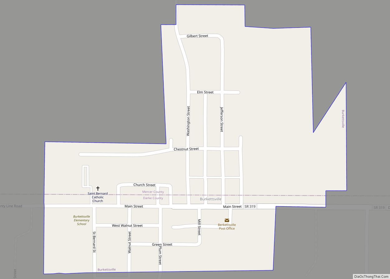
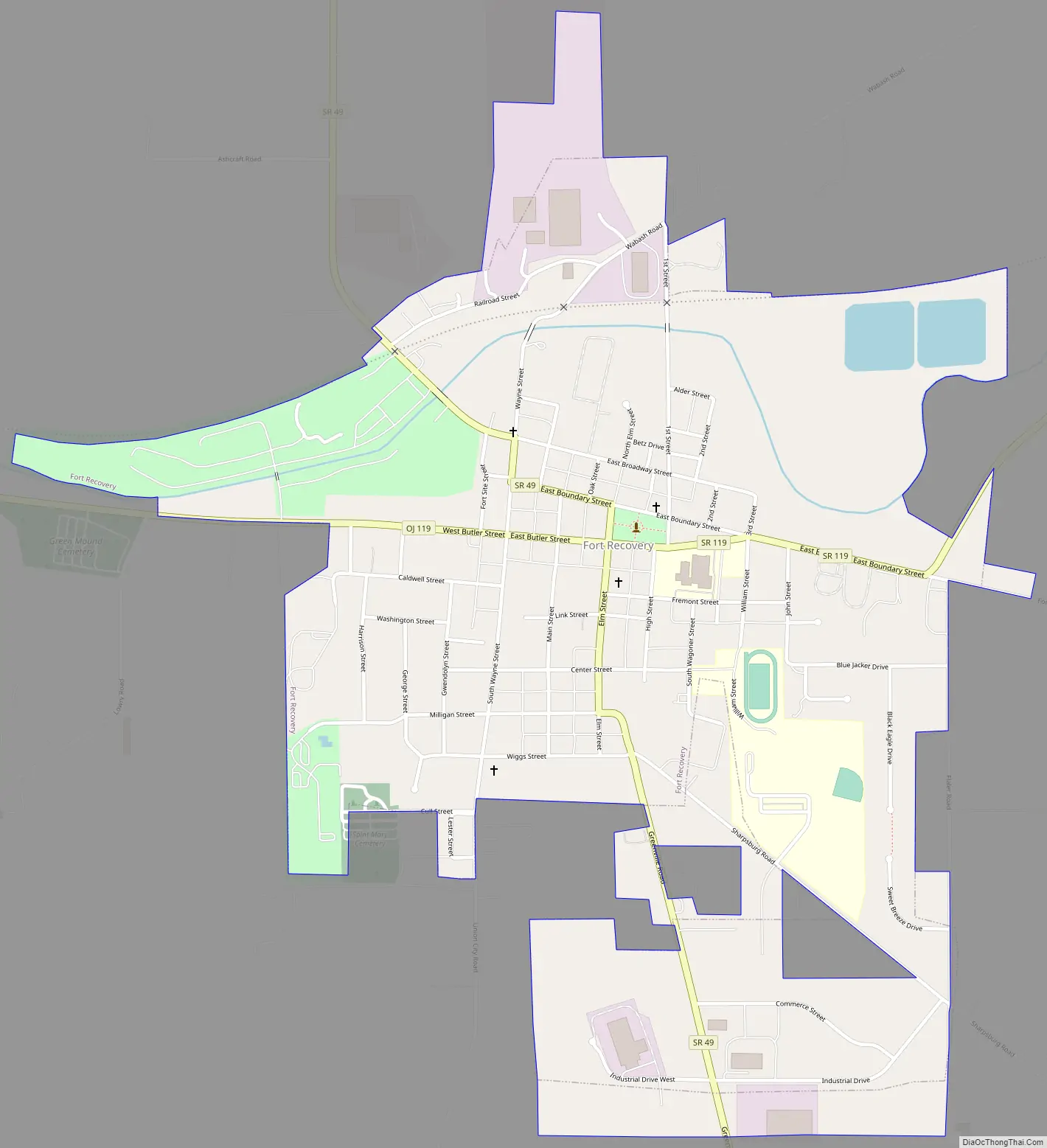
Fort Recovery Road Map
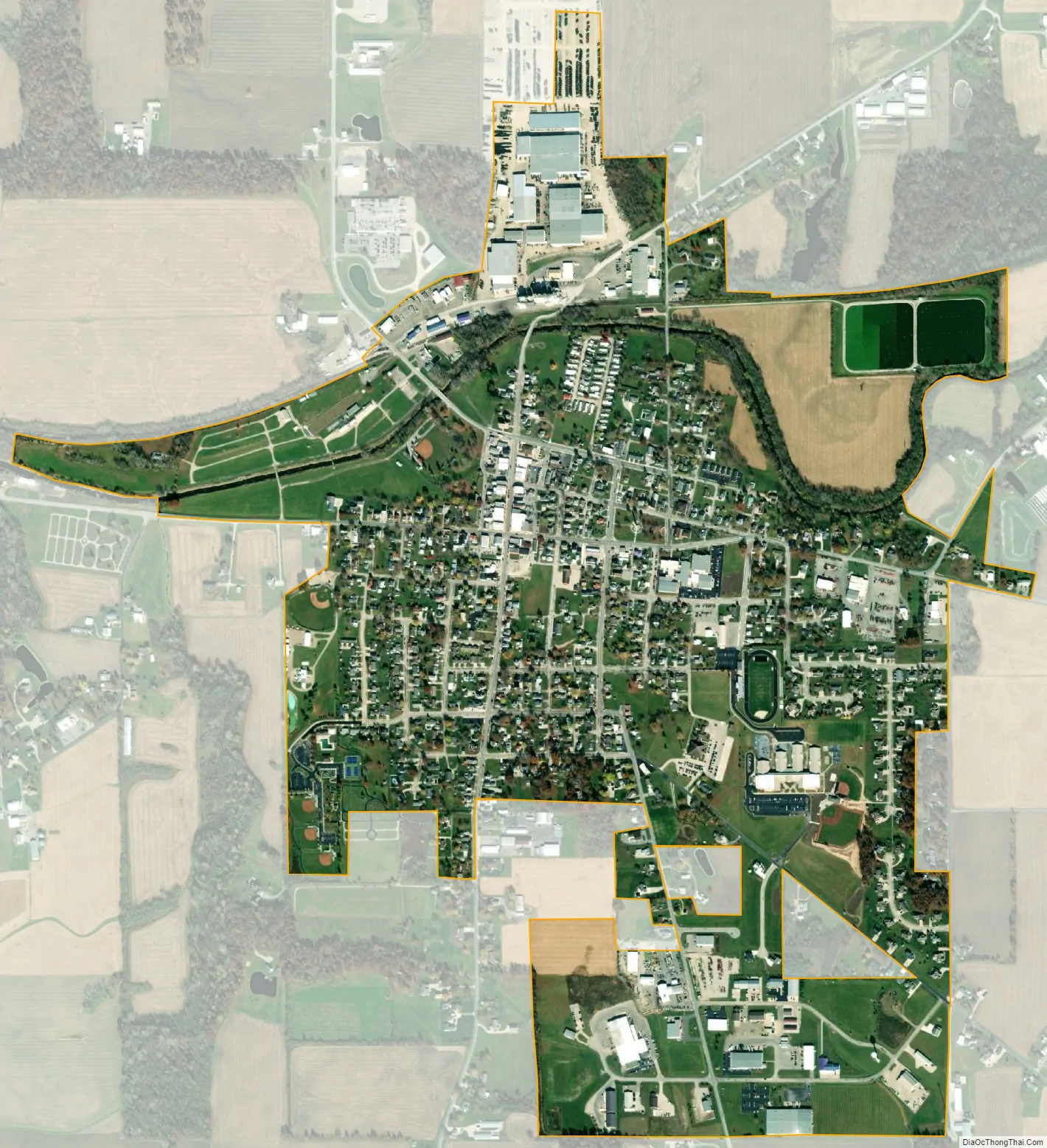
Fort Recovery city Satellite Map
Geography
Fort Recovery is located at 40°24′44″N 84°46′40″W / 40.412156°N 84.777641°W / 40.412156; -84.777641.
According to the United States Census Bureau, the village has a total area of 1.07 square miles (2.77 km), of which 1.05 square miles (2.72 km) is land and 0.02 square miles (0.05 km) is water.
The northwest corner of the Greenville Treaty Line is located in Fort Recovery.
Fort Recovery is located at the confluence of a number of major area roads, including State Route 119, State Route 49, Sharpsburg Road, Union City Road, Wabash Road, and Fort Recovery-Minster Road. Fort Recovery was a stop along the New York, Chicago and St. Louis Railroad that connected Buffalo to Chicago and St. Louis.
The Wabash River passes through Fort Recovery.
See also
Map of Ohio State and its subdivision:- Adams
- Allen
- Ashland
- Ashtabula
- Athens
- Auglaize
- Belmont
- Brown
- Butler
- Carroll
- Champaign
- Clark
- Clermont
- Clinton
- Columbiana
- Coshocton
- Crawford
- Cuyahoga
- Darke
- Defiance
- Delaware
- Erie
- Fairfield
- Fayette
- Franklin
- Fulton
- Gallia
- Geauga
- Greene
- Guernsey
- Hamilton
- Hancock
- Hardin
- Harrison
- Henry
- Highland
- Hocking
- Holmes
- Huron
- Jackson
- Jefferson
- Knox
- Lake
- Lake Erie
- Lawrence
- Licking
- Logan
- Lorain
- Lucas
- Madison
- Mahoning
- Marion
- Medina
- Meigs
- Mercer
- Miami
- Monroe
- Montgomery
- Morgan
- Morrow
- Muskingum
- Noble
- Ottawa
- Paulding
- Perry
- Pickaway
- Pike
- Portage
- Preble
- Putnam
- Richland
- Ross
- Sandusky
- Scioto
- Seneca
- Shelby
- Stark
- Summit
- Trumbull
- Tuscarawas
- Union
- Van Wert
- Vinton
- Warren
- Washington
- Wayne
- Williams
- Wood
- Wyandot
- Alabama
- Alaska
- Arizona
- Arkansas
- California
- Colorado
- Connecticut
- Delaware
- District of Columbia
- Florida
- Georgia
- Hawaii
- Idaho
- Illinois
- Indiana
- Iowa
- Kansas
- Kentucky
- Louisiana
- Maine
- Maryland
- Massachusetts
- Michigan
- Minnesota
- Mississippi
- Missouri
- Montana
- Nebraska
- Nevada
- New Hampshire
- New Jersey
- New Mexico
- New York
- North Carolina
- North Dakota
- Ohio
- Oklahoma
- Oregon
- Pennsylvania
- Rhode Island
- South Carolina
- South Dakota
- Tennessee
- Texas
- Utah
- Vermont
- Virginia
- Washington
- West Virginia
- Wisconsin
- Wyoming