Milford is a city in Clermont and Hamilton counties in the U.S. state of Ohio. Located along the Little Miami River and its East Fork in the southwestern part of the state, it is a part of the Cincinnati metropolitan area. The population was 6,582 at the 2020 census.
| Name: | Milford city |
|---|---|
| LSAD Code: | 25 |
| LSAD Description: | city (suffix) |
| State: | Ohio |
| County: | Clermont County, Hamilton County |
| Elevation: | 548 ft (167 m) |
| Total Area: | 3.84 sq mi (9.94 km²) |
| Land Area: | 3.71 sq mi (9.62 km²) |
| Water Area: | 0.12 sq mi (0.32 km²) |
| Total Population: | 6,582 |
| Population Density: | 1,773.17/sq mi (684.55/km²) |
| ZIP code: | 45150 |
| Area code: | 513 |
| FIPS code: | 3950176 |
| GNISfeature ID: | 1061523 |
| Website: | www.milfordohio.org |
Online Interactive Map
Click on ![]() to view map in "full screen" mode.
to view map in "full screen" mode.
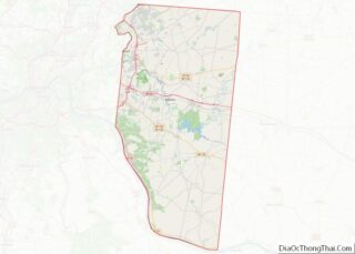
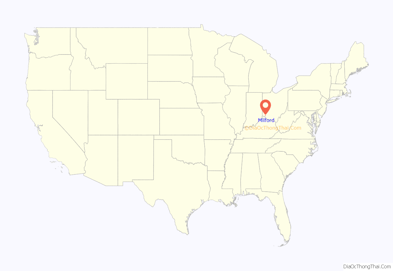
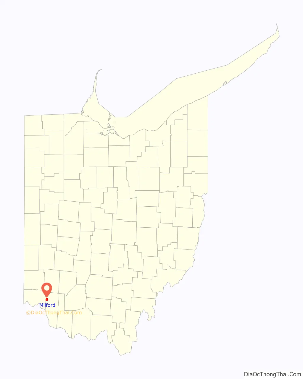
Milford location map. Where is Milford city?
History
The area within Milford, Old Milford, and O’Bannon Township were all built on a survey by John Nancarrow, a Revolutionary War veteran from Virginia. O’Bannon Township, now Miami Township, was named for Clermont’s first surveyor. A field along Gatch Avenue, on what was once the farm of John Gatch, has yielded large numbers of artifacts for several generations. It is now believed to have been the site of a Native American village during the Woodland period. The settlement commenced in 1796 near where two riverways—the Little Miami River and its East Fork—come together. It was later named Milford. The first Methodist class in the Northwest Territory was begun there in 1797. Due to a great Methodist influence, including the life of Rev. Francis McCormick, Milford is at the root of Methodist religious heritage westward from Appalachia. Nancarrow, the first surveyor, sold his share of 230 acres (0.93 km) of land to Philip Gatch on December 20, 1802, for a total of $920.00. Four years later, Gatch decided to sell 125 acres (0.51 km) to Ambrose Ranson who, soon after, sold 64 acres (260,000 m) to John Hageman. Hageman became the first long settler, naming the valley Hageman’s Mills. Nowadays, the field next to Gatch’s Estate belongs to the Valley View conservancy, having been an archaeological site called the Gatch Site.
After generations as a village, in 1982 after a census count of 5232, Milford attained city status.
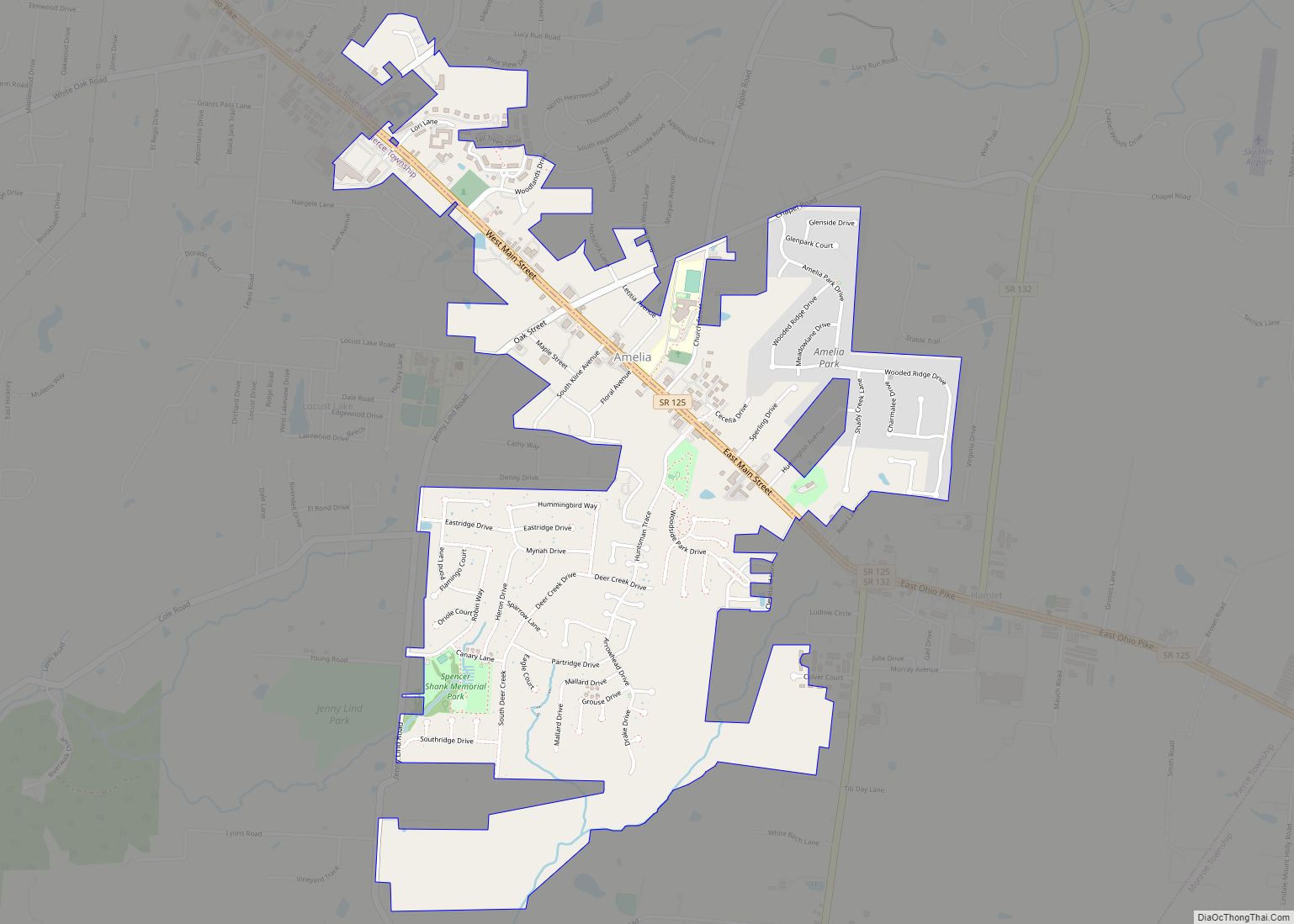
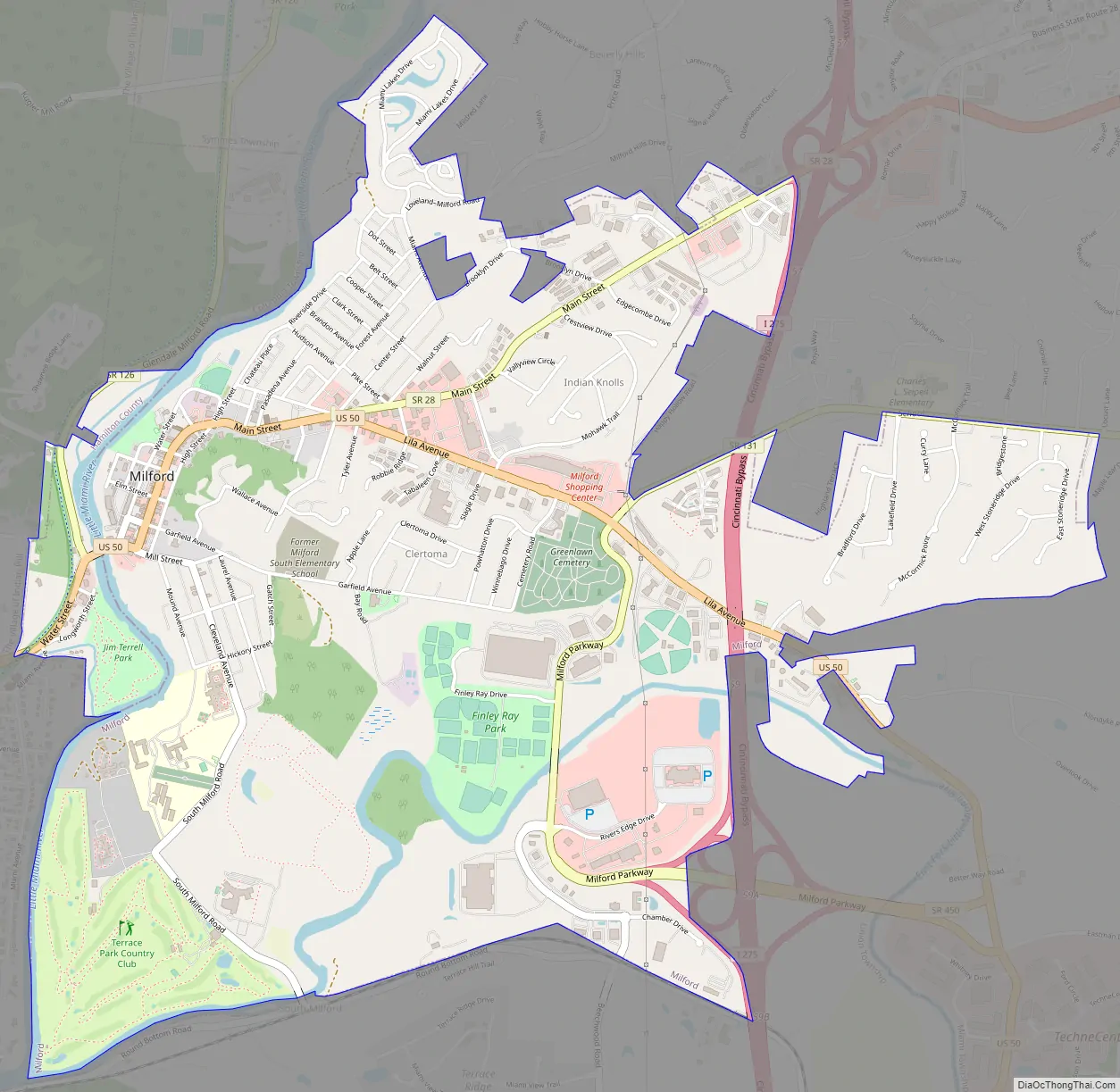
Milford Road Map
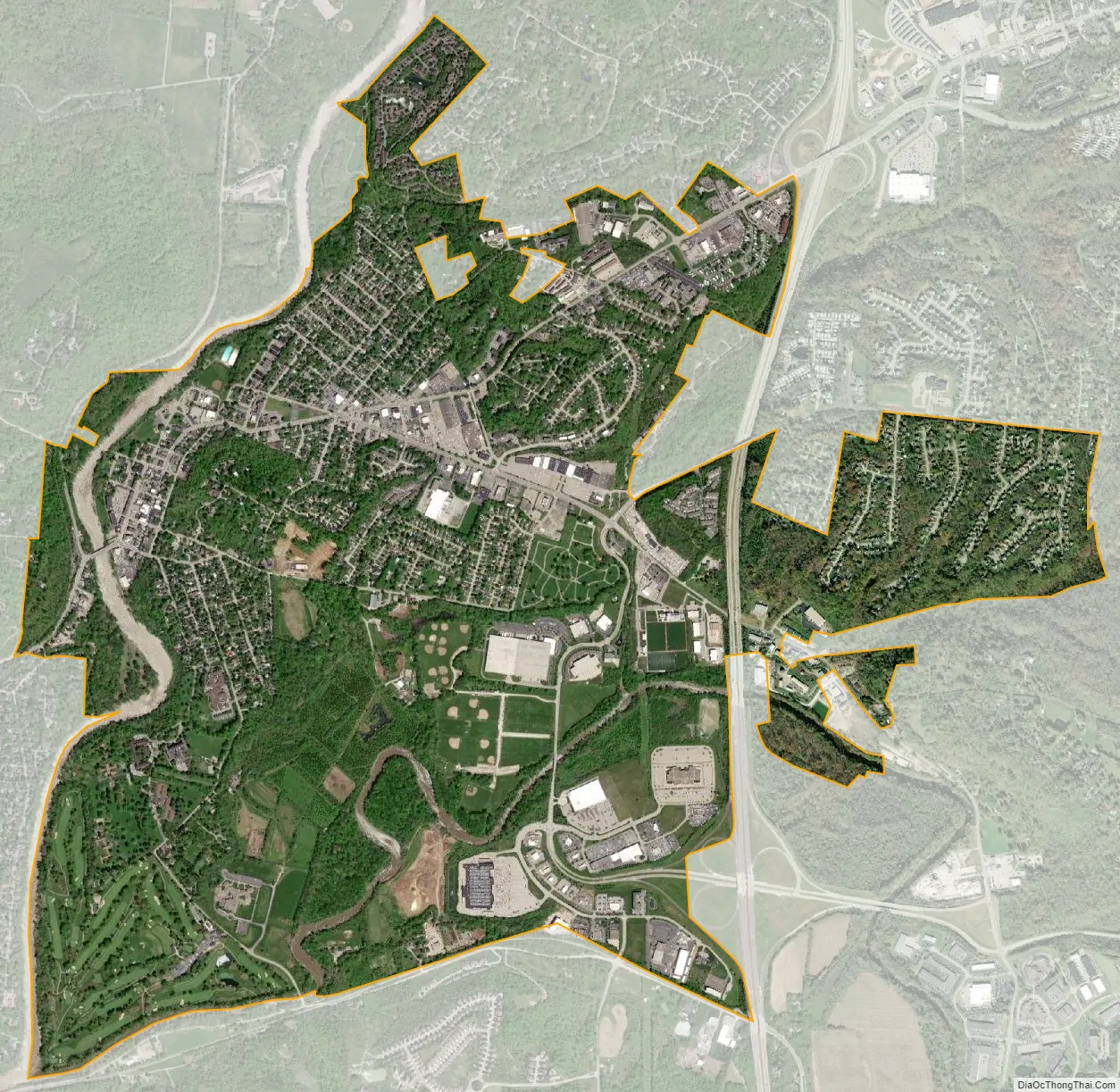
Milford city Satellite Map
See also
Map of Ohio State and its subdivision:- Adams
- Allen
- Ashland
- Ashtabula
- Athens
- Auglaize
- Belmont
- Brown
- Butler
- Carroll
- Champaign
- Clark
- Clermont
- Clinton
- Columbiana
- Coshocton
- Crawford
- Cuyahoga
- Darke
- Defiance
- Delaware
- Erie
- Fairfield
- Fayette
- Franklin
- Fulton
- Gallia
- Geauga
- Greene
- Guernsey
- Hamilton
- Hancock
- Hardin
- Harrison
- Henry
- Highland
- Hocking
- Holmes
- Huron
- Jackson
- Jefferson
- Knox
- Lake
- Lake Erie
- Lawrence
- Licking
- Logan
- Lorain
- Lucas
- Madison
- Mahoning
- Marion
- Medina
- Meigs
- Mercer
- Miami
- Monroe
- Montgomery
- Morgan
- Morrow
- Muskingum
- Noble
- Ottawa
- Paulding
- Perry
- Pickaway
- Pike
- Portage
- Preble
- Putnam
- Richland
- Ross
- Sandusky
- Scioto
- Seneca
- Shelby
- Stark
- Summit
- Trumbull
- Tuscarawas
- Union
- Van Wert
- Vinton
- Warren
- Washington
- Wayne
- Williams
- Wood
- Wyandot
- Alabama
- Alaska
- Arizona
- Arkansas
- California
- Colorado
- Connecticut
- Delaware
- District of Columbia
- Florida
- Georgia
- Hawaii
- Idaho
- Illinois
- Indiana
- Iowa
- Kansas
- Kentucky
- Louisiana
- Maine
- Maryland
- Massachusetts
- Michigan
- Minnesota
- Mississippi
- Missouri
- Montana
- Nebraska
- Nevada
- New Hampshire
- New Jersey
- New Mexico
- New York
- North Carolina
- North Dakota
- Ohio
- Oklahoma
- Oregon
- Pennsylvania
- Rhode Island
- South Carolina
- South Dakota
- Tennessee
- Texas
- Utah
- Vermont
- Virginia
- Washington
- West Virginia
- Wisconsin
- Wyoming